Cyclists.com

Green Circular Route

Monifieth, Angus, United KingdomRoad

Signed route The waymarked Green Circular Route (local route), traced from OpenStreetMap and measured against the terrain model; no member has recorded it yet. Ridden it? Add your recording and photos.

38 km
Distance
188 m
Elevation gain
Easy
Difficulty
Paved
Surface
Download GPXMap

Elevation profile

Total ascent
188 m
Distance
38 km
050100150200m0 km10203038 km178 m · highest, at 13.4 kmStartFinish · back at the start

Route overview

Suitable for riders comfortable with moderate distance and some climbing over varied surfaces.

38 km loop route around Monifieth, Angus, with 188 m climbing and varied road types.

This 38 km circular route starts and finishes in Monifieth, passing through numerous suburbs and localities including Douglas, Whitfield, Pitkerro, Birkhill, and Broughty Ferry among others. The highest point is at 177 m elevation around km 13.1. The main climb extends from km 9.9 for 3.2 km with an average gradient of 3.3% and a gain of 106 m. The surface is mainly paved (89%), with some gravel or unpaved sections (5%) and some unmapped (6%). The route features a variety of road types: 20.1 km on cycle paths, 6.2 km on paths, 5 km on quiet streets, 3.9 km on minor roads, 1.5 km on roads with cycle lanes, and 0.5 km on main roads. The route is mostly flat with 75% flat terrain, 12% climbing, and 13% descending. The longest descent is 3 km starting at 14.9 km with a drop of 111 m. Amenities include cafés, pubs, shops, water taps, toilets, and bike shops at various points along the way. The longest stretch without café, shop, or water is 3.7 km between km 7.1 and 10.8. Bailout stations are available at Dundee (25.7 km) and Balmossie (35.1 km).

Highlights

  • Main climb from 9.9 km to 13.1 km
  • Highest point at 177 m elevation
  • Cycle paths cover 54% of the route
  • Longest descent of 3 km starting at 14.9 km

Along the route

Measured from the recorded track and OpenStreetMap.

Places passed

  1. Douglas 3.9 km
  2. Whitfield 4.3 km
  3. Mid Craigie 5.6 km
  4. Fintry 6.2 km
  5. Pitkerro 6.5 km
  6. Linlathen 6.5 km
  7. Mill o' Mains 7.5 km
  8. Claverhouse 8.2 km
  9. Trottick 9 km
  10. Kirkton 9.5 km
  11. Downfield 10.4 km
  12. Balgowan 10.5 km
  13. Strathmartine 10.5 km
  14. Brackens 11.6 km
  15. Ardler 11.7 km
  16. St Mary's 11.7 km
  17. Birkhill 14.7 km
  18. Charleston 17.4 km
  19. Myrekirk 17.6 km
  20. Gowrie Park 18.7 km
  21. Invergowrie 19.9 km
  22. Ninewells 21.2 km
  23. Logie 23.2 km
  24. West End 23.5 km
  25. Dundee 25.9 km
  26. Waterfront 25.9 km
  27. City Quay 26.5 km
  28. City Centre 26.6 km
  29. Craigiebank 28.8 km
  30. Craigie 29.8 km
  31. Broughty Ferry 32.5 km
  32. Monifieth 35.7 km

Climbs

ClimbStarts atLengthGainAverageMaxTop
9.9 km3.2 km106 m3.3 %4.6 %177 m

High point 177 m at 13.1 km; low point 1 m.

What this ride is like

Measured from OpenStreetMap along the track and the elevation profile.

Roads
54% cycle path · 17% path · 13% quiet street · 10% minor road
Cycle paths
21.6 km on cycle paths or roads with a cycle lane
Surface
Paved throughout
Gradient
12% climbing · 13% descending · 75% flat
Longest descent
3 km from 14.9 km, dropping 111 m

Along the way

Within a few hundred metres of the track, from OpenStreetMap. Opening hours change — treat this as where to look, not a promise.

Food, water and shops

  1. 2.2 kmAldi · supermarket · 100 m off route
  2. 2.8 kmStarbucks · café · on the route
  3. 5.4 kmBoots · pharmacy · 230 m off route
  4. 7.1 kmForfar Road Service Station · petrol station · on the route
  5. 8 kmLanka House Group · bike shop · 540 m off route
  6. 11.4 kmNine Maidens · pub · 30 m off route
  7. 15.9 kmToilets · on the route
  8. 17.6 kmAldi · supermarket · 90 m off route
  9. 17.8 kmAsda · petrol station · 140 m off route
  10. 25 kmTesco · petrol station · 40 m off route
  11. 25.3 kmTesco Extra · supermarket · 100 m off route
  12. 25.7 kmToilets · on the route
  13. 26.1 kmForks Café · café · on the route
  14. 26.7 kmElectric Bikes Scotland · bike shop · on the route
  15. 32.5 kmBoughty Ferry News · convenience store · 60 m off route
  16. 32.5 kmRepair stand · 300 m off route
  17. 33 kmWindmill Public Toilet · toilets · on the route
  18. 34.5 kmEsso · petrol station · 230 m off route

Need to bail out?

  • 25.7 kmDundee (station), 110 m off route
  • 35.1 kmBalmossie (station), 30 m off route

Whether bikes are carried depends on the service — check before relying on it.

Worth a stop

  • 2.5 kmClaypotts Castle (castle)
  • 16.3 kmHawk Owl (attraction)
  • 22.4 kmTay View (viewpoint)
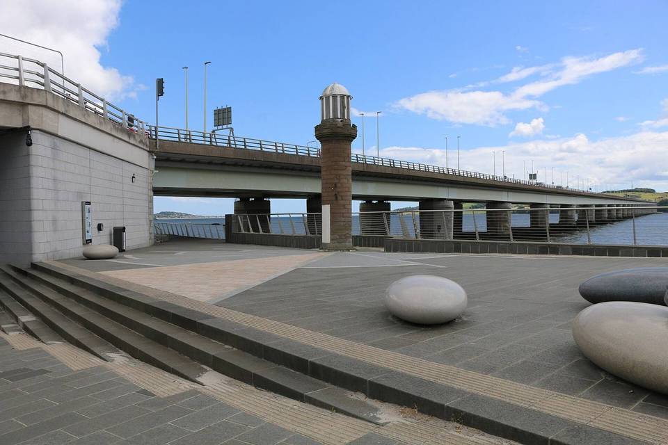
  • 26.2 kmTay Road Bridge Monument (monument)
  • 32.7 kmBroughty Castle (castle)

At the start and finish

  • Best Kebab and Pizza House · fast food · 310 m
  • Co-op Food · convenience store · 320 m
  • Tong's Dynasty · fast food · 290 m
  • The Bell Tree · pub · 360 m

Practical information

Surface
Paved
Route shape
Loop
Riding time
2 h 43 min
Best months
Jun to Sep — daily highs of 16–18 °C in those months

Know before you go

  • Longest stretch without cafe, shop or water is 3.7 km from 7.1 to 10.8 km
  • 0.5 km on main roads
  • Steepest 500 m section at 4.5% gradient at 10.6 km

Routes are for inspiration. Roads, surfaces and conditions change — check locally and ride within your limits.

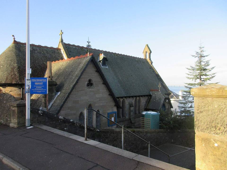
2 photographs from the road

Photo: Scott Cormie · CC BY-SA 2.0 · Wikimedia Commons · Photo: James Allan · CC BY-SA 2.0 · Wikimedia Commons