Cyclists.com

Fujairah Loop via Wahala and Al Ghayl Fort

105 km road cycling loop1,528 m climbing3½–4½ hoursGPX

Fujairah, United Arab Emirates · Road

A hilly 105 km road cycling loop from Fujairah through Munay, Al Uqdah and Wahala, with 1,528 m of climbing over Jabal Al Khasfah. Most of it (98.6 km) is on main roads without a cycle lane, 43.9 km where the limit is 80 km/h or more. There is a 38 km stretch without a café, shop or water (km 29–66).
Download GPXMap

At a glance

Best for
Hilly days out for confident riders at ease in traffic
Distance
104.5 km
Loop
Elevation gain
1,528 m
15 m per km
Riding time
3½–4½ hours
moving time, estimated
Difficulty
Hard
Bike
Road bike
from the mapped surface
Surface
Paved
99% paved · 1% unpaved
Traffic
Mostly main roads
98.6 km on main roads without a cycle lane · 43.9 km where the limit is 80 km/h or more
Food & water
Longest gap 38 km
6 cafés and restaurants · 1 shop · 1 petrol station · 2 public toilets
Best months
Dec to Mar
Fujairah climate, 10 years
Navigation
GPX download
free, no sign-in
Start and finish
Fujairah

Map and elevation profile

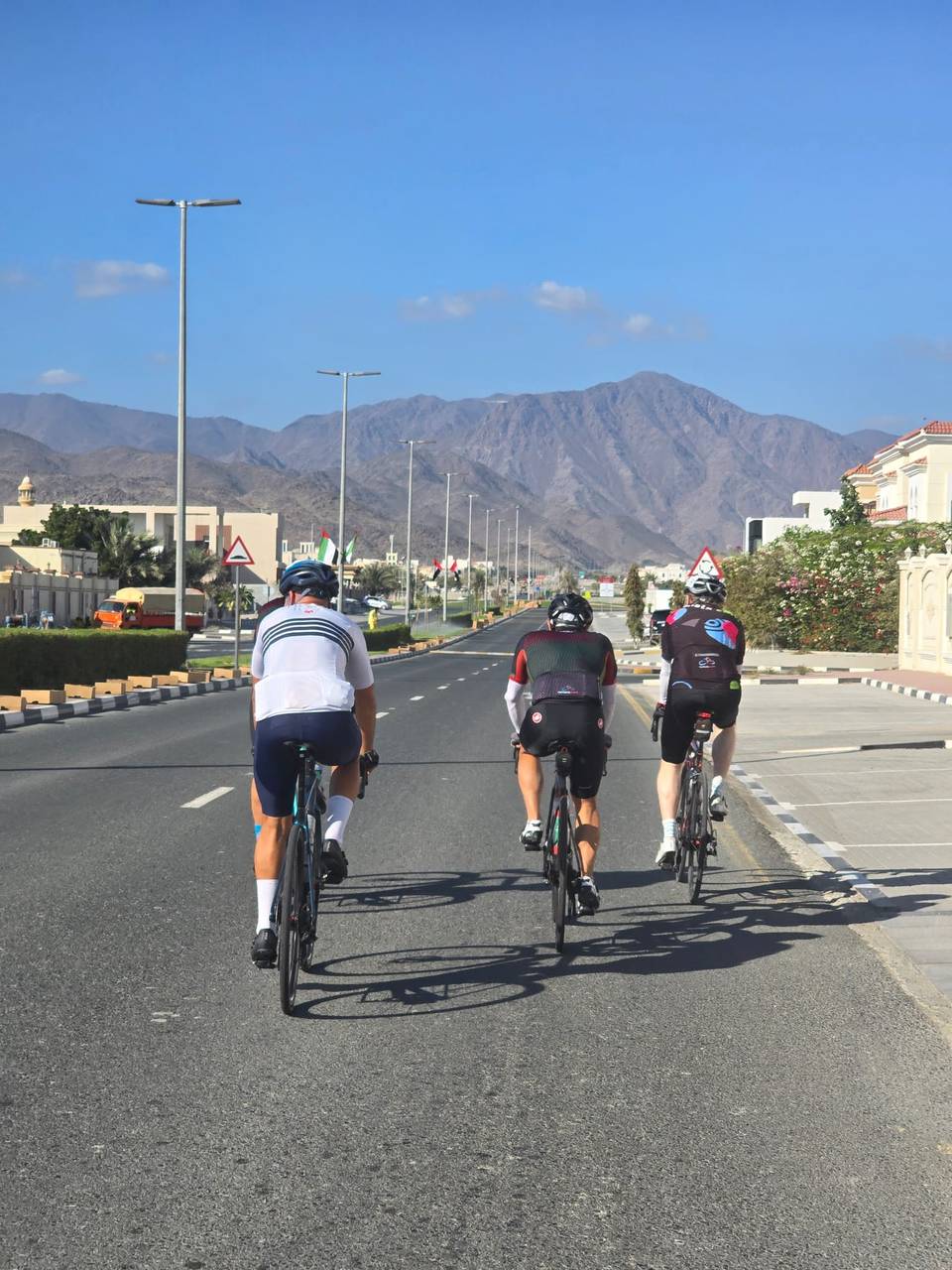
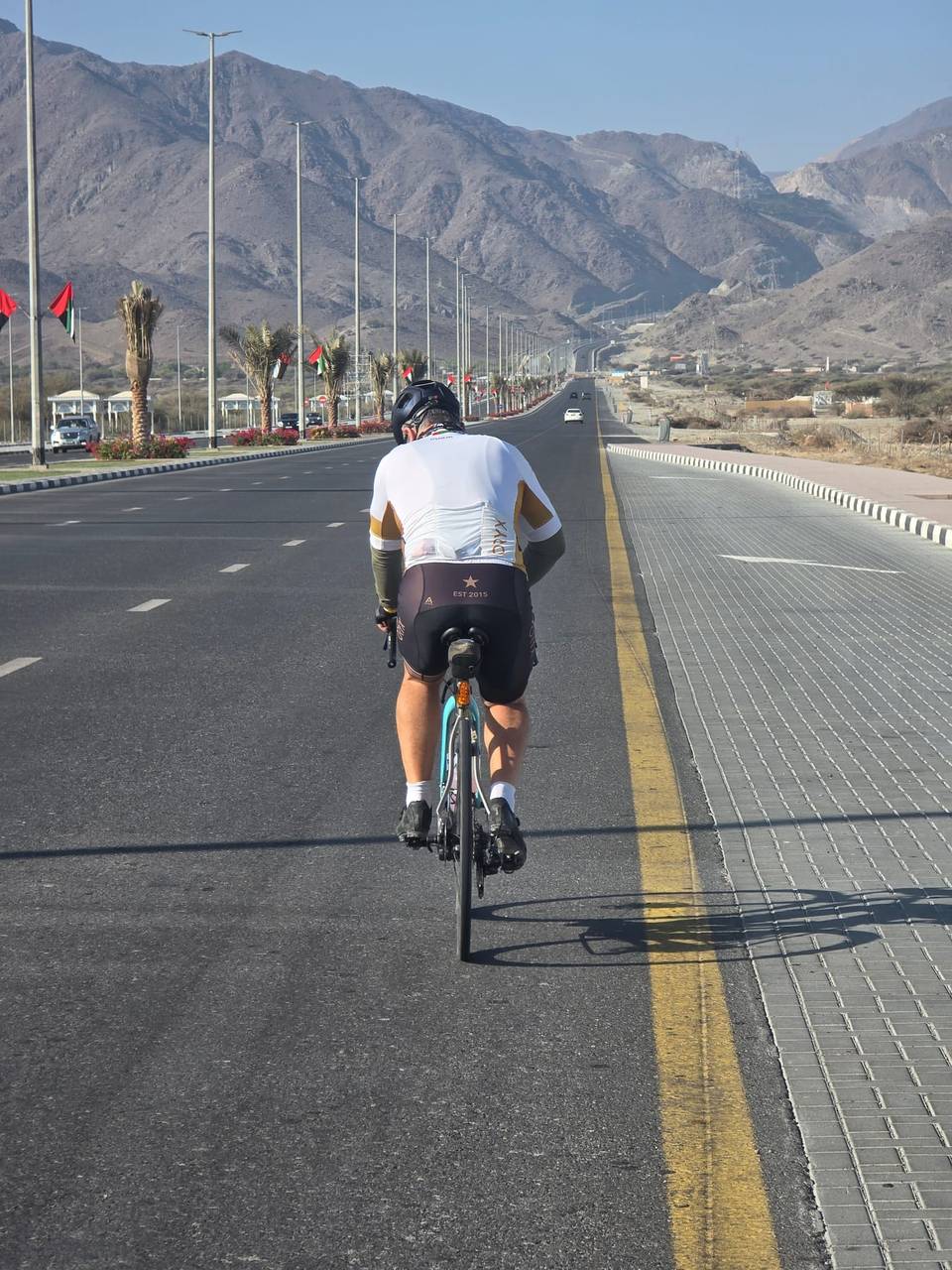
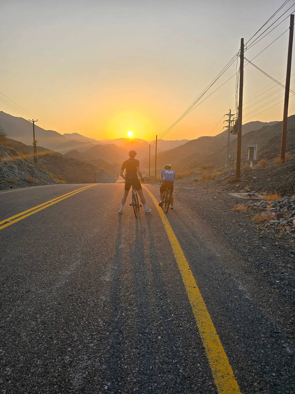
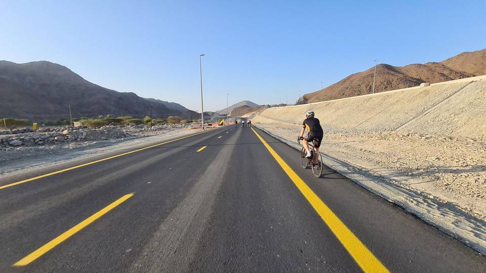
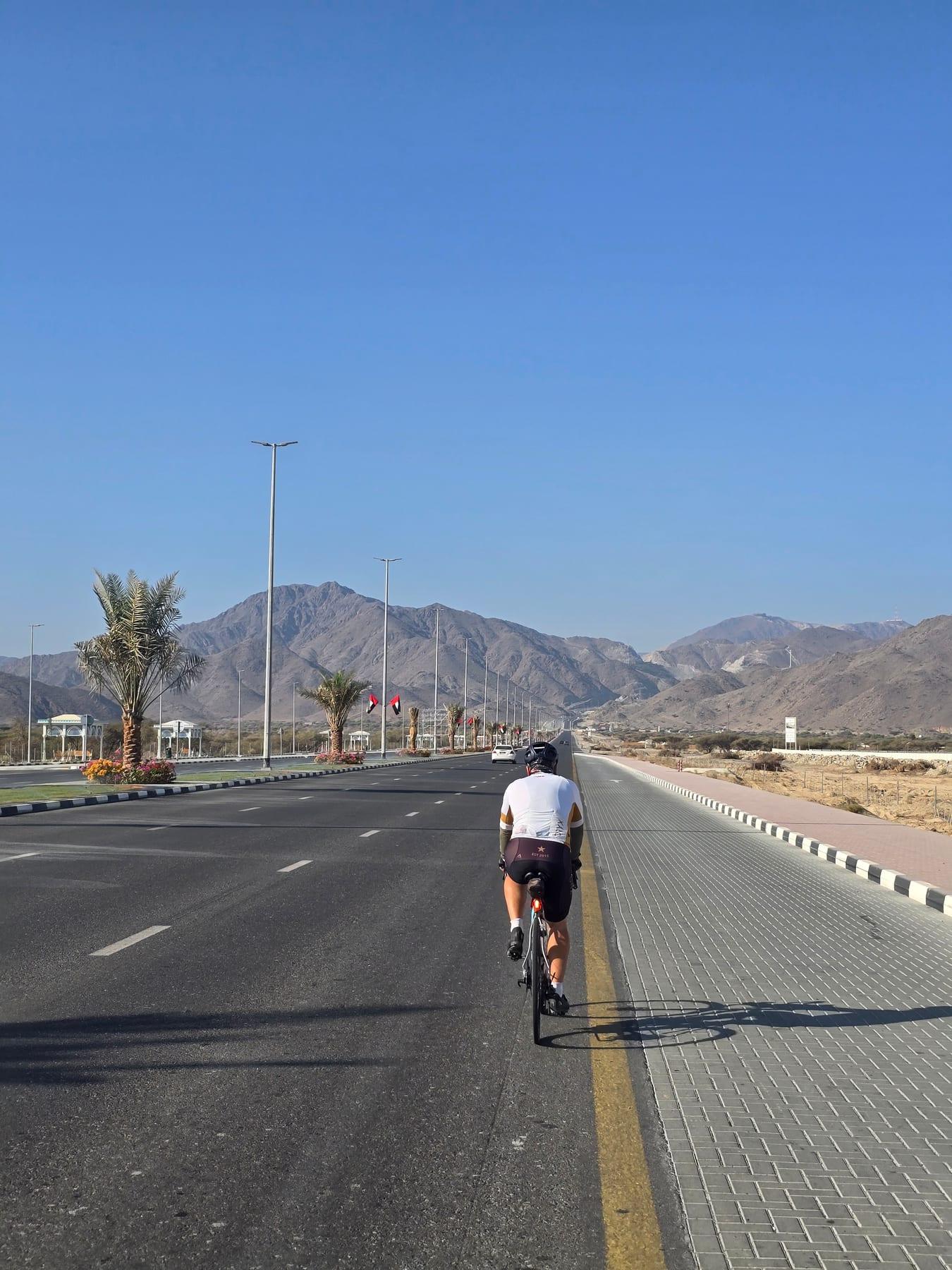
On the road: Fujairah Loop via Wahala and Al Ghayl Fort, Fujairah

Elevation profile

Total ascent
1,528 m
Distance
105 km
0100200300400m0 km255075104 km364 m · highest, at 1.0 kmStartFinish · back at the start

Route description

  1. Fujairah
  2. Munaykm 8
  3. Al Uqdahkm 39
  4. Wahalakm 54
  5. Jabal Al Khasfahkm 70
  6. Minazifkm 88
  7. Al Qilē'īkm 89
  8. Fujairahkm 105

The route starts and finishes in Al Fujayrah, heading through Munay (8.1 km) and Al Uqdah (39.4 km) before reaching Wahala at 54.3 km. It continues to Minazif (87.9 km) and Al Qilē'ī (88.9 km) before returning to Al Fujayrah. The first half contains 45% of the total climbing, with multiple short climbs ranging from 2.8% to 5.9% average gradient, including steeper sections up to 12.9%. The highest point is 363 m near the start, and the lowest at 2 m around 66.7 km. Most of the terrain is paved road surface (99%), with just 1 km of gravel or unpaved track.

Why ride this route?

  • The longest of the 10 rides from Fujairah.
  • Climbs Jabal Al Khasfah (4.2 km at 6.4 %).
  • Tops out at 363 m, 1 km in.

Highlights

  • Climbs with max gradients up to 12.9%
  • Peaks Jabal Al Miqsha and Jabal Al Khasfah nearby
  • Longest descent of 3.3 km with 231 m drop
  • Hanging Garden Kalba and forts near route

Along the route

Measured from the route line, the Copernicus elevation model and OpenStreetMap.

Places passed

  1. Munay 8.1 km
  2. Al Uqdah 39.4 km
  3. Wahala 54.3 km
  4. Minazif 87.9 km
  5. Al Qilē'ī 88.9 km

Climbs

Climbs in ride order: where each starts, what this ride climbs, and the full named ascent
ClimbStarts atOn this rideFull ascentTop on this ride
Unnamed climb9.9 km1.8 km · 49 m · 2.8 % · max 3.8 %305 m
Unnamed climb14.7 km1.6 km · 76 m · 4.7 % · max 12.9 %314 m
Unnamed climb19.5 km1.6 km · 86 m · 5.4 % · max 12 %260 m
Unnamed climb25.4 km2.2 km · 61 m · 2.8 % · max 4.1 %260 m
Unnamed climb34.8 km5.6 km · 124 m · 2.2 % · max 3.1 %167 m
Unnamed climb40.9 km2.4 km · 96 m · 4 % · max 8.1 %268 m
Jabal Al Khasfah70 km4.5 km · 266 m · 5.9 % · max 12 %4.2 km · 273 m · 6.4 %282 m
Unnamed climb80.3 km1.4 km · 88 m · 6.1 % · max 12.4 %268 m
Unnamed climb82.8 km1.9 km · 70 m · 3.7 % · max 6.3 %233 m
Unnamed climb84.9 km1.8 km · 73 m · 4.1 % · max 9.9 %301 m
Unnamed climb88.7 km2.2 km · 64 m · 3 % · max 5.3 %308 m
Unnamed climb100.3 km1.6 km · 41 m · 2.6 % · max 4.4 %352 m

High point 363 m at 1 km; low point 2 m. Passes beneath Jabal Al Miqsha, Jabal Al Khasfah.

On this ride: the part this route climbs, cut from its own elevation profile. Full ascent: the whole named climb, measured the same way on every ride that uses it (its climb page).

A point maximum far steeper than the climb’s average is usually an elevation-data spike, so the steepest 500 m of the profile is shown instead (or nothing, where the profile is too coarse).

Jabal Al Khasfah · full ascent, starts at 69.9 km

4.2 km at 6.4% · 273 m
50100150200250m5.6%13%0 km1234.2 km289 msteepest 12.6%
< 4%4 – 7%7 – 10%> 10%

Traffic, surface and gradient

Measured from OpenStreetMap along the track and the elevation profile.

This is not a cycle-track route: 94% is on main roads without a cycle lane, 43.9 km of it where the limit is 80 km/h or more. Riders should be comfortable sharing the road with faster traffic.

Roads
58% motorway · 34% main road · 4% major road · 3% minor road · 2% other roads and tracks
Main roads
98.6 km on main roads without a cycle lane — likely busier
Fast roads
43.9 km on roads with a limit of 80 km/h or more
Main roads used
Sharjah - Kalba Road (53 km), Al Rabet Street (7 km)
Surface
Paved: 99% of the route is mapped as paved, 1% as unpaved.
Gradient
29% climbing · 30% descending · 42% flat
Steep sections
6.7 km over 5% · 3.8 km over 8% · 1.7 km over 10% · steepest 500 m averages 24% at 0 km
Longest descent
3.3 km from 28.5 km, dropping 231 m

Food, water and services

Within a few hundred metres of the track, from OpenStreetMap. Opening hours change — treat this as where to look, not a promise.

The longest stretch without a café, shop or water is 38 km, from km 29 to 66. Along the route: 6 cafés and restaurants, 1 shop, 1 petrol station and 2 public toilets.
Food, water and shops in ride order

  1. 28.7 kmHabib Beirut · restaurant · 90 m off route
  2. 34.1 kmKalba Health Center · clinic · 770 m off route
  3. 66.2 kmKiosk · 90 m off route
  4. 68.1 kmStarbucks · café · on the route
  5. 68.1 kmToilets · 40 m off route
  6. 68.1 kmADNOC · petrol station · 170 m off route
  7. 74.3 kmLa Brasseria · restaurant · 50 m off route

Worth a stop

  • 28.7 kmHanging Garden Kalba (attraction)
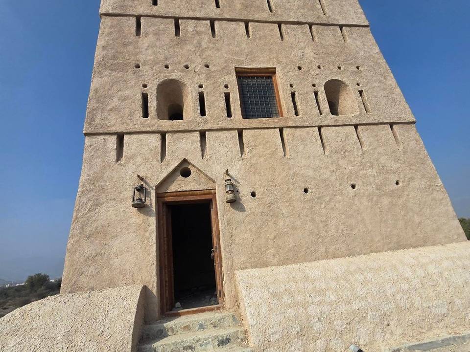
  • 32.2 kmAl Ghayl Fort (castle)
  • 54.3 kmWahla Fort (castle)
  • 66 kmWildlife observation (viewpoint)

Know before you go

  • 37.5 km stretch without café, shop, or water from km 28.7 to 66.2
  • 98.6 km on main roads without cycle lanes
  • 43.9 km on roads with speed limits 80 km/h or more

Routes are for inspiration. Roads, surfaces and conditions change — check locally and ride within your limits.

About this route

Dates ridden
to · 5 recordings
Route line
Built from 5 GPS recordings of the ride.
Elevation
Recalculated from the Copernicus GLO-90 terrain model every 50 m, not the device’s barometer.
Roads, surface, services
Measured along the line from OpenStreetMap extracts.
Best months
Ten years of ERA5 weather for Fujairah (Open-Meteo).
GPX
Generated from the route line: track points only, no timestamps or personal data.
Page added
Page last updated

See something wrong with this ride?

Also over Jabal Al Khasfah

Similar length from Fujairah

Less climbing