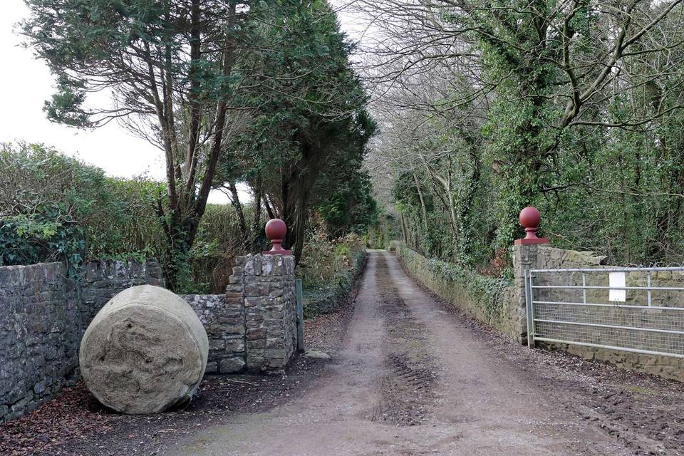
Lôn Las Cymru (South)
- 112 km
- 874 m
- Hard
- Paved
Elevation profile
- 874 m
- 112 km
Route overview
Suitable for riders prepared for a long 112 km distance with 874 m of climbing and mixed surfaces.
Ride Lôn Las Cymru (South) from Cardiff to Llandough in the Vale of Glamorgan covering 112 km with 874 m climbing.
The ride begins at Cardiff Bay and passes through a series of nearby places including Butetown, Grangetown, Cardiff City Centre, Canton, and Llandaff before reaching Coryton at 9.8 km. It continues north-west past Radyr and Tenby towards Merthyr Tydfil at around 44 km. The route includes multiple climbs, such as a 2.8 km climb starting around 13.7 km with an average gradient of 2.2%, and several other moderate climbs between 45 km and 93 km, the steepest being 8.5% maximum gradient over 2.4 km at 86 km. The highest point on route is at 435 m, reached at 62.2 km, and the lowest at 4 m early on at 0.5 km.
Highlights
- Cardiff City Centre at 2.8 km
- Merthyr Tydfil at 44.4 km
- Steepest climb 8.5% max gradient at 86 km
- Highest point 435 m at 62.2 km
Along the route
Places passed
Climbs
| Climb | Starts at | Length | Gain | Average | Max | Top |
|---|---|---|---|---|---|---|
| — | 13.7 km | 2.8 km | 62 m | 2.2 % | 4.1 % | 98 m |
| — | 45.4 km | 2.9 km | 69 m | 2.4 % | 3.8 % | 255 m |
| — | 48.7 km | 2.4 km | 53 m | 2.3 % | 2.8 % | 309 m |
| — | 52.5 km | 2.5 km | 82 m | 3.4 % | 5.4 % | 389 m |
| — | 60.5 km | 1.4 km | 53 m | 3.9 % | 6 % | 417 m |
| — | 86 km | 2.4 km | 93 m | 3.9 % | 8.5 % | 266 m |
| — | 89.8 km | 2.6 km | 61 m | 2.4 % | 9.2 % | 290 m |
What this ride is like
- Roads
- 34% minor road · 28% cycle path · 13% path · 7% track
- Main roads
- 5.8 km on main roads without a cycle lane — likely busier
- Fast roads
- 4.6 km on roads with a limit of 80 km/h or more
- Cycle paths
- 34.5 km on cycle paths or roads with a cycle lane
- Main roads used
- Taff Trail (5 km)
- Surface
- 80% paved · 17% gravel or unpaved
- Gradient
- 20% climbing · 19% descending · 61% flat
- Steep sections
- 2 km over 5% · steepest 500 m averages 6.8% at 94.8 km
- Longest descent
- 10.3 km from 65 km, dropping 281 m
Along the way
Longest stretch without a café, shop or water: 16 km, from 60 km to 76 km.
Food, water and shops
- 1.1 kmEsso · petrol station · 60 m off route
- 3.6 kmWater point · 90 m off route
- 3.9 kmHWB Bach Cafe · café · 90 m off route
- 12.5 kmFirst Light Coffee · café · on the route
- 19.2 kmThe Food Warehouse · supermarket · 90 m off route
- 23.8 kmPark View Cafe · café · 40 m off route
- 24.8 kmLondis · convenience store · on the route
- 29.4 kmTexaco · petrol station · 130 m off route
- 43.7 kmAldi · supermarket · 50 m off route
- 45.4 kmTasty Trotters · café · on the route
- 45.4 kmBoots · pharmacy · 120 m off route
- 75.5 kmDrinking water · 40 m off route
- 79.8 kmWater tap · 100 m off route
- 83 kmToilets · on the route
- 83.5 kmBiped Cycles · bike shop · 380 m off route
- 97.6 kmTalgarth Bakery · bakery · 190 m off route
- 97.9 kmTalgarth Medical Centre · clinic · 90 m off route
- 107 kmGulf · petrol station · 60 m off route
Need to bail out?
- 2.5 km — Cardiff Central (station), 220 m off route
- 13.8 km — Taffs Well (station), 50 m off route
- 22 km — Treforest (station), 370 m off route
- 32.6 km — Quakers Yard (station), 90 m off route
- 44.4 km — Merthyr Tydfil (station), 300 m off route
- 53.2 km — Pontsticill (station), 250 m off route
- 61.6 km — Torpantau (station), 110 m off route
Worth a stop
- 3.5 km — Blackfriars Friary (archaeological site)
- 12.8 km — Castell Coch (castle)
- 49.6 km — Pontsarn Viaduct (viewpoint)
At the start
- A&K General Store · convenience store · 510 m
- Channel View Water Bus Stop · ferry · 460 m
- Londis · convenience store · 660 m
- Brod · café · 690 m
- Cardiff Food Centre · supermarket · 790 m
At the finish
- Foyles of Glasbury · restaurant · 110 m
- The Paddlers Rest · café · 310 m
- River Cafe · restaurant · 560 m
- The Harp Inn · pub · 700 m
- Harp Inn · pub · 690 m
Stay after this ride
- Foyles of Glasbury · hotel · 90 m from the finish
- Aberllynfi House B&B · guest house · 500 m from the finish
- Millfield Caravan Park · campsite · 1.5 km from the finish
Practical information
- Paved
- Point to point
- 8 h 00 min
- Jun to Sep — daily highs of 18–20 °C in those months
Know before you go
- Longest stretch without café, shop or water: 15.7 km from 59.8 to 75.5 km
- 5.8 km on main roads without cycle lane
- 4.6 km on roads with speed limits 80 km/h or more
- 17% gravel or unpaved surface