Road · United Kingdom
A hilly 27 km road cycling loop from Ceidio, Gwynedd through Nefyn, Llannor and Efailnewydd, with 283 m of climbing.
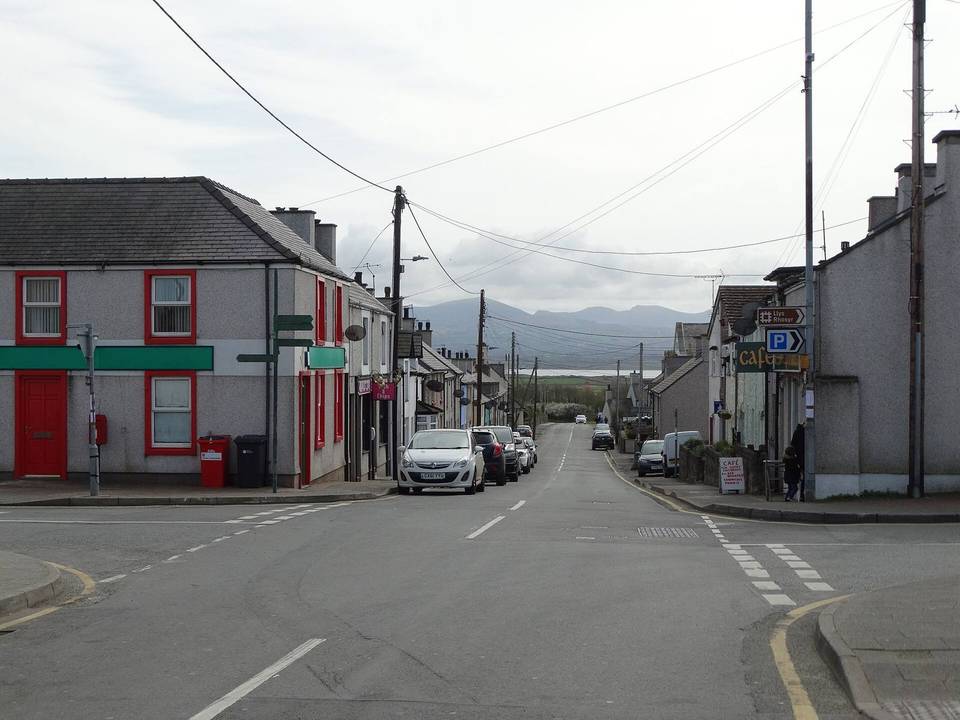
Beginning near Ceidio at 0.4 km, the route passes through Nefyn at 3.8 km where facilities include pubs, a shop, and toilets close to the road. From 3.9 km there is a 1.4 km climb gaining 95 m at an average gradient of 6.6%, reaching its highest point of 135 m at 5.3 km.
The route continues on mostly minor roads (75%), with 23% on main roads including 6.2 km without a cycle lane. It passes through Llannor, Efailnewydd, and Rhyd-y-clafdy before a longer climb of 2.3 km from 16.5 km that gains 64 m at 2.8% average. Facilities become sparse after 16.3 km with a longest stretch of 10.3 km without cafes, shops, or water. Moelypenmaen peak lies 340 m off-route at 7.9 km and Garn Boduan at 5 km. The route’s descent sections include a 2.3 km longest descent starting at 8.1 km dropping 64 m.
The surface is fully paved with no gravel sections. Key named roads include the B4415 ridden for 4.6 km. The route’s elevations range from 11 m to 135 m, providing moderate climbing and descending experience.
| Climb | Starts at | On this ride | Top on this ride |
|---|---|---|---|
| Unnamed climb | 3.9 km | 1.4 km · 95 m · 6.6 % · max 10.2 % | 135 m |
| Unnamed climb | 16.5 km | 2.3 km · 64 m · 2.8 % · max 4.3 % | 80 m |
Expect stretches on main roads without a cycle lane (6.2 km in all) between quieter sections.
No stretch is longer than 15 km without a café, shop or water. Along the route: 5 cafés and restaurants, 3 shops and 1 public toilet.