Cyclists.com

Regional Cycle Route 42

Tudweiliog, Gwynedd, United KingdomRoad

Signed route The waymarked Regional Cycle Route 42 (regional route), traced from OpenStreetMap and measured against the terrain model; no member has recorded it yet. Ridden it? Add your recording and photos.

43 km
Distance
431 m
Elevation gain
Moderate
Difficulty
Paved
Surface
Download GPXMap

Elevation profile

Total ascent
431 m
Distance
43 km
050100150200m0 km10203043 km158 m · highest, at 28.3 kmStartFinish · back at the start

Route overview

Suitable for cyclists prepared for moderate climbing and a 43 km distance.

Regional Cycle Route 42 is a 43 km loop in Gwynedd, UK, starting and ending at Tudweiliog, with 431 m of climbing.

Starting at Tudweiliog, the route passes nearby Rhôs-y-llan at 1.1 km and Towyn at 1.8 km where a café and toilets are available off-route. It continues northwest to Sarn Mellteyrn at 8.1 km, near a pub, convenience store and petrol station. From here to Llanengan at 20.7 km there are no cafés, shops or water for 12.6 km, marking the longest service-free stretch. The route follows mainly paved minor roads (87%), with 4.4 km on main roads that lack cycle lanes and have posted speeds of 80 km/h or more. There are three main climbs. The first near Sarn Mellteyrn (8.3 km) rises 48 m at 3.9% average gradient. After Abersoch at 22.9 km, a longer 4 km climb gains 137 m at 3.4%. A final climb from Rhyd-y-clafdy at 32.1 km is 2.5 km long, gaining 64 m at 2.6%. The highest point is 157 m near 28 km, with the longest descent of 3.5 km dropping 135 m shortly after. Along the route are pubs and cafés off-route near Towyn, Sarn Mellteyrn, Abersoch and Rhyd-y-clafdy. Toilets are also available near these locations. The cycle path is a loop, mostly on minor roads with gentle climbs beneath peaks like Mynydd Cefnamlwch, Foel Meyllteyrn and Foel Gron.

Highlights

  • Highest point at 157 m near 28 km
  • Longest descent 3.5 km dropping 135 m
  • Café and toilets at Towyn (1.8 km)
  • Pub and shop near Sarn Mellteyrn (8.1 km)

Along the route

Measured from the recorded track and OpenStreetMap.

Places passed

  1. Sarn Mellteyrn 8.1 km
  2. Botwnnog 12.4 km
  3. Llandegwning 13.5 km
  4. Llanengan 20.7 km
  5. Abersoch 22.9 km
  6. Llangïan 25.1 km
  7. Mynytho 26.9 km
  8. Rhyd-y-clafdy 32.4 km
  9. Dinas 38.7 km

Climbs

ClimbStarts atLengthGainAverageMaxTop
8.3 km1.2 km48 m3.9 %6.3 %85 m
23.3 km4 km137 m3.4 %7.7 %146 m
32.1 km2.5 km64 m2.6 %4.9 %80 m

High point 157 m at 28 km; low point 5 m. Passes beneath Mynydd Cefnamlwch, Foel Meyllteyrn, Bryn Llanengan.

What this ride is like

Measured from OpenStreetMap along the track and the elevation profile.

Roads
87% minor road · 10% main road · 3% quiet street
Main roads
4.4 km on main roads without a cycle lane — likely busier
Fast roads
4.4 km on roads with a limit of 80 km/h or more
Surface
Paved throughout
Gradient
28% climbing · 22% descending · 49% flat
Steep sections
1.2 km over 5% · steepest 500 m averages 7.2% at 26.9 km
Longest descent
3.5 km from 28.4 km, dropping 135 m

Along the way

Within a few hundred metres of the track, from OpenStreetMap. Opening hours change — treat this as where to look, not a promise.

Food, water and shops

  1. 1.8 kmCwt Tatws · café · on the route
  2. 1.8 kmToilets · 70 m off route
  3. 8.1 kmTafarn Pen-y-bont · pub · 90 m off route
  4. 8.1 kmGarej Ni · convenience store · 40 m off route
  5. 23.1 kmTwo Island · café · 80 m off route
  6. 23.1 kmTalafon Cyf (Londis) · convenience store · 60 m off route
  7. 23.1 kmToilets · on the route
  8. 23.1 kmBFL · petrol station · 60 m off route
  9. 23.1 kmRowlands Pharmacy · pharmacy · 90 m off route
  10. 27.2 kmToilets · on the route
  11. 32.3 kmTu Hwnt I'R Afon · pub · 210 m off route

Worth a stop

  • 5.7 kmCoetan Arthur (archaeological site)
  • 23.5 kmAberuchaf Craft Centre (attraction)
  • 27.2 kmFoel Gron (peak, 170 m)

At the start and finish

  • Lion Hotel · pub · 110 m
  • Cwt Tatws · café · 880 m

Practical information

Surface
Paved
Route shape
Loop
Riding time
3 h 05 min
Best months
Jun to Sep — daily highs of 17–18 °C in those months

Know before you go

  • 12.6 km with no café, shop or water between 8.1 km and 20.7 km
  • 4.4 km on main roads without cycle lane
  • 4.4 km on roads with posted speed limits of 80 km/h or more

Routes are for inspiration. Roads, surfaces and conditions change — check locally and ride within your limits.

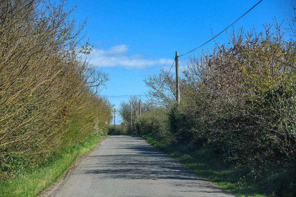
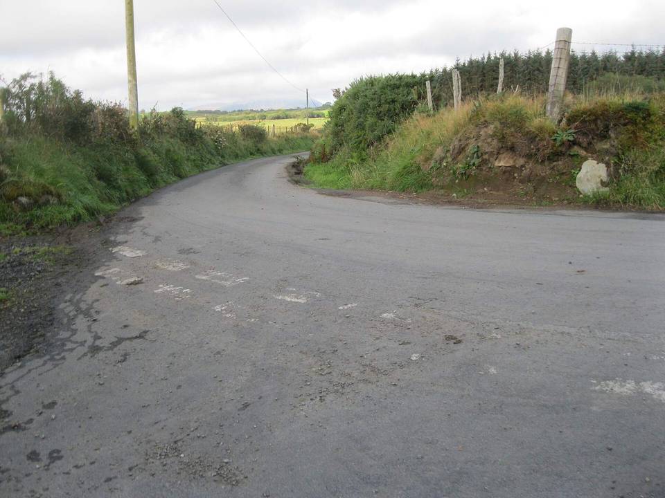
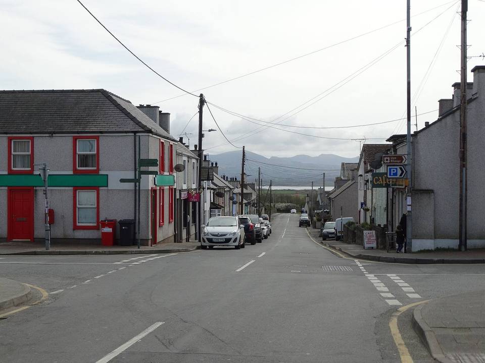
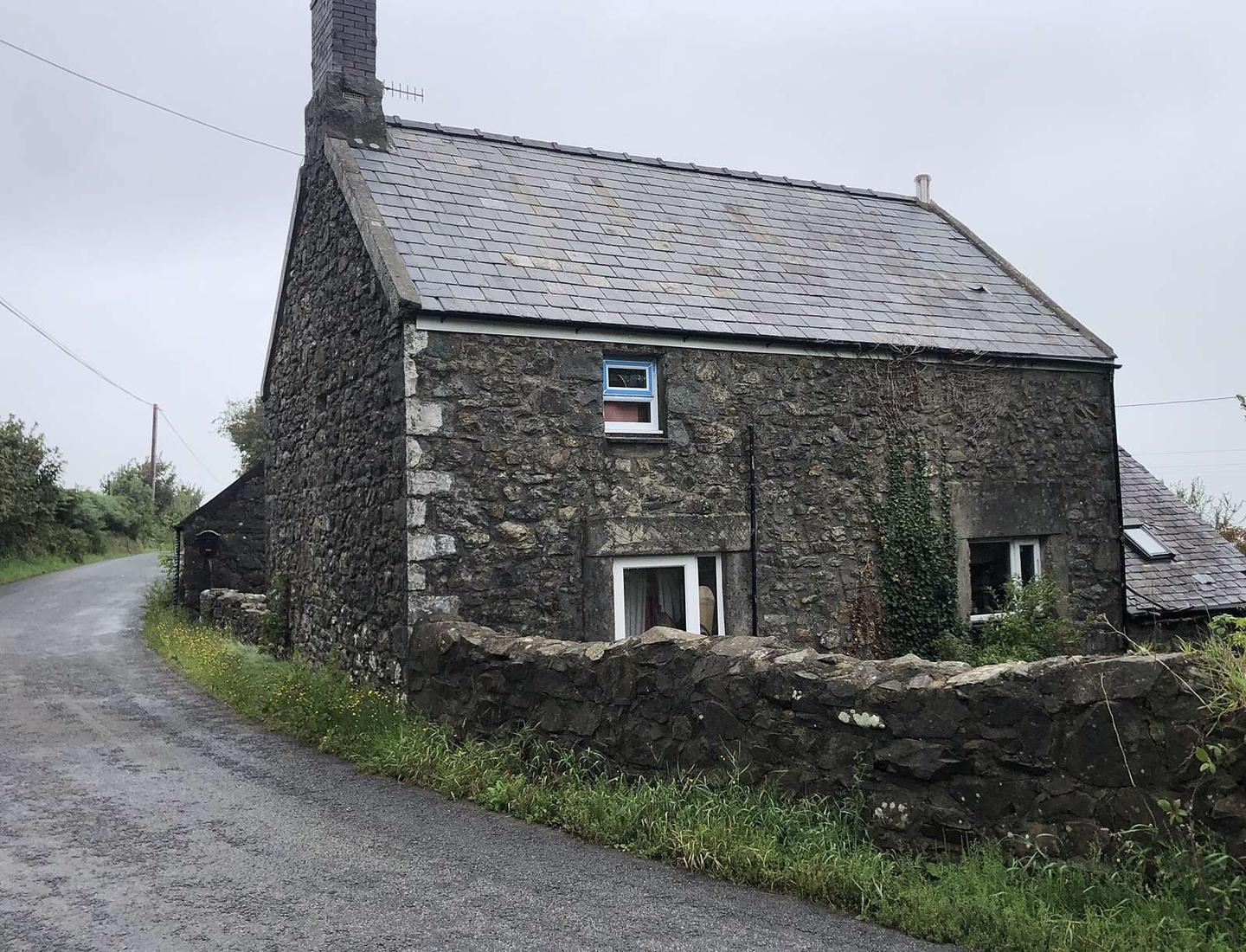
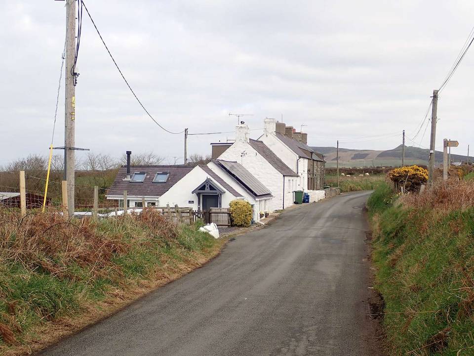
2 photographs from the road

Photo: Chris Leather · CC BY-SA 2.0 · Wikimedia Commons · Photo: Eirian Evans · CC BY-SA 2.0 · Wikimedia Commons · Photo: Tom Parnell from Scottish Borders, Scotland · CC BY-SA 2.0 · Wikimedia Commons