Road · United Kingdom
A hilly 30 km road cycling loop from Porth Ychain, Gwynedd through Sarn Mellteyrn, Blawdty and Aberdaron, with 304 m of climbing.
Starting near Porth Ychain at 2.5 km, the route heads north to Sarn Mellteyrn at 8.7 km. From here the main climb begins at 8.9 km, lasting 3.3 km with an average gradient of 4.5% and a gain of 147 m, reaching the highest point of 183 m at 12.2 km beneath Mynydd Rhiw. The descent starts around 15.9 km and continues for 2.8 km dropping 78 m, followed by some flatter sections.
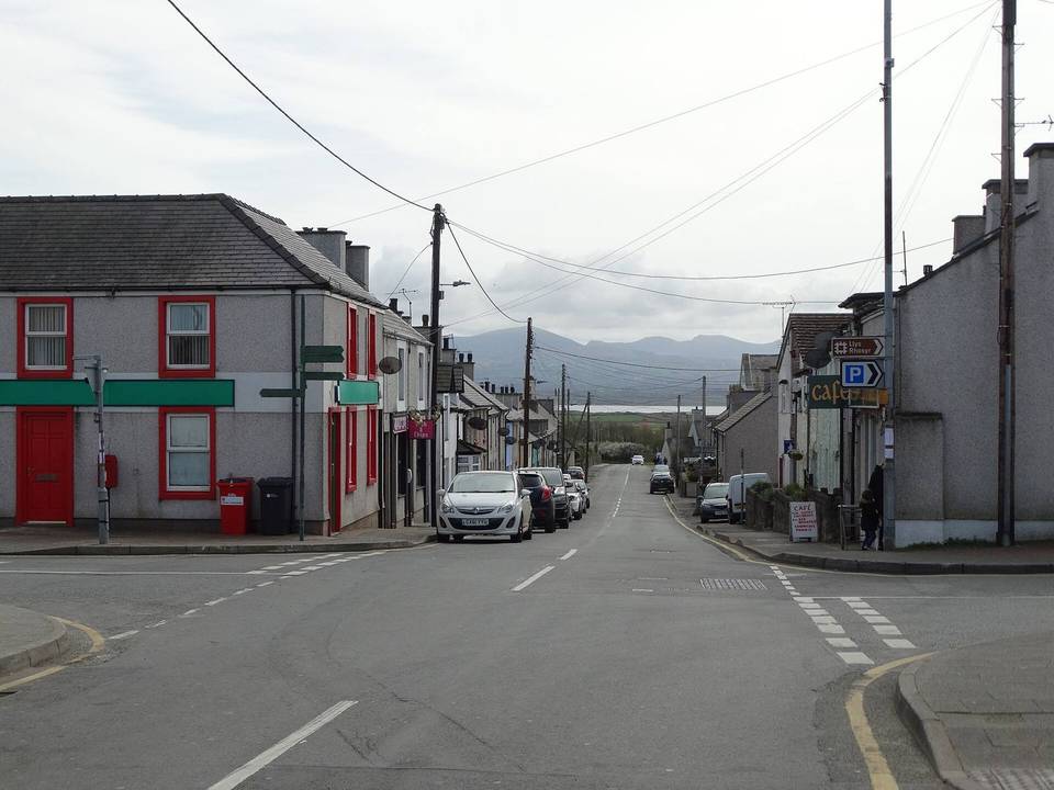
The surface is almost all paved (98%) on mostly minor roads (91%) with 1.9 km on main roads without cycle lanes and 2.6 km on roads posted 80 km/h or more. There is a 10.1 km stretch between 8.7 km and 18.8 km without cafés, shops or water. Facilities include a pub and convenience store near Sarn Mellteyrn (8.7 km), café and toilets near 21 km, and bike repair stand in Aberdaron at 18.9 km. The loop passes through Blawdty, Aberdaron, Trefgraig, and Pen-y-graig before returning to Porth Ychain.
| Climb | Starts at | On this ride | Top on this ride |
|---|---|---|---|
| Unnamed climb | 8.9 km | 3.3 km · 147 m · 4.5 % · max 6.4 % | 183 m |
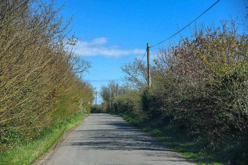
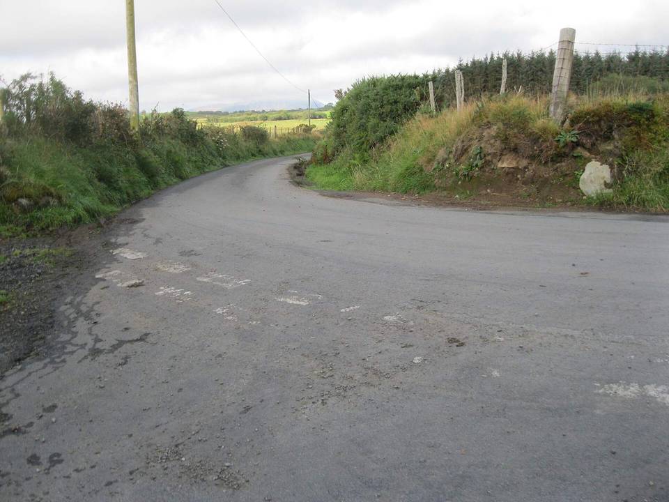
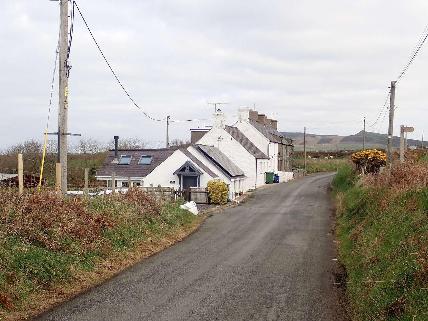
Mostly minor roads and streets on the map; 1.9 km is on main roads without a cycle lane.
No stretch is longer than 15 km without a café, shop or water. Along the route: 10 cafés and restaurants, 2 shops, 1 petrol station, 4 public toilets and 1 bike shop.