Road · United Arab Emirates
Al Dafain Loop via Mahafiz - Al Fayah Road
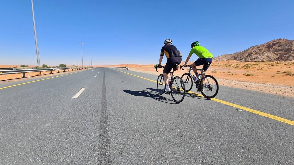
A flat 65 km road cycling loop from Nazwa, Sharjah through Al Dafain, Al Fayah and Mahafiz, with 123 m of climbing. Most of it (62 km) is on main roads without a cycle lane, 27.9 km where the limit is 80 km/h or more. There is a 32 km stretch without a café, shop or water (km 32–64).
At a glance
- Best for
- Flat, steady riding for confident riders at ease in traffic
- Distance
- 64.6 km
- Elevation gain
- 123 m
- Riding time
- 2½–3 hours
- Difficulty
- Moderate
- Bike
- Road bike
- Surface
- Paved
- Traffic
- Mostly main roads
- Food & water
- Longest gap 32 km
- Best months
- Dec to Feb
- Navigation
- GPX download
- Start and finish
- Nazwa
Map and elevation profile
Elevation profile
- 123 m
- 65 km
Route description
- Nazwa
- Al Dafain
- Al Fayah
- Mahafiz
- Nazwa
This 64.6 km loop starts and finishes at Nazwa in the Hajar Mountains, reaching a highest point of 180 m at 11 km and dropping to a low of 129 m near 45.7 km. The ride passes through Al Dafain at 21.5 km, Al Fayah at 32.2 km, and Mahafiz at 45.3 km. The profile is predominantly flat, with 93% flat terrain and minimal steep sections.
Why ride this route?
- The shortest of the 5 rides from Nazwa.
Highlights
- Passes Al Dafain at 21.5 km
- Highest point 180 m at 11 km
- Longest named road Mahafiz - Al Fayah Road
- Near peak Qarn Nazwa at 64.2 km
Along the route
Places passed
Traffic, surface and gradient
This is not a cycle-track route: 96% is on main roads without a cycle lane, 27.9 km of it where the limit is 80 km/h or more. Riders should be comfortable sharing the road with faster traffic.
- Roads
- 84% main road · 13% major road · 2% quiet street · 1% other roads and tracks
- Main roads
- 62 km on main roads without a cycle lane — likely busier
- Fast roads
- 27.9 km on roads with a limit of 80 km/h or more
- Main roads used
- Mahafiz - Al Fayah Road (15 km), Al Dhaid-Maliha Road (5 km)
- Surface
- Paved: 99% of the route is mapped as paved.
- Gradient
- 4% climbing · 3% descending · 93% flat
Food, water and services
The longest stretch without a café, shop or water is 32 km, from km 32 to 64. Along the route: 6 cafés and restaurants, 4 shops and 1 petrol station.
Food, water and shops in ride order
- 0.1 kmAbdulla Al Kabi Cafétéria · restaurant · 170 m off route
- 0.1 kmDesert Mountain Supermarket · supermarket · 170 m off route
- 11.8 km2 December Cafeteria · café · 40 m off route
- 23.9 kmADNOC · petrol station · 50 m off route
- 32.2 kmMavia Al Faya · restaurant · 40 m off route
- 63.9 kmNazwa Valley Grocery · supermarket · 180 m off route
- 64.2 kmAl Fareed Restaurant · restaurant · 170 m off route
Start and access
At the start and finish
- Food and coffee
- Abdulla Al Kabi Cafétéria (210 m), Nazwa Oiasis Restaurant (210 m)
- Shops
- Desert Mountain Supermarket (210 m), Nazwa Valley Grocery (210 m)
Know before you go
- Longest stretch without café, shop or water 31.7 km from 32.2 to 63.9 km
- 62 km on main roads without cycle lanes
- 27.9 km on roads with 80 km/h+ speed limits