National Cycle Route 1: Innerleithen to Edinburgh
- 37 km
- 93 m
- Easy
- Paved
Elevation profile
- 93 m
- 37 km
Route overview
Suitable for riders looking for a mostly flat 36.5 km route with moderate climbing and mixed surfaces.
National Cycle Route 1 runs 36.5 km from Innerleithen to Edinburgh through Midlothian, UK.
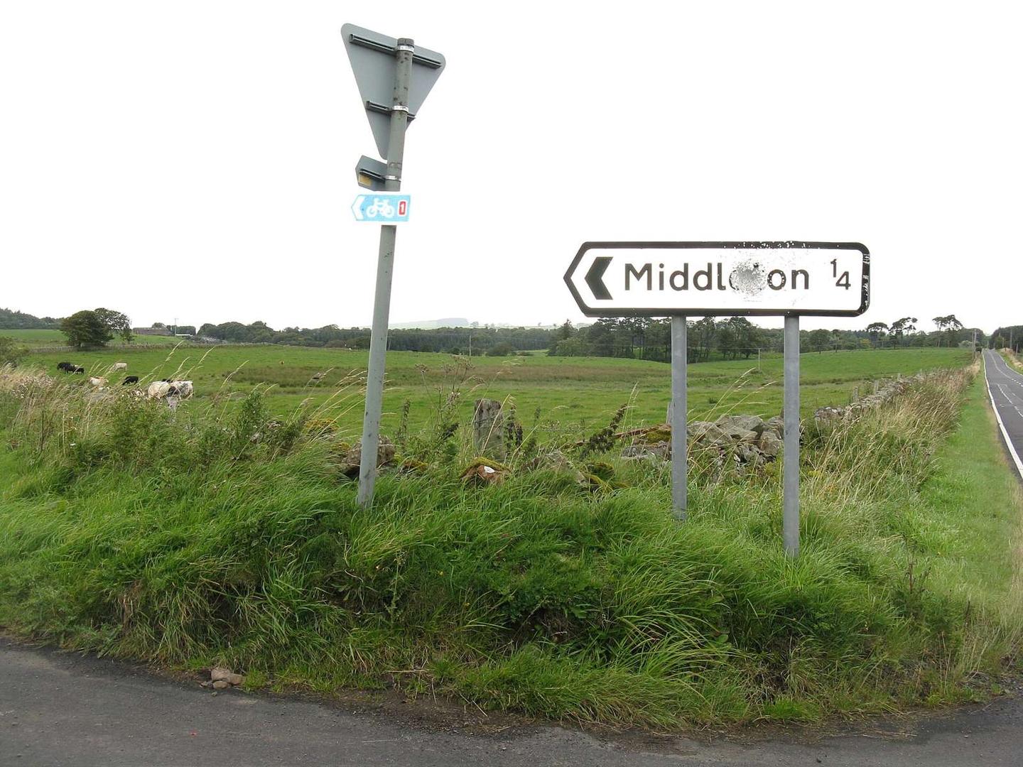
This 36.5 km point-to-point route starts at Innerleithen and ends in Edinburgh, passing through 32 named places including North Middleton at 2 km, Newtongrange at 13.1 km, Bonnyrigg at 14.4 km, Dalkeith at 18.4 km, Musselburgh at 25.2 km, and Craigmillar at 31.5 km. The highest point is at the start at 268 m and the lowest point is at 24.6 km at 17 m, with a total elevation gain of 93 m, primarily in the first half. The profile is mostly flat with some gentle descents and very short steep gradients. Surface is 99% paved, with minor gravel/unpaved sections. The route comprises 39% cycle path, 36% minor road, 11% quiet street, 8% main road, 3% road with cycle lane, and 3% path. There are 2.8 km on main roads without cycle lanes and 10.9 km on roads with speed limits of 80 km/h or more. The longest named roads are not specified. For amenities, there are cafés, shops, bike repair stands and shops, water, toilets, petrol stations and many bailout points including train stations at Eskbank (16 km), Newcraighall (27.5 km), and Edinburgh Waverley (36 km). Food and drink options include Starbucks near 15.6 km, Mercat Grill at 22.9 km, and Costa at 29 km. The longest stretch with no café, shop or water is 13.5 km from the start to 13.5 km.
Highlights
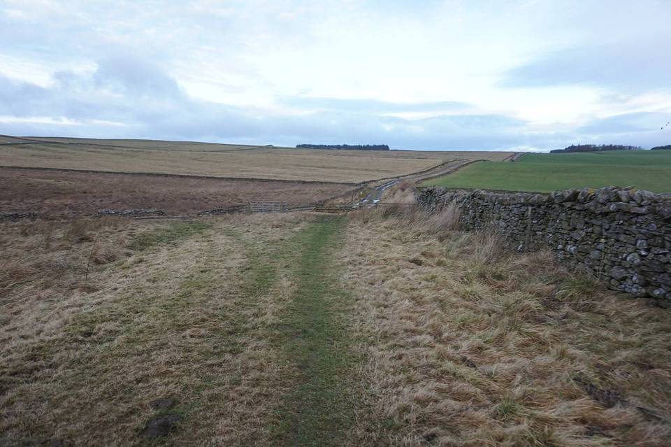
- Beneath Hurcheon Hill at 2.5 km
- Beneath Arthur's Seat at 33 km
- Cycle path makes up 39% of route
- Train stations at Eskbank and Edinburgh Waverley
Along the route
Places passed
What this ride is like
- Roads
- 39% cycle path · 36% minor road · 11% quiet street · 8% main road
- Main roads
- 2.8 km on main roads without a cycle lane — likely busier
- Fast roads
- 10.9 km on roads with a limit of 80 km/h or more
- Cycle paths
- 15.2 km on cycle paths or roads with a cycle lane
- Surface
- Paved throughout
- Gradient
- 5% climbing · 23% descending · 71% flat
Along the way
Food, water and shops
- 14.3 kmConvenience store · 50 m off route
- 15.3 kmMidlothian Community Hospital · hospital · 190 m off route
- 15.6 kmStarbucks · café · 50 m off route
- 15.6 kmTesco · petrol station · 170 m off route
- 16.1 kmRepair stand · on the route
- 19.7 kmAldi · supermarket · 50 m off route
- 22.9 kmMercat Grill · pub · on the route
- 26.2 kmRepair stand · 90 m off route
- 29 kmCosta · café · 70 m off route
- 29.1 kmAsda · supermarket · 230 m off route
- 33 kmWells o' Wearie · spring · 60 m off route
- 34.6 kmToilets · on the route
- 35.1 kmUplands Roast Coffee · café · on the route
- 35.5 kmPremier · convenience store · on the route
- 35.5 kmMackenzie & Co. Chemists · pharmacy · on the route
- 35.7 kmWee Spoke Hub · bike shop · 210 m off route
- 36 kmTop Up Tap · drinking water · 180 m off route
Need to bail out?
- 16 km — Eskbank (station), on the route
- 27.5 km — Newcraighall (station), 40 m off route
- 36 km — Edinburgh Waverley (station), 310 m off route
Worth a stop
- 3.7 km — Eperston Lime Works (archaeological site)
- 32.2 km — The Physic Garden (attraction)
- 35.6 km — Greyfriars Bobby (attraction)
At the finish
- Deacon's House Cafe · café · 40 m
- Blank Street Coffee · café · 90 m
- Deacon Brodie's Tavern · pub · 20 m
- PizzaExpress · restaurant · 70 m
- Wash Bar · pub · 90 m
Stay after this ride
- Radisson Collection Royal Mile Edinburgh · hotel · 40 m from the finish
- Gladstone’s Land Apartments · apartment · 70 m from the finish
- Royal Mile Apartments · hotel · 70 m from the finish
- Virgin Hotels Edinburgh · hotel · 110 m from the finish
- Fraser Suites Edinburgh · hotel · 80 m from the finish
Practical information
- Paved
- Point to point
- 2 h 36 min
- Jun to Aug — daily highs of 16–18 °C in those months
Know before you go
- Longest stretch without café, shop or water: 13.5 km
- 2.8 km on main roads without cycle lane
- 10.9 km on roads 80 km/h or more
- Short steep gradients over 10% for 0.1 km