Cyclists.com

National Cycle Route 196

Penicuik, Midlothian, United KingdomMixed

Signed route The waymarked National Cycle Route 196 (Walk Wheel Cycle Trust), traced from OpenStreetMap and measured against the terrain model; no member has recorded it yet. Ridden it? Add your recording and photos.

39 km
Distance
164 m
Elevation gain
Easy
Difficulty
Mixed
Surface
Download GPXMap

Elevation profile

Total ascent
164 m
Distance
39 km
050100150200m0 km10203039 km172 m · highest, at 0.0 kmStartFinish

Route overview

Suitable for riders prepared for a moderate 38.6 km with mixed surfaces and some climbing.

National Cycle Route 196 is a 38.6 km route in Midlothian, UK, mostly on cycle paths with moderate elevation.

Starting at Broomhill near Penicuik, the route passes through several places including Kirkhill, Ladywood, Mauricewood, Auchendinny, and Rosewell. The ride continues onward to Polton, Hopefield, Bonnyrigg, and Newbattle before reaching Eskbank and Dalkeith, descending to the lowest point at 45 m at 14.4 km. From Dalkeith, the route includes a notable climb starting at 17.5 km lasting 2.4 km with an elevation gain of 51 m and an average gradient of 2.2%, reaching a top height of 104 m. Beyond the climb, the route goes past Woodburn, Crossgatehall, Springfield Cottages, Cousland, and Ormiston. Then it continues through Pencaitland Railway Walk along cycle paths for 9.2 km, passing Pencaitland and Lempockwells, before finishing at East Saltoun. The route comprises mainly paved surfaces (64%) with 27% gravel or unpaved. It includes 23.7 km on cycle paths and lanes, 8.8 km on minor roads, plus short sections on quiet streets, paths, and 0.7 km on main roads. Facilities include cafés at the start near Penicuik, a Starbucks and fast food at about 11.6-15.7 km, and cafés near 27 and 32.7 km. Convenience stores, a supermarket, and bike repair stands are also available, with a bail-out station at Eskbank.

Highlights

  • Climb of 51 m over 2.4 km from 17.5 km
  • Pencaitland Railway Walk for 9.2 km
  • Longest descent of 3.9 km down from 7.6 km
  • Start near Penicuik at 172 m elevation

Along the route

Measured from the recorded track and OpenStreetMap.

Places passed

  1. Mauricewood 2.4 km
  2. Auchendinny 3.2 km
  3. Rosewell 6.9 km
  4. Polton 9 km
  5. Hopefield 9.7 km
  6. Bonnyrigg 10.3 km
  7. Newbattle 12.4 km
  8. Eskbank 12.9 km
  9. Dalkeith 14.5 km
  10. Woodburn 15.6 km
  11. Crossgatehall 19.6 km
  12. Springfield Cottages 19.6 km
  13. Cousland 20.4 km
  14. Ormiston 24.5 km
  15. Pencaitland 27.6 km
  16. Lempockwells 29 km
  17. West Saltoun 31.2 km
  18. East Saltoun 32.7 km

Climbs

ClimbStarts atLengthGainAverageMaxTop
17.5 km2.4 km51 m2.2 %4.7 %104 m

High point 172 m at 0 km; low point 45 m.

What this ride is like

Measured from OpenStreetMap along the track and the elevation profile.

Roads
62% cycle path · 23% minor road · 9% quiet street · 3% path
Fast roads
5.4 km on roads with a limit of 80 km/h or more
Cycle paths
23.7 km on cycle paths or roads with a cycle lane
Main roads used
Pencaitland Railway Walk (9 km)
Surface
64% paved · 27% gravel or unpaved
Gradient
13% climbing · 24% descending · 63% flat
Longest descent
3.9 km from 7.6 km, dropping 74 m

Along the way

Within a few hundred metres of the track, from OpenStreetMap. Opening hours change — treat this as where to look, not a promise.

Food, water and shops

  1. 0.1 kmGravity Bottleshop · café · 210 m off route
  2. 0.1 kmNewsboyz · convenience store · 190 m off route
  3. 0.2 kmRepair stand · 300 m off route
  4. 0.2 kmRowlands Pharmacy · pharmacy · 380 m off route
  5. 10.3 kmConvenience store · 30 m off route
  6. 11.4 kmMidlothian Community Hospital · hospital · 170 m off route
  7. 11.6 kmStarbucks · café · 50 m off route
  8. 11.7 kmTesco · petrol station · 170 m off route
  9. 15.6 kmRepair stand · on the route
  10. 15.7 kmBene's · fast food · 40 m off route
  11. 15.9 kmAldi · supermarket · 50 m off route
  12. 27 kmRosearista Coffee Shop · café · 50 m off route
  13. 32.7 kmThe Bothy · café · 160 m off route
  14. 32.7 kmThe Village Store · convenience store · 160 m off route

Need to bail out?

  • 12 kmEskbank (station), on the route

Whether bikes are carried depends on the service — check before relying on it.

Worth a stop

  • 0.2 kmUttershill Castle (castle)
  • 3.7 kmOldwoodhouselee Castle (castle)

At the start

  • Han's Sweets'N'Eats · café · 240 m
  • Gravity Bottleshop · café · 250 m
  • Newsboyz · convenience store · 200 m
  • The Old Crown Inn · pub · 260 m
  • Corfu Kebab House · fast food · 200 m

Stay after this ride

  • Maitlandfield House Hotel · hotel · 2.2 km from the finish
  • Railway Hotel · hotel · 2.2 km from the finish
  • The Golf Tavern · hotel · 2.6 km from the finish

Practical information

Surface
Mixed
Route shape
Point to point
Riding time
2 h 45 min
Best months
Jun to Aug — daily highs of 16–17 °C in those months

Know before you go

  • 5.4 km on fast roads with 80 km/h+ limits
  • Longest stretch without café or shop for 11.1 km from 15.9 km to 27 km
  • 0.7 km on main roads without a cycle lane
  • 27% gravel or unpaved surfaces

Routes are for inspiration. Roads, surfaces and conditions change — check locally and ride within your limits.

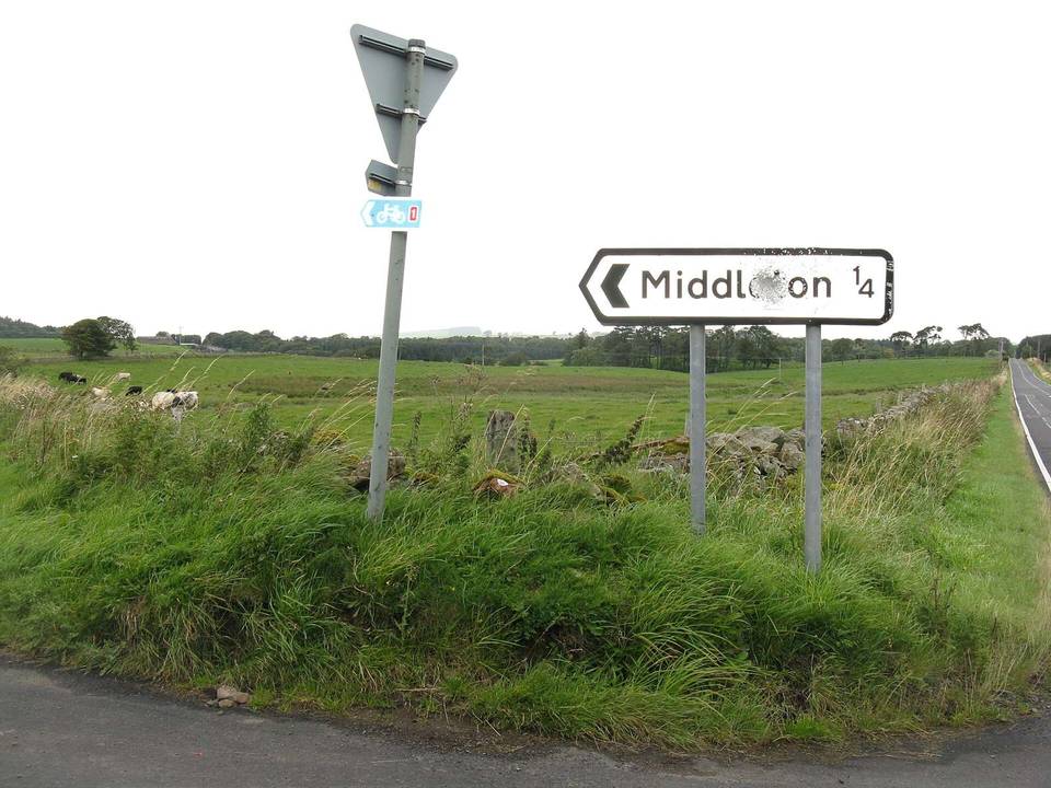
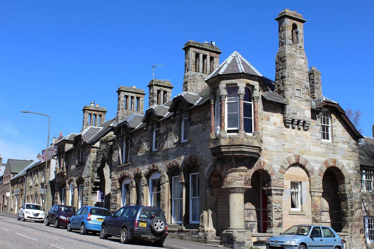
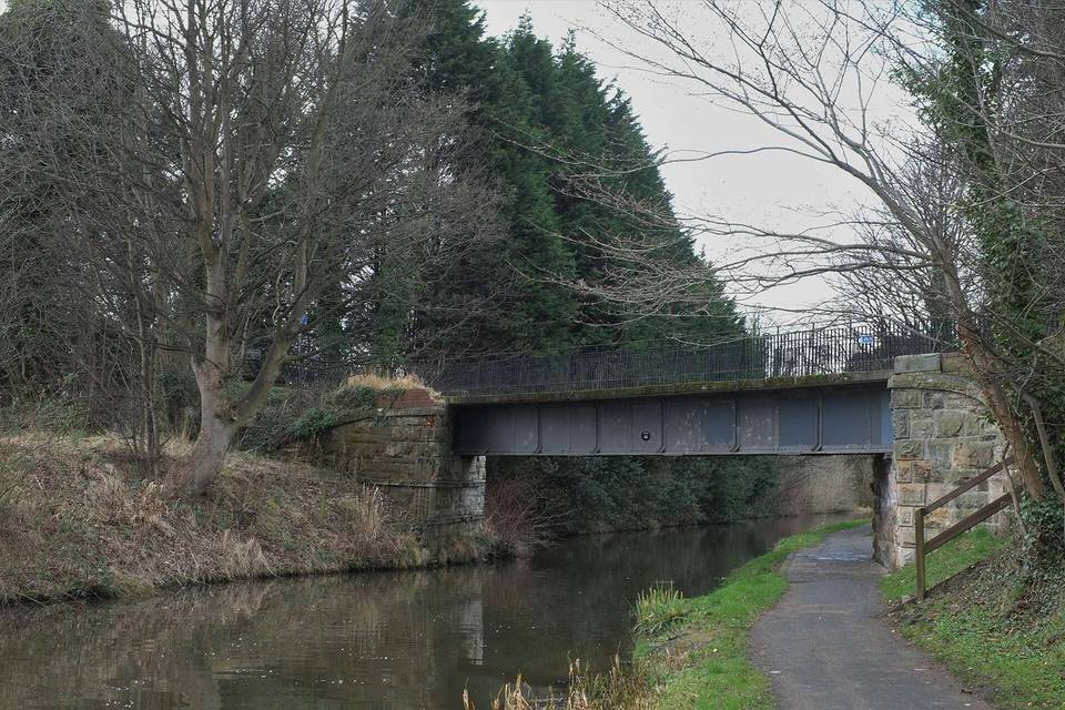
2 photographs from the road

Photo: Leslie Barrie · CC BY-SA 2.0 · Wikimedia Commons · Photo: M Hatton · CC BY-SA 2.0 · Wikimedia Commons · Photo: Richard Webb · CC BY-SA 2.0 · Wikimedia Commons