Cyclists.com

Cap de Formentor from Port de Pollença

Port de Pollença, Mallorca, SpainRoad

Routed from the map This classic road was traced on OpenStreetMap and measured against the terrain model; no member has recorded it yet. Ridden it? Add your recording and photos.

15 km
Distance
422 m
Elevation gain
Easy
Difficulty
Paved
Surface

Elevation profile

Total ascent
422 m
Distance
15 km
Elevation (m)0501001502002500 km5 km10 km15 kmHighest point226 m at 14.1 kmStart0 kmFinish15 km

Route overview

Suitable for riders comfortable with moderate distance and climbing up to 422 m over 14.8 km.

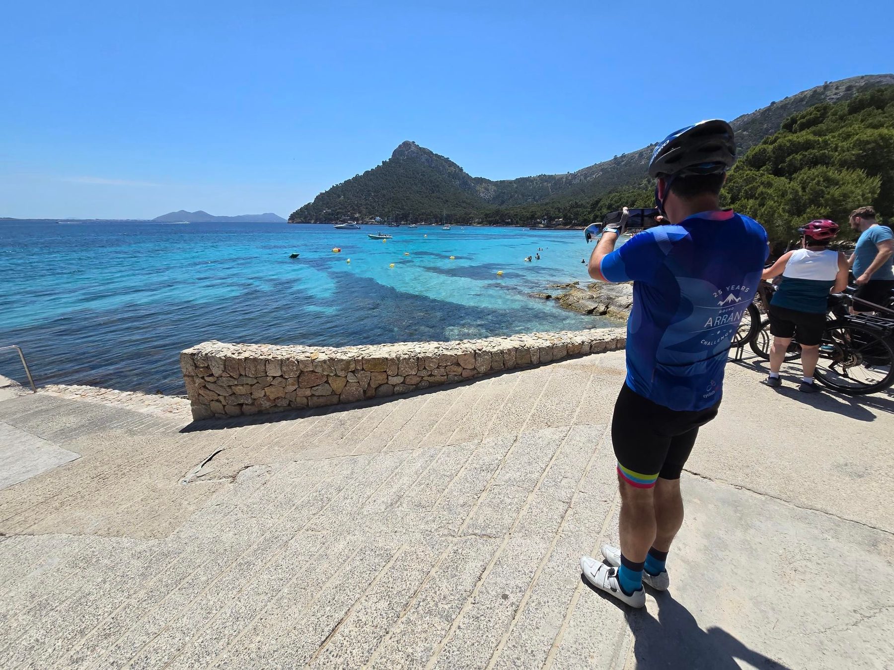
A 14.8 km ride from Port de Pollença to Cap de Formentor in Spain, climbing 422 m.

Starting at Port de Pollença at 3 m elevation, the route heads out on the Ma-2210 mostly minor road with 86% paved surface and a 14% gravel path section. The initial climb begins at km 1.8, climbing 190 m over 3.4 km at an average gradient of 5.6% with a max of 7.9%, reaching 202 m. The route features a total elevation gain of 422 m with 57% climbing segments, 21% descending, and 22% flat. A shorter climb from km 8 to 9.3 gains 41 m at 3.2% average. The last climb starts at km 11.8, ascending 141 m over 2.3 km with an average gradient of 6.1% and max of 12.1%, finishing at 226 m at km 14.1. The longest descent covers 2.6 km from km 5.2. The route includes cafes, shops and bike support near the start but has a 6.8 km stretch without café, shop, or water between km 7.9 and 14.7. A ferry bailout option is available at km 7.9. Facilities at the start in Port de Pollença include a Spar supermarket, bike shop, multiple cafés and restaurants, and ice cream. Toilets are available at km 1.7 and 7.9. The route is a point-to-point ride on mostly minor roads and some paths, with named road Ma-2210 for 12.1 km.

Highlights

  • Cap de Formentor finish at 226 m
  • First climb: 3.4 km at 5.6%
  • 6.8 km without cafe or water after km 7.9
  • Longest descent 2.6 km from km 5.2

Along the route

Measured from the recorded track and OpenStreetMap.

Climbs

ClimbStarts atLengthGainAverageMaxTop
Alcudia climb1.8 km3.4 km190 m5.6 %7.9 %202 m
8 km1.3 km41 m3.2 %4 %56 m
11.8 km2.3 km141 m6.1 %12.1 %226 m

High point 226 m at 14.1 km; low point 3 m.

Alcudia climb · starts at 1.8 km

3.4 km at 5.6% · 190 m
50100150200ELEVATION (M)6.9%6.3%0 km123.3 kmDISTANCE (KM)Alcudia climb · 202 mSTEEPEST 6.9%
< 4%4 – 7%7 – 10%> 10%

What this ride is like

Measured from OpenStreetMap along the track and the elevation profile.

Roads
82% minor road · 14% path · 4% quiet street
Main roads used
Ma-2210 (12 km)
Surface
86% paved · 14% gravel or unpaved
Gradient
57% climbing · 21% descending · 22% flat
Steep sections
3.5 km over 5% · 1 km over 8% · 0.4 km over 10% · steepest 500 m averages 11.7% at 12.2 km
Longest descent
2.6 km from 5.2 km, dropping 182 m

Along the way

Within a few hundred metres of the track, from OpenStreetMap. Opening hours change — treat this as where to look, not a promise.

Food, water and shops

  1. 0 kmSpar · supermarket · on the route
  2. 0 kmBike island · bike shop · 130 m off route
  3. 0 kmAmbulatori · clinic · 280 m off route
  4. 0.5 kmHolibikes Tours & Coffee · café · on the route
  5. 1.7 kmToilets · 40 m off route
  6. 5.1 kmKiosk · on the route
  7. 7.9 kmFormentor · bar · 190 m off route
  8. 7.9 kmToilets · 180 m off route

Need to bail out?

  • 7.9 kmFerry, 250 m off route

Whether bikes are carried depends on the service — check before relying on it.

Worth a stop

  • 8.5 kmel Putxet (peak, 77 m)

At the start

  • Spar · supermarket · 40 m
  • Cappuccino · café · 170 m
  • Cappuccino Grand Cafe · café · 150 m
  • Ambrosia · restaurant · 50 m
  • Bella Vita · ice cream · 80 m

Stay after this ride

  • Formentor · hotel · 3.8 km from the finish

Practical information

Surface
Paved
Route shape
Point to point
Riding time
1 h 03 min

Know before you go

  • 6.8 km with no café, shop or water from km 7.9 to 14.7
  • 14% gravel surface
  • Max gradient 12.1% over last climb
  • 1 km on main roads with 80 km/h+ speed limit

Routes are for inspiration. Roads, surfaces and conditions change — check locally and ride within your limits.

More rides from Port de Pollença