Cyclists.com

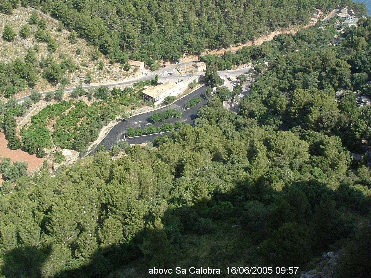
Sa Calobra from Port de Sa Calobra

Port de Sa Calobra, SpainRoad

Routed from the map This classic road was traced on OpenStreetMap and measured against the terrain model; no member has recorded it yet. Ridden it? Add your recording and photos.

10 km
Distance
677 m
Elevation gain
Easy
Difficulty
Paved
Surface

Elevation profile

Total ascent
677 m
Distance
10 km
Elevation (m)02004006008000 km2.5 km5 km7.5 km10 kmHighest point721 m at 10.1 kmStart0 kmFinish10 km

Route overview

Cyclists suited to a steep 10 km climb with sustained gradients.

10.1 km climb from Sa Calobra to Port de Sa Calobra in Spain with 677 m elevation gain.

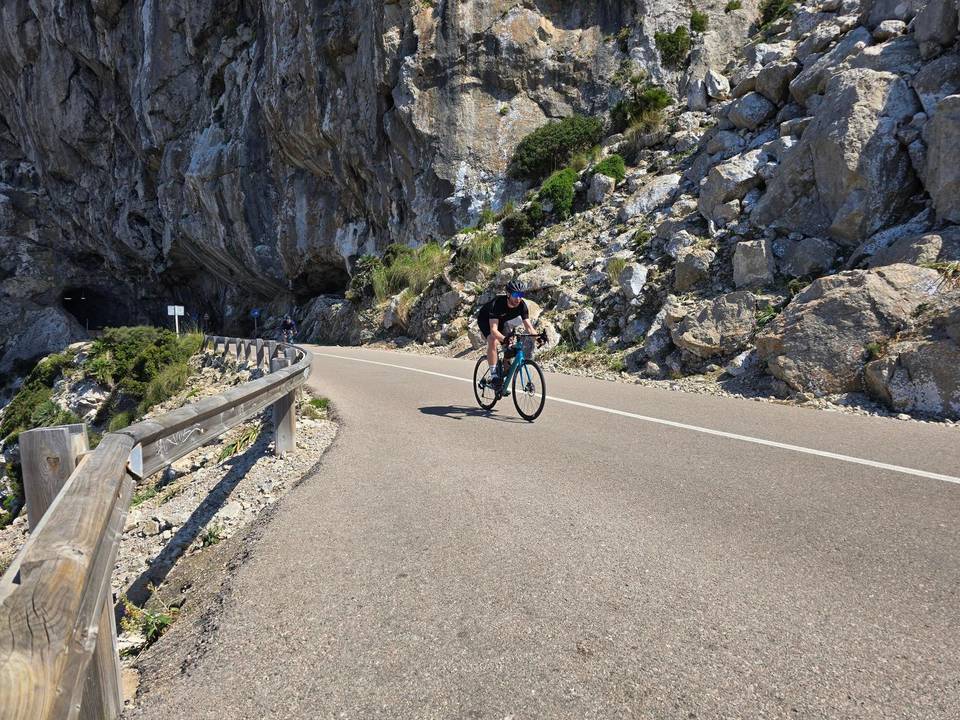
This route starts at Sa Calobra near the ferry point and ascends 677 m over 10.1 km to reach Port de Sa Calobra at 720 m. Most of the climbing (59%) occurs in the first half of the route. It follows mainly minor roads, with 9.9 km ridden on this class and 9.5 km on the Ma-2141. The road surface is predominantly paved (97%), with just 3% gravel or unpaved sections. The gradient remains challenging, averaging 6.7% with a maximum of 9.2%, including 8.5 km over 5% gradient and 2.5 km over 8%. The steepest 500 m stretch hits 8.9% at 9.4 km. Services are limited along the climb: a restaurant called Ses Taronges is off-route at 0.4 km, and at the finish near 9.5 km is Bar "coll dels reis". There is a water spring (Font de sa Mata) near 8.9 km and toilets at start and finish. No shops or fuel stations are available. A bailout point is at the ferry location in Sa Calobra.

Highlights

  • Near Mola de Can Termes 354 m at 0.5 km
  • Near Els Castellots 752 m at 8 km
  • Near moleta de Cals Reis 781 m at 10.1 km
  • Steepest 500 m at 9.4 km with 8.9% gradient

Along the route

Measured from the recorded track and OpenStreetMap.

Climbs

ClimbStarts atLengthGainAverageMaxTop
moleta de Cals Reis0 km10.1 km677 m6.7 %9.2 %720 m

High point 720 m at 10.1 km; low point 43 m. Passes beneath Mola de Can Termes, Els Castellots, moleta de Cals Reis.

moleta de Cals Reis · starts at 0 km

10.1 km at 6.7% · 677 m
100200300400500600700ELEVATION (M)5.7%7.8%6.4%7.7%6.0%7.1%8.0%7.3%0 km1234567899.9 kmDISTANCE (KM)moleta de Cals Reis · 720 mSTEEPEST 8.0%
< 4%4 – 7%7 – 10%> 10%

What this ride is like

Measured from OpenStreetMap along the track and the elevation profile.

Roads
98% minor road
Fast roads
8.6 km on roads with a limit of 80 km/h or more
Main roads used
Ma-2141 (10 km)
Surface
Paved throughout
Gradient
99% climbing · 1% descending · 0% flat
Steep sections
8.5 km over 5% · 2.5 km over 8% · steepest 500 m averages 8.9% at 9.4 km

Along the way

Within a few hundred metres of the track, from OpenStreetMap. Opening hours change — treat this as where to look, not a promise.

Food, water and shops

  1. 0 kmToilets · on the route
  2. 0.4 kmSes Taronges · restaurant · on the route
  3. 0.4 kmRepair stand · on the route
  4. 8.9 kmFont de sa Mata · spring · on the route
  5. 9.5 kmBar "coll dels reis", 07315 Escorca, Illes Balears, Spanien · restaurant · on the route
  6. 9.6 kmToilets · on the route

Need to bail out?

  • 0 kmSa Calobra (ferry), 110 m off route

Whether bikes are carried depends on the service — check before relying on it.

At the start

  • Bar Playa · restaurant · 50 m
  • La Calobra · restaurant · 90 m
  • Sa Calobra · ferry · 110 m

At the finish

  • Bar "coll dels reis", 07315 Escorca, Illes Balears, Spanien · restaurant · 510 m

Practical information

Surface
Paved
Route shape
Point to point
Riding time
43 min

Know before you go

  • Longest stretch without café, shop or water 8.5 km from 0.4 km to 8.9 km
  • 8.6 km on roads with speed limits 80 km/h or higher
  • Steep gradients: 8.5 km over 5%, 2.5 km over 8%, maximum 9.2%
  • 3% gravel or unpaved surface

Routes are for inspiration. Roads, surfaces and conditions change — check locally and ride within your limits.