Cyclists.com

Puig Major from Sóller

17 km road cycling route957 m climbing1 h 14 minGPX

Sóller, Spain · Road

A mountainous 17 km road cycling route from Sóller through Fornalutx, with 957 m of climbing over Puig Major.

Routed from the map This classic road was traced on OpenStreetMap and measured against the terrain model; no member has recorded it yet. Ridden it? Add your recording and photos.

Download GPXMap

At a glance

Best for
Short, climbing-heavy rides
Distance
17.2 km
Point to point
Elevation gain
957 m
56 m per km
Riding time
1 h 14 min
moving time, estimated
Difficulty
Moderate
Bike
Road bike
Surface
Paved
Best months
Mar to Jun, Sep to Dec
Sóller climate, 10 years
Navigation
GPX download
free, no sign-in
Start → finish
Sóller

Map and elevation profile

Elevation profile

Total ascent
957 m
Distance
17 km
02004006008001,000m0 km51017 km924 m · highest, at 13.7 kmStartFinish

Route description

  1. Sóller
  2. Puig Majorkm 1
  3. Fornalutxkm 4

Starting in Sóller at 27 m elevation, the route climbs steadily for 12.9 km with a gain of 897 m on the Ma-10 main road. This initial climb averages 7% with a maximum gradient of 30.3%, reaching a high point of 924 m at 13.6 km. From km 0 to 4, it passes through Fornalutx. After this steep section, there is a shorter climb of 1.6 km starting at 15.5 km, gaining 59 m with an average of 3.8% up to 891 m.

The route surface is 93% paved with 7% gravel or unpaved. It primarily follows main roads (83% or 14.2 km) including the Ma-10 road, with no cycle lanes on these main road sections. Along the way, there is a 6.2 km stretch without cafés, shops, or water from 10.9 km to 17.1 km. Water springs are available at 2.1 km and 10.9 km. Stops for food and drink include a café near 0.7 km and a restaurant near 6 km, both just off route. Toilet facilities are near the start and at 8.4 km.

Why ride this route?

  • Climbs Puig Major (12.9 km at 7 %).
  • Tops out at 924 m, 13.6 km in.

Highlights

  • Passes through Fornalutx at 4 km
  • Restaurant and viewpoint at 6 km
  • Viewpoint coll des Xoriguer at 15.7 km

Along the route

Measured from the route line, the Copernicus elevation model and OpenStreetMap.

Places passed

  1. Fornalutx 4 km

On the road

  • Water 0 km
  • Water 0 km
  • Bini (Café) 0 km
  • Sóller (Café) 0 km
  • El Petit BISTRO (Restaurant) 0 km
  • España (Café) 0 km
  • Círculo (Café) 0 km
  • Sa Granja (Restaurant) 0 km
  • 16 Restaurant Sóller (Restaurant) 0 km
  • Water 0 km
  • sa Cova (Restaurant) 0 km
  • el Tren (Café) 0 km

Climbs

Climbs in ride order: where each starts, what this ride climbs, and the full named ascent
ClimbStarts atOn this rideFull ascentTop on this ride
Puig Major0.7 km12.9 km · 897 m · 7 % · steepest 500 m 14.6 %12.9 km · 897 m · 7 %924 m
Unnamed climb15.5 km1.6 km · 59 m · 3.8 % · max 9.8 %891 m

High point 924 m at 13.6 km; low point 27 m.

On this ride: the part this route climbs, cut from its own elevation profile. Full ascent: the whole named climb, measured the same way on every ride that uses it (its climb page).

A point maximum far steeper than the climb’s average is usually an elevation-data spike, so the steepest 500 m of the profile is shown instead (or nothing, where the profile is too coarse).

Puig Major · full ascent, starts at 0.7 km

12.9 km at 7% · 897 m
100200300400500600700800900m6.4%7.2%5.1%5.9%5.6%2.4%6.0%6.7%6.5%7.5%13%0 km12345678910111212.9 km924 msteepest 13.4%
< 4%4 – 7%7 – 10%> 10%

Know before you go

  • 6.2 km longest stretch without café, shop or water from 10.9 km
  • 14.2 km on main roads without cycle lane
  • 7% of route gravel or unpaved

Routes are for inspiration. Roads, surfaces and conditions change — check locally and ride within your limits.

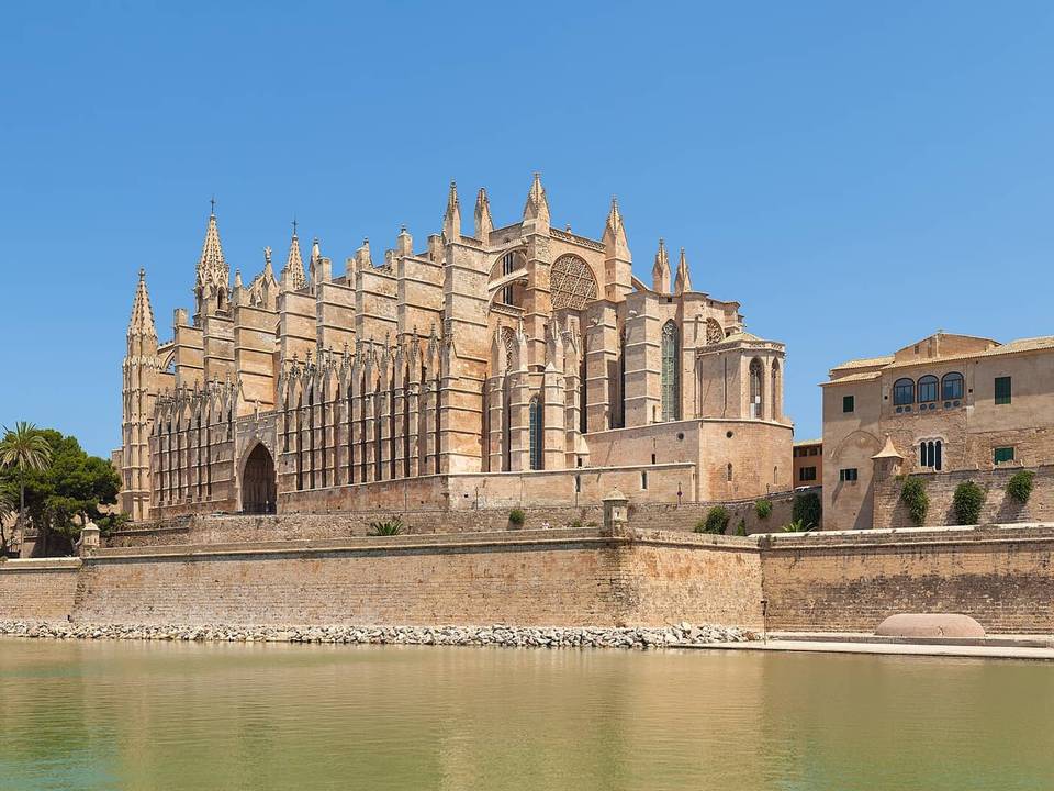
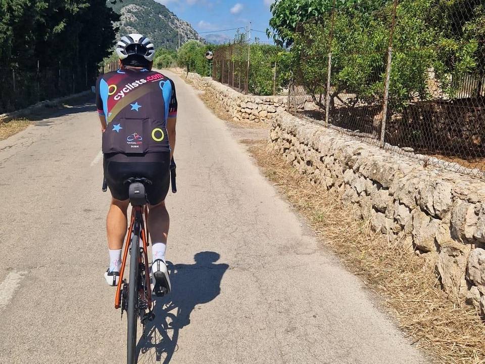
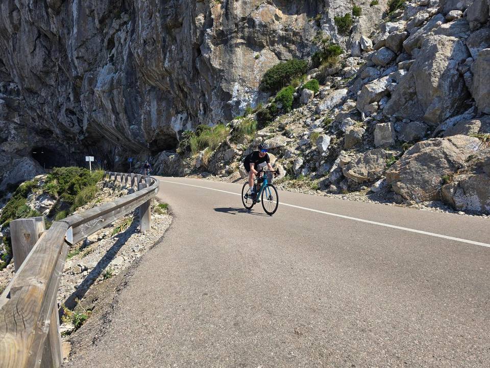
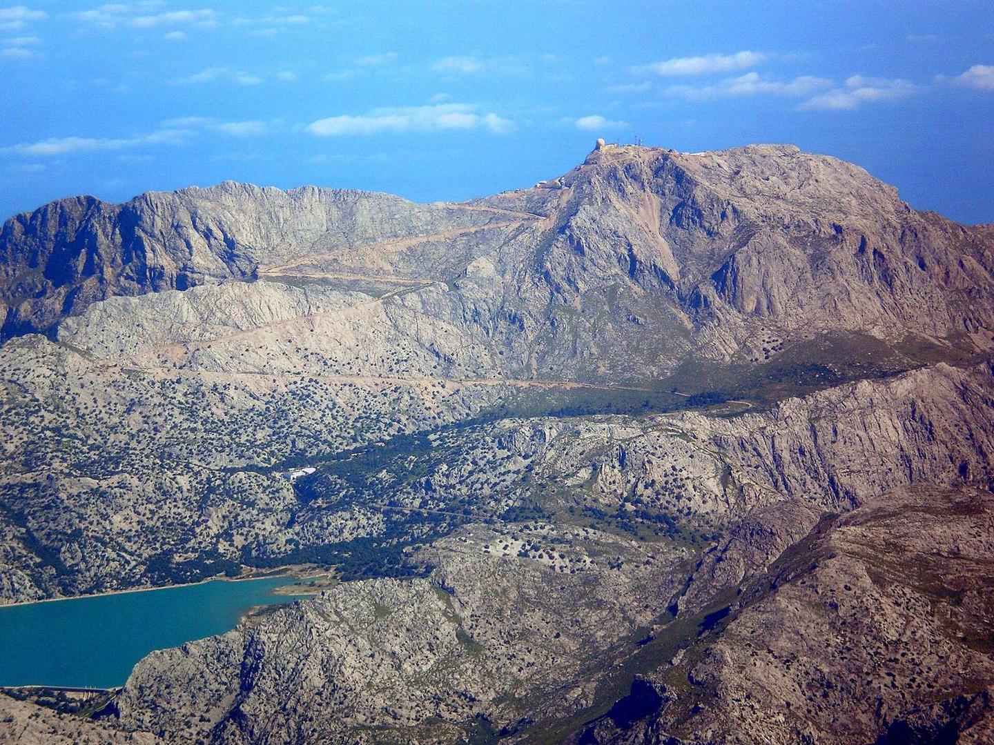
2 photographs from the road

Photo: Carlos Delgado editado por Xavigivax · CC BY-SA 3.0 · Wikimedia Commons · Photo: Rudolphu · CC BY-SA 4.0 · Wikimedia Commons · Photo: Isiwal · CC BY-SA 4.0 · Wikimedia Commons

About this route

Route line
Routed on OpenStreetMap roads with bicycle routing, then measured like a recorded ride.
Elevation
Recalculated from the Copernicus GLO-90 terrain model every 50 m, not the device’s barometer.
Best months
Ten years of ERA5 weather for Sóller (Open-Meteo).
GPX
Generated from the route line: track points only, no timestamps or personal data.
Page added
Page last updated

See something wrong with this ride?

Rides starting nearby