Cyclists.com

Around Ras al-Khaimah via Al Hayilah

Ras Al Khaimah, Ras Al Khaimah, United Arab EmiratesRoad

101 km
Distance
947 m
Elevation gain
Hard
Difficulty
Paved
Surface
Download GPXMap
On the road: Around Ras al-Khaimah via Al Hayilah

Elevation profile

Total ascent
947 m
Distance
101 km
0100200300400500m0 km255075101 km434 m · highest, at 65.2 kmStartFinish · back at the start

Route overview

Cyclists suited to a long 101 km ride with moderate climbing of 947 m.

101 km loop around Ras al-Khaimah in the Hajar Mountains with 947 m climbing.

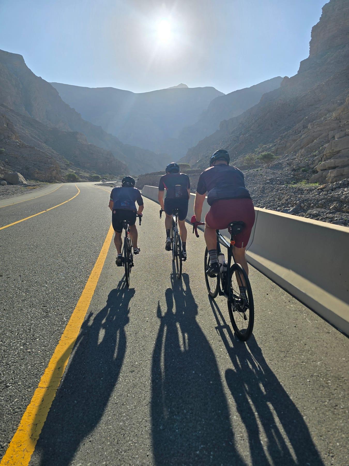
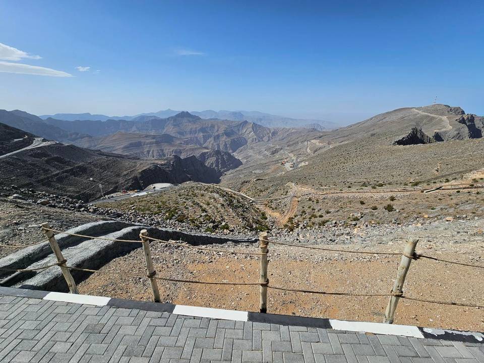
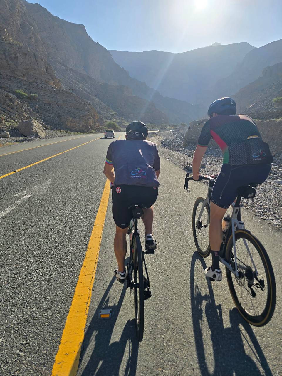
Starting from Ras al-Khaimah, this 101 km loop heads towards Al Hayilah at 29.1 km, passing Al Miherbani at 29.7 km and Jiddat Silayyah at 31.5 km before reaching Al Feriya at 38 km and Liwa Badr at 39.1 km. The route returns close to Ras al-Khaimah, passing Ad Daqayiq at 93.8 km before completing the loop. The ride offers four main climbs. The first begins at 7.4 km climbing 135 m over 4 km at an average of 3.4%, peaking at 418 m. The next climb starts at 46.3 km with 163 m gained over 3.4 km at 4.9%, including a maximum gradient of 14.2%, reaching 228 m. At 59.8 km, a 3.8 km climb of 135 m follows, averaging 3.5%. Another climb begins at 83 km, gaining 136 m over 4 km at 3.4%. Overall, the route gains 947 m, reaching a high of 433 m at 64.2 km and descending as low as 29 m at 41.5 km. Almost all the 101 km is paved (99%), mostly on minor roads (88%) with 11% on main roads without cycle lanes, including 66 km on roads with speed limits over 80 km/h and 71.3 km on Jais Road. There is a 99.1 km stretch without cafes, shops or water. Toilets are located at 24.9 km off route, and a petrol station (ADNOC) near the finish at 99.1 km. The longest descent is 6 km starting at 65.3 km dropping 171 m. The route passes beneath Jibal Asmat As Siʻeli (700 m) around 55.9 km.

Highlights

  • Loop around Ras al-Khaimah
  • Climb at 46.3 km with 14.2% max gradient
  • Highest point 433 m at 64.2 km
  • Beneath Jibal Asmat As Siʻeli (700 m) at 55.9 km

Along the route

Measured from the recorded track and OpenStreetMap.

Places passed

  1. Al Hayilah 29.1 km
  2. Al Miherbani 29.7 km
  3. Jiddat Silayyah 31.5 km
  4. Al Feriya 38 km
  5. Liwa Badr 39.1 km
  6. Ad Daqayiq 93.8 km

Climbs

ClimbStarts atLengthGainAverageMaxTop
7.4 km4 km135 m3.4 %6.8 %418 m
Ras Al Khaimah climb46.3 km3.4 km163 m4.9 %14.2 %228 m
59.8 km3.8 km135 m3.5 %6.7 %418 m
83 km4 km136 m3.4 %6.7 %417 m

High point 433 m at 64.2 km; low point 29 m. Passes beneath Jibal Asmat As Siʻeli.

Ras Al Khaimah climb · starts at 46.2 km

3.4 km at 4.9% · 163 m
100150200m2.6%11%-3.9%0 km1233.3 km213 msteepest 10.9%
< 4%4 – 7%7 – 10%> 10%

What this ride is like

Measured from OpenStreetMap along the track and the elevation profile.

Roads
88% minor road · 11% main road
Main roads
10.6 km on main roads without a cycle lane — likely busier
Fast roads
66 km on roads with a limit of 80 km/h or more
Main roads used
Jais Road (71 km)
Surface
Paved throughout
Gradient
23% climbing · 20% descending · 57% flat
Steep sections
3.5 km over 5% · 1 km over 8% · 0.5 km over 10% · steepest 500 m averages 13.5% at 0 km
Longest descent
6 km from 65.3 km, dropping 171 m

Along the way

Within a few hundred metres of the track, from OpenStreetMap. Opening hours change — treat this as where to look, not a promise.

Longest stretch without a café, shop or water: 99 km, from 0 km to 99 km.

Food, water and shops

  1. 24.9 kmToilets · 90 m off route
  2. 99.1 kmADNOC · petrol station · 40 m off route

Practical information

Surface
Paved
Route shape
Loop
Riding time
3½–5 hours riding
Season
Apr
Best months
Nov to Mar — daily highs of 23–29 °C in those months

Know before you go

  • 99.1 km without café, shop or water
  • 10.6 km on main roads without cycle lane
  • 66 km on roads with 80 km/h+ speed limit
  • Steepest 500 m at start with 13.5% gradient

Routes are for inspiration. Roads, surfaces and conditions change — check locally and ride within your limits.

More rides from Ras Al Khaimah