Road · United Arab Emirates
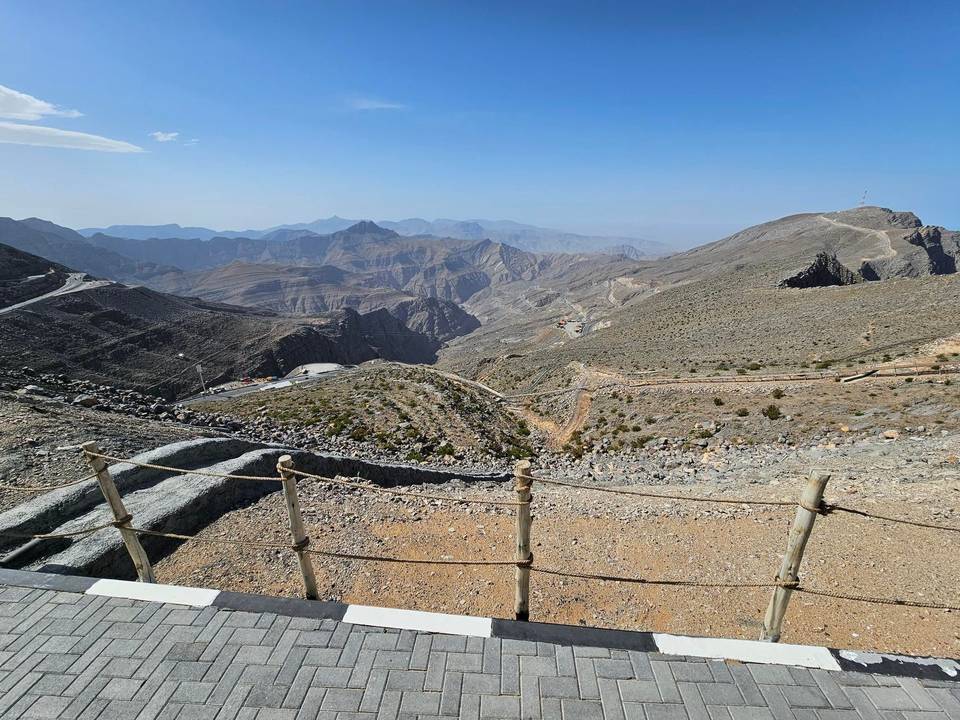
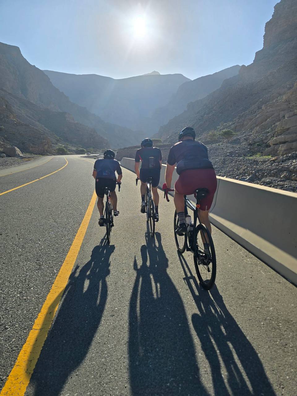
A mountainous 102 km road cycling loop from Ras Al Khaimah through Lahsa, Wadi Jib, Ad Daqayiq and Al Hayilah, with 1,789 m of climbing over the Ras al-Khaimah climb and Jebel Yibir. There is a 48 km stretch without a café, shop or water (km 49–97).
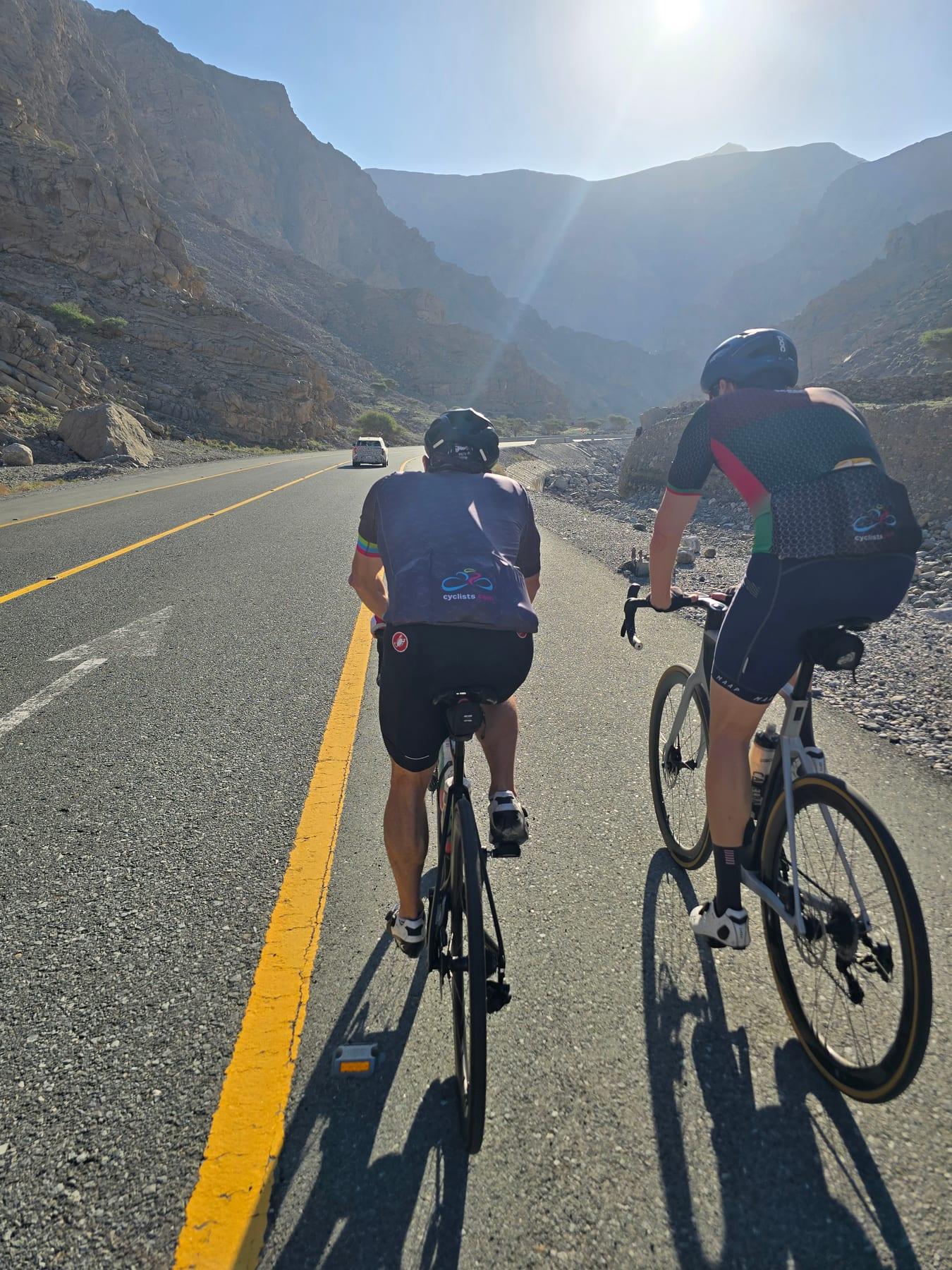
Starting at Ras al-Khaimah, the route quickly ascends a 3.3 km climb from km 22, gaining 150 m at an average of 4.6%, reaching 433 m height. Following this, a longer climb begins at km 25.5, climbing 1218 m over 20.4 km at 6%, peaking at 1644 m near km 45.9 beneath Jabal ar Rahrah. A shorter climb follows at km 48.6 for 3 km, gaining 139 m.
The road surface is 98% paved, with 95% on minor roads and 4% on quiet streets, including 64.5 km on Jais Road. There are 22.9 km on roads with speed limits of 80 km/h or more. The profile includes about 31% climbing, 29% descending, and 40% flat, with the longest descent lasting 20.9 km dropping 1201 m from km 55.3. Facilities include a petrol station at 13.9 km and toilets at km 12.3, 35, and 58.2. There is no café, shop, or water for 48.1 km between 48.5 km and 96.6 km. A restaurant and viewpoint at 48.5 km are slightly off route.
The route passes through places including Lahsa, Wadi Jib at 25.9 km and Ad Daqayiq at 77.5 km, continuing to Al Hayilah, Al Miherbani, Jiddat Silayyah, and Al Feriya near the end. Peaks near the road include Jibal Asmat As Siʻeli at 700 m near km 17.4 and Jabal Maqatail at 1556 m near km 48.8.
| Climb | Starts at | On this ride | Full ascent | Top on this ride |
|---|---|---|---|---|
| Ras al-Khaimah climb | 22 km | 3.3 km · 150 m · 4.6 % · max 14.1 % | 3.3 km · 150 m · 4.6 % | 433 m |
| Jebel Yibir | 25.5 km | 20.4 km · 1218 m · 6 % · max 10 % | 23.6 km · 1356 m · 5.7 % | 1644 m |
| Unnamed climb | 48.6 km | 3 km · 139 m · 4.6 % · max 9.3 % | — | 1643 m |
Mostly minor roads and streets on the map.
The longest stretch without a café, shop or water is 48 km, from km 49 to 97. Along the route: 1 café or restaurant, 1 petrol station and 4 public toilets.