Cyclists.com

Jebel Jais from Ras Al Khaimah

Ras Al Khaimah, Hajar Mountains, United Arab EmiratesRoad

81 km
Distance
1,784 m
Elevation gain
Hard
Difficulty
Paved
Surface
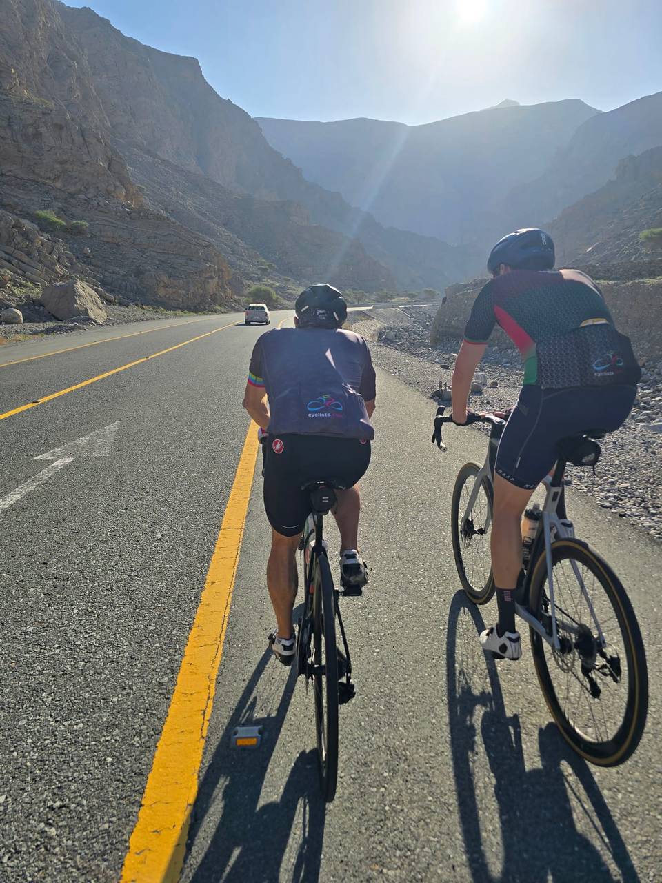
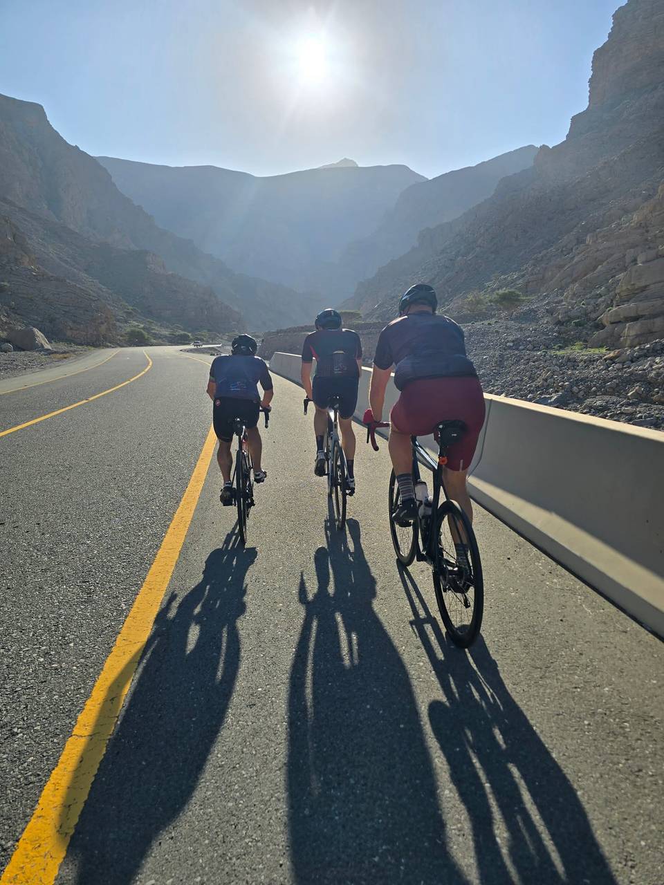
On the road: Jebel Jais from Ras Al Khaimah

Elevation profile

1,784 m over 81 km

Route overview

Fit riders comfortable with 81 km and 1,784 m of climbing concentrated in one sustained 24 km ascent.

An out-and-back from Ras Al Khaimah into the Hajar Mountains, climbing 24 km to 1,619 m on the Jebel Jais road before returning the same way.

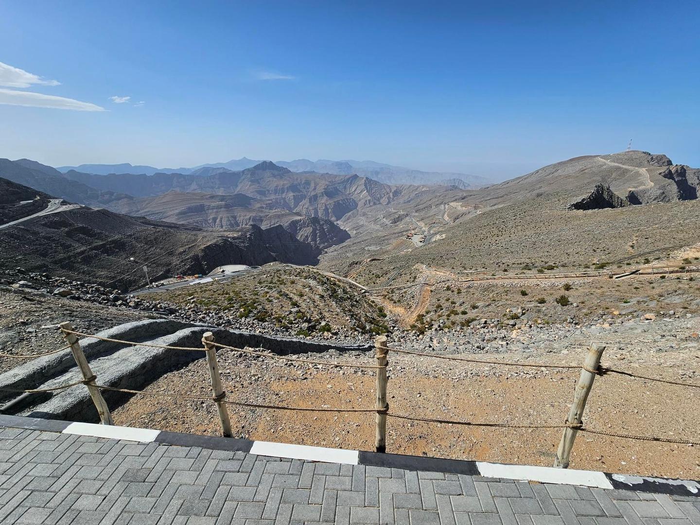
The route leaves Ras Al Khaimah at 172 m, its lowest point, passing an ADNOC fuel station at 1.5 km and the hamlet of Ad Daqayiq at 6.7 km, beneath Jibal Asmat As Si'eli (700 m). The road begins to climb in earnest at 9.3 km, just before Lahsa, Wadi Jib, and does not relent for 24.3 km: 1,327 m of gain at 5.5% average and a maximum of 7%, topping out at 1,619 m. All of the day's climbing is in the first half. The ascent is punctuated by viewpoints at 13.2, 15.7, 21.4, 26.7 and 30.7 km, with rest areas at 27.4 and 28.1 km. Jabal ar Rahrah (1,691 m) stands close to the road at 33.8 km, and the high point of 1,645 m comes at 36.5 km, near the hamlets of Sal and Dafalas and beneath Jabal Maqatail (1,556 m). The return retraces the same road past a marked 1,484 m viewpoint, Baighit, Jabal Shintal (1,435 m) and Wassab, with a rest area at 60.3 km. Low hills of 338 m, 418 m and 387 m mark the final kilometres through Atmar back to the coast.

Highlights

  • 24.3 km continuous climb at 5.5% to 1,619 m
  • High point of 1,645 m at km 36.5
  • Close views of Jabal ar Rahrah, 1,691 m
  • Nine marked viewpoints on the ascent

Along the route

Measured from the recorded track and OpenStreetMap.

Places passed· crosses into Oman

  1. Ad Daqayiq 6.7 km
  2. Lahsa, Wadi Jib 13.4 km
  3. Sal 35.4 km
  4. Dafalas 38.4 km
  5. Baighit 46.7 km
  6. Wassab 53.1 km
  7. Atmar 76.7 km

On the road

  • ADNOC (Fuel station) 1.5 km
  • Viewpoint 13.2 km
  • Viewpoint 15.7 km
  • Viewpoint 21.4 km
  • Viewpoint 26.7 km
  • Rest area 27.4 km
  • Rest area 28.1 km
  • Viewpoint 30.7 km
  • 1484m (Viewpoint) 39.2 km
  • Viewpoint 45.2 km
  • Viewpoint 47.9 km
  • Viewpoint 49.3 km

Climbs

Starts atLengthGainAverageMaxTop
9.3 km24.3 km1327 m5.5 %7 %1619 m

High point 1645 m at 36.5 km; low point 172 m. Passes beneath Jibal Asmat As Siʻeli, Jabal ar Rahrah, Jabal Maqatail.

Practical information

Surface
Paved
Route shape
Out & back
Riding time
3–4½ hours riding
Season
Recordings run from October to April, with temperatures between 16°C and 30°C; the cooler winter months suit the exposed climb best.

Know before you go

  • The route crosses between the UAE and Oman several times
  • No cafés or water points listed; only rest areas at km 27.4, 28.1 and 60.3
  • Recorded temperatures reach 30°C on a fully exposed climb

Routes are for inspiration. Roads, surfaces and conditions change — check locally and ride within your limits.

10 photographs from the road

More rides from Ras Al Khaimah