Road · United Arab Emirates
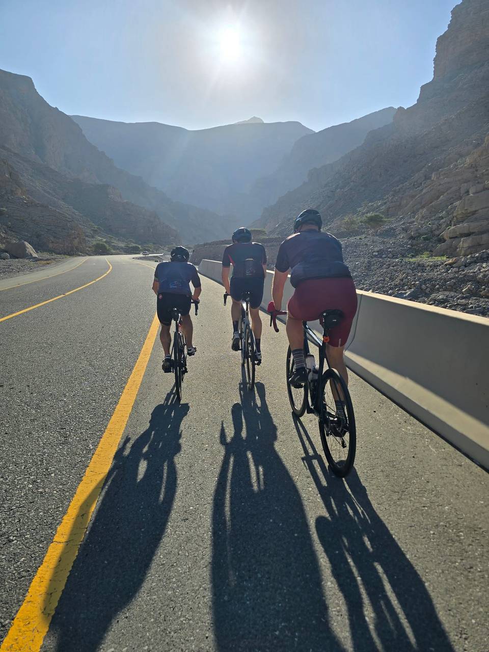
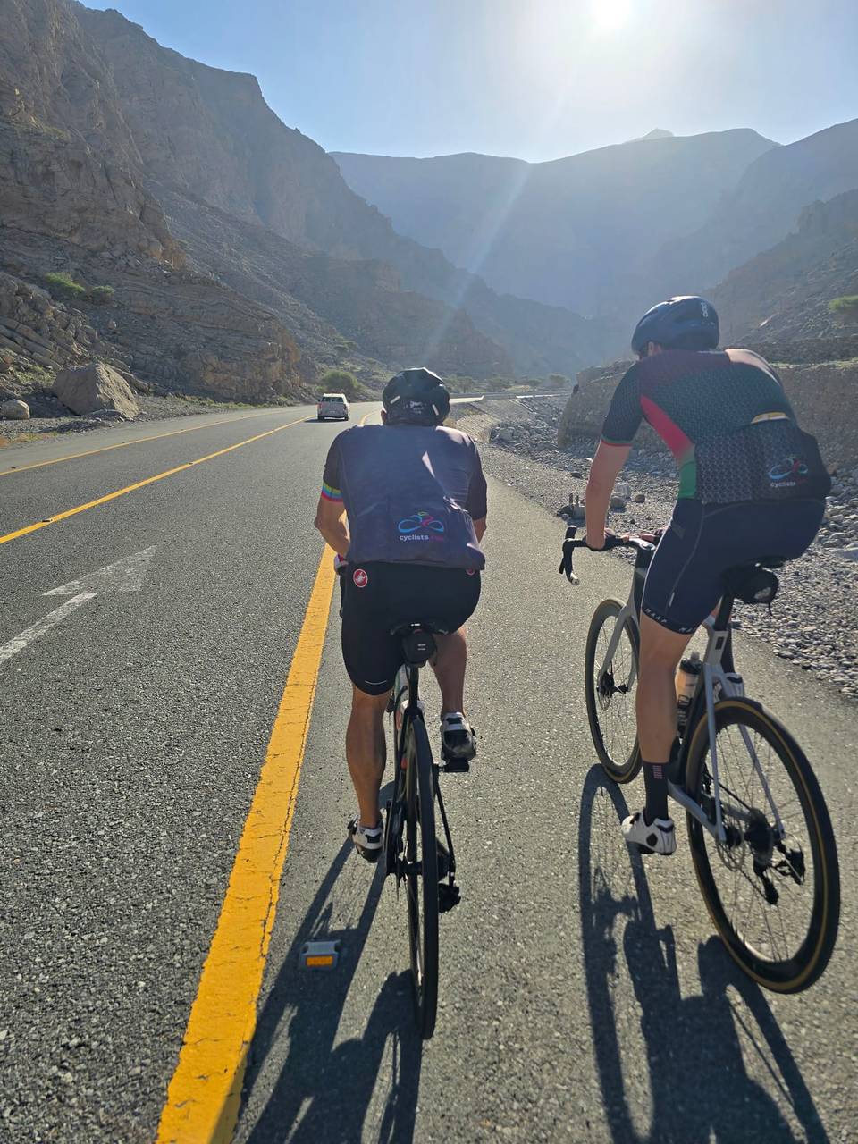
A mountainous 45 km road cycling out-and-back route from Lahsa, Wadi Jib through Baighit, Dafalas and Wassab, with 1,223 m of climbing over Jebel Yibir. The first 25 km has no café, shop or water.
Starting near Lahsa, Wadi Jib at 1 km, the route follows mainly minor roads including 38.4 km on Jais Road. The climb to the summit reaches 1642 m at 21.8 km, with an average gradient of 5.6% and a maximum of 9.9%, featuring 15.8 km over 5% gradient. Almost all the 45 km route is paved, mostly minor roads (95%), with 1% gravel. After reaching the summit near Jabal ar Rahrah peak at 21.7 km, the route returns along the same path.
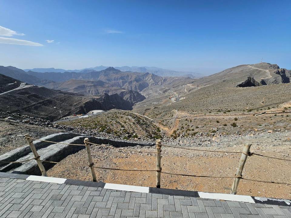
Facilities are scarce, with the longest stretch of 24.8 km without a café, shop, or water from the start. Amenities near the route include toilets at 14.6 km and 33 km. The restaurant 1484 By Puro lies 55 m off-route at 24.8 km, where there is also a viewpoint at 1484 m elevation. The route passes beneath Jabal ar Rahrah (1691 m), Jabal Maqatail (1556 m), and Jabal Shintal (1435 m). The longest descent section is 22.7 km starting after the summit, dropping 1364 m.
| Climb | Starts at | On this ride | Full ascent | Top on this ride |
|---|---|---|---|---|
| Jebel Yibir | 0 km | 21.8 km · 1222 m · 5.6 % · max 9.9 % | 23.6 km · 1356 m · 5.7 % | 1642 m |
Mostly minor roads and streets on the map.
The longest stretch without a café, shop or water is 25 km, from the start. Along the route: 1 café or restaurant and 3 public toilets.