Cyclists.com

Jebel Jais from Ras Al Khaimah

Ras Al Khaimah, Ras Al Khaimah, United Arab EmiratesRoad

Route contributed by Marcus · Last ridden Saturday 21st March 2026

81 km
Distance
1,772 m
Elevation gain
Hard
Difficulty
Paved
Surface
Download GPXMap
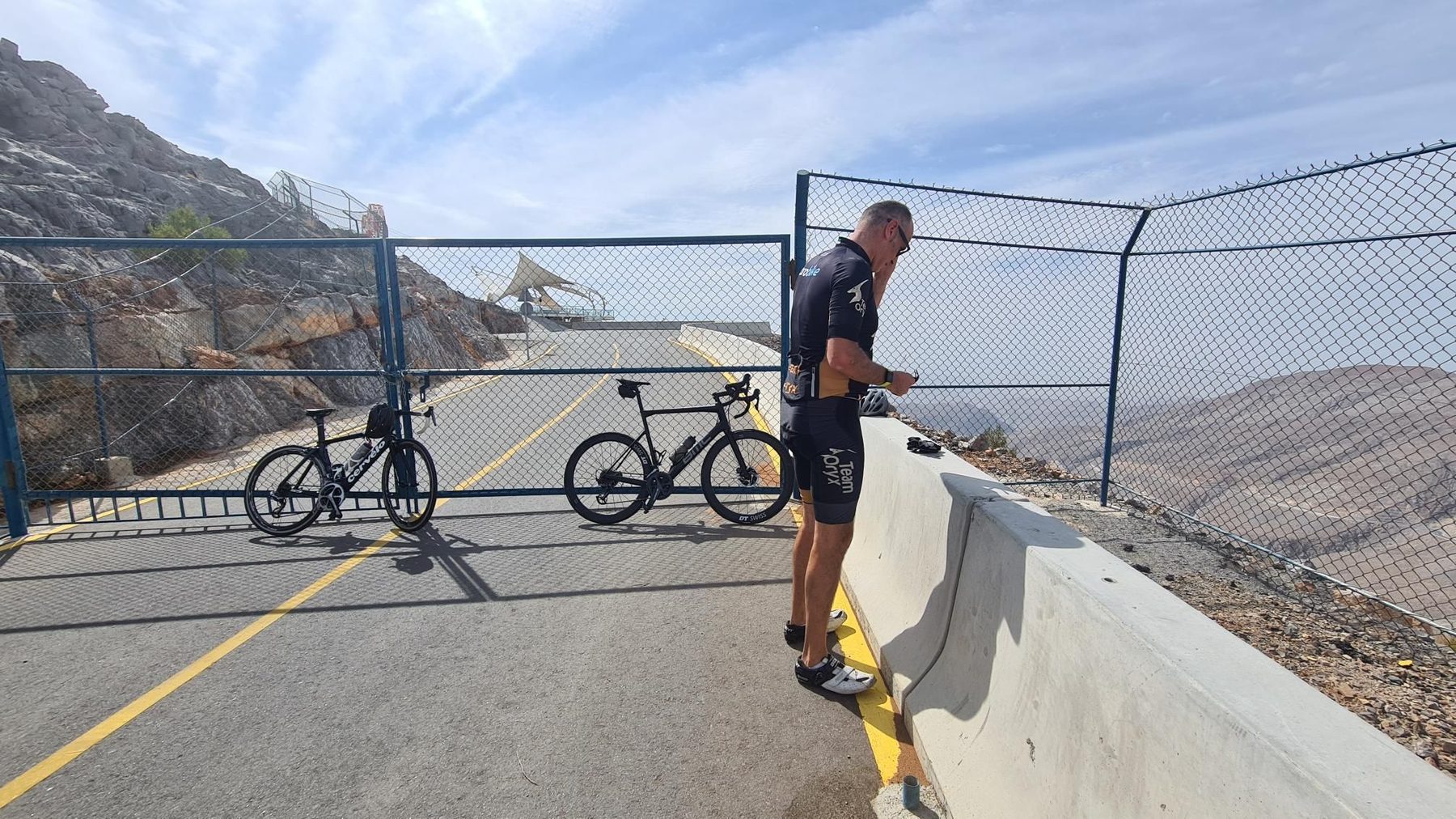
On the road: Jebel Jais from Ras Al Khaimah

Elevation profile

Total ascent
1,772 m
Distance
81 km
05001,0001,5002,000m0 km20406081 km1,768 m · highest, at 37.5 kmStartFinish · back at the start

Route overview

Cyclists seeking a long, sustained climb with substantial elevation gain.

81 km bike route from Ras Al Khaimah climbing 1784 m in the Hajar Mountains.

The ride starts in Ras Al Khaimah and passes through Ad Daqayiq at 6.7 km and Lahsa, Wadi Jib at 13.4 km. The first major climb begins just after 9 km and continues for 26.7 km, gaining 1485 m at an average gradient of 5.6%, reaching a high point at 1769 m near 35.9 km. The road surface is 99% paved, mostly on minor roads (95%), with a short section on quiet streets (4%). The longest stretch on named roads covers 67.5 km on Jais Road and 3 km on Defalas Road.

Highlights

  • Climb of 26.7 km with 1485 m gain
  • Top of route at 1769 m elevation
  • Peaks near route: Jabal ar Rahrah and Jabal Maqatail
  • Longest descent is 27.5 km dropping 1378 m

Along the route

Measured from the recorded track and OpenStreetMap.

Places passed

  1. Ad Daqayiq 6.7 km
  2. Lahsa, Wadi Jib 13.4 km
  3. Sal 35.4 km
  4. Dafalas 38.4 km
  5. Baighit 46.7 km
  6. Wassab 53.1 km
  7. Atmar 76.7 km

Climbs

ClimbStarts atLengthGainAverageMaxTop
Jebel Jais9.1 km26.7 km1485 m5.6 %17.9 %1769 m
Jebel Yibir39.2 km3 km140 m4.6 %9.1 %1644 m

High point 1769 m at 35.9 km; low point 164 m. Passes beneath Jibal Asmat As Siʻeli, Jabal ar Rahrah, Jabal Maqatail.

Jebel Jais · starts at 9.1 km

26.7 km at 5.6% · 1485 m
4006008001,0001,2001,4001,600m5.2%5.2%6.2%5.8%5.6%6.6%6.5%5.1%6.1%6.6%6.6%5.8%7.0%7.0%7.0%5.0%5.3%5.5%1.7%3.8%0 km234567891011121314151617181920212223242526.7 km1,769 msteepest 13.7%
< 4%4 – 7%7 – 10%> 10%

Jebel Yibir · starts at 39.2 km

25.5 km at 5.3% · 1357 m
4006008001,0001,2001,4001,600m4.8%5.0%5.2%6.3%5.7%5.8%7.1%7.6%4.9%7.1%6.1%6.1%7.0%6.1%7.2%6.0%4.3%7.8%2.3%0 km123456789101112131415161718192021222324.4 km1,643 msteepest 7.8%

What this ride is like

Measured from OpenStreetMap along the track and the elevation profile.

Roads
95% minor road · 4% quiet street
Fast roads
22.9 km on roads with a limit of 80 km/h or more
Main roads used
Jais Road (68 km), Defalas Road (3 km)
Surface
Paved throughout
Gradient
39% climbing · 38% descending · 23% flat
Steep sections
18.6 km over 5% · 1.8 km over 8% · 0.8 km over 10% · steepest 500 m averages 15.7% at 36.4 km
Longest descent
27.5 km from 44.2 km, dropping 1378 m

Along the way

Within a few hundred metres of the track, from OpenStreetMap. Opening hours change — treat this as where to look, not a promise.

Longest stretch without a café, shop or water: 38 km, from 39 km to 78 km.
Food, water and shops

  1. 1.5 kmADNOC · petrol station · 90 m off route
  2. 26.7 kmToilets · on the route
  3. 39.2 km1484 By Puro (Jebel Jais) · restaurant · 40 m off route
  4. 77.6 kmToilets · 70 m off route

Worth a stop

  • 33.8 kmJabal ar Rahrah (peak, 1691 m)
  • 39.2 km1484m (viewpoint)
  • 42.2 kmJebel Jais Adventure Center (attraction)

Practical information

Surface
Paved
Route shape
Out & back
Riding time
3–4½ hours riding
Season
Feb, Mar, Apr, Oct, Nov, Dec with temperatures from 16°C to 30°C.
Best months
Nov to Mar — daily highs of 23–29 °C in those months

Know before you go

  • 38.4 km stretch without café, shop or water from km 39.2 to 77.6
  • 22.9 km on roads with speed limits 80 km/h or more

Routes are for inspiration. Roads, surfaces and conditions change — check locally and ride within your limits.

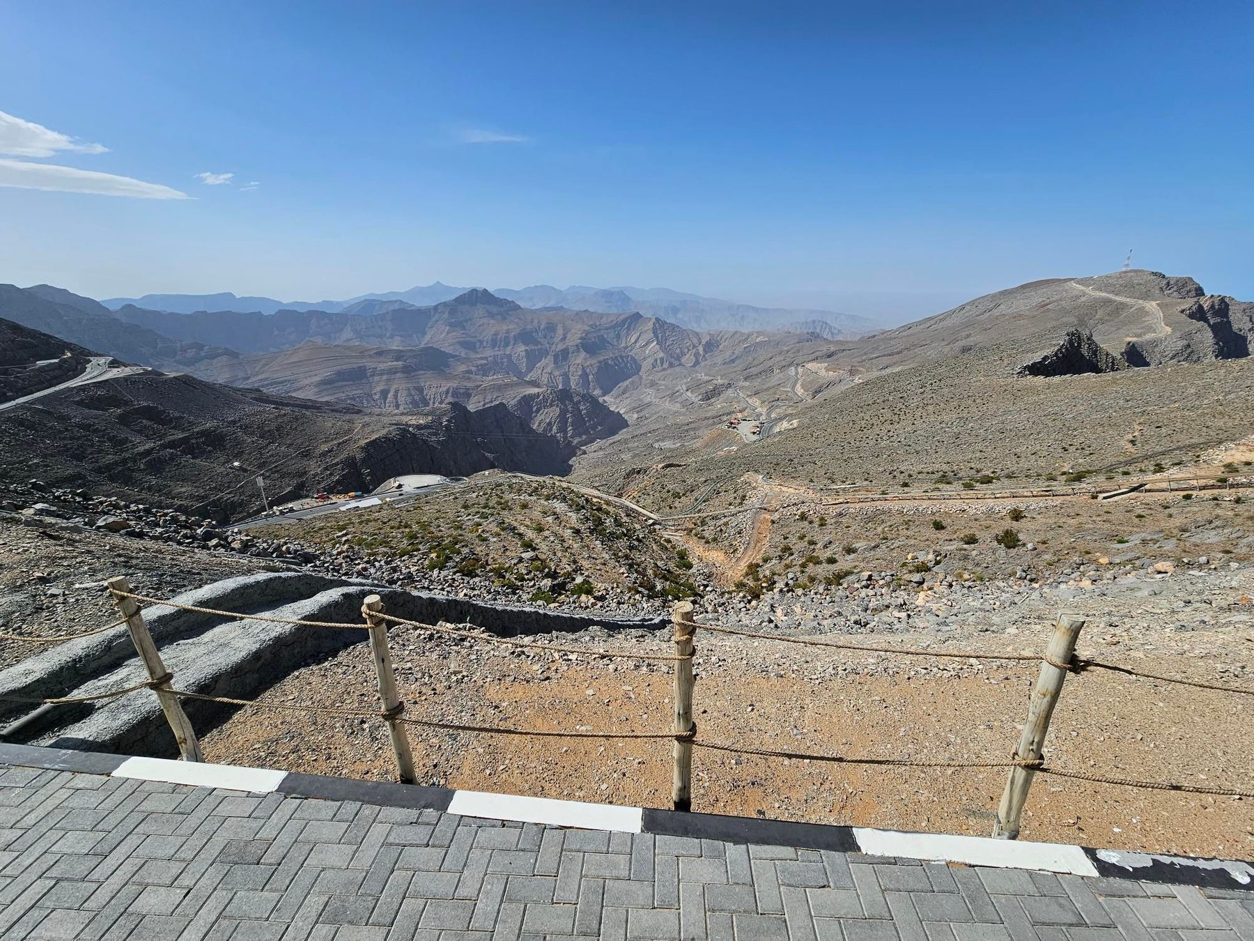
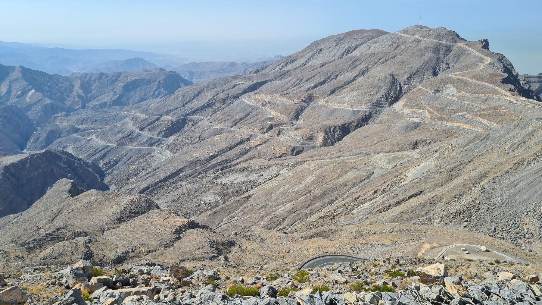
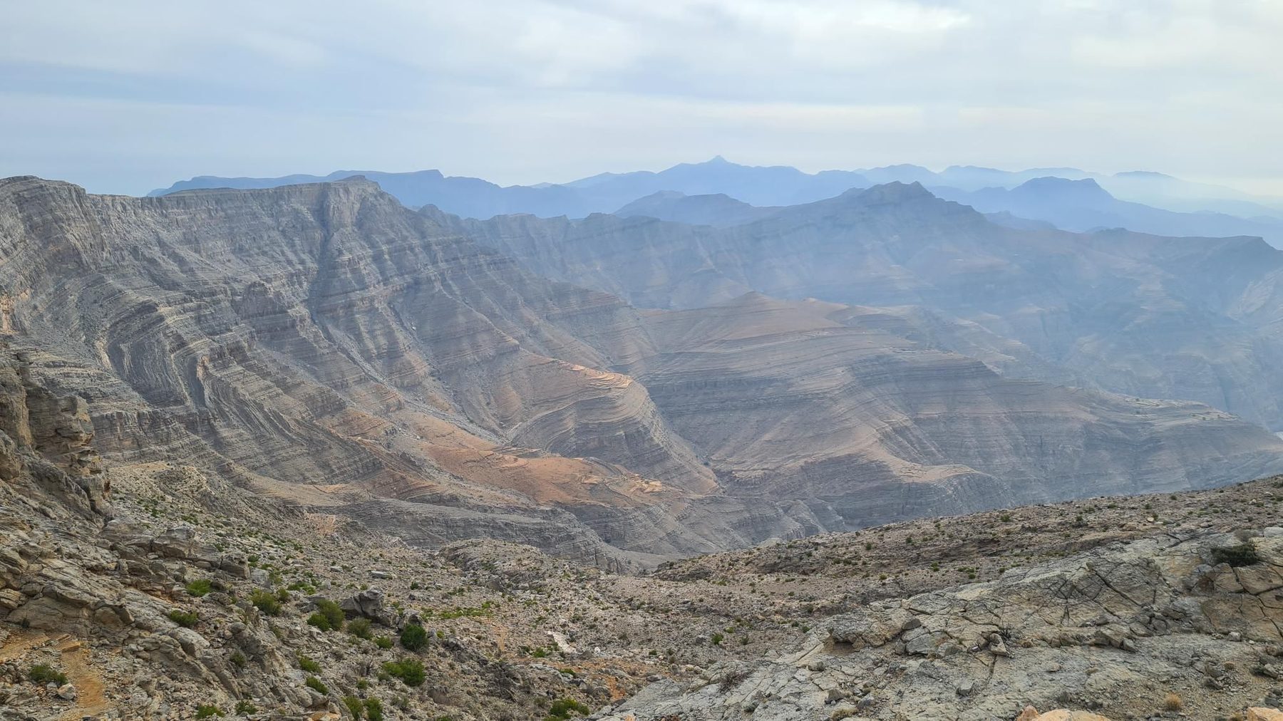
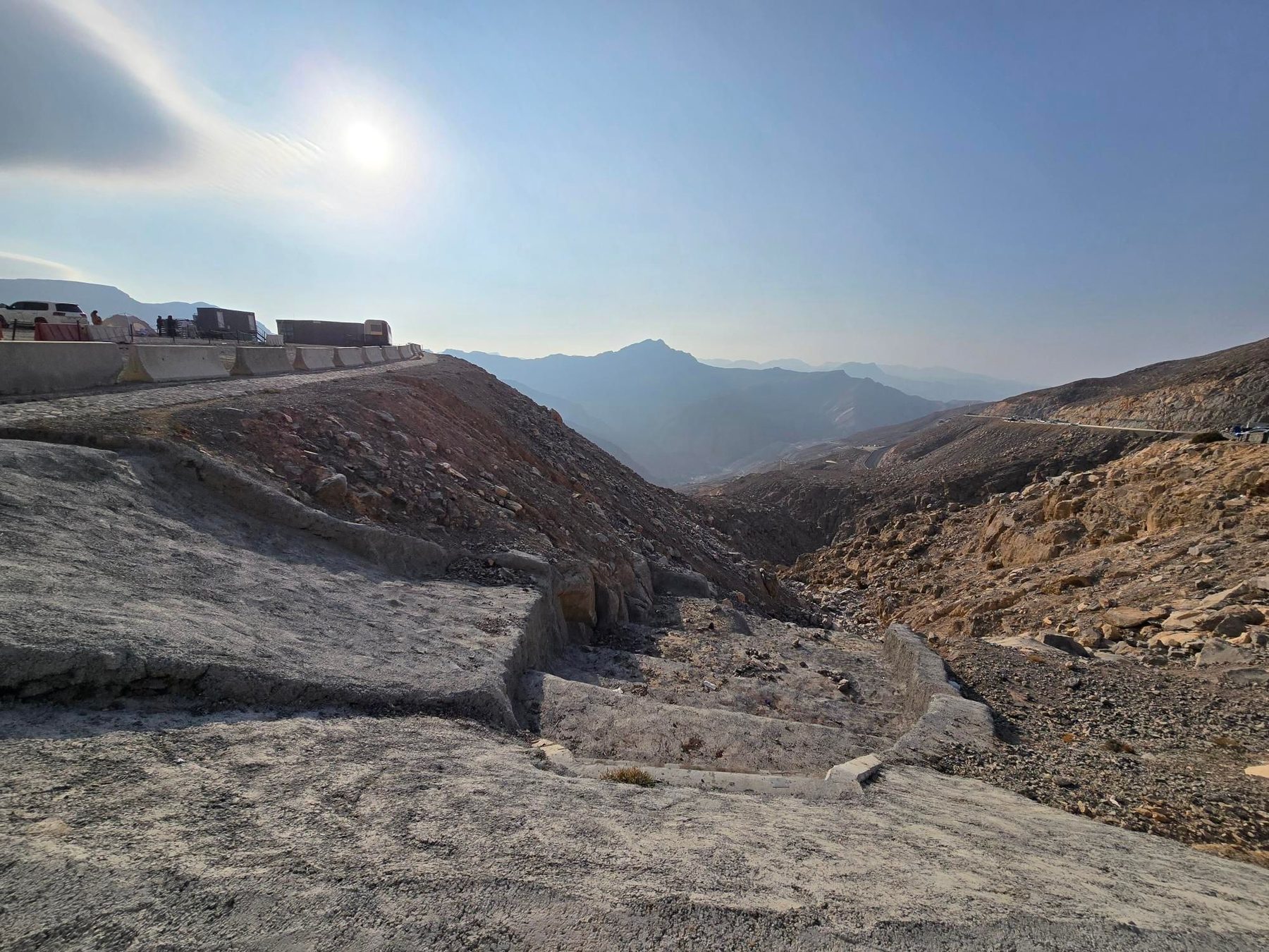
15 photographs from the road

More rides from Ras Al Khaimah