Cyclists.com

Jebel Jais Summit Climb

Ras Al Khaimah, Ras Al Khaimah, United Arab EmiratesMixed

Route contributed by Marcus · Last ridden Saturday 29th November 2025

45 km
Distance
1,223 m
Elevation gain
Hard
Difficulty
Mixed
Surface
Download GPXMap
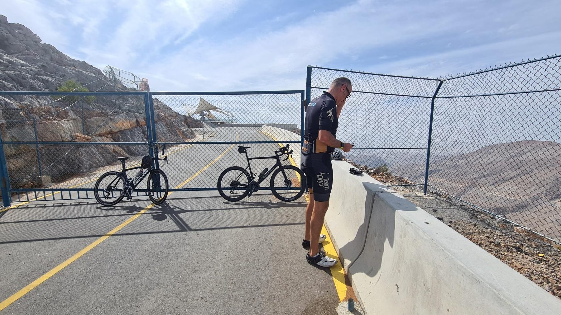
On the road: Jebel Jais Summit Climb

Elevation profile

Total ascent
1,223 m
Distance
45 km
05001,0001,5002,000m0 km1020304045 km1,642 m · highest, at 22.4 kmStartFinish · back at the start

Route overview

This ride suits climbers prepared for 1131 m of sustained climbing over 45 km.

45 km out-and-back climb to Jebel Jais summit near Ras Al Khaimah, UAE, with 1131 m climbing.

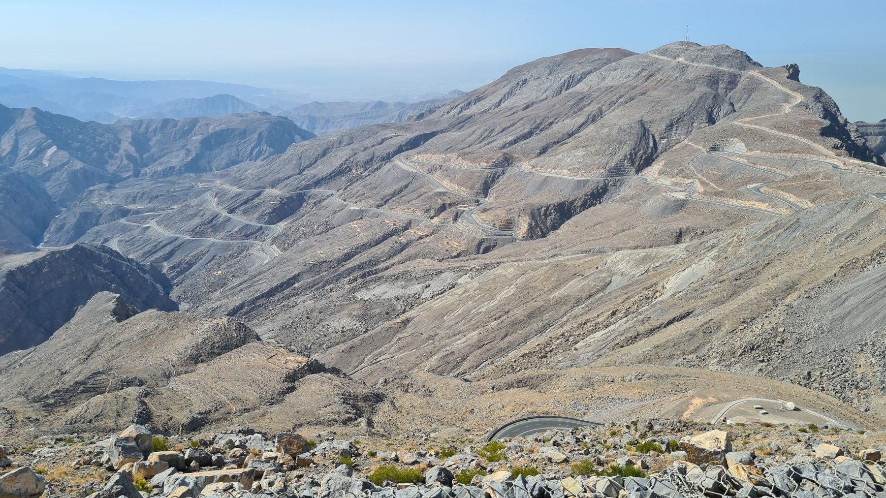
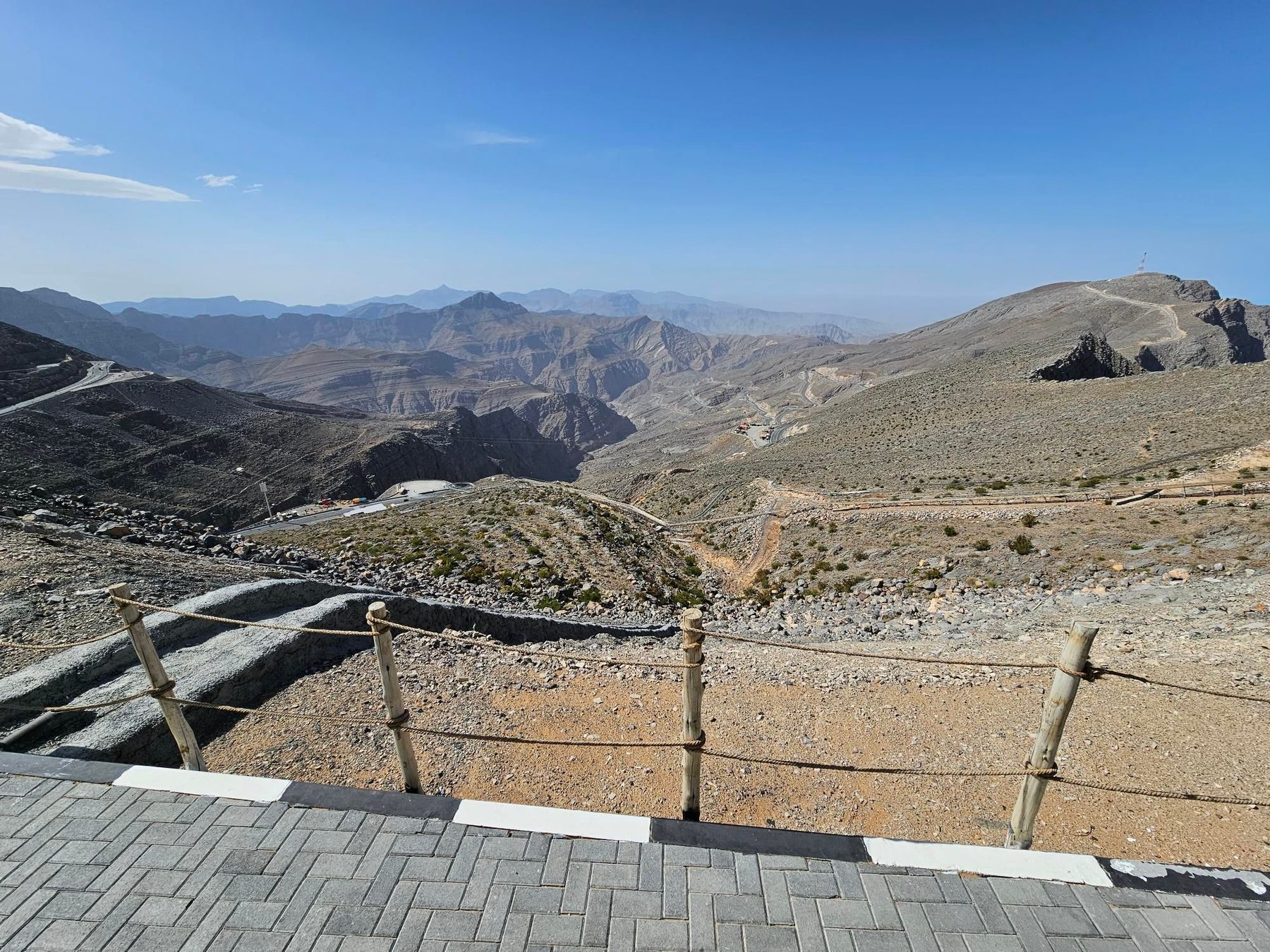
Starting near Lahsa, Wadi Jib at 1 km, the route follows mainly minor roads including 38.4 km on Jais Road. The climb to the summit reaches 1642 m at 21.8 km, with an average gradient of 5.6% and a maximum of 9.9%, featuring 15.8 km over 5% gradient. Almost all the 45 km route is paved, mostly minor roads (95%), with 1% gravel. After reaching the summit near Jabal ar Rahrah peak at 21.7 km, the route returns along the same path. Facilities are scarce, with the longest stretch of 24.8 km without a café, shop, or water from the start. Amenities near the route include toilets at 14.6 km and 33 km. The restaurant 1484 By Puro lies 55 m off-route at 24.8 km, where there is also a viewpoint at 1484 m elevation. The route passes beneath Jabal ar Rahrah (1691 m), Jabal Maqatail (1556 m), and Jabal Shintal (1435 m). The longest descent section is 22.7 km starting after the summit, dropping 1364 m.

Highlights

  • Jebel Jais summit climb to 1642 m
  • Passes beneath Jabal ar Rahrah peak (1691 m)
  • Longest descent of 22.7 km dropping 1364 m
  • 1484 By Puro restaurant near 24.8 km viewpoint

Along the route

Measured from the recorded track and OpenStreetMap.

Places passed

  1. Baighit 17.2 km
  2. Dafalas 23.9 km
  3. Wassab 32.9 km

Climbs

ClimbStarts atLengthGainAverageMaxTop
Jebel Yibir0 km21.8 km1222 m5.6 %9.9 %1642 m

High point 1642 m at 21.8 km; low point 409 m. Passes beneath Jabal ar Rahrah, Jabal Maqatail, Jabal Shintal.

Jebel Yibir · starts at 0 km

25.5 km at 5.3% · 1357 m
4006008001,0001,2001,4001,600m4.8%5.0%5.2%6.3%5.7%5.8%7.1%7.6%4.9%7.1%6.1%6.1%7.0%6.1%7.2%6.0%4.3%7.8%2.3%0 km123456789101112131415161718192021222324.4 km1,643 msteepest 7.8%
< 4%4 – 7%7 – 10%> 10%

What this ride is like

Measured from OpenStreetMap along the track and the elevation profile.

Roads
95% minor road · 4% quiet street
Main roads used
Jais Road (38 km), Defalas Road (3 km)
Surface
Paved throughout
Gradient
48% climbing · 49% descending · 3% flat
Steep sections
15.8 km over 5% · 1.1 km over 8%
Longest descent
22.7 km from 22.3 km, dropping 1364 m

Along the way

Within a few hundred metres of the track, from OpenStreetMap. Opening hours change — treat this as where to look, not a promise.

Longest stretch without a café, shop or water: 25 km, from 0 km to 25 km.
Food, water and shops

  1. 14.6 kmToilets · on the route
  2. 24.8 km1484 By Puro (Jebel Jais) · restaurant · 60 m off route
  3. 33 kmToilets · on the route

Worth a stop

  • 21.7 kmJabal ar Rahrah (peak, 1691 m)
  • 24.8 km1484m (viewpoint)

Practical information

Surface
Mixed
Route shape
Out & back
Riding time
2½–3½ hours riding
Season
July
Best months
Nov to Mar — daily highs of 23–29 °C in those months

Know before you go

  • Longest stretch without café, shop or water: 24.8 km from start
  • 1.8 km on quiet streets, 41.8 km on minor roads
  • Max gradient 9.9% over 1.1 km
  • Temperatures recorded at 32°C in July

Routes are for inspiration. Roads, surfaces and conditions change — check locally and ride within your limits.

1 photograph from the road

More rides from Ras Al Khaimah