Cyclists.com

Regional Cycle Route 16

Bala, Gwynedd, United KingdomRoad

Signed route The waymarked Regional Route (regional route 16), traced from OpenStreetMap and measured against the terrain model; no member has recorded it yet. Ridden it? Add your recording and photos.

18 km
Distance
122 m
Elevation gain
Easy
Difficulty
Paved
Surface
Download GPXMap

Elevation profile

Total ascent
122 m
Distance
18 km
050100150200250m0 km5101518 km199 m · highest, at 2.5 kmStartFinish

Route overview

Suitable for riders who want a short 18 km ride with moderate climbing and a mix of road types.

An 18.4 km point-to-point ride from Llanycil to Cynwyd near Bala, Gwynedd, UK with 122 m of climbing.

The route starts in Llanycil just before Bala and heads past Bala at 0.5 km, continuing to Llandderfel at 8.8 km, and finishing in Cynwyd at 18.3 km. The highest point is 199 m at around 2.6 km and the lowest is 144 m near the finish. The profile includes just over 120 m of climbing mainly in the first half, with gentle climbs under 11% maximum gradient and 64% of the route flat. Road surfaces are mostly paved (98%) with minor roads for 52% of the distance and main roads for 40%, including 7.3 km of main roads without a cycle lane and 6.7 km on roads posted at 80 km/h or above. The longest named road ridden is the B4391 for 5 km. There is a short 0.9 km section of cycle path, and 2% of the route is unmapped. Along the route there are cafés and pubs at the start and near 7.9 km and 18.3 km, but no water or shops after roughly 7.9 km for 10.4 km. There is a railway station at 1.2 km for bailout. Nearby peaks include Bronydd Fron-Feuno, Garth Goch, and Moel Heulog. Toilets are near the start at 0.1 km.

Highlights

  • Llyn Tegid foreshore viewpoint at 0.1 km
  • Garth Goch peak near 3.5 km
  • Moel Heulog peak at 7.2 km
  • B4391 road for 5 km

Along the route

Measured from the recorded track and OpenStreetMap.

Places passed

  1. Llandderfel 8.8 km

What this ride is like

Measured from OpenStreetMap along the track and the elevation profile.

Roads
52% minor road · 40% main road · 5% cycle path
Main roads
7.3 km on main roads without a cycle lane — likely busier
Fast roads
6.7 km on roads with a limit of 80 km/h or more
Main roads used
B4391 (5 km)
Surface
Paved throughout
Gradient
19% climbing · 17% descending · 64% flat

Along the way

Within a few hundred metres of the track, from OpenStreetMap. Opening hours change — treat this as where to look, not a promise.

Food, water and shops

  1. 0.1 kmWoody's · café · on the route
  2. 0.1 kmToilets · on the route
  3. 0.5 kmCo-op Food · supermarket · 360 m off route
  4. 0.5 kmL Rowland & Co · pharmacy · 520 m off route
  5. 7.9 kmBryn Tyrion · pub · on the route
  6. 18.3 kmBlue Lion Hotel · pub · on the route

Need to bail out?

  • 1.2 kmBala (Penybont) (station), 120 m off route

Whether bikes are carried depends on the service — check before relying on it.

Worth a stop

  • 0.1 kmLlyn Tegid foreshore (viewpoint)
  • 3.5 kmGarth Goch (peak, 220 m)

At the start

  • Loch Cafe · café · 20 m
  • Woody's · café · 150 m
  • Co-op Food · supermarket · 580 m
  • The Olde Bulls Head · pub · 600 m
  • Old Wives' Tales · restaurant · 670 m

At the finish

  • Blue Lion Hotel · pub · 20 m

Stay after this ride

  • Yr Hen Felin Activity & Mountain Centre · hostel · 180 m from the finish
  • Crown Hotel · hotel · 3.2 km from the finish
  • Owain Glyndwr Hotel · hotel · 3.2 km from the finish

Practical information

Surface
Paved
Route shape
Point to point
Riding time
1 h 19 min
Best months
Jun to Sep — daily highs of 16–19 °C in those months

Know before you go

  • 10.4 km without café, shop or water from 7.9 km
  • 7.3 km on main roads without cycle lane
  • 6.7 km on roads posted 80 km/h or more

Routes are for inspiration. Roads, surfaces and conditions change — check locally and ride within your limits.

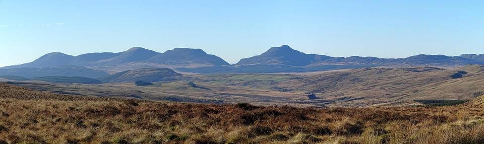
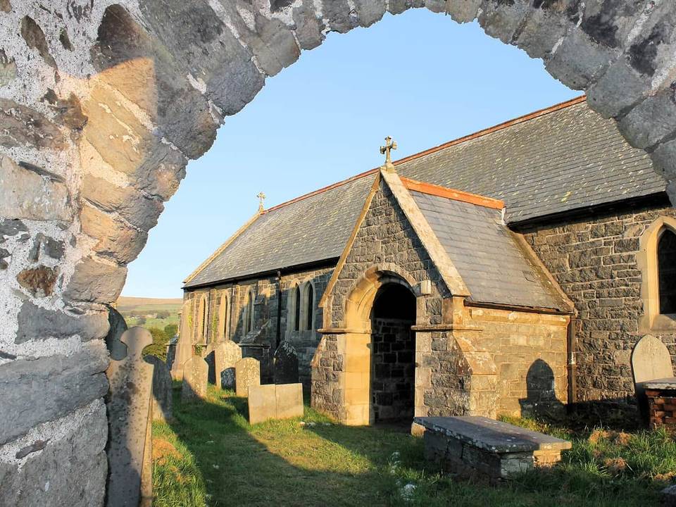
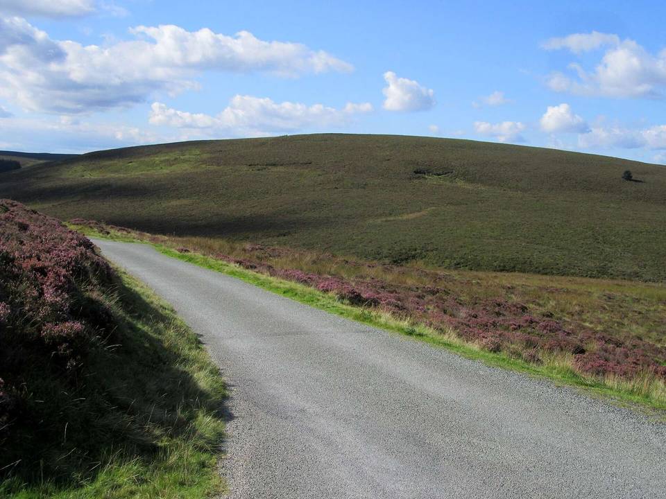
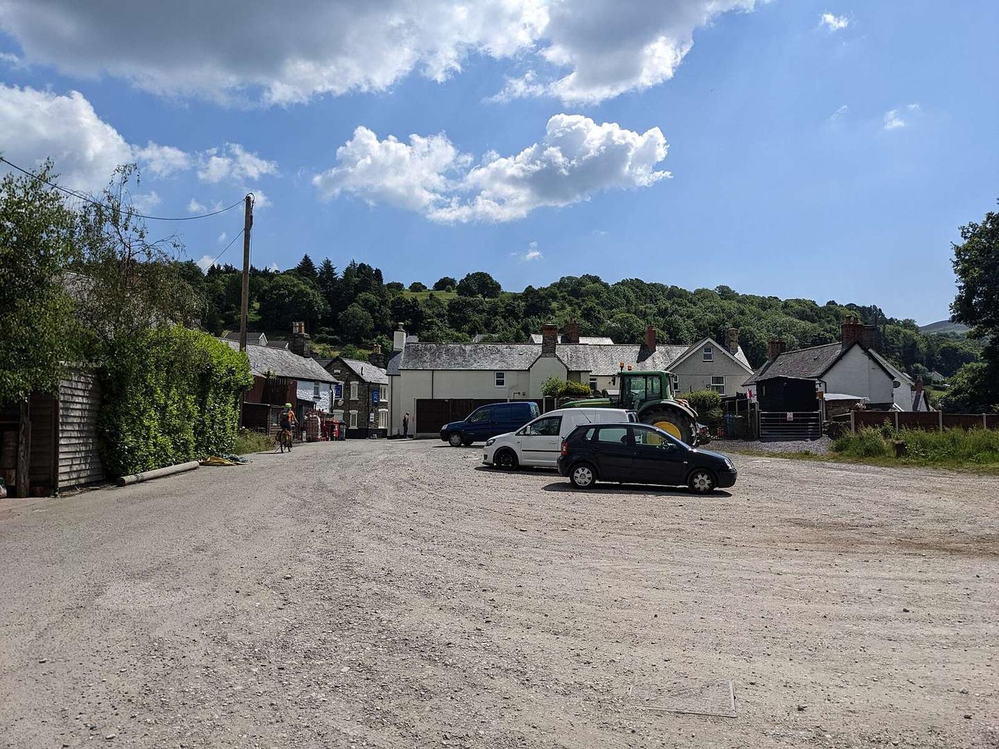
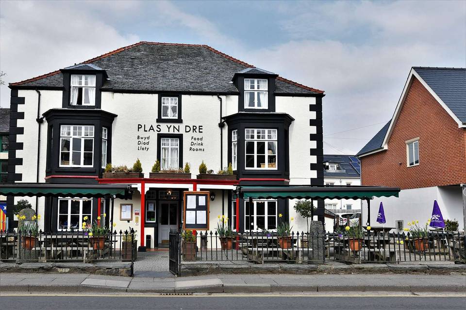
2 photographs from the road

Photo: Michael Garlick · CC BY-SA 2.0 · Wikimedia Commons · Photo: David Medcalf · CC BY-SA 2.0 · Wikimedia Commons · Photo: Ben Brooksbank · CC BY-SA 2.0 · Wikimedia Commons