Cyclists.com

Regional Cycle Route 15

Llanycil, Gwynedd, United KingdomRoad

Signed route The waymarked Regional Route (regional route 15), traced from OpenStreetMap and measured against the terrain model; no member has recorded it yet. Ridden it? Add your recording and photos.

16 km
Distance
235 m
Elevation gain
Easy
Difficulty
Paved
Surface
Download GPXMap

Elevation profile

Total ascent
235 m
Distance
16 km
0100200300400m0 km51016 km301 m · highest, at 8.3 kmStartFinish · back at the start

Route overview

Cyclists looking for a short loop with moderate climbing and varied road types.

16 km loop cycle route near Llanycil, Gwynedd with 235 m climbing.

This 16 km loop route begins and ends at Llanycil, passing through Parc at 4 km, Rhyd-uchaf at 10.7 km, and Bala at 14.4 km. The road surface is predominantly paved (98%) with minor sections of gravel and unmapped surfaces. The route includes 12.9 km on minor roads, with short sections on major roads, a cycle path, and a main road. Main roads without a cycle lane total 1.8 km. The profile features 235 m of climbing, concentrated mainly in the first half of the ride, including two climbs: a 2.2 km ascent starting at the beginning averaging 4.4% gradient, peaking at 276 m elevation, and a 1.6 km climb from 3.9 km averaging 5% gradient to 269 m height. The highest point of the ride is 301 m at 8.3 km, while the route descends to its lowest elevation of 165 m at 14.4 km near Bala. The longest descent runs for 2.2 km from 8.5 km, dropping 59 m. Facilities are limited along the way with no cafés, shops or water for 14.1 km from the start. However, there are cafés at the start/finish at Llanycil, with a bakery, supermarket, petrol station, and toilets in Bala, just after 14 km. Bailout is possible at Penybont station near Bala. Nearby peaks include Bryn-moel-uchaf at 299 m near km 1.2 and Tomen Y Bala castle close to 14.2 km. The route suits those comfortable with moderate climbing and a mix of minor and main roads.

Highlights

  • Bryn-moel-uchaf peak at 1.2 km
  • Tomen Y Bala castle near 14.2 km
  • Two climbs within first 6 km
  • Longest descent 2.2 km from 8.5 km

Along the route

Measured from the recorded track and OpenStreetMap.

Places passed

  1. Parc 4 km
  2. Rhyd-uchaf 10.7 km

Climbs

ClimbStarts atLengthGainAverageMaxTop
0 km2.2 km96 m4.4 %9.6 %276 m
3.9 km1.6 km80 m5 %9.6 %269 m

High point 301 m at 8.3 km; low point 165 m. Passes beneath Bryn-moel-uchaf, Tomen Y Bala, Bronydd Fron-Feuno.

What this ride is like

Measured from OpenStreetMap along the track and the elevation profile.

Roads
81% minor road · 7% major road · 5% cycle path · 4% main road
Main roads
1.8 km on main roads without a cycle lane — likely busier
Surface
Paved throughout
Gradient
31% climbing · 33% descending · 36% flat
Steep sections
1.7 km over 5% · 1 km over 8% · 0.5 km over 10% · steepest 500 m averages 20.7% at 0 km
Longest descent
2.2 km from 8.5 km, dropping 59 m

Along the way

Within a few hundred metres of the track, from OpenStreetMap. Opening hours change — treat this as where to look, not a promise.

Food, water and shops

  1. 14.2 kmHenblas Garage · petrol station · on the route
  2. 14.3 kmL Rowland & Co · pharmacy · on the route
  3. 14.4 kmGerrards Confectioners · bakery · on the route
  4. 14.6 kmCo-op Food · supermarket · 100 m off route
  5. 15 kmToilets · 60 m off route

Need to bail out?

  • 14.8 kmBala (Penybont) (station), 980 m off route

Whether bikes are carried depends on the service — check before relying on it.

Worth a stop

  • 1.2 kmBryn-moel-uchaf (peak, 299 m)
  • 14.2 kmTomen Y Bala (castle)

At the start and finish

  • Caffi Pererin · café · 130 m
  • Loch Cafe · café · 920 m

Practical information

Surface
Paved
Route shape
Loop
Riding time
1 h 09 min
Best months
Jun to Sep — daily highs of 16–19 °C in those months

Know before you go

  • Long 14.1 km with no café, shop or water from start
  • 1.8 km on main roads without cycle lane

Routes are for inspiration. Roads, surfaces and conditions change — check locally and ride within your limits.

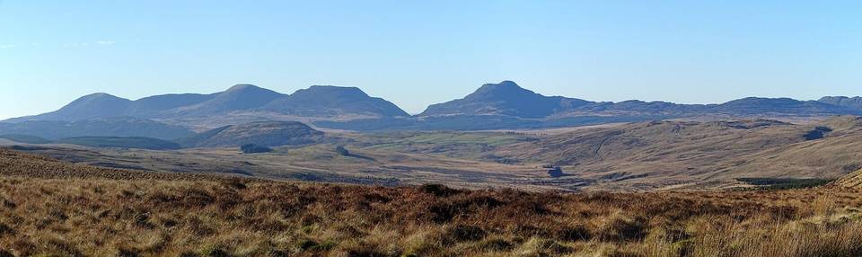
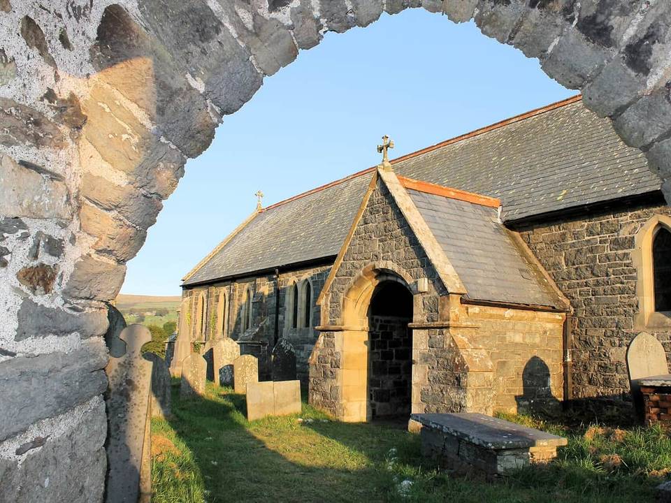
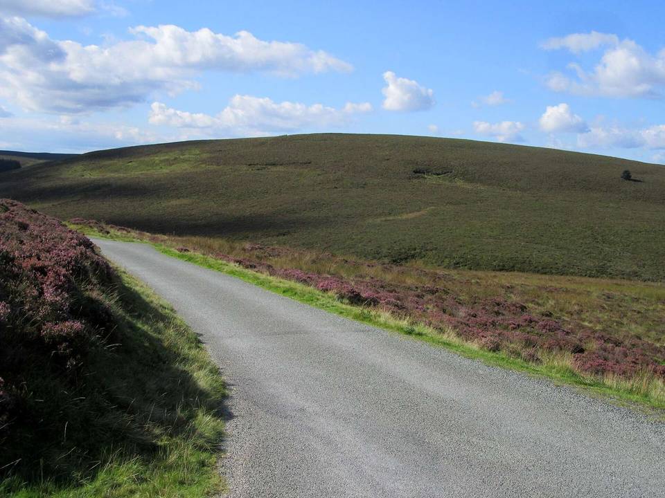
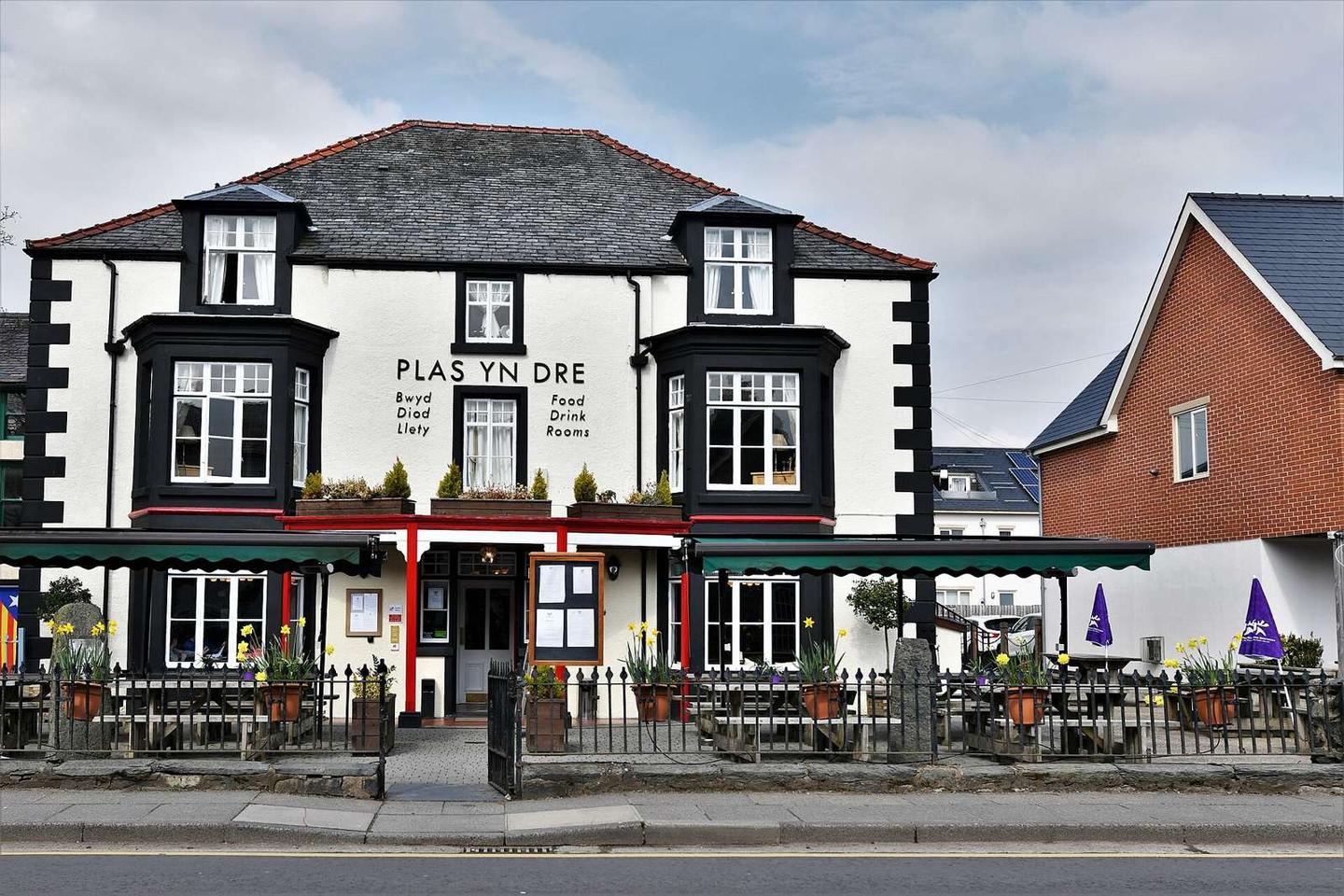
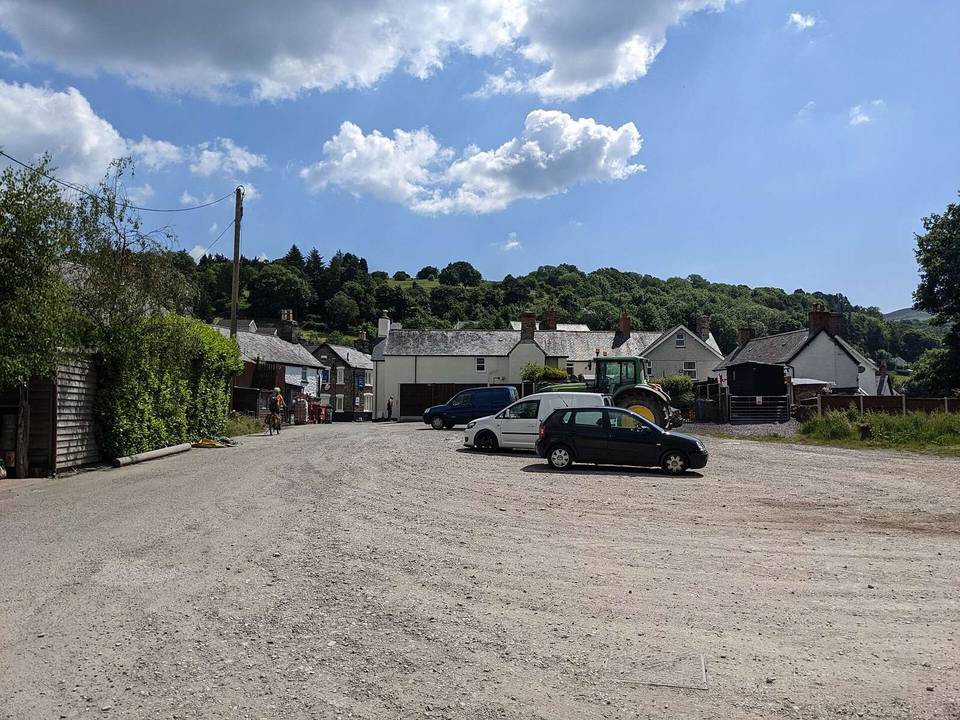
2 photographs from the road

Photo: Michael Garlick · CC BY-SA 2.0 · Wikimedia Commons · Photo: Eirian Evans (photographer), Eirian Evans (photographer) · CC BY-SA 2.0 · Wikimedia Commons · Photo: Ian Medcalf · CC BY-SA 2.0 · Wikimedia Commons