Cyclists.com

Dubai City Loop via DXBike

Dubai, Dubai, United Arab EmiratesRoad

Route contributed by Marcus · Created from a ride on Saturday 1st March 2025

112 km
Distance
41 m
Elevation gain
Moderate
Difficulty
Paved
Surface
Download GPXMap
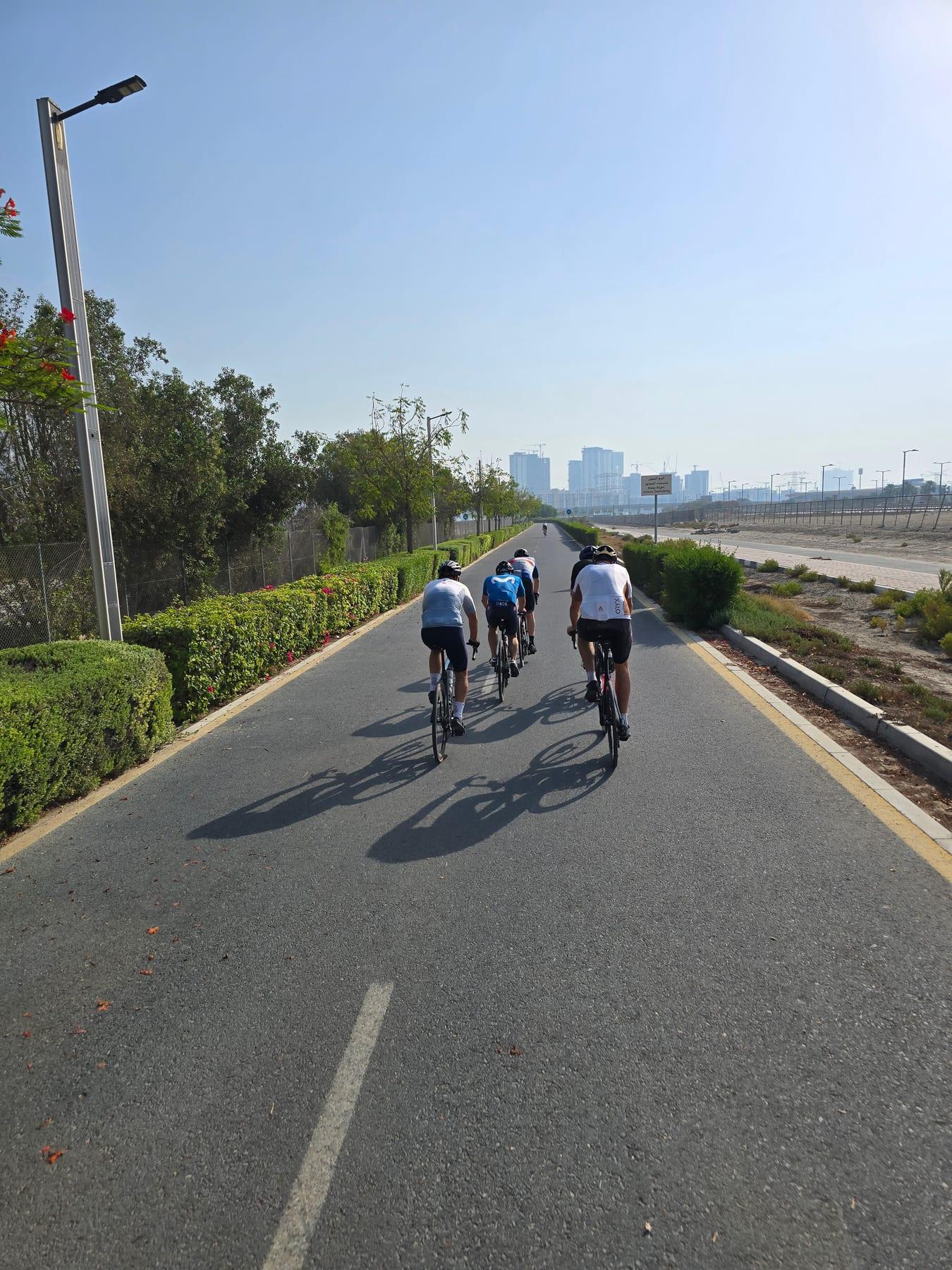
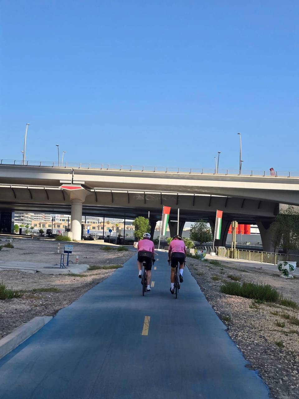
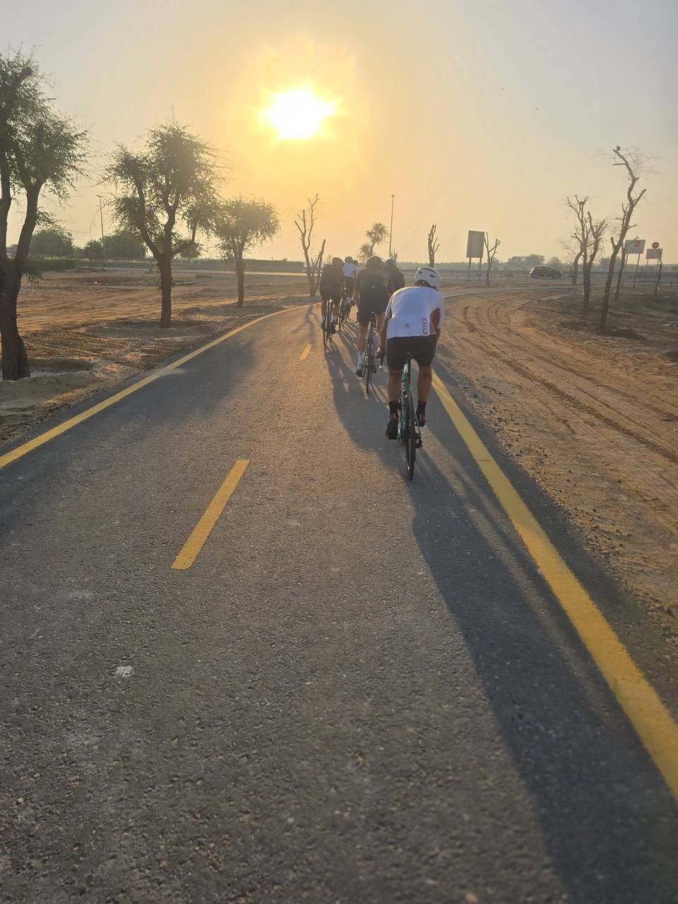
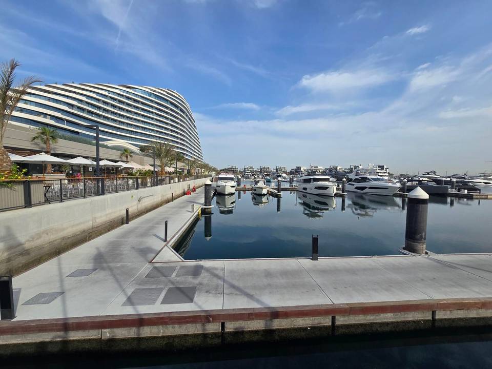
On the road: Dubai City Loop via DXBike

Elevation profile

Total ascent
41 m
Distance
112 km
-20020m0 km255075100112 km14 m · highest, at 23.5 kmStartFinish · back at the start

Route overview

Suitable for riders seeking a flat, medium-long urban loop with mixed surfaces.

112 km loop ride around Dubai with 83 m climbing and varied surfaces including cycle paths and main roads.

This 112.3 km loop starts at Al Thanyah 1 and passes through areas including Al Thanyah 3, The Springs, Emirates Hills, Umm Suqeim, Jumeirah, Business Bay, and Ghadeer Al Tair before returning to Dubai. The route is flat, with the highest point at 14 m around 28.9 km and a low point at -1 m near 88.8 km. Climbing is concentrated in the first half, comprising 60% of the total gain of 83 m. The surface is mostly paved (79%) with no gravel sections, but 21% is unmapped. The ride includes 26 km on cycle paths, 23.7 km on minor roads, 23.5 km on paths, and 18.5 km on quiet streets. However, there are 14.9 km on main roads without cycle lanes and 1 km on a road with speed limits of 80 km/h or more, including 0.8 km on a motorway. Food and drink options are available close to the route at various kilometres, such as cafés near 0.4 km, 43.5 km, 54.9 km and shops or supermarkets near 1 km, 43.5 km, and 52.9 km. There is a longest stretch of 18.5 km without a café, shop, or water between 8.3 km and 26.8 km. Several bailout points are located nearby, including ferry stations at 26.6 km, 59.6 km, and 88.9 km.

Highlights

  • Loop through Dubai districts including Emirates Hills and Jumeirah
  • Flat profile with elevation ranging from -1 m to 14 m
  • 26 km of cycle paths including DXBike cycle track
  • Coffee stops at The Springs and Jumeirah areas

Along the route

Measured from the recorded track and OpenStreetMap.

Places passed

  1. Al Thanyah 3 2.3 km
  2. Al Thanyah 5 34.7 km
  3. The Springs 38.8 km
  4. Al Thanyah 4 39 km
  5. Emirates Hills 40 km
  6. Al Sufouh 2 45.4 km
  7. Umm Suqeim 3 51.9 km
  8. Umm Suqeim 54.2 km
  9. Umm Suqeim 1 55.9 km
  10. Al Safa 56.8 km
  11. Jumeirah 3 57.9 km
  12. Jumeirah Island 2 59 km
  13. Jumeirah 2 60.3 km
  14. Al Wasl 62 km
  15. Business Bay 63.7 km
  16. Burj Khalifa 64.1 km
  17. Ghadeer Al Tair 78.8 km
  18. MBR- Al Merkad 83.2 km
  19. Al Safa 1 91.5 km
  20. Umm Suqeim 2 99.2 km
  21. Umm Al Sheif 102.4 km
  22. Al Sufouh 1 103.8 km

What this ride is like

Measured from OpenStreetMap along the track and the elevation profile.

Roads
24% cycle path · 22% minor road · 22% path · 17% quiet street
Main roads
14.9 km on main roads without a cycle lane — likely busier
Fast roads
1 km on roads with a limit of 80 km/h or more
Cycle paths
26 km on cycle paths or roads with a cycle lane
Main roads used
Nad Al Sheba Cycling Track (10 km), Al Worood 3 Street (10 km), Abdullah Omran Taryam Street (4 km), Al Sohool Street (4 km)
Surface
79% paved · 0% gravel or unpaved · 21% unmapped
Gradient
0% climbing · 0% descending · 100% flat

Along the way

Within a few hundred metres of the track, from OpenStreetMap. Opening hours change — treat this as where to look, not a promise.

Longest stretch without a café, shop or water: 19 km, from 8 km to 27 km.

Food, water and shops

  1. 0.4 kmCaribou · café · 50 m off route
  2. 5.2 kmMediclinic Meadows · clinic · 90 m off route
  3. 38.2 kmMedicina Pharmacy - Meadows · pharmacy · 160 m off route
  4. 40.1 kmENOC · petrol station · 60 m off route
  5. 43.5 kmNAYAS Restaurant & Cafe · café · on the route
  6. 51.5 kmMed Art Clinic Day Surgery Centre · clinic · 30 m off route
  7. 52.9 kmAl Gazal Alajabali Grocery · supermarket · 60 m off route
  8. 55.4 kmEmarat · petrol station · 30 m off route
  9. 59 kmIl Café di Roma · café · 60 m off route
  10. 63.3 kmSupermash · supermarket · 90 m off route
  11. 68.7 kmTriathlon Hub · bike shop · 250 m off route
  12. 77 kmBike On · bike rental · 110 m off route
  13. 89.5 kmCareem Bike · bike rental · on the route
  14. 90.8 kmKabab Al Bastakiah · café · 100 m off route
  15. 92.5 kmEternal Poly Clinic · clinic · 40 m off route
  16. 95.8 kmToilets · 30 m off route
  17. 98.8 kmEmarat · petrol station · 190 m off route
  18. 100.8 kmToilets · 100 m off route

Need to bail out?

  • 13.5 kmNational Paints (station), 1.5 km off route
  • 20.3 kmDMCC (station), 950 m off route
  • 26.6 kmDubai Marina (ferry), 1.4 km off route
  • 43.1 kmAl Fardan Exchange (station), 470 m off route
  • 59.6 kmJumeirah Marine Transport Station (ferry), 110 m off route
  • 88.9 kmBusiness Bay MTS (ferry), 140 m off route
  • 102.1 kmMall of the Emirates (station), 1.4 km off route

Whether bikes are carried depends on the service — check before relying on it.

Worth a stop

  • 19.8 kmOnStage International (viewpoint)
  • 45.8 kmARN Arabian Radio Network (viewpoint)
  • 49.7 kmGolden Horses (monument)
  • 53.6 kmUmm Suqeim Night Swimming Beach (attraction)
  • 57.3 kmJumeirah Beach (attraction)
  • 94.6 kmmedwin medical jumera (attraction)

At the start and finish

  • Caribou · café · 160 m
  • Bluemart Supermarket · supermarket · 270 m
  • Hive Board Game Café · café · 510 m
  • 25- Degrees North · restaurant · 260 m
  • Nando's · restaurant · 140 m

Practical information

Surface
Paved
Route shape
Loop
Riding time
4–5½ hours riding
Season
March with temperatures around 21°C
Best months
Dec to Feb — daily highs of 25–27 °C in those months

Know before you go

  • Longest stretch without café, shop or water for 18.5 km between 8.3 km and 26.8 km
  • 14.9 km on main roads without cycle lanes
  • 1 km on roads with speed limits of 80 km/h or more
  • 0.8 km on motorway

Routes are for inspiration. Roads, surfaces and conditions change — check locally and ride within your limits.

18 photographs from the road

More rides from Dubai