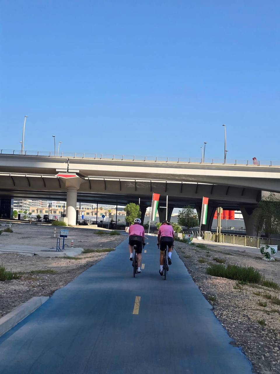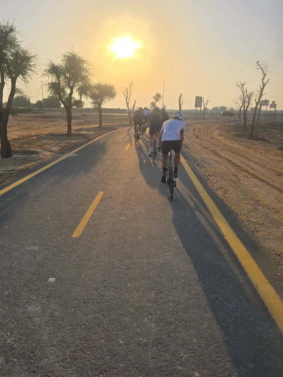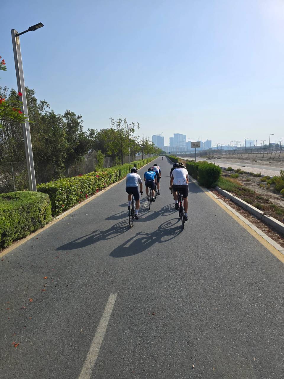
Road · United Arab Emirates
A flat 106 km road cycling loop from The Greens through Al Sufouh 1, Umm Suqeim 1 and Jumeirah 2, with 53 m of climbing.
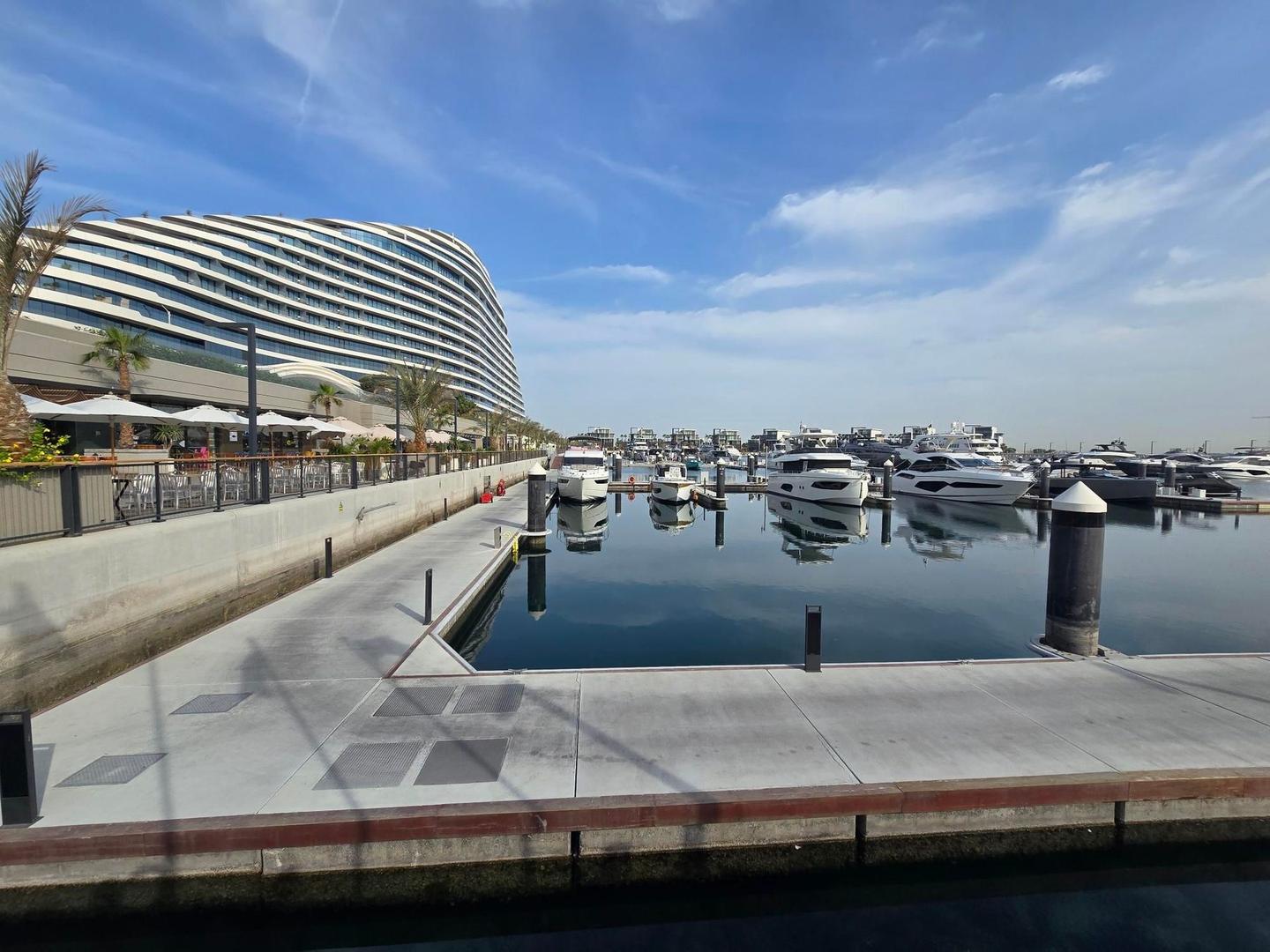
Starting from The Greens in Dubai, the 106 km loop passes through Al Thanyah 1, Al Sufouh 1, and several Umm Suqeim districts before reaching Al Safa and Jumeirah areas. It continues via Al Wasl to Business Bay and near Burj Khalifa at 19.7 km. The route then heads through Ghadeer Al Tair, Nadd Al Sheba 1 and 2, and further onto Bukadra and MBR- Al Merkad. Afterward, it returns through Al Safa 1, Jumeirah Island 2, and more Umm Suqeim districts, progressing through Al Sufouh 2 and Al Thanyah areas before cycling past Emirates Hills and The Springs and back to The Greens.
The ride is entirely flat with elevation between 0 m and 25 m and includes 41% of climbing in the first half. Surfaces are mostly paved (89%) with no gravel or unpaved sections, though 11% remains unmapped. The route uses a mix of cycle paths (26 km), main roads (22.6 km), minor roads (18.9 km), quiet streets (15.8 km), and paths (14.9 km), with 1.6 km on a motorway. However, the cycle lane coverage on main roads is limited with 24.2 km on main roads without cycle lanes.
Facilities available include cafés such as Boon Coffee Roasters and Espressini, supermarkets including Spinneys near 29.4 km, and drinking water points around 12.2 km and 66.6 km. There is a long stretch without cafés, shops, or water of 17.8 km between 29.4 km and 47.2 km. Bailout points include Dubai Internet City at 3.1 km and Business Bay ferry station at 64.2 km.
Expect stretches on main roads without a cycle lane (24.2 km in all) between quieter sections.
The longest stretch without a café, shop or water is 18 km, from km 29 to 47. Along the route: 313 cafés and restaurants, 55 shops, 3 water points, 9 petrol stations, 21 public toilets and 15 bike shops.