Cyclists.com

Munay Loop via Hatta and Al Watan Road

Kalba, Sharjah, United Arab EmiratesMixed

Route contributed by Marcus · Created from a ride on Friday 27th November 2020

84 km
Distance
874 m
Elevation gain
Hard
Difficulty
Mixed
Surface
Download GPXMap
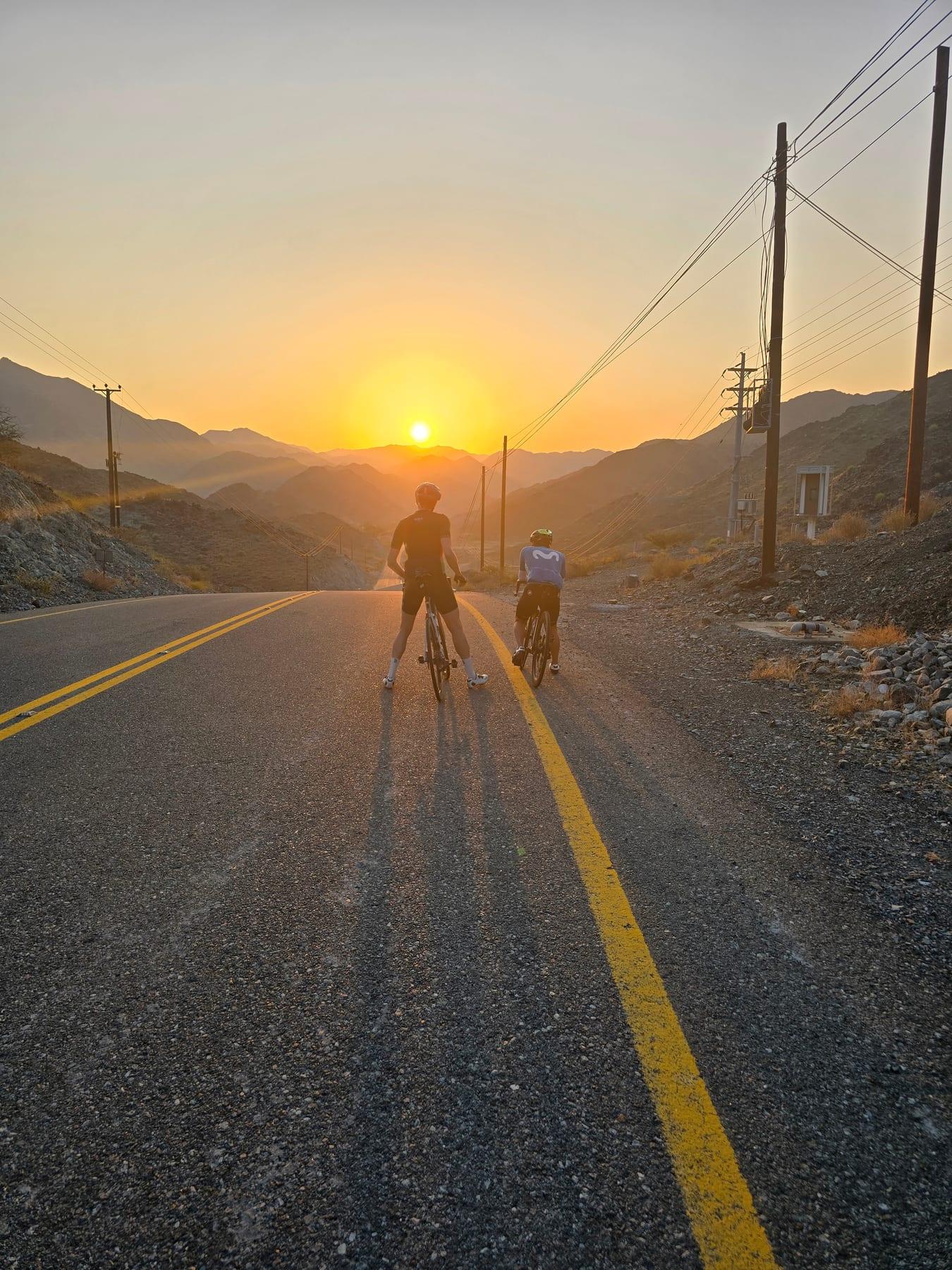
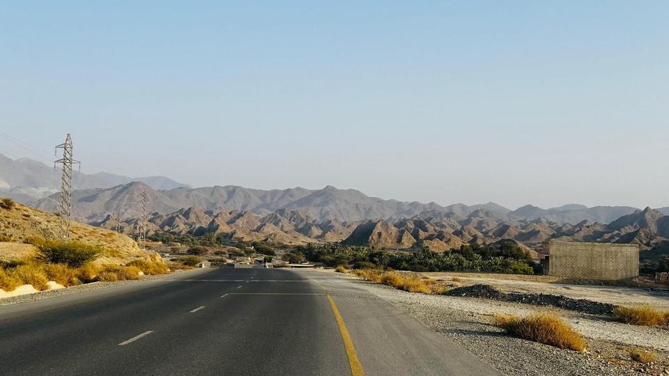
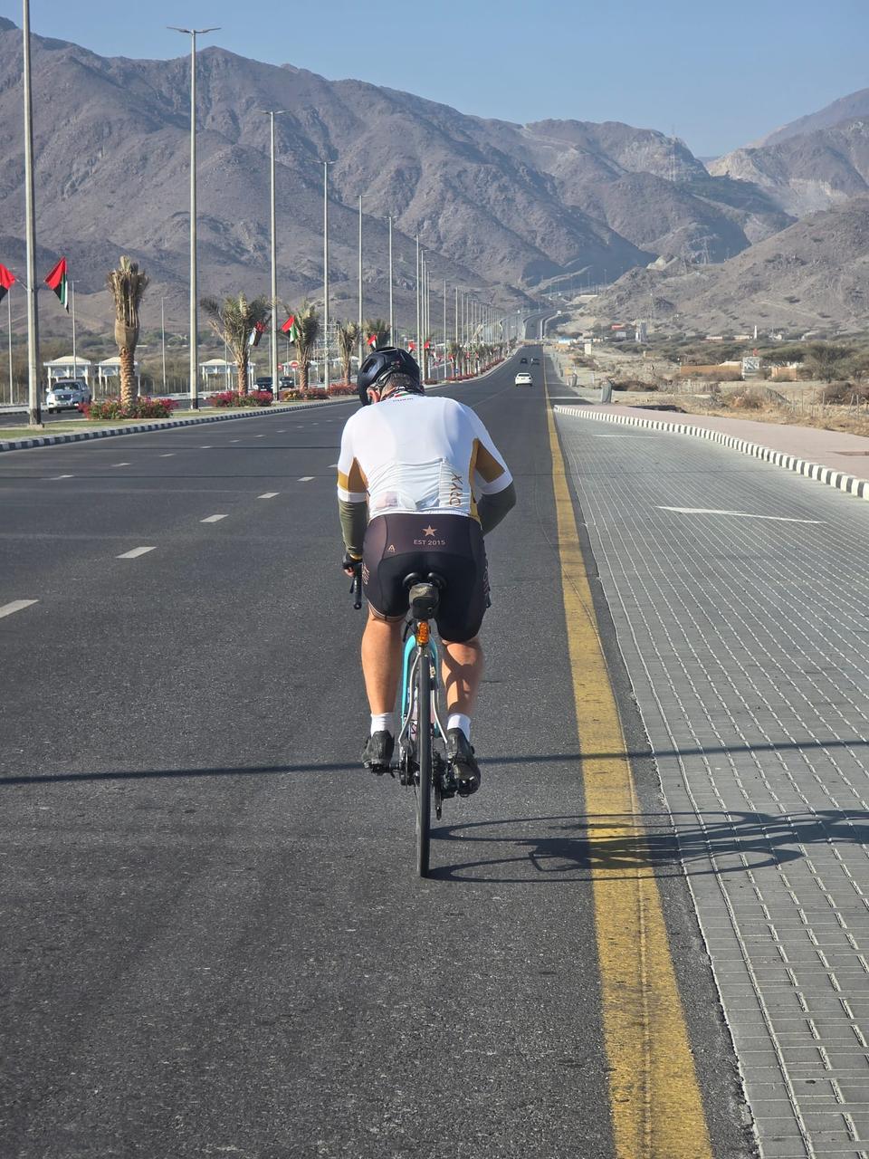
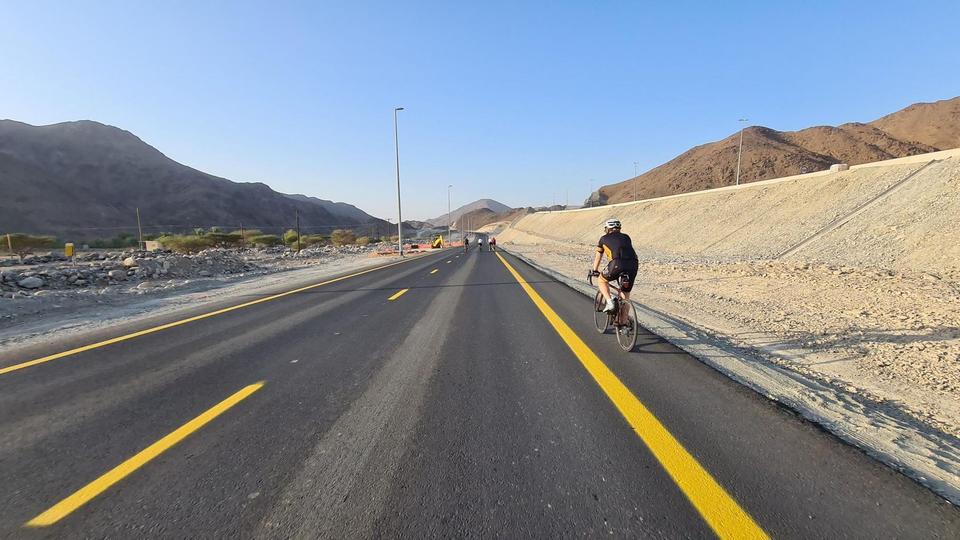
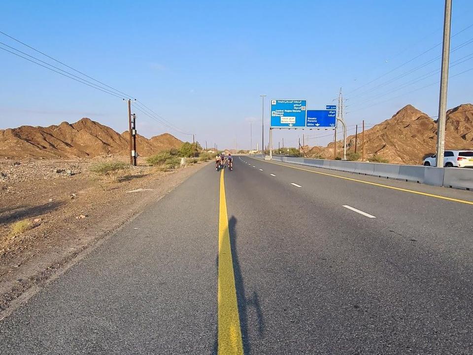
On the road: Munay Loop via Hatta and Al Watan Road

Elevation profile

Total ascent
874 m
Distance
84 km
0100200300400500m0 km20406084 km456 m · highest, at 44.0 kmStartFinish · back at the start

Route overview

Cyclists suited to a medium-distance ride with moderate climbing of 868 m.

An 84 km loop ride in the Hajar Mountains, UAE, starting and finishing at Kalba with 868 m elevation gain.

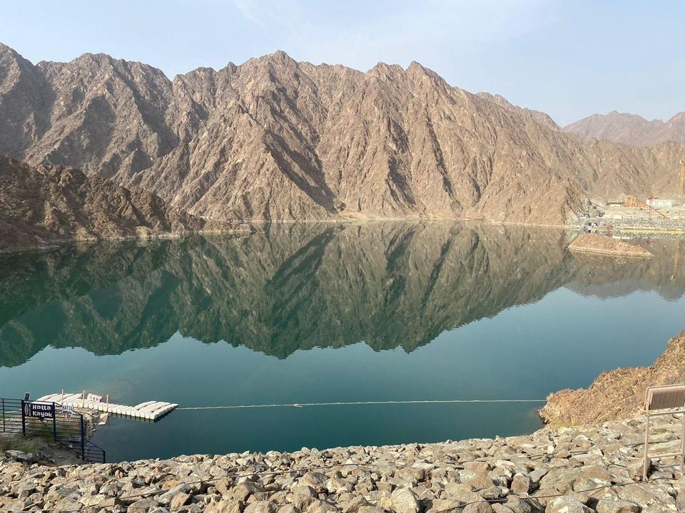
This loop ride begins at Kalba and heads through several settlements including Al 'Ijēlī at 14.6 km, Yaif at 31.8 km, and Al Qor at 34.3 km. The route features multiple climbs in the first half, with gradients mostly between 2.5 and 4.5%, the longest climbing section being 3.6 km at 2.5% starting at 37.9 km. It reaches its highest point at 455 m around 43.5 km, near Jabal Mudayrah and Jabal Laim peaks. The surface is predominantly paved (95%) with a small gravel section (4%). It uses a mix of roads: main roads (50%), motorways (32%), major roads, tracks, quiet streets, and minor roads. There are 74.1 km on main roads without cycle lanes and 26.6 km on roads with speed limits at 80 km/h or more. The ride includes notable roads like Al Watan Road for 15.5 km and E44 for 6.4 km. Facilities are scarce along a 35.3 km stretch from km 15 to 50.3 where no cafés, shops, or water are available. Key refreshment points include cafés near 54.4 km and 62.9 km, convenience stores around 53 km, and petrol stations near 50.3 km and 74.4 km. Toilets and drinking water can also be accessed around 54–63 km. The route passes beneath the peaks of Jabal Mudayrah, Jabal Laim, and Jabal Abu Samasimah before returning to Kalba.

Highlights

  • Climbs up to 8.1% gradient
  • Jabal Mudayrah peak at 472 m near km 46
  • A 35 km stretch without cafés or shops
  • Use of Al Watan Road for 15.5 km

Along the route

Measured from the recorded track and OpenStreetMap.

Places passed

  1. Al 'Ijе̄lī 14.6 km
  2. Yaif 31.8 km
  3. Al Qor 34.3 km
  4. Sha'biyyat Milāḩ 35.2 km
  5. Hayl 59.2 km
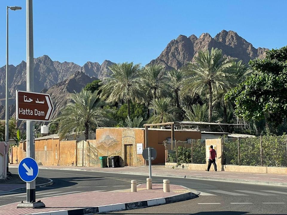
  6. Hatta 60.2 km
  7. Sufayri 62.3 km
  8. As Simsimānīyah 71.9 km
  9. Huwaylat 74.2 km
  10. Sikhе̄bar 79 km
  11. Al Wa'ab 79.5 km

Climbs

ClimbStarts atLengthGainAverageMaxTop
5.9 km1.7 km63 m3.9 %8.1 %379 m
8 km2.1 km80 m3.9 %7.1 %449 m
17.9 km1.4 km45 m3.3 %6.4 %449 m
27.2 km1.7 km50 m2.9 %5.3 %361 m
35.7 km1.4 km43 m3 %5.4 %318 m
37.9 km3.6 km89 m2.5 %3.4 %401 m
41.7 km1.7 km50 m2.9 %4 %455 m
55.4 km1.7 km42 m2.5 %3.8 %366 m
63.7 km2.4 km84 m3.5 %5.3 %386 m
66.7 km1.2 km54 m4.5 %7.5 %408 m
79.2 km1.6 km44 m2.8 %6.1 %278 m

High point 455 m at 43.5 km; low point 208 m. Passes beneath Jabal Mudayrah, Jabal Laim, Jabal Abu Samasimah.

What this ride is like

Measured from OpenStreetMap along the track and the elevation profile.

Roads
50% main road · 32% motorway · 8% major road · 4% track
Main roads
74.1 km on main roads without a cycle lane — likely busier
Fast roads
26.6 km on roads with a limit of 80 km/h or more
Main roads used
Al Watan Road (16 km), E44 (6 km), Sharjah - Kalba Road (5 km), D30 (5 km)
Surface
Paved throughout
Gradient
27% climbing · 26% descending · 47% flat
Steep sections
2.6 km over 5% · steepest 500 m averages 18% at 0 km
Longest descent
5.6 km from 69 km, dropping 182 m

Along the way

Within a few hundred metres of the track, from OpenStreetMap. Opening hours change — treat this as where to look, not a promise.

Longest stretch without a café, shop or water: 35 km, from 15 km to 50 km.
Food, water and shops

  1. 14.7 kmDrinking water · on the route
  2. 50.3 kmENOC · petrol station · 80 m off route
  3. 53 kmZOOM · convenience store · 100 m off route
  4. 53.8 kmHatta Pharmacy LLC. · pharmacy · 40 m off route
  5. 54.2 kmDrinking water · 150 m off route
  6. 54.2 kmToilets · 130 m off route
  7. 54.4 kmCafé · on the route
  8. 58.5 kmStones and eagles cafe · kiosk · 40 m off route
  9. 62.9 kmAl Yamm Cafe · café · 70 m off route
  10. 63 kmToilets · 90 m off route
  11. 74.4 kmADNOC · petrol station · 40 m off route
  12. 74.5 kmnaseem al howailat · supermarket · 70 m off route

Worth a stop

  • 54 kmLeem Rest Area (picnic site)
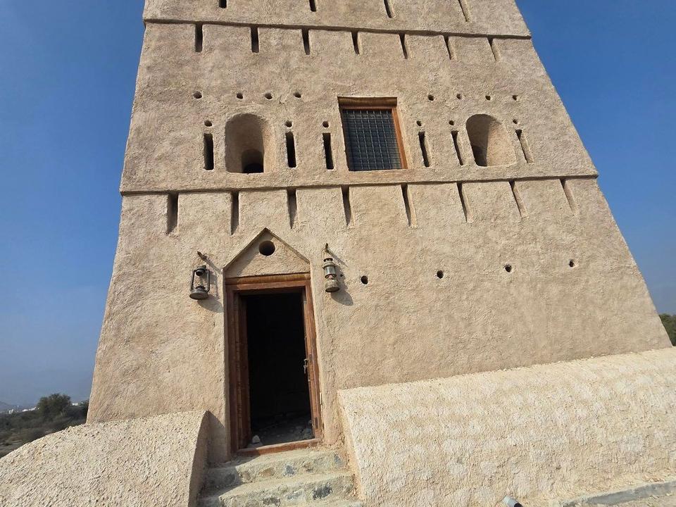
  • 60.3 kmTower (viewpoint)

Practical information

Surface
Mixed
Route shape
Loop
Riding time
3–4½ hours riding
Season
Nov
Best months
Dec to Feb — daily highs of 24–26 °C in those months

Know before you go

  • 35.3 km without café, shop or water between km 15 and 50.3
  • 74.1 km on main roads without cycle lanes
  • 26.6 km on roads with speed limits 80 km/h or more
  • 4% of the route on gravel or unpaved surfaces

Routes are for inspiration. Roads, surfaces and conditions change — check locally and ride within your limits.

More rides from Kalba