Road · United Kingdom
A rolling 13 km road cycling route from Kirkintilloch, East Dunbartonshire through Milton of Campsie, Lennoxtown and Ballagan Farm, with 56 m of climbing. 96% is on cycle paths or roads with a cycle lane.
This mostly flat route runs from Kirkintilloch to Strathblane, covering 12.8 km with 56 m of elevation gain. The lowest point is 36 m at 1 km, and the highest 93 m near km 11.9. The first half includes 42% of the climbing. Nearly all the route (98%) is paved, with 96% on a cycle path. It crosses or passes the places Barleybank, Milton of Campsie (3 km), Lennoxtown (5.7 km), Ballagan Farm (11.1 km), before reaching Strathblane at 12.8 km.
Along the way, the route passes close to the peaks of Gallow Hill at 4.2 km and Dunglass at 11.5 km. Services near the start include various fast food outlets, restaurants, a café, and a supermarket in Kirkintilloch. At 2.9 km, the Antermony Road Co-op supermarket is accessible, and the Commercial Inn pub, petrol station, and bike shop are close to Lennoxtown at 5.7 km. Beyond 6 km until near the finish, there is a 6.7 km stretch without cafés, shops, or water. At Strathblane, near the finish, there is a supermarket and pharmacy.
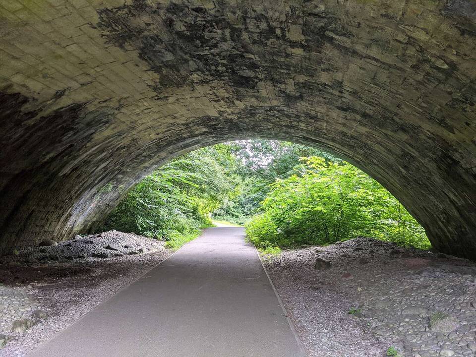
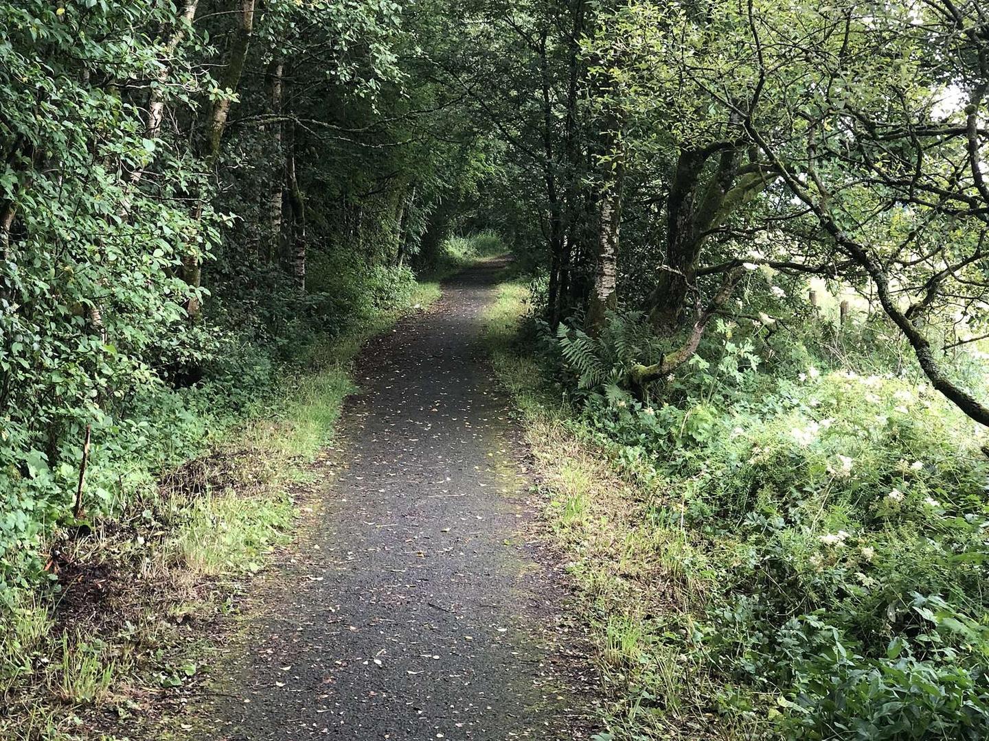
The surface is predominantly cycle path with nearly no gravel or unpaved sections. There are minimal steep gradients over 5%, just 0.1 km. The route runs on minor roads with no named long roads and corresponds mostly to a paved cycle path.
Much of the route is separated from traffic: 96% is on cycle paths or roads with a cycle lane.
No stretch is longer than 15 km without a café, shop or water. Along the route: 35 cafés and restaurants, 10 shops, 1 petrol station and 1 bike shop.