Road · United Arab Emirates
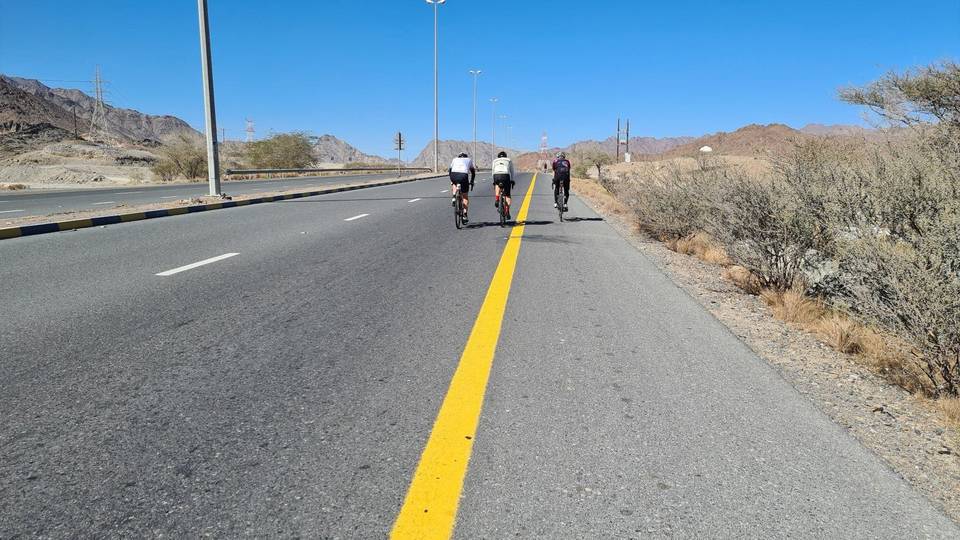
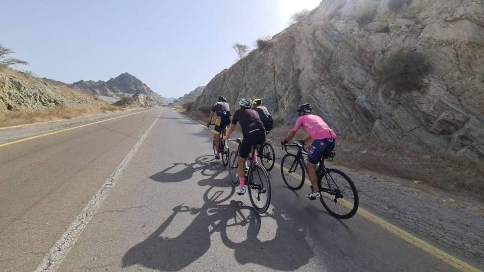
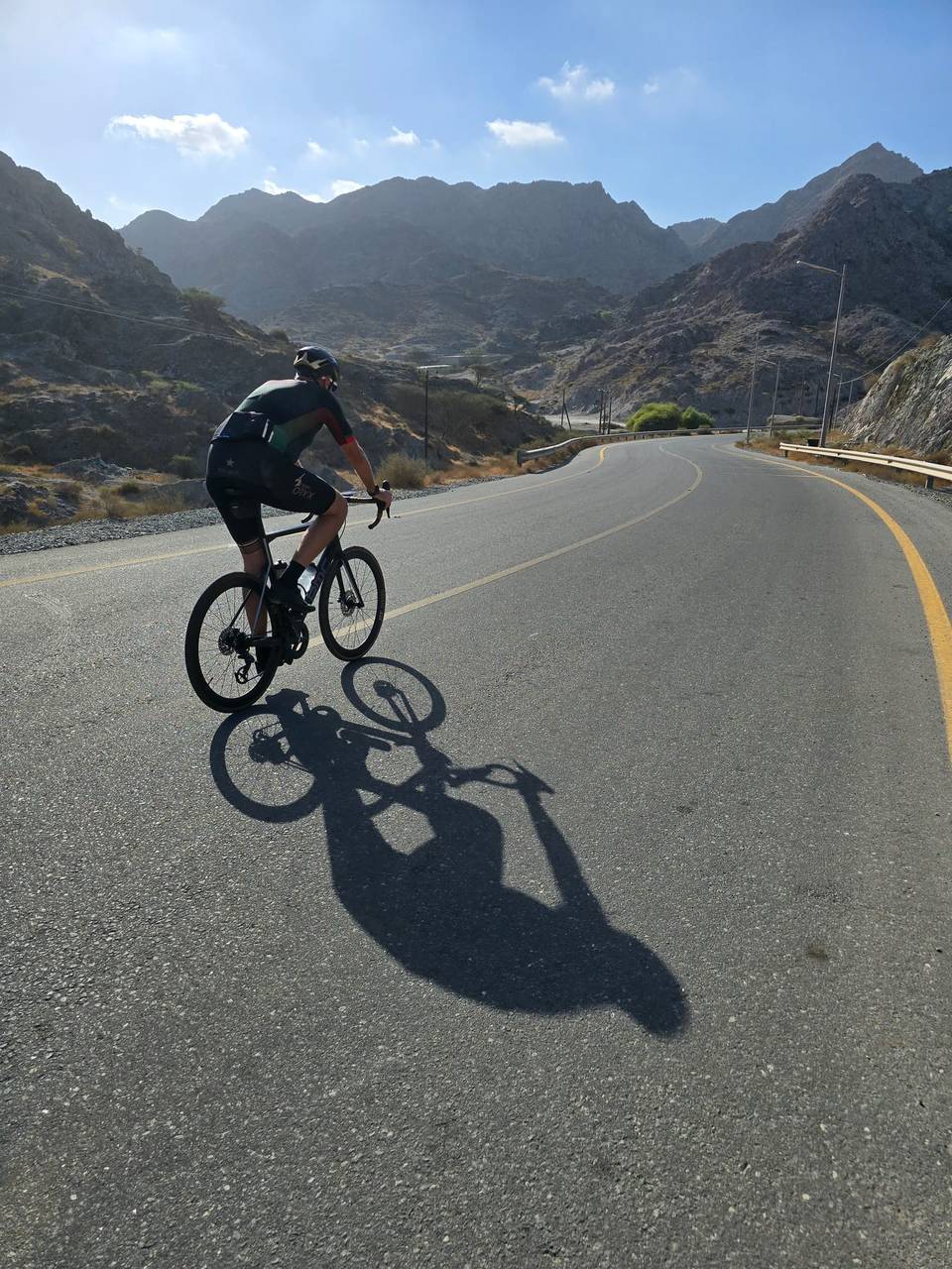
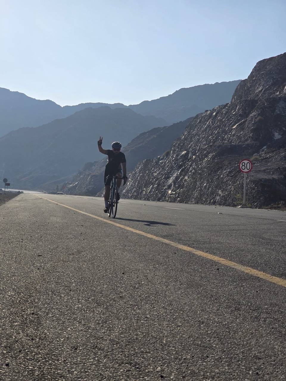
A hilly 112 km road cycling loop from Masafi, Fujairah through Al Baha, Al Rifa and Dibba Al Fujairah, with 1,296 m of climbing over Dibba Al-Hisn. Most of it (102.7 km) is on main roads without a cycle lane, 69 km where the limit is 80 km/h or more.
Starting from Masafi at about 0.5 km, the route heads through Al Baha and Al Khalabiya before reaching Dibba Al Fujairah at 38.8 km. The initial climb is 1.1 km long with an average gradient of 3.8%, gaining 42 m to 494 m height. The road surface is mostly paved (97%) with no gravel, and the majority (91%) is on major roads. The route covers 102.7 km on main roads without cycle lanes and 69 km on roads with speed limits of 80 km/h or above.
Cyclists continue through Khor Fakkan around 74 km where the altitude drops to 3 m at 75.3 km. Further climbs include a 13.3 km gradual ascent averaging 4.6%, peaking at 642 m near 97.7 km, followed by smaller climbs. There are many small settlements en route like Al Murabah and Sharm, with bike shops near km 69. There are several cafés and shops along the way, but note the longest stretch without cafés, shops or water is 17.8 km from km 4.5 to 22.3. Toilets and petrol stations are available at various points around the route.
Notable peaks near the road include Aqabat al Hadid at 171 m near 43 km and Jabal al Habil at 288 m near 62.4 km. The ride is a mix of mostly flat and gentle climbing sections with some steeper parts over 5% lasting 5.8 km and a maximum gradient over 10% briefly. The largest continuous descent lasts 5.2 km between 103.7 km and the finish.
| Climb | Starts at | On this ride | Full ascent | Top on this ride |
|---|---|---|---|---|
| Unnamed climb | 0 km | 1.1 km · 42 m · 3.8 % · max 8 % | — | 494 m |
| Unnamed climb | 77.7 km | 1.7 km · 56 m · 3.3 % · max 5.5 % | — | 70 m |
| Dibba Al-Hisn | 84.3 km | 13.3 km · 614 m · 4.6 % · max 10.2 % | 11.1 km · 657 m · 5.9 % | 642 m |
| Unnamed climb | 100 km | 2.4 km · 76 m · 3.2 % · max 6.1 % | — | 641 m |
| Unnamed climb | 107.5 km | 3.5 km · 88 m · 2.5 % · max 3.4 % | — | 450 m |
This is not a cycle-track route: 91% is on main roads without a cycle lane, 69 km of it where the limit is 80 km/h or more. Riders should be comfortable sharing the road with faster traffic.
The longest stretch without a café, shop or water is 18 km, from km 5 to 22. Along the route: 57 cafés and restaurants, 32 shops, 1 water point, 13 petrol stations, 6 public toilets and 1 bike shop.