Cyclists.com

Nazwa to Al Aqah

Nazwa, Sharjah, United Arab EmiratesRoad

Route contributed by Marcus · Ridden on Friday 26th February 2021

166 km
Distance
999 m
Elevation gain
Hard
Difficulty
Paved
Surface
Download GPXMap
On the road: Nazwa to Al Aqah

Elevation profile

Total ascent
999 m
Distance
166 km
0100200300400500600m0 km50100166 km488 m · highest, at 64.4 kmStartFinish

Route overview

This long 166 km ride with 841 m climbing suits experienced cyclists comfortable with a majority on fast main roads.

165.7 km ride from Nazwa to Al Aqah through the Hajar Mountains, UAE, with 841 m climbing.

Starting from Nazwa, the route heads through several places including Al Dafain, Musseili, and Munay, passing beneath peaks like Qarn Nazwa at the start and Jabal Al Hinnah around 58 km. The first half features most of the 841 m elevation gain, including climbs from 54.8 km to 58.4 km gaining 99 m at 3.2% average gradient and from 59.9 km to 63.5 km with 104 m at 2.9%. The highest point is at 488 m near 63.7 km, followed by the longest descent of 6.9 km dropping 175 m starting at 64.5 km. Later in the ride, gentler climbs up to 3.7% occur near 81.7 km and 92.2 km. The route is mostly paved (97%) and runs largely on major roads (36%), main roads (29%), and motorways (26%). These roads have 149.8 km without cycle lanes and include 74.8 km of 80 km/h or faster roads. Named roads include Sharjah - Kalba Road for 42.4 km and others to the finish. Services at the start include supermarkets and restaurants. There is a very long stretch without a café, shop or water of 55.7 km between 39.9 km and 95.6 km, but places for food, fuel and shops become more frequent approaching Al Aqah where restaurants and eateries are present.

Highlights

  • Climbing past Jabal Al Hinnah (637 m) near 58 km
  • Longest descent of 6.9 km from 64.5 km dropping 175 m
  • Passing below Jabal Abu Ziba at 134.5 km
  • Finishing at Al Aqah after 165.7 km
  • Sharjah - Kalba Road for 42.4 km
  • Peak elevation 488 m at 63.7 km

Along the route

Measured from the recorded track and OpenStreetMap.

Places passed

  1. Al Dafain 21.6 km
  2. Sha'biyyat Bahayis 28.9 km
  3. Filli 39.2 km
  4. Musseili 49.3 km
  5. Munay 75.6 km
  6. Al Qilē'ī 81.7 km
  7. Minazif 82.6 km
  8. Al Saaf 103.1 km
  9. Al Ghail 103.1 km
  10. Al Maqt'a 104 km
  11. Al Quala'a 106.8 km
  12. Khawr Kalba 107.2 km
  13. Al Mafraq 107.5 km
  14. Al Nighala 107.8 km
  15. Al Bardi 108.5 km
  16. Al Aoud 108.5 km
  17. Kalba 108.8 km
  18. Al Sidrah 109.1 km
  19. Al Bateen 109.1 km
  20. Al Qadesia 109.1 km
  21. Hitteen 110.1 km
  22. Al Musalla 110.1 km
  23. Al Khuwair 110.1 km
  24. Dhyatt 110.4 km
  25. Al Mughaider 111.1 km
  26. Al Mahatta 111.1 km
  27. Al Bhaies 111.4 km
  28. A'quola 111.4 km
  29. Darweshia 111.7 km
  30. Al Husen 112 km
  31. Suhaila 112.3 km
  32. Sour Kalba 113.2 km
  33. Rughaylat 114.8 km
  34. Al Gurfaa 115.8 km
  35. Ghalala 117 km
  36. Safad 117 km
  37. Owaid 117.6 km
  38. Al Faseel 118.9 km
  39. Al Sharia 120.6 km
  40. Al Sharia 1 120.9 km
  41. Al Hilal 121.2 km
  42. Sakamkam 121.2 km
  43. Ishwais 122.6 km
  44. Qurayyah 132.3 km
  45. Sha'biyyāt Qirat 133.6 km
  46. Mirbah 133.9 km
  47. Madha 135.4 km
  48. Al Qadsia 141.6 km
  49. Al Yarmouk 141.9 km
  50. Al Burdi 142.2 km
  51. Al Khaledya 144.1 km
  52. Al Hutain 145.5 km
  53. Al Rifa'a 145.5 km
  54. Khor Fakkan 145.5 km
  55. Al Hayawah 145.8 km
  56. Al Mudaifi 146.8 km
  57. Lulayyah 150.4 km
  58. Zubarah 151.7 km
  59. Al Badīyah 155 km
  60. Nehay 156 km
  61. Haqil 156.3 km
  62. Sharm 158.7 km
  63. Al Aqqah 162.5 km

Climbs

ClimbStarts atLengthGainAverageMaxTop
54.8 km3.1 km99 m3.2 %5.1 %379 m
59.9 km3.6 km104 m2.9 %5.8 %483 m
81.7 km1.9 km70 m3.7 %14.6 %309 m
92.2 km2.3 km54 m2.3 %3.3 %240 m

High point 488 m at 63.7 km; low point 1 m. Passes beneath Qarn Nazwa, Jabal Al Hinnah, Jabal Ash Shahayrah.

What this ride is like

Measured from OpenStreetMap along the track and the elevation profile.

Roads
36% major road · 29% main road · 26% motorway · 3% quiet street
Main roads
149.8 km on main roads without a cycle lane — likely busier
Fast roads
74.8 km on roads with a limit of 80 km/h or more
Main roads used
Sharjah - Kalba Road (42 km), Port Road (10 km), Dibba-Khor Fakkan Road (6 km), Kalba Beach Road (6 km)
Surface
Paved throughout
Gradient
11% climbing · 12% descending · 77% flat
Steep sections
1.6 km over 5% · 1.4 km over 8% · 1.2 km over 10% · steepest 500 m averages 11.6% at 88.9 km
Longest descent
6.9 km from 64.5 km, dropping 175 m

Along the way

Within a few hundred metres of the track, from OpenStreetMap. Opening hours change — treat this as where to look, not a promise.

Longest stretch without a café, shop or water: 56 km, from 40 km to 96 km.
Food, water and shops

  1. 0.3 kmDesert Mountain Supermarket · supermarket · 190 m off route
  2. 11.9 km2 December Cafeteria · café · 80 m off route
  3. 39.9 kmDrinking water · 50 m off route
  4. 60.9 kmToilets · on the route
  5. 96.1 kmHabib Beirut · restaurant · 100 m off route
  6. 101.6 kmToilets · 80 m off route
  7. 110.8 kmPizza Hut · restaurant · 60 m off route
  8. 115.2 kmCafe Di Roma · café · 60 m off route
  9. 116.8 kmBike rental · 140 m off route
  10. 118.4 kmBin Moosa Pharmacy · pharmacy · 70 m off route
  11. 121.3 kmZOOM · convenience store · 110 m off route
  12. 137.8 kmAl Madha Petrol · petrol station · 120 m off route
  13. 145.7 kmBaskinRobbins · ice cream · 100 m off route
  14. 146 kmAl Safeer Centre · supermarket · 190 m off route
  15. 148.1 kmADNOC · petrol station · on the route
  16. 150.3 kmBike shop · 30 m off route
  17. 155.2 kmIce Palace · restaurant · 70 m off route
  18. 155.5 kmToilets · 40 m off route

Need to bail out?

  • 122 kmFujairah Station (station), 560 m off route

Whether bikes are carried depends on the service — check before relying on it.

Worth a stop

  • 96.1 kmHanging Garden Kalba (attraction)
  • 112.1 kmKalba Fort (castle)
  • 115.9 kmBull fighting (Bullring) (attraction)
  • 146.9 kmKhorfakkan Beach (picnic site)
  • 155.5 kmAl Badiyah Fort (castle)

At the start

  • Nazwa Valley Grocery · supermarket · 290 m
  • Desert Mountain Supermarket · supermarket · 310 m
  • Al Fareed Restaurant · restaurant · 160 m
  • Ghadeer Saeed Café & Restaurant · restaurant · 250 m

At the finish

  • estacoza seafood · restaurant · 160 m
  • Subway · fast food · 230 m
  • Sapore · restaurant · 250 m

Stay after this ride

  • Fujairah Rotana · hotel · 30 m from the finish
  • Le Meridien Al Aqah Beach Resort · hotel · 240 m from the finish
  • InterContinental Fujairah Resort · hotel · 450 m from the finish
  • Miramar Al Aqah Beach Resort · hotel · 900 m from the finish
  • Naama · hotel · 1.0 km from the finish

Practical information

Surface
Paved
Route shape
Point to point
Riding time
5½–7½ hours riding
Season
February with temperatures around 22 °C.
Best months
Dec to Feb — daily highs of 25–27 °C in those months

Know before you go

  • Long 55.7 km stretch without café, shop or water (km 39.9 to 95.6)
  • 149.8 km on main roads without cycle lane
  • 74.8 km on roads with 80 km/h or more speed limit

Routes are for inspiration. Roads, surfaces and conditions change — check locally and ride within your limits.

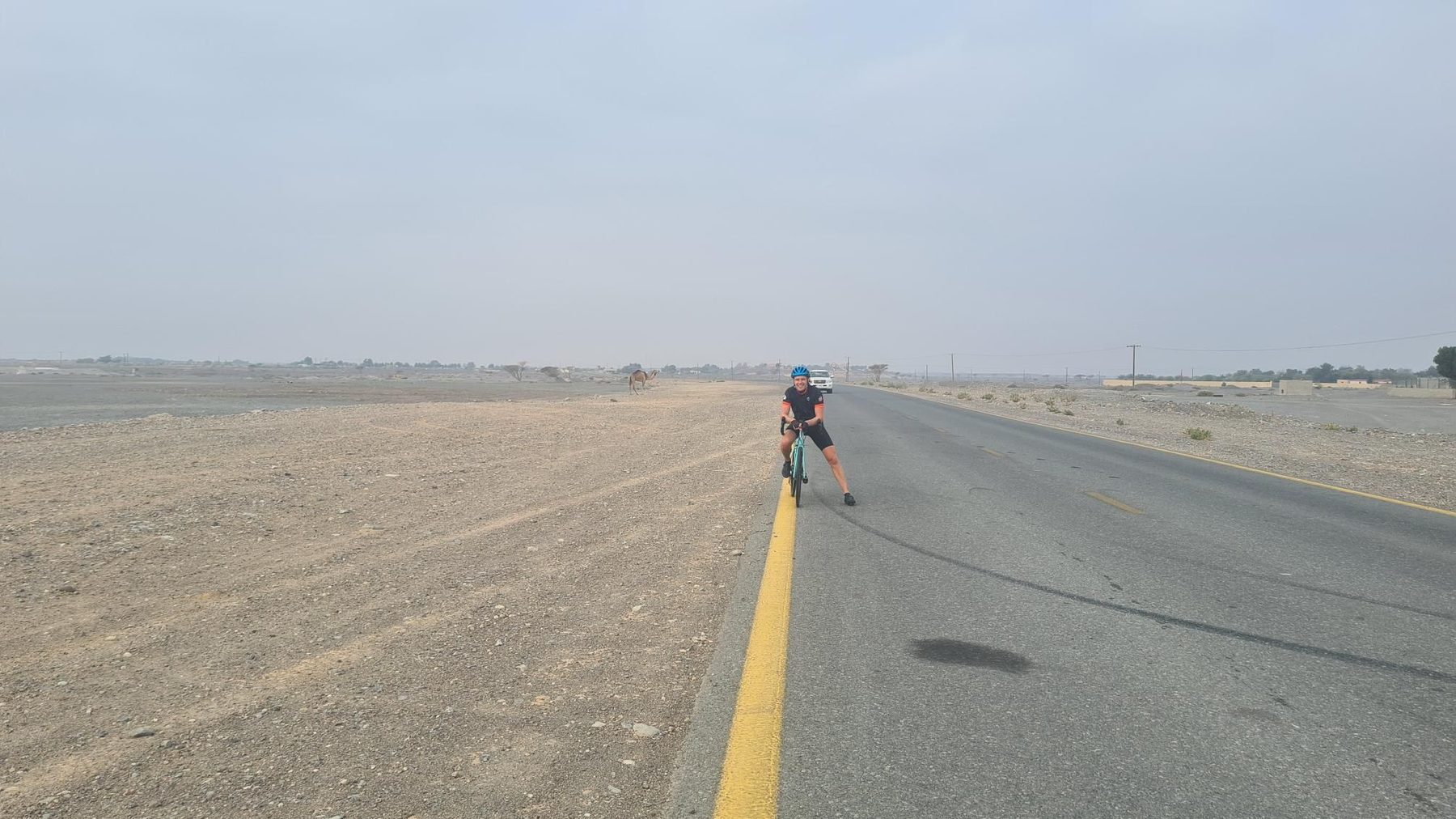
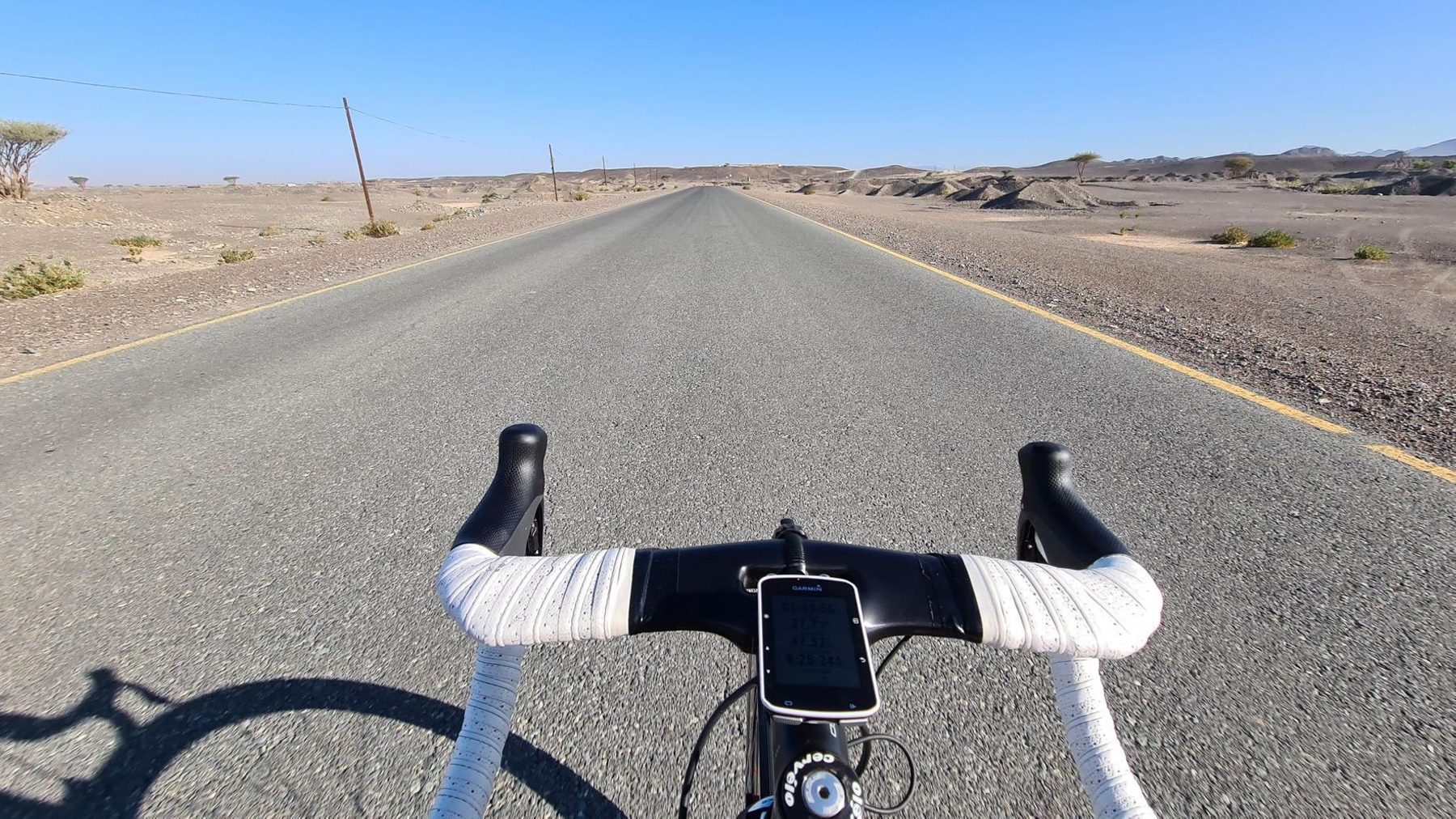
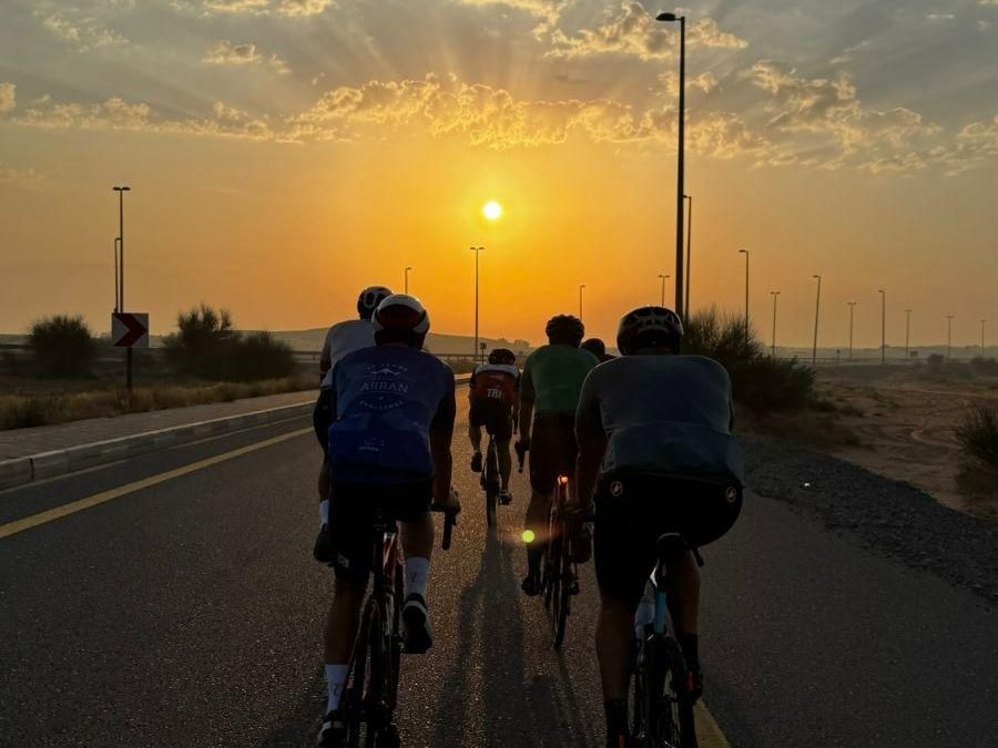
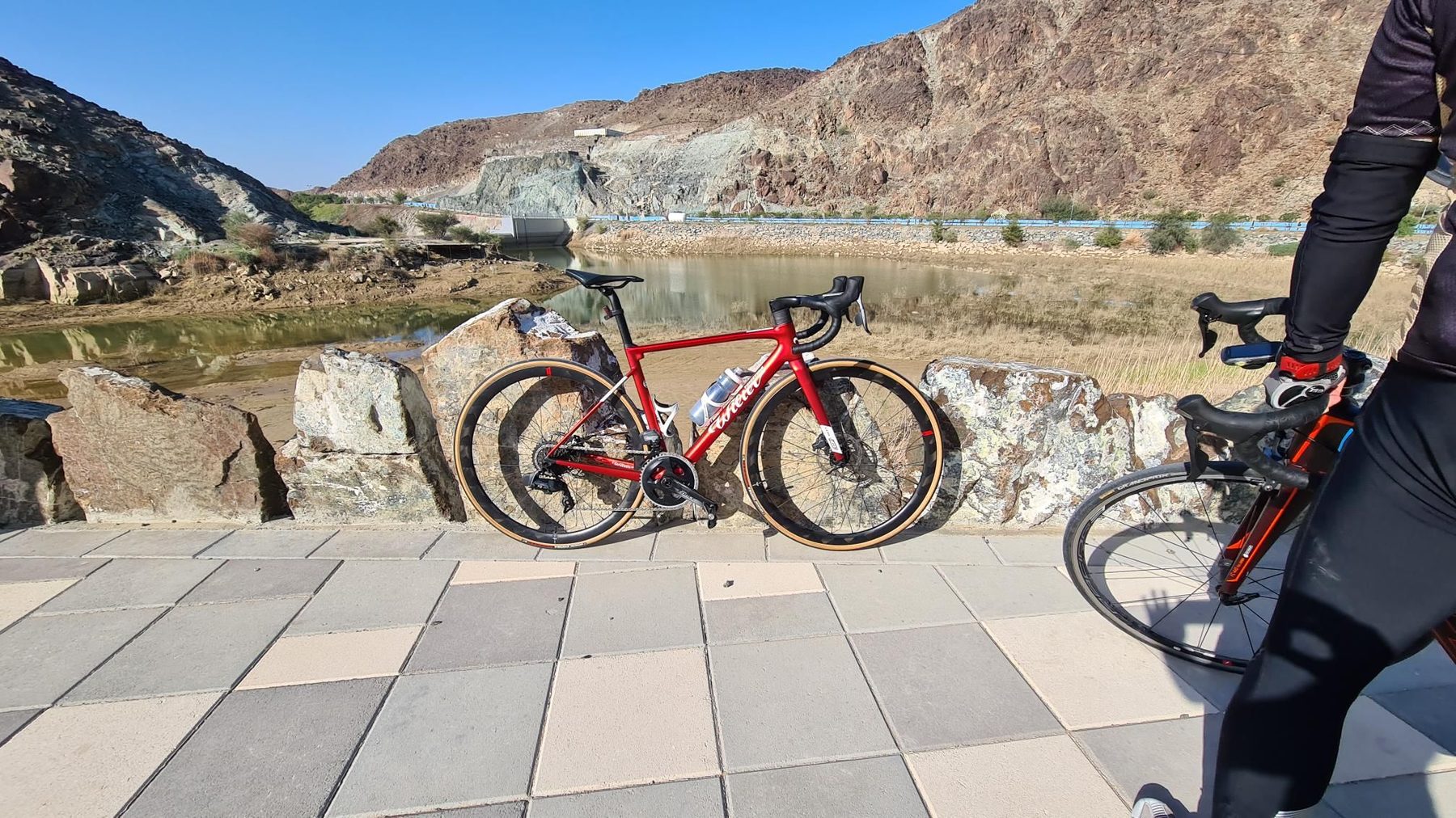
6 photographs from the road

More rides from Nazwa