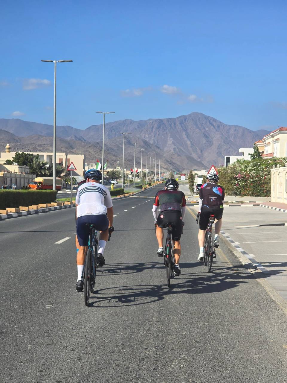
Road · United Arab Emirates
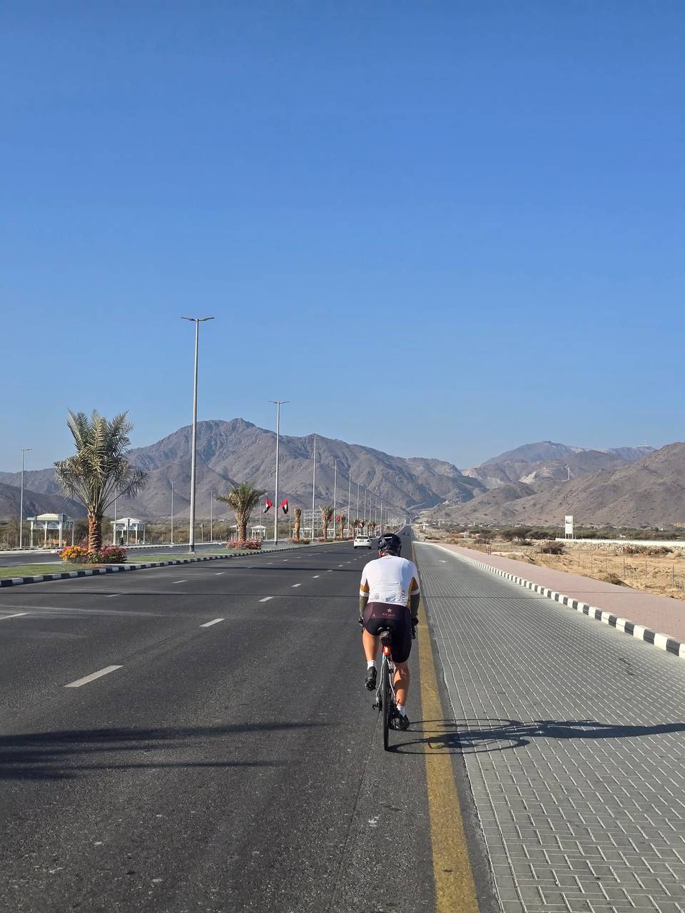
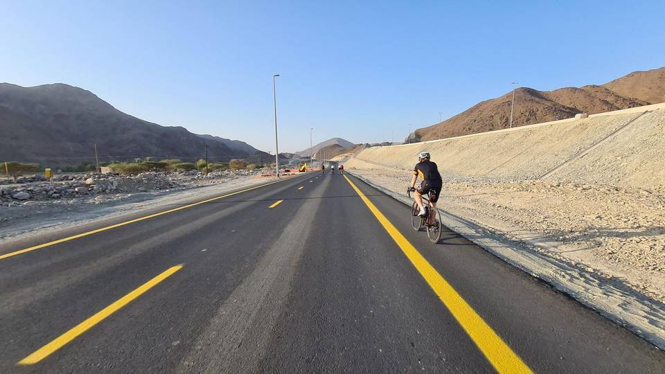
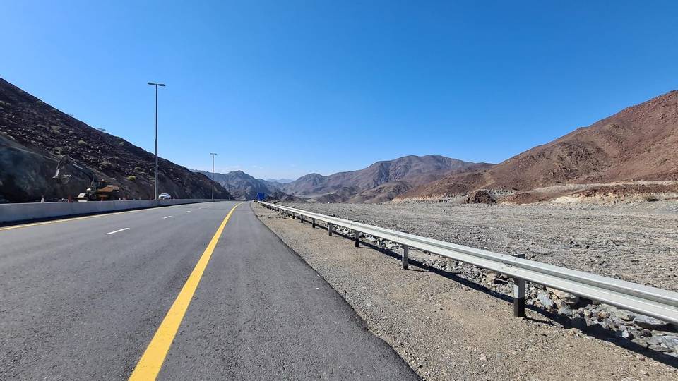
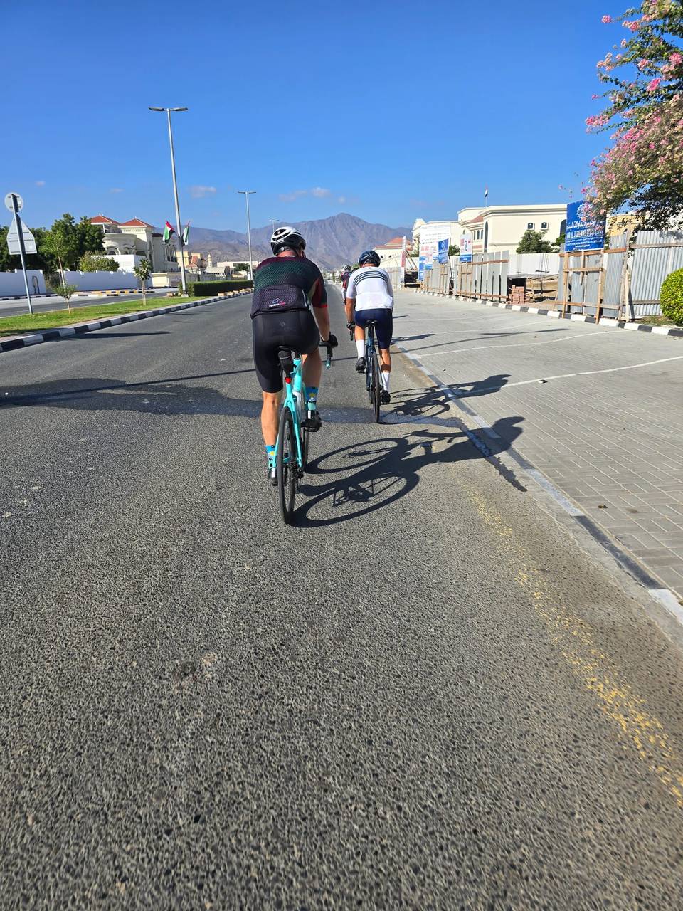
A mountainous 52 km road cycling loop from Fujairah through Fayyad, Al Uqdah and Minazif, with 992 m of climbing over the Harrah climb and Jabal Al Khasfah. Most of it (42.6 km) is on main roads without a cycle lane, 16.4 km where the limit is 80 km/h or more. The first 30 km has no café, shop or water.
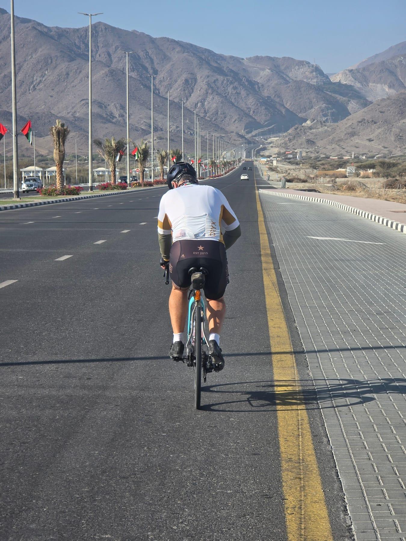
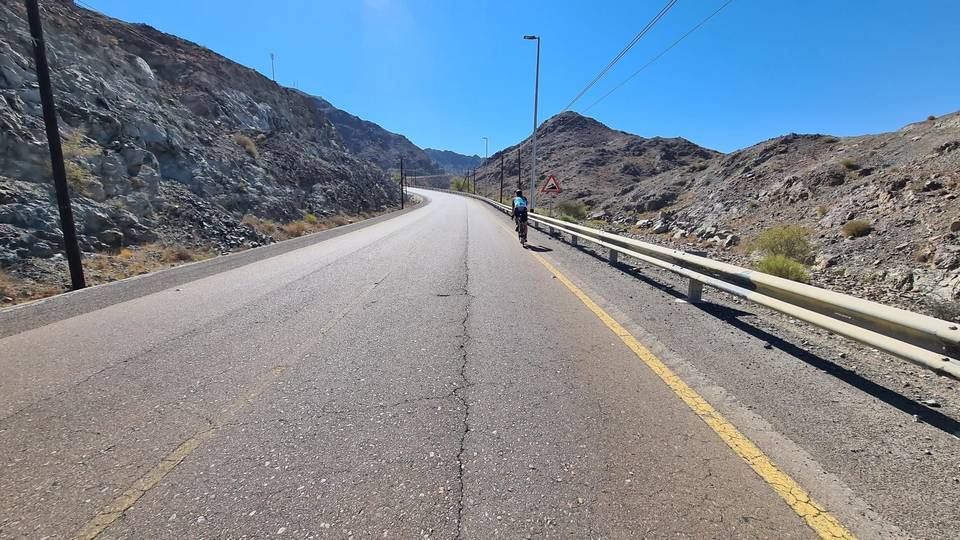
The route starts in Al Fujayrah and heads to Fayyad at 2.5 km, then on to Al Uqdah at 21.9 km. The initial 8.5 km includes several climbs, including a 2.7 km ascent gaining 202 m at 7.5% average gradient with a maximum of 29.3%. After reaching 530 m elevation at 8.5 km, there is a longest descent of 8.5 km dropping 224 m to 3 m elevation by 30.7 km.
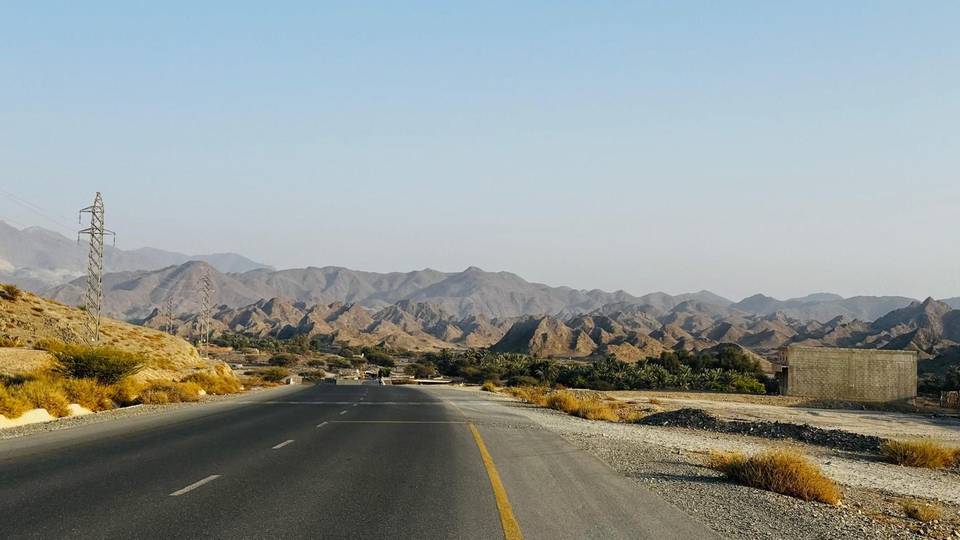
The route continues through Al Ghail, Al Saaf, Minazif, and Al Qilē'ī before returning to Al Fujayrah. It is mostly paved (91%) with 3% gravel or unpaved, and 6% unmapped surface. The roads include 37% motorway and 37% main roads, with 42.6 km of main roads lacking cycle lanes and 16.4 km on roads with posted limits of 80 km/h or more. Notable climbs later include a 4 km climb gaining 253 m at 6.3% and shorter climbs up to 7.2%. The route is a loop starting and finishing at Al Fujayrah.
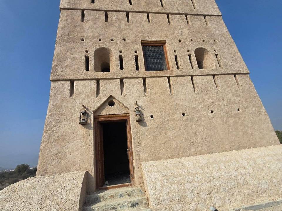
There is a long 29.9 km stretch at the start with no café, shop, or water available. After this, around 31 km, there are amenities including a Starbucks café, Habib Beirut restaurant, a petrol station (ADNOC), and toilets. The Hanging Garden Kalba attraction is nearby. The route is best ridden in December with recorded temperatures around 25 °C.
| Climb | Starts at | On this ride | Full ascent | Top on this ride |
|---|---|---|---|---|
| Unnamed climb | 0.6 km | 1.3 km · 45 m · 3.4 % · max 5.1 % | — | 275 m |
| Unnamed climb | 3.6 km | 1.5 km · 45 m · 3 % · max 5.3 % | — | 323 m |
| Harrah climb | 5.8 km | 2.7 km · 202 m · 7.5 % · steepest 500 m 9.7 % | 3.1 km · 158 m · 5.1 % | 530 m |
| Unnamed climb | 14.8 km | 1.6 km · 56 m · 3.6 % · max 6.3 % | — | 238 m |
| Jabal Al Khasfah | 34.1 km | 4 km · 253 m · 6.3 % | 4.2 km · 273 m · 6.4 % | 278 m |
| Unnamed climb | 43.4 km | 1.3 km · 93 m · 7.2 % · max 13.1 % | — | 268 m |
| Unnamed climb | 46.3 km | 3.5 km · 132 m · 3.8 % · max 8.4 % | — | 314 m |
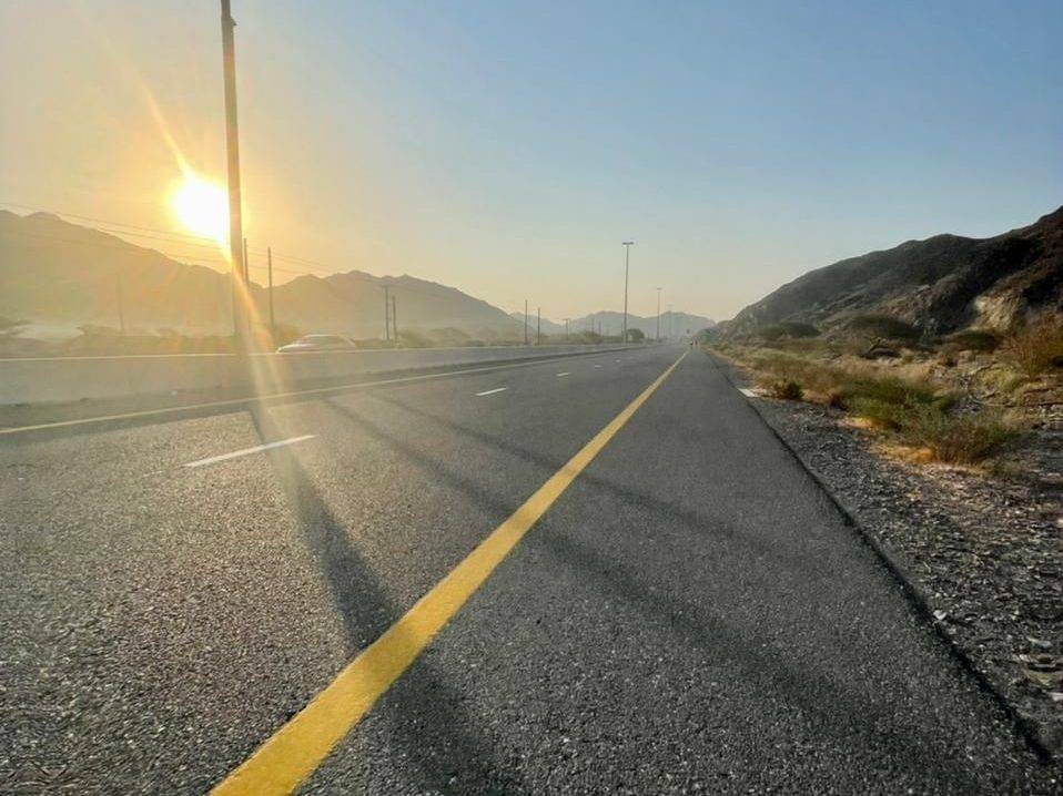
This is not a cycle-track route: 82% is on main roads without a cycle lane, 16.4 km of it where the limit is 80 km/h or more. Riders should be comfortable sharing the road with faster traffic.
The longest stretch without a café, shop or water is 30 km, from the start. Along the route: 7 cafés and restaurants, 1 petrol station and 1 public toilet.