Road · United Arab Emirates
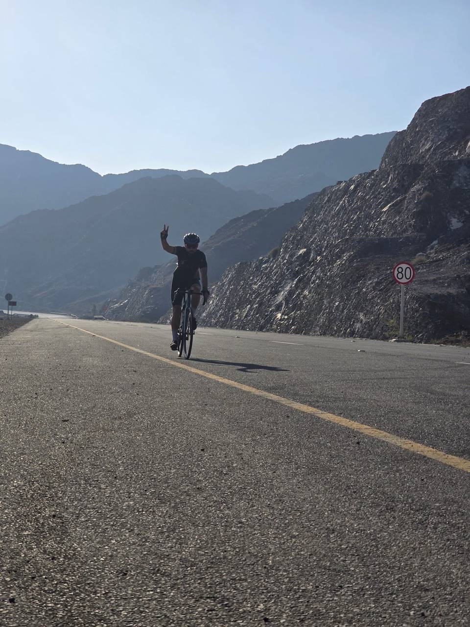
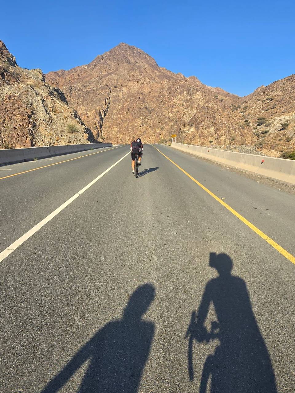
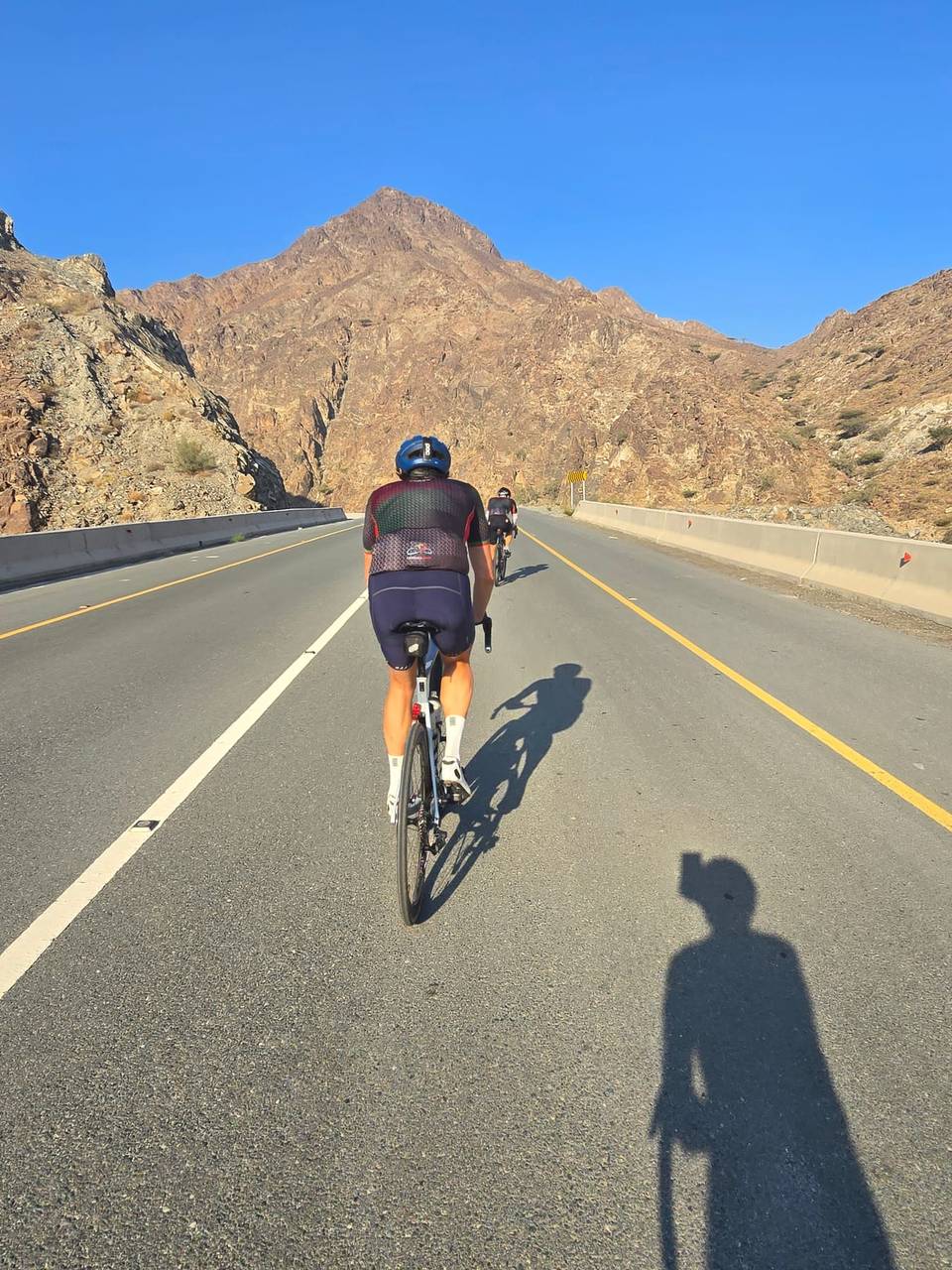
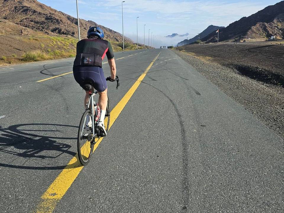
A hilly 84 km road cycling loop from Khor Fakkan, Sharjah through Ar Rufaysah, Madha and Sa‘d, with 1,257 m of climbing over the Madha climb and Jabal Half. Most of it (68.2 km) is on main roads without a cycle lane, 23.4 km where the limit is 80 km/h or more. There is a 35 km stretch without a café, shop or water (km 10–45).
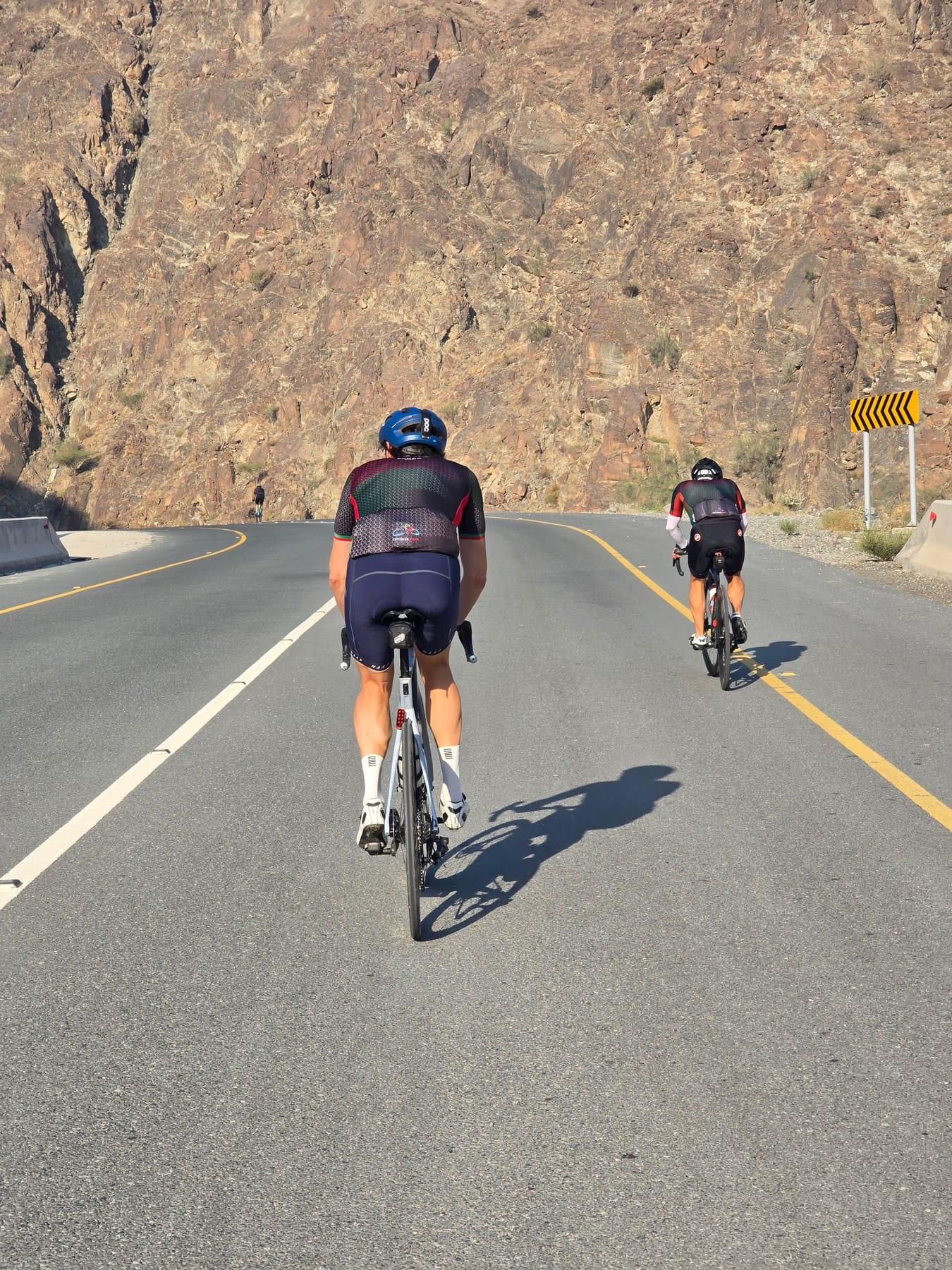
This 84 km loop ride starts and finishes in Khor Fakkan, passing through places such as Ar Rufaysah at 2.1 km, Al Qadsia at 5 km, Madha at 13 km, and Nahwa at 22.3 km. The route covers a mix of main roads, major roads, quiet streets, and minor roads, with 97% paved surfaces. Notable climbs include a 6.9 km ascent from 14.3 km gaining 197 m at 2.9% average gradient, a steeper 4.7 km climb from 23.3 km rising 228 m at 4.8%, and a longer 10.6 km climb starting at 65.4 km with an average of 4.9% and max 13.5%, reaching the highest point at 547 m near 76 km.
| Climb | Starts at | On this ride | Full ascent | Top on this ride |
|---|---|---|---|---|
| Madha climb | 14.3 km | 6.9 km · 197 m · 2.9 % · max 5.8 % | 6.9 km · 197 m · 2.9 % | 261 m |
| Jabal Half | 23.3 km | 4.7 km · 228 m · 4.8 % · max 9.5 % | 8.7 km · 354 m · 4.1 % | 419 m |
| Unnamed climb | 33.1 km | 1.9 km · 45 m · 2.4 % · max 3.7 % | — | 401 m |
| Unnamed climb | 51.8 km | 2 km · 57 m · 2.8 % · max 5 % | — | 71 m |
| Unnamed climb | 65.4 km | 10.6 km · 517 m · 4.9 % · max 13.5 % | — | 547 m |
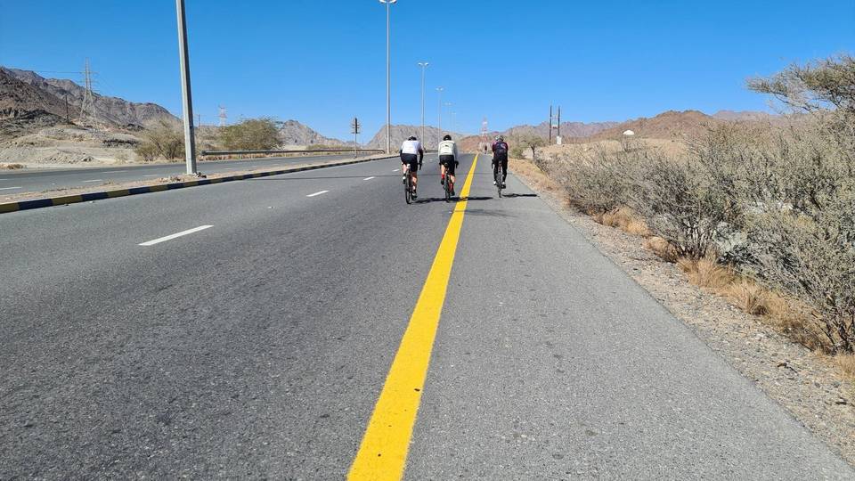
This is not a cycle-track route: 81% is on main roads without a cycle lane, 23.4 km of it where the limit is 80 km/h or more. Riders should be comfortable sharing the road with faster traffic.
The longest stretch without a café, shop or water is 35 km, from km 10 to 45. Along the route: 20 cafés and restaurants, 4 shops, 1 water point, 2 petrol stations and 3 public toilets.