Cyclists.com

National Cycle Route 1: Berwick-Upon-Tweed to Innerleithen

Newtown St Boswells, Scottish Borders, United KingdomRoad

Signed route The waymarked National Cycle Route 1: Berwick-Upon-Tweed to Innerleithen (National Cycle Network), traced from OpenStreetMap and measured against the terrain model; no member has recorded it yet. Ridden it? Add your recording and photos.

34 km
Distance
256 m
Elevation gain
Easy
Difficulty
Paved
Surface
Download GPXMap

Elevation profile

Total ascent
256 m
Distance
34 km
050100150200m0 km102034 km182 m · highest, at 23.9 kmStartFinish

Route overview

Suitable for cyclists comfortable with moderate climbs over 33.7 km distance.

National Cycle Route 1 from Newtown St Boswells to Innerleithen in the Scottish Borders, 33.7 km with 256 m elevation gain.

The route starts at Holmes Farm near Newtown St Boswells and travels through several places including Melrose, Tweedbank, and Walkerburn before finishing at Innerleithen. The profile features two main climbs: the first from km 1 to 2.2 rises 47 m at an average gradient of 4.1%, and another climb from km 12.9 to 14.3 with a gain of 41 m at 3% average gradient. The highest point is at 182 m near km 23.8, and the lowest is 89 m near km 5.2. Around 21% of the route is climbing, 18% descending, and 60% flat, with only 0.4 km over 5% gradient and 0.1 km over 8%. Most surfaces (89%) are paved, with 10% gravel or unpaved, and 1% unmapped. Road types include 15.2 km minor roads, 6.6 km main roads, 5.4 km cycle paths, 3.1 km tracks, 1.9 km quiet streets, and 1.1 km paths. Main roads without cycle lanes total 6.8 km, and 14.5 km is on roads with speed limits of 80 km/h or more. The longest named road covered is the B7060 for 3.2 km. Services at the start include the Dryburgh Arms pub and a Co-op Food store. Food and drink options along the route include the Twelve Triangles bakery near Melrose and Ochiltree's restaurant near Newstead. There is a long 18.4 km stretch without café, shop, or water from km 11.6 to 30. Water points are available at km 5.3, 11.6, and 32.4. Bicycle shops are at Melrose and Innerleithen, and petrol stations near km 1.2 and 7.5. A railway station for bailout is near Tweedbank at km 8.1.

Highlights

  • Start near Newtown St Boswells
  • Passes Melrose and Tweedbank
  • Climbs with max gradient 5.3%
  • Finish at Innerleithen with cafes and bike shop

Along the route

Measured from the recorded track and OpenStreetMap.

Places passed

  1. Newstead 3.5 km
  2. Melrose 5 km
  3. Gattonside 5.6 km
  4. Darnick 6.8 km
  5. Tweedbank 8.4 km
  6. Bridgend 8.6 km
  7. Netherbarns 10.5 km
  8. Faldonside Stables 11.6 km
  9. Boleside 11.8 km
  10. The Rink 13.8 km
  11. Fairnilee 16.5 km
  12. Yair 17.4 km
  13. Caddonfoot 19.5 km
  14. Peel 21.1 km
  15. Glenbenna 29 km
  16. West Bold 29.3 km
  17. Walkerburn 30 km

Climbs

ClimbStarts atLengthGainAverageMaxTop
1 km1.2 km47 m4.1 %5.3 %158 m
12.9 km1.4 km41 m3 %4.2 %142 m

High point 182 m at 23.8 km; low point 89 m. Passes beneath Quarry Hill, Touting Birks Hill, Rink Hill.

What this ride is like

Measured from OpenStreetMap along the track and the elevation profile.

Roads
45% minor road · 20% main road · 16% cycle path · 9% track
Main roads
6.8 km on main roads without a cycle lane — likely busier
Fast roads
14.5 km on roads with a limit of 80 km/h or more
Cycle paths
5.4 km on cycle paths or roads with a cycle lane
Main roads used
B7060 (3 km)
Surface
Paved throughout
Gradient
21% climbing · 18% descending · 60% flat
Longest descent
2.2 km from 2.9 km, dropping 61 m

Along the way

Within a few hundred metres of the track, from OpenStreetMap. Opening hours change — treat this as where to look, not a promise.

Longest stretch without a café, shop or water: 18 km, from 12 km to 30 km.

Food, water and shops

  1. 0.6 kmDryburgh Arms · pub · on the route
  2. 1.2 kmPetrol station · 100 m off route
  3. 5 kmToilets · 70 m off route
  4. 5 kmHardies Bikes · bike shop · 80 m off route
  5. 5 kmBoots · pharmacy · on the route
  6. 5.1 kmTwelve Triangles · bakery · on the route
  7. 5.2 kmCo-op Food · supermarket · 40 m off route
  8. 5.3 kmWater point · 140 m off route
  9. 7.5 kmBP MFG Tweedbank Service Station · petrol station · 170 m off route
  10. 10.1 kmOchiltree's · restaurant · 340 m off route
  11. 11.6 kmWater tap · 40 m off route
  12. 30.3 kmToilets · 90 m off route
  13. 32.4 kmDrinking water · 30 m off route
  14. 33.5 kmLoulabelles · café · 60 m off route
  15. 33.5 kmDaymart · convenience store · 60 m off route
  16. 33.5 kmThe Bike Shop · bike shop · on the route
  17. 33.5 kmInnerleithen Pharmacy · pharmacy · 80 m off route

Need to bail out?

  • 8.1 kmTweedbank (station), 50 m off route

Whether bikes are carried depends on the service — check before relying on it.

Worth a stop

  • 0 kmScottish Borders Donkey Sanctuary (attraction)
  • 5 kmMercat Cross (monument)
  • 10.2 kmHome of Sir Walter Scott (attraction)
  • 14.3 kmRink Hill (peak)

At the start

  • Dryburgh Arms · pub · 560 m
  • Co-op Food · convenience store · 640 m

At the finish

  • The Bike Shop · bike shop · 20 m
  • Loulabelles · café · 60 m
  • Out Out · pub · 80 m
  • The Sitooterie · café · 150 m
  • Innerleithen Pharmacy · pharmacy · 90 m

Stay after this ride

  • Caddon View · hotel · 160 m from the finish
  • Studio @ Pirn Haugh · apartment · 500 m from the finish
  • Cleikum Mill Lodge · apartment · 300 m from the finish
  • Tweedside Caravan Park · campsite · 660 m from the finish
  • Traquair Arms Hotel · hotel · 350 m from the finish

Practical information

Surface
Paved
Route shape
Point to point
Riding time
2 h 24 min
Best months
Jun to Sep — daily highs of 16–18 °C in those months

Know before you go

  • 18.4 km without café, shop or water between 11.6 km and 30 km
  • 6.8 km on main roads without cycle lanes
  • 14.5 km on roads with 80 km/h+ speed limits
  • About 10% gravel or unpaved surfaces

Routes are for inspiration. Roads, surfaces and conditions change — check locally and ride within your limits.

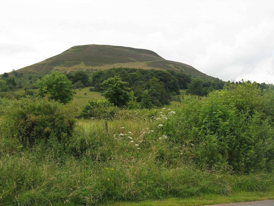
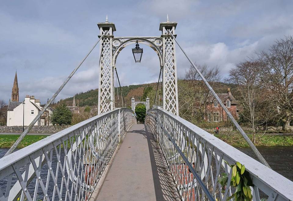
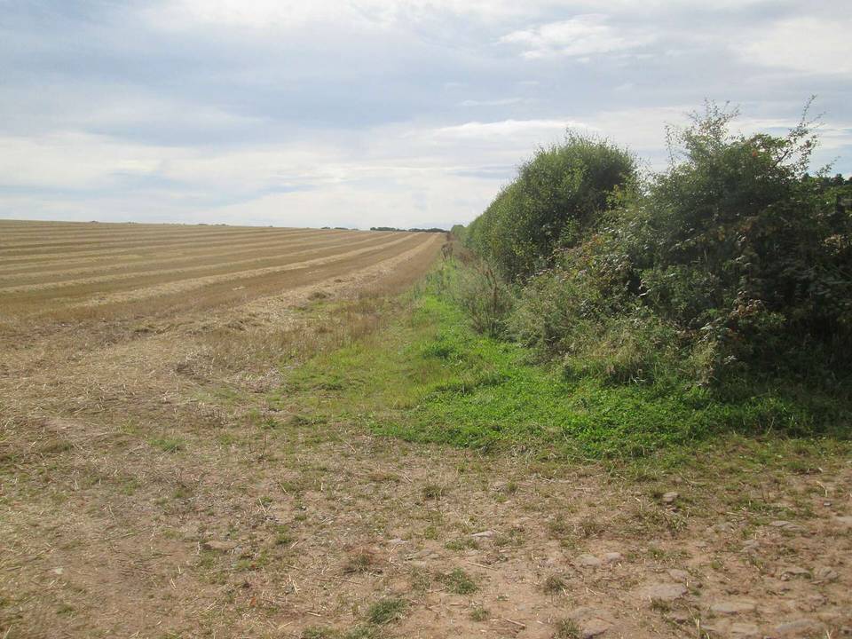
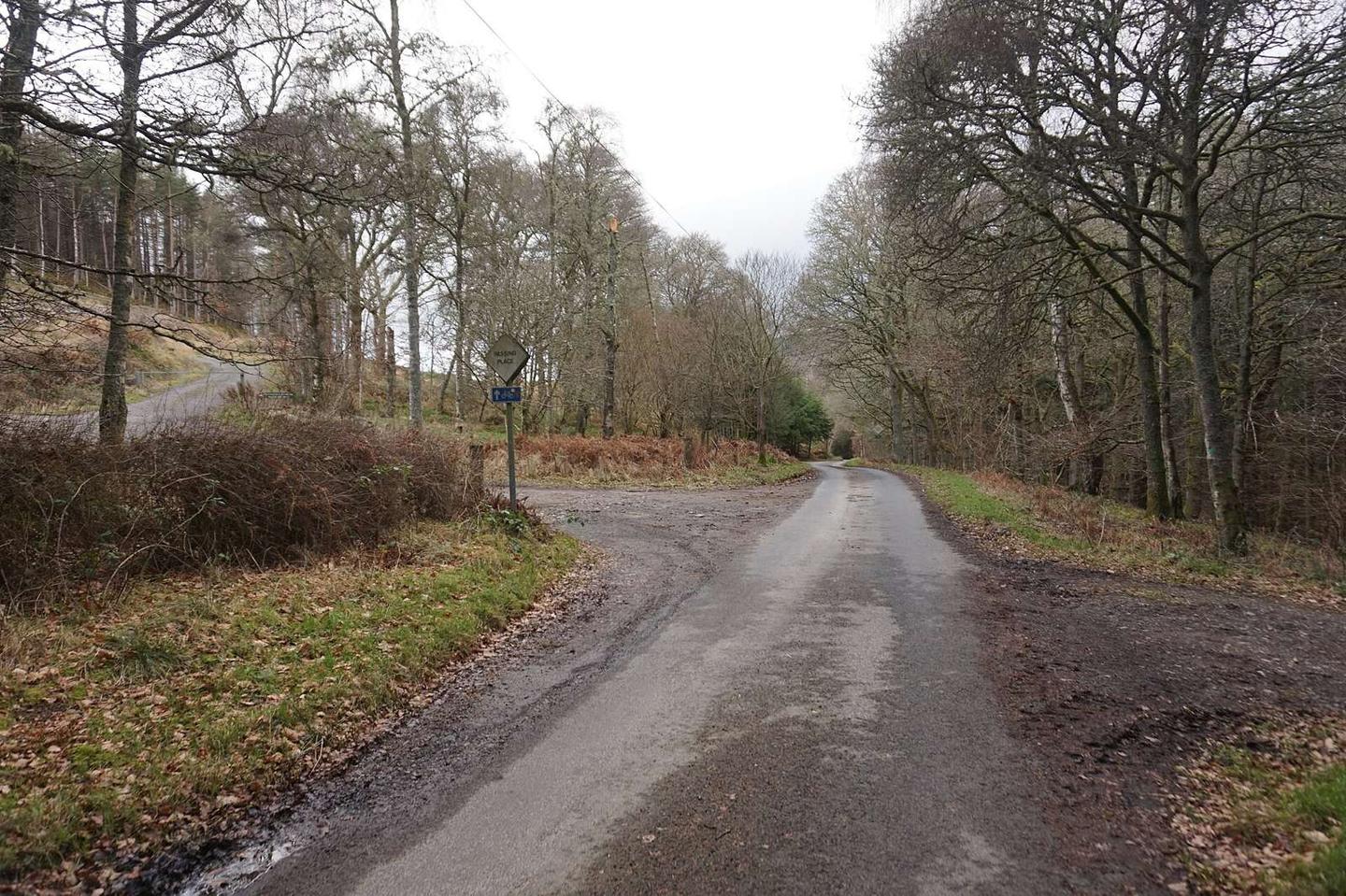
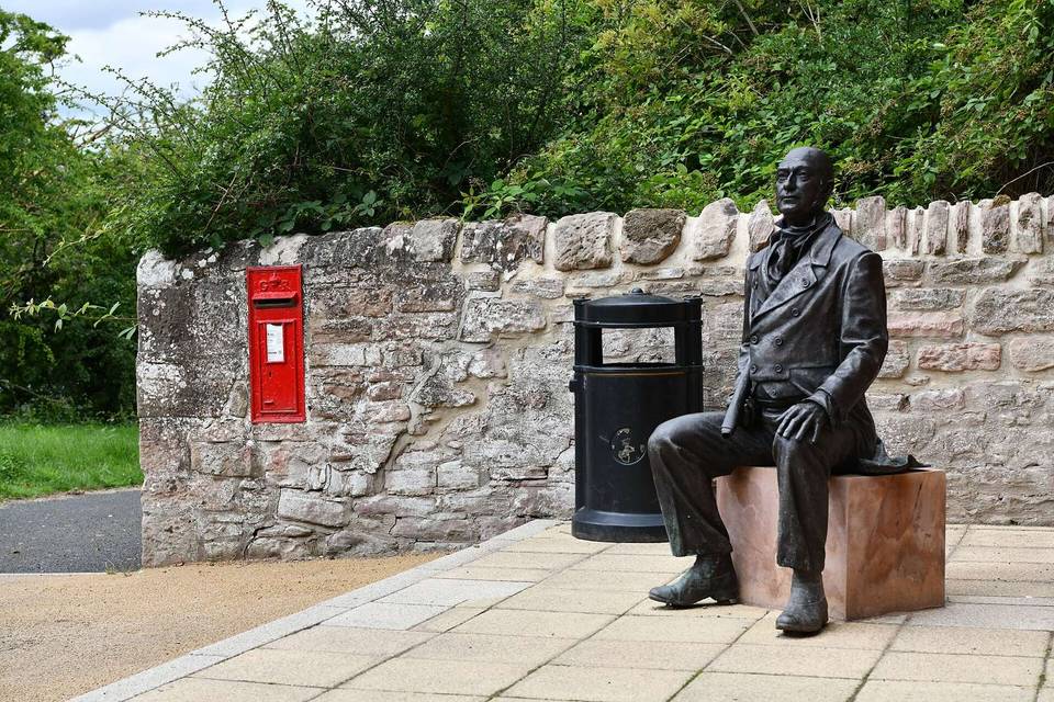
2 photographs from the road

Photo: Ian S · CC BY-SA 2.0 · Wikimedia Commons · Photo: Barbara Carr · CC BY-SA 2.0 · Wikimedia Commons