
Road · United Arab Emirates
This ride suits experienced cyclists prepared for a long 217.6 km route with moderate climbing of 1466 m.
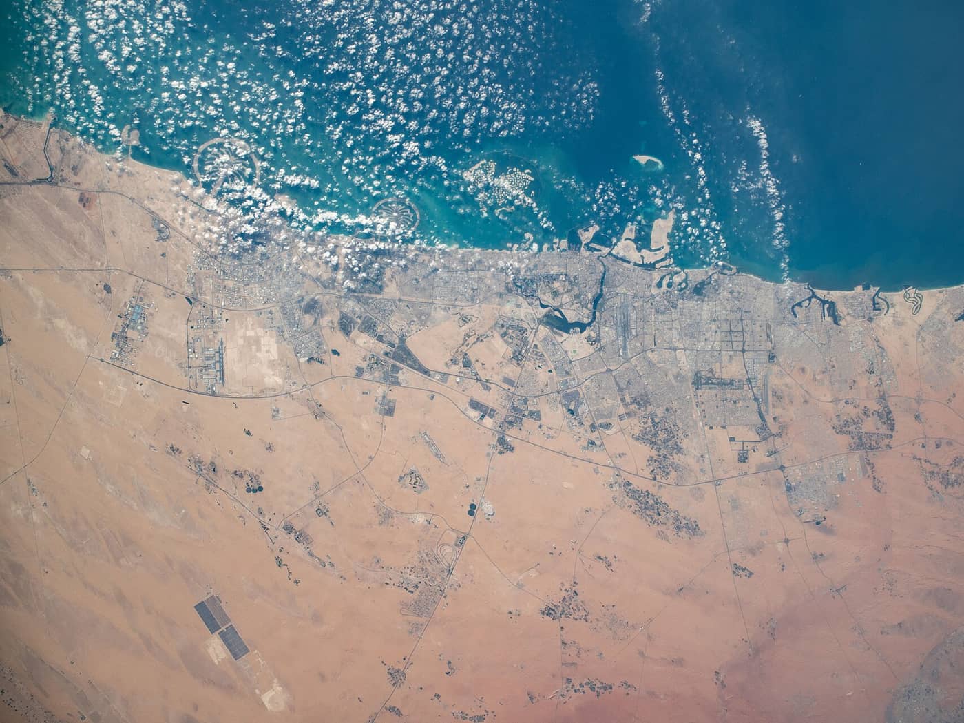
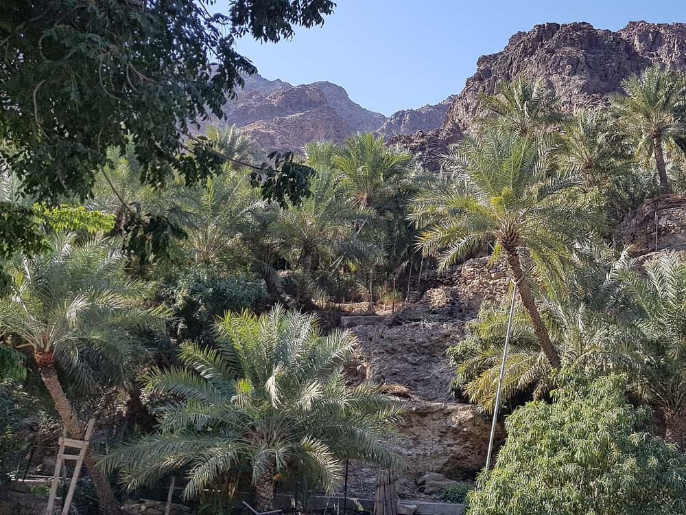
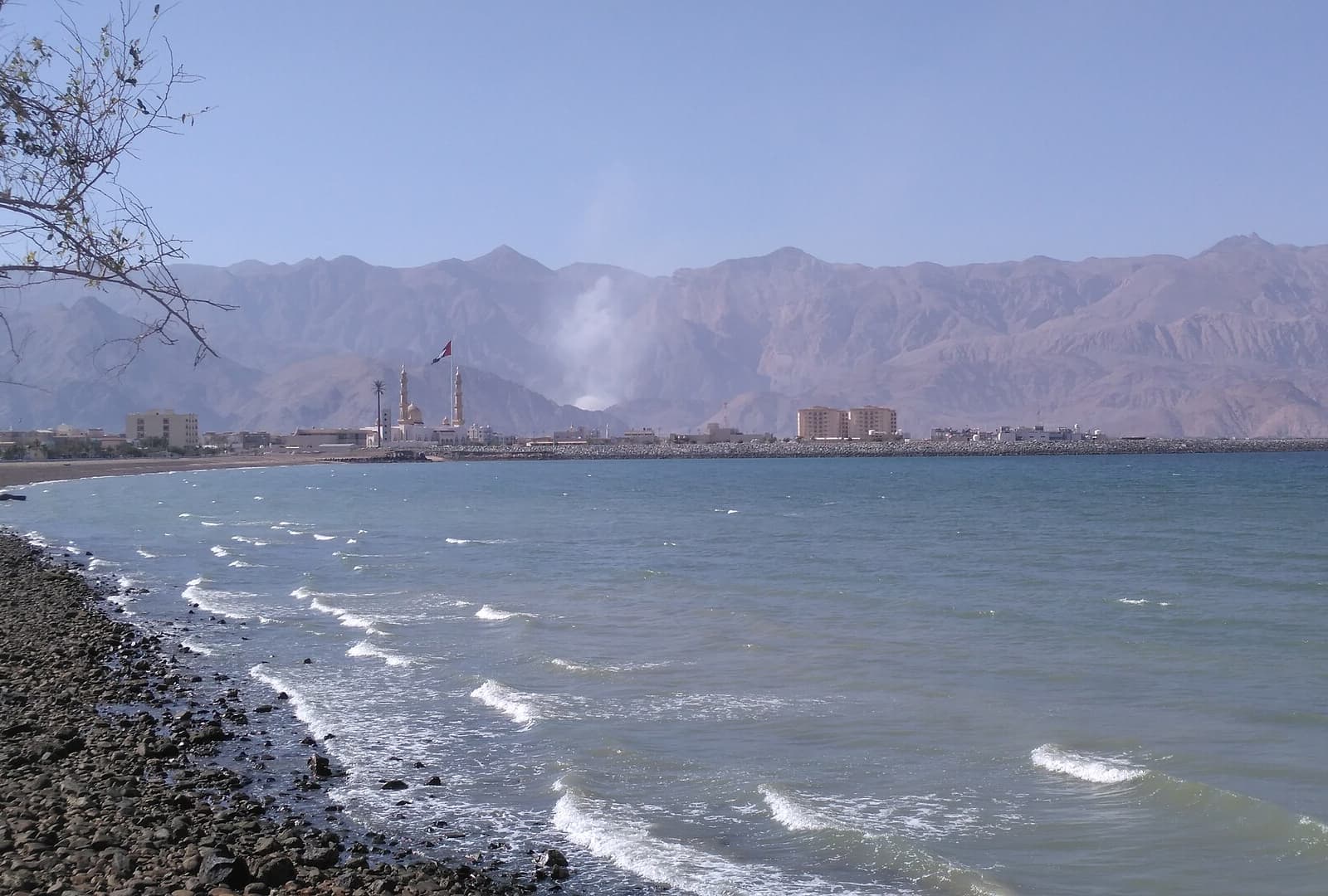
217.6 km coastal route from Sharjah to Khor Fakkan with 1466 m climbing through the Hajar Mountains, mainly on paved main roads and motorways.
Starting in Sharjah, the route quickly passes through urban areas including Al Mamzar, Al Nahda, and Al Khan to Al Qasimia by 18.7 km. It then continues largely on motorways and major roads such as Sharjah - Kalba Road (44.9 km), Maleha Road (33.3 km), and Khorfakkan Road (40.4 km), covering 101.7 km on motorways and 68.6 km on major roads. The surface is mostly paved (97%), with a minor 1% gravel or unpaved section. The route crosses through places like Milehah, Musseili, Shawka, and Daftah before reaching Khor Fakkan at 212.8 km. Climbing is moderate with a total elevation gain of 1466 m. Seven climbs are noted, including a 3.8 km section at 5.1% average gradient and a maximum of 12.3% between 111.3 km and 115.1 km, and a lengthiest descent of 12.8 km dropping 526 m from 201.8 km to near the finish. Most of the terrain is flat or gently rolling, with 14% climbing and 14% descending. Facilities including cafés, supermarkets, petrol stations, bike shops, and toilets occur mostly before 90 km; however, there is a 44.9 km stretch between 90.3 km and 135.2 km without cafés, shops, or water.
| Climb | Starts at | Length | Gain | Average | Max | Top |
|---|---|---|---|---|---|---|
| — | 90.2 km | 3.5 km | 104 m | 3 % | 4.7 % | 371 m |
| — | 95.4 km | 3.7 km | 90 m | 2.5 % | 4.9 % | 464 m |
| Showka climb | 111.3 km | 3.8 km | 192 m | 5.1 % | 12.3 % | 529 m |
| — | 168.4 km | 2.1 km | 40 m | 2 % | 2.7 % | 216 m |
| — | 174.3 km | 2.4 km | 81 m | 3.4 % | 12.1 % | 317 m |
| — | 183 km | 2.7 km | 103 m | 3.8 % | 8.8 % | 453 m |
| Daftah climb | 189.7 km | 4.1 km | 146 m | 3.6 % | 6.8 % | 512 m |
Longest stretch without a café, shop or water: 45 km, from 90 km to 135 km.