Cyclists.com

Showka Hills Loop via Musseili

54 km road cycling loop713 m climbing2–3 hoursGPX

Showka, Ras Al Khaimah, United Arab Emirates · Road

A hilly 54 km road cycling loop from Showka, Ras Al Khaimah through Musseili, with 713 m of climbing over Showka climb (531 m). Most of it (52.4 km) is on main roads without a cycle lane, 21.4 km where the limit is 80 km/h or more. The first 54 km has no café, shop or water.
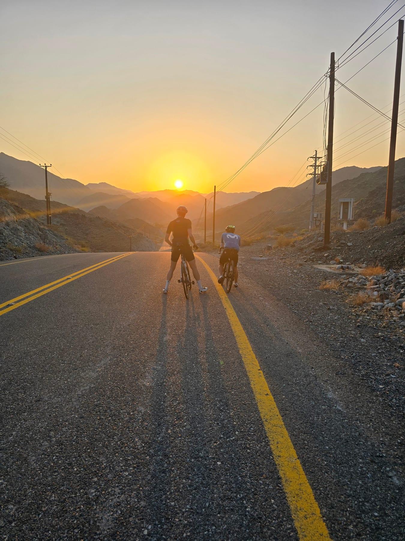
Route contributed by Marcus and Richard Chapman · Last ridden Saturday 18th May 2024

Download GPXMap

At a glance

Best for
Short, climbing-heavy rides for confident riders at ease in traffic
Distance
53.8 km
Loop
Elevation gain
713 m
13 m per km
Riding time
2–3 hours
moving time, estimated
Difficulty
Moderate
Bike
Road bike
from the mapped surface
Surface
Paved
99% paved · 1% unpaved
Traffic
Mostly main roads
52.4 km on main roads without a cycle lane · 21.4 km where the limit is 80 km/h or more
Food & water
Longest gap 54 km
2 public toilets · 1 bike shop
Best months
Dec to Feb
Showka climate, 10 years
Navigation
GPX download
free, no sign-in
Start and finish
Showka

Map and elevation profile

On the road: Showka Hills Loop via Musseili, Showka

Elevation profile

Total ascent
713 m
Distance
54 km
0200400600m0 km204054 km531 m · highest, at 42.7 kmStartFinish · back at the start

Route description

  1. Showka
  2. Musseilikm 2
  3. Showka climb (531 m)km 39
  4. Showkakm 54

The Showka short hills loop starts and finishes in Showka and passes the place Musseili at 2.4 km. It loops through the Hajar Mountains region, with a total elevation gain of 594 m over 53.8 km. The route climbs steadily with six main climbs: the longest is 3.8 km from 38.6 km gaining 199 m at an average gradient of 5.3%. Other climbs range from 1.4 to 3.4 km in length with average gradients between 3.1 and 4.3%. The highest point of the ride is 531 m at 42.4 km, and the lowest is 263 m near the finish at 53.3 km.

Nearly all the route (99%) is on paved surfaces, with just 1% on gravel or unpaved. The roads are mainly motorway (65%) and main road (33%), with small parts on track and quiet street making up 2%. The route includes 52.4 km on main roads without cycle lanes and 21.4 km on roads with speed limits of 80 km/h or above. The longest stretches on named roads are Sharjah - Kalba Road for 15.9 km, Al Watan Road for 13.2 km, and Al Rabet Street for 3.9 km.

There are no cafés, shops, or water points along the route, with a continuous 53.6 km stretch without these amenities. Two toilet facilities are located just off the route at 14.1 km and 21.7 km, and a bike shop is near the route at 8.5 km. The route passes beneath Jabal Al Hinnah (637 m) near 11.5 km and Jabal Ash Shahayrah (532 m) near 14.8 km. Temperatures recorded are 32 to 34 °C in May and September.

Why ride this route?

  • The shortest of the 16 rides from Showka, yet it climbs 713 m.
  • Climbs Showka climb (531 m) (3.8 km at 5.2 %).
  • Tops out at 531 m, 42.4 km in.

Highlights

  • Climb reaching 531 m at 42.4 km
  • Passes beneath Jabal Al Hinnah and Jabal Ash Shahayrah
  • Longest climb 3.8 km at 5.3% gradient
  • Route follows Sharjah - Kalba and Al Watan Roads

Along the route

Measured from the route line, the Copernicus elevation model and OpenStreetMap.

Places passed

  1. Musseili 2.4 km

Climbs

Climbs in ride order: where each starts, what this ride climbs, and the full named ascent
ClimbStarts atOn this rideFull ascentTop on this ride
Unnamed climb8.7 km2.9 km · 108 m · 3.7 % · max 5.6 %399 m
Unnamed climb13.5 km3.4 km · 105 m · 3.1 % · max 5.5 %488 m
Unnamed climb24.9 km1.4 km · 57 m · 4.1 % · max 7.9 %379 m
Unnamed climb26.7 km1.7 km · 74 m · 4.3 % · max 9.3 %442 m
Unnamed climb36 km1.8 km · 52 m · 2.9 % · max 4.5 %363 m
Showka climb (531 m)38.6 km3.8 km · 199 m · 5.3 % · max 10.9 %3.8 km · 200 m · 5.2 %531 m

High point 531 m at 42.4 km; low point 263 m. Passes beneath Jabal Al Hinnah, Jabal Ash Shahayrah.

On this ride: the part this route climbs, cut from its own elevation profile. Full ascent: the whole named climb, measured the same way on every ride that uses it (its climb page).

Showka climb (531 m) · full ascent, starts at 38.6 km

3.8 km at 5.2% · 200 m
350400450500m4.5%7.8%0 km1233.9 km532 msteepest 7.8%
< 4%4 – 7%7 – 10%> 10%

Traffic, surface and gradient

Measured from OpenStreetMap along the track and the elevation profile.

This is not a cycle-track route: 97% is on main roads without a cycle lane, 21.4 km of it where the limit is 80 km/h or more. Riders should be comfortable sharing the road with faster traffic.

Roads
65% motorway · 33% main road · 1% track · 1% quiet street
Main roads
52.4 km on main roads without a cycle lane — likely busier
Fast roads
21.4 km on roads with a limit of 80 km/h or more
Main roads used
Sharjah - Kalba Road (16 km), Al Watan Road (13 km), Al Rabet Street (4 km)
Surface
Paved: 99% of the route is mapped as paved, 1% as unpaved.
Gradient
31% climbing · 32% descending · 38% flat
Steep sections
4.1 km over 5% · 1 km over 8% · 0.4 km over 10% · steepest 500 m averages 18.6% at 0 km
Longest descent
3.2 km from 17 km, dropping 111 m

Food, water and services

Within a few hundred metres of the track, from OpenStreetMap. Opening hours change — treat this as where to look, not a promise.

The longest stretch without a café, shop or water is 54 km, from the start. Along the route: 2 public toilets and 1 bike shop.
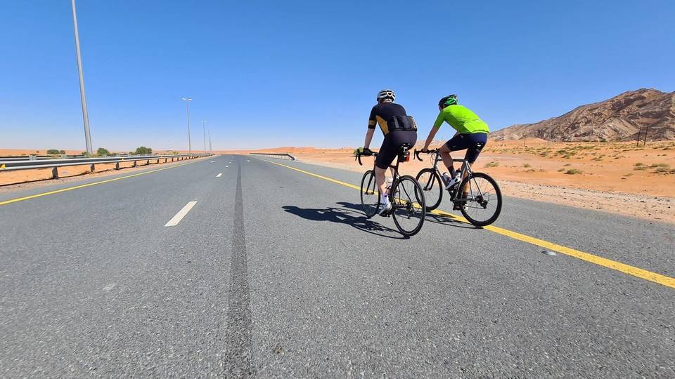
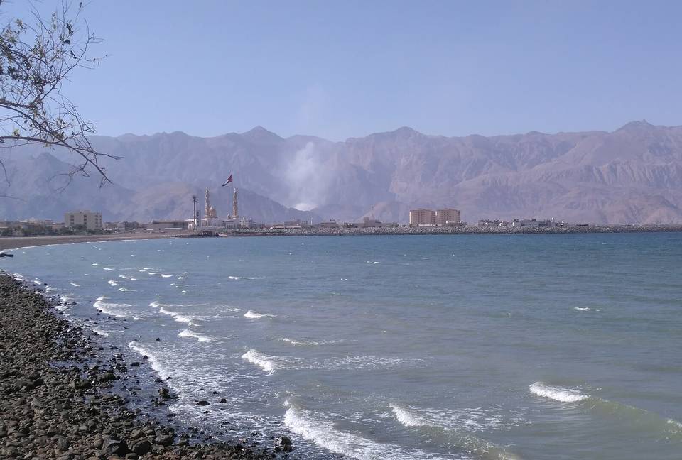
Food, water and shops in ride order

  1. 8.5 kmShowka Bicycles · bike shop · 570 m off route
  2. 14.1 kmToilets · 30 m off route
  3. 21.7 kmToilets · on the route

Know before you go

  • 53.6 km with no café, shop or water
  • 52.4 km on main roads without cycle lanes
  • 21.4 km on roads with speed limits of 80 km/h+
  • 1% gravel or unpaved surface

Routes are for inspiration. Roads, surfaces and conditions change — check locally and ride within your limits.

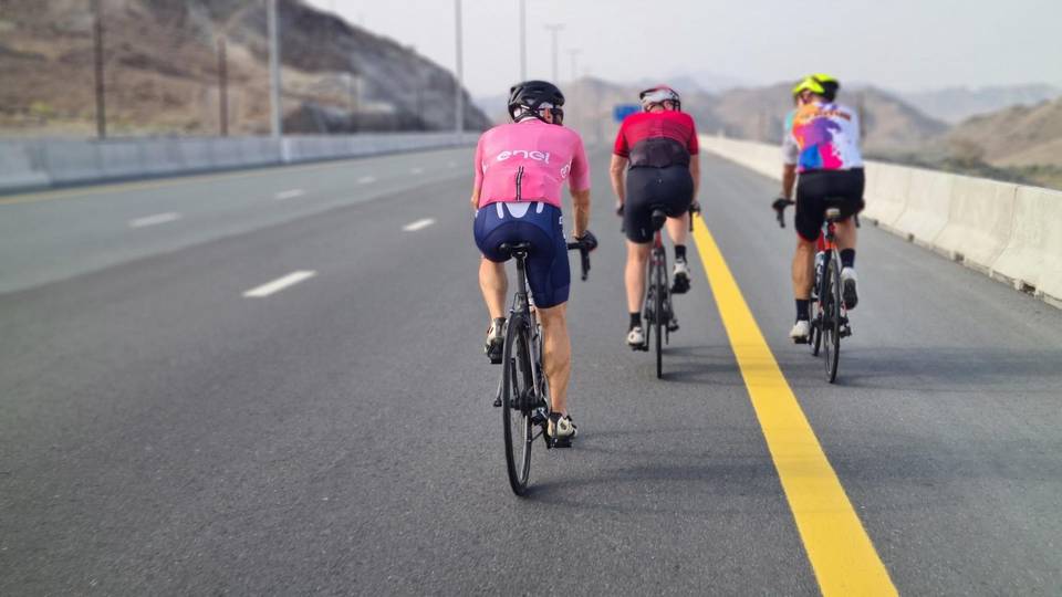
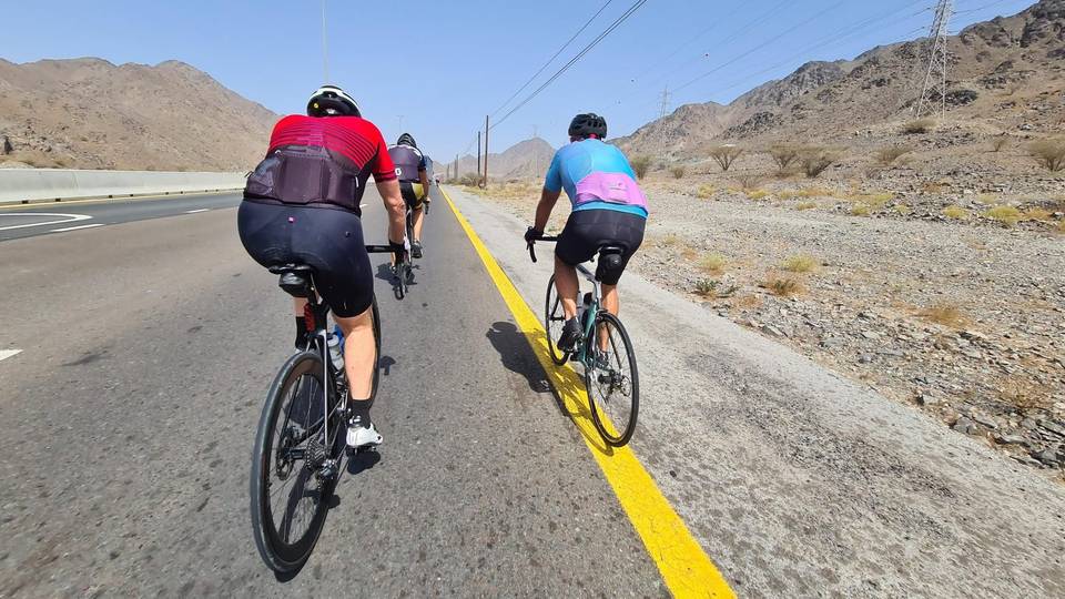
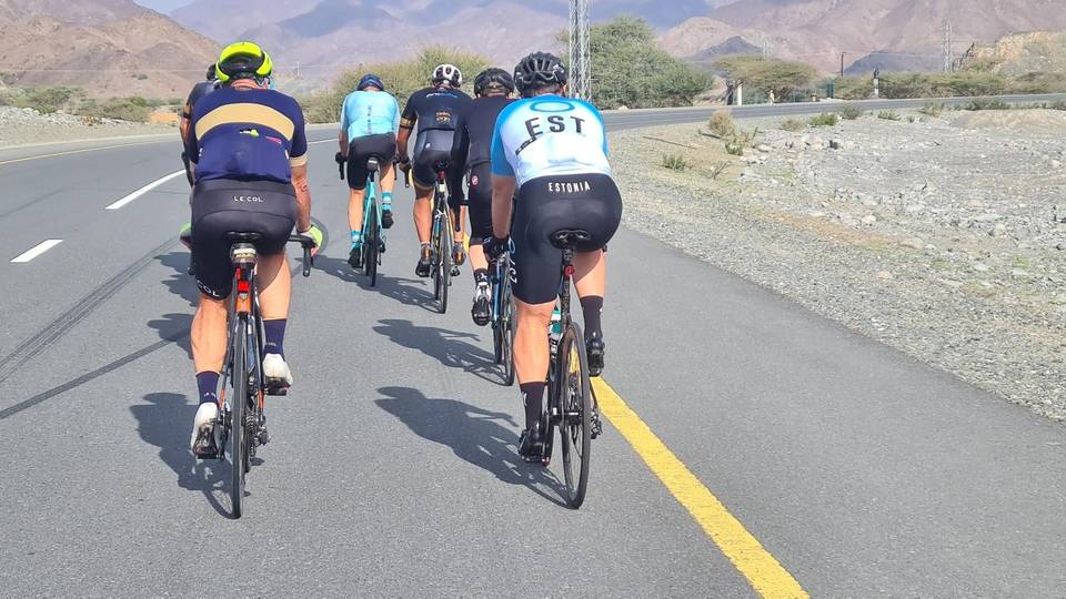
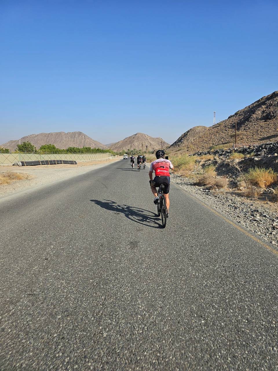
20 photographs from the road

About this route

Ridden by
Marcus and Richard Chapman
Dates ridden
to · 4 recordings
Route line
Built from 4 GPS recordings of the ride.
Elevation
Recalculated from the Copernicus GLO-90 terrain model every 50 m, not the device’s barometer.
Roads, surface, services
Measured along the line from OpenStreetMap extracts.
Best months
Ten years of ERA5 weather for Showka (Open-Meteo).
GPX
Generated from the route line: track points only, no timestamps or personal data.
Page added
Page last updated

See something wrong with this ride?

Also over Showka climb (531 m)

Similar length from Showka

More climbing

Less climbing