
Barcelona to Montpellier by Bike
Cycle from Barcelona to Montpellier over 7 stages covering 582 km and 1,724 m of climbing through Spain and France. Ridden by Marcus from 2 to 8 September 2024. Every stage has a map, elevation profile, road facts and a GPX file.
Route at a glance
- Distance
- 582 km
- Climbing
- 1,724 m
- Stages
- 7
- Countries
- 2
- Average stage
- 83 km
- Longest stage
- 101.8 km
- Most climbing
- 637 m
- Riding time
- ~39 h
- Surface
- Mixed surface
- Bike
- Road bike with sturdy tyres, or gravel bike
- Best months
- Feb to Nov
- GPX
- Every stage + whole tour
- Start
- Barcelona
- Finish
- Montpellier
Full route map
Itinerary: 7 stages
Average 83 km and 246 m a stage. Longest day: stage 5 (101.8 km). Most climbing: stage 3 (637 m). Shortest: stage 7 (35.6 km).
| Stage | Route | Country | Distance | Climbing | Surface | Difficulty | Time | GPX |
|---|---|---|---|---|---|---|---|---|
| 1 | Barcelona to Lloret de Mar Along the Maresme Coast | Spain | 77.3 km | 208 m | Mostly paved | Moderate | 3½–5 hours | GPX |
| 2 | Blanes to L'Escala | Spain | 94 km | 593 m | Mixed surface | Hard | 5½–7½ hours | GPX |
| 3 | L'Escala to Argelès-sur-Mer over the Col de Banyuls | Spain → France | 91.5 km | 637 m | Mixed surface | Hard | 5–7 hours | GPX |
| 4 | Argelès-sur-Mer to Gruissan | France | 89.3 km | 42 m | Mixed surface | Moderate | 5½–7½ hours | GPX |
| 5 | Gruissan to Sète Along the Canal du Midi | France | 101.8 km | 131 m | Mixed surface | Moderate | 6–8½ hours | GPX |
| 6 | Sète to Aimargues Through the Camargue | France | 92.2 km | 39 m | Mixed surface | Moderate | 5½–7½ hours | GPX |
| 7 | Aimargues to Montpellier | France | 35.6 km | 74 m | Paved | Easy | 2–2½ hours | GPX |
The route, country by country
Barcelona → Spain → France → Montpellier
Spain
Stages 1–3, 263 km: Barcelona → Lloret de Mar Along the Maresme Coast → L'Escala → Argelès-sur-Mer over the Col de Banyuls. Rolling (1,438 m of climbing), 12% on cycle paths or lanes.
France
Stages 4–7, 319 km: Argelès-sur-Mer → Gruissan → Sète Along the Canal du Midi → Aimargues Through the Camargue → Montpellier. Flat (286 m of climbing), 26% on cycle paths or lanes.
How difficult is this tour?
582 km and 1,724 m of climbing over 7 stages: 83 km and 246 m a stage on average.
The longest day is stage 5, Gruissan to Sète Along the Canal du Midi (101.8 km); the most climbing is on stage 3, L'Escala to Argelès-sur-Mer over the Col de Banyuls (637 m); the shortest is stage 7, Aimargues to Montpellier (35.6 km).
At 83 km a day on average, it suits riders used to back-to-back days of 70–110 km.
Riders can go faster or slower than the documented itinerary: the same 582 km is 10 riding days at 60 km a day, 8 riding days at 80 km a day and 6 riding days at 100 km a day.
Surface and traffic
Mixed surface: 80% is mapped as paved and 17% as gravel or unpaved and 3% has no surface data.
115 km (20%) is on cycle paths or roads with a cycle lane; 104 km (18%) is on main roads without one, and 48 km on roads with a limit of 80 km/h or more.
The longest stretch without a café, shop or water is 25 km, on stage 3.
Best time to ride
This tour was ridden in September 2024. From ten years of weather at the stage towns, Feb to Nov are good for riding along the whole route.
Logistics
- 7 of 7 stage finishes have a hotel, guesthouse or campsite mapped within a short ride of the finish.
- The longest stretch without a café, shop or water on any stage is 25 km, on stage 3.
What it was actually like to ride
About this tour
This tour runs north-east up the Mediterranean coast in seven stages, covering 582 km with just 2,005 m of climbing in total. It begins in Barcelona and finishes in Montpellier, with the only sustained hills in the middle third; the first and last days are close to flat.
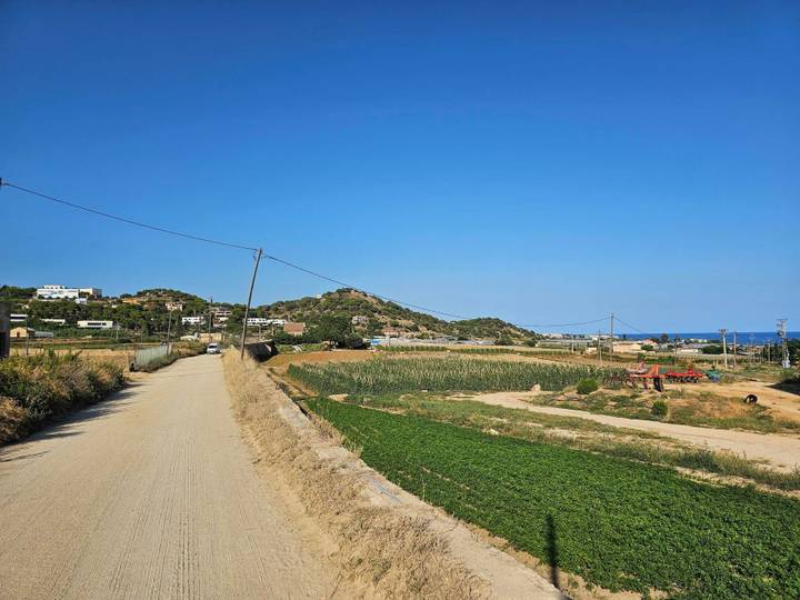
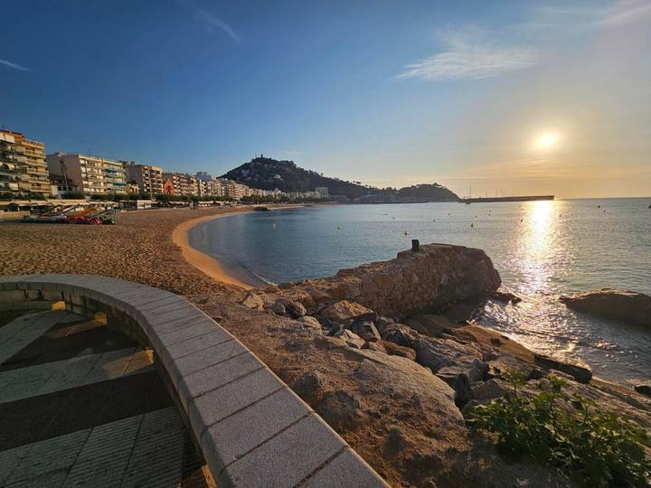
Stage 1 follows the Maresme coast for 77.3 km through Badalona, Mataró, Calella and Blanes to Lloret de Mar, gaining only 239 m and topping out at 51 m. Stage 2 turns inland behind the Costa Brava headlands from Blanes to l'Escala, 94 km with 631 m of climbing: a 1.9 km rise at 4.2% from km 10.1, then a longer 4.2 km climb at 4.1% from km 18 reaching 235 m, before the run through Palamós, Palafrugell, Pals and Torroella de Montgrí.
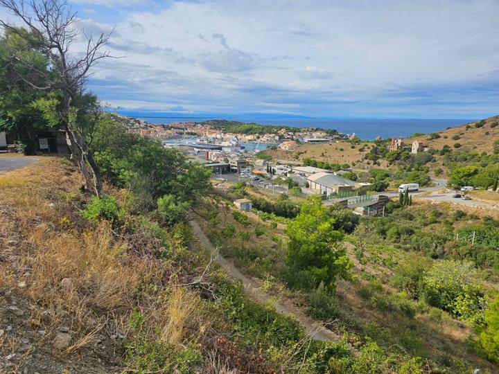
Stage 3 is the hilliest day and the border crossing. From l'Escala the route works through Castelló d'Empúries, Vilajuïga and Espolla, then over the Col de Banyuls into France; the 3 km climb starting at km 55.4 averages 4.3% and tops the day's high point at 344 m. Two shorter ramps of 1.1 km and 1.5 km follow between Banyuls-sur-Mer, Port-Vendres and Collioure before Argelès-sur-Mer. Total for the stage: 91.5 km and 774 m.
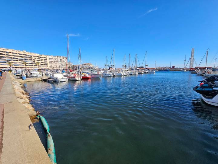
From there the terrain flattens out completely. Stage 4 to Gruissan is 89.3 km with 71 m of gain, running along the lagoons past Canet-en-Roussillon, Le Barcarès, Leucate and Port-la-Nouvelle, never above 37 m. Stage 5 is the longest day at 101.8 km and reaches a maximum of just 14 m, passing Narbonne-Plage, Valras-Plage, Agde, Marseillan, Mèze and Bouzigues to Sète. Stage 6, 92.2 km with 54 m of gain, crosses the Camargue edge via Palavas-les-Flots, La Grande-Motte, Le Grau-du-Roi, Aigues-Mortes and Le Cailar to Aimargues. Stage 7 is the shortest at 35.6 km, running through Lunel and Mauguio into Montpellier.
Ridden in September, with recorded temperatures between 21 °C and 28 °C — warmest on the Barcelona coast and across the Camargue, coolest on the border day and the final run into Montpellier. Every stage passes 33 or more places to fill bottles or buy food, so supplies are rarely more than a few kilometres apart, but the flat, exposed lagoon stages offer little shelter and are worth starting early in warm weather.
Photos from the road
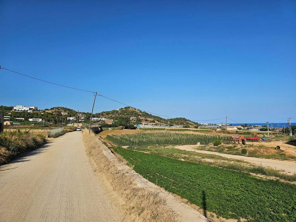
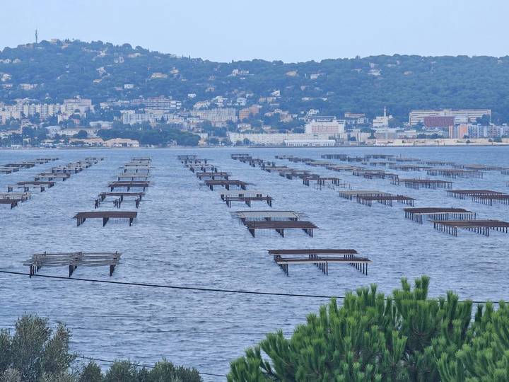
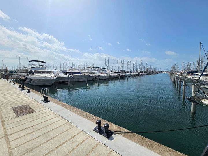
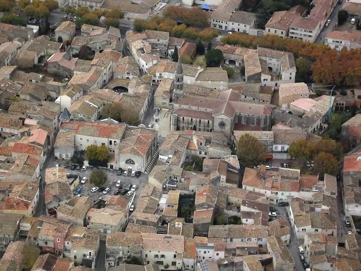
Stage 1 · Barcelona to Lloret de Mar Along the Maresme Coast 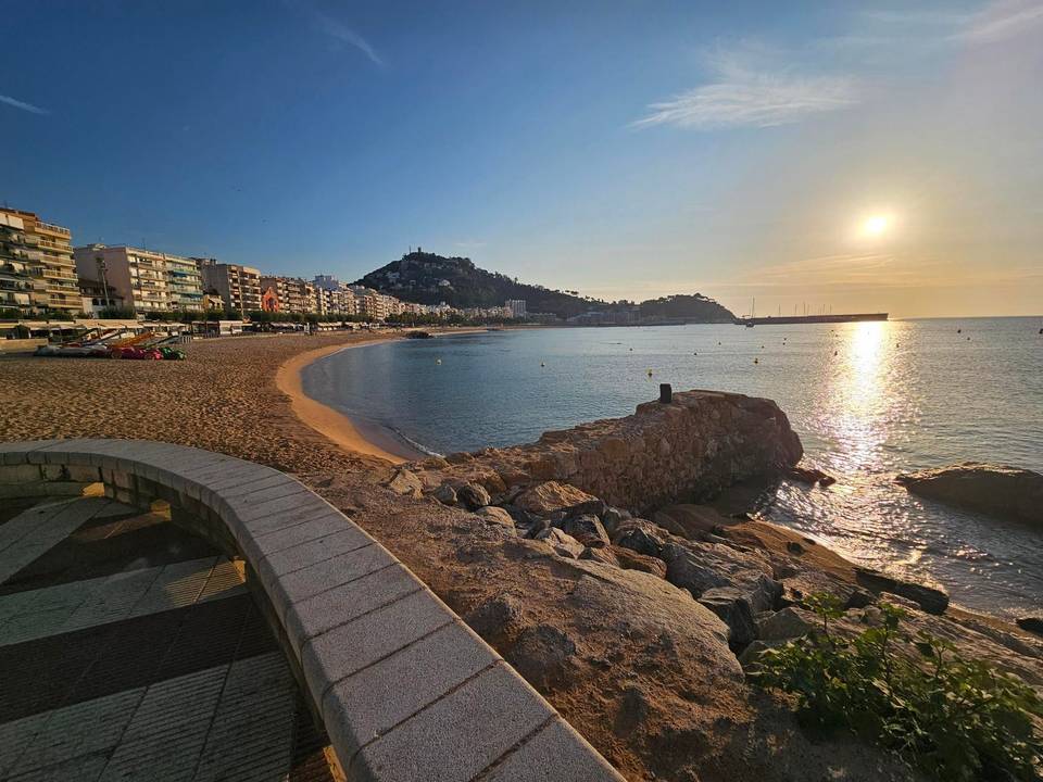
Stage 2 · Blanes to L'Escala 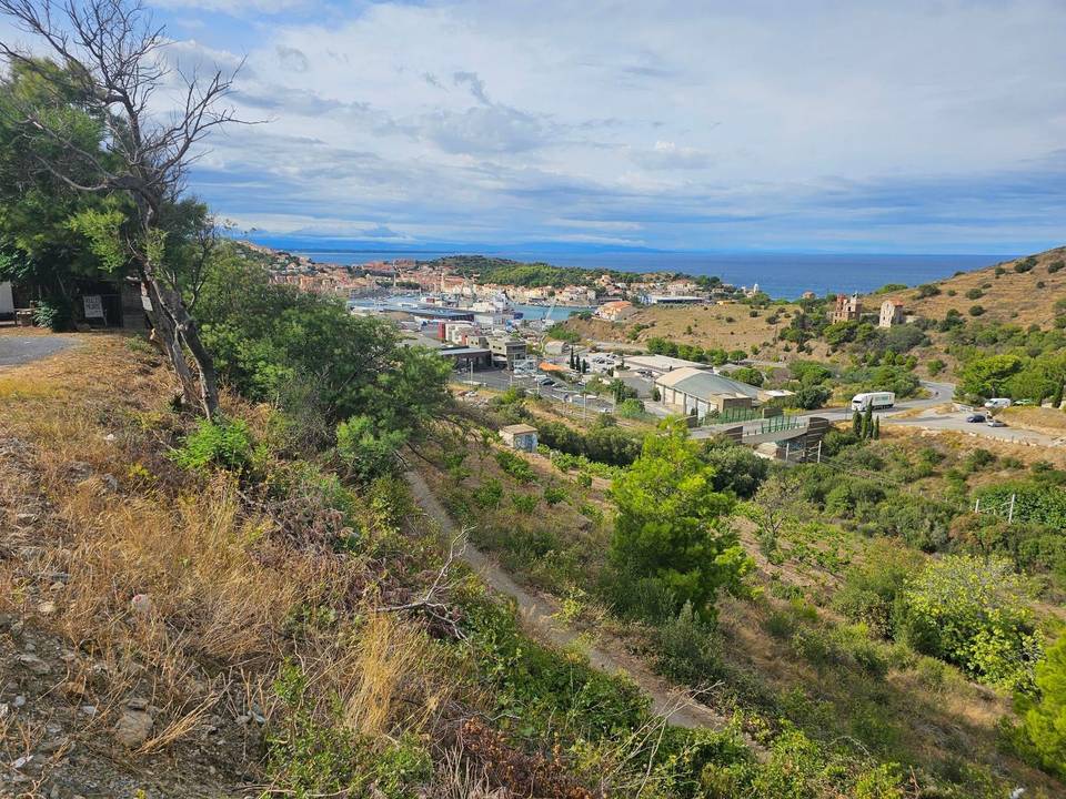
Stage 3 · L'Escala to Argelès-sur-Mer over the Col de Banyuls 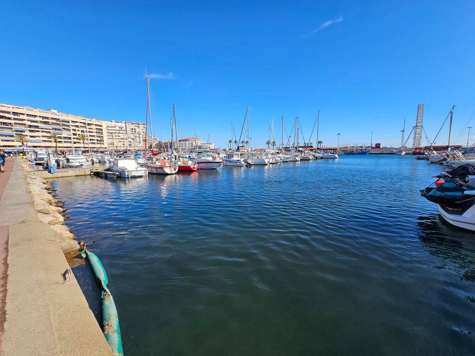
Stage 4 · Argelès-sur-Mer to Gruissan 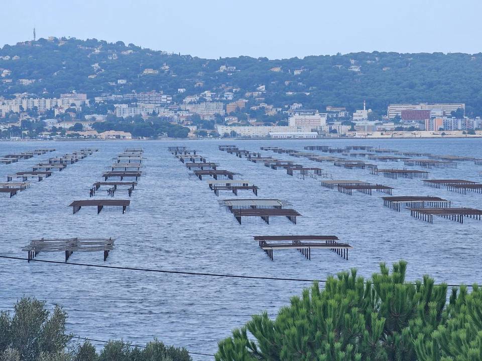
Stage 5 · Gruissan to Sète Along the Canal du Midi 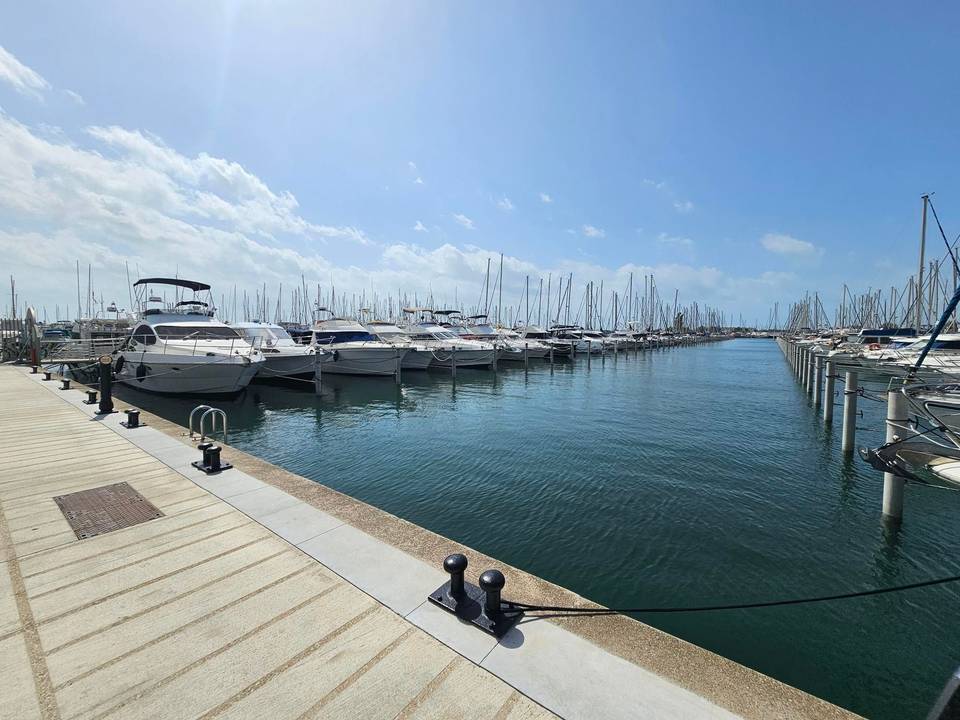
Stage 6 · Sète to Aimargues Through the Camargue 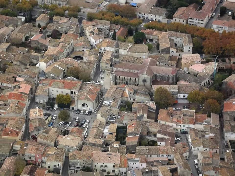
Stage 7 · Aimargues to Montpellier
Questions riders ask
Can you cycle from Barcelona to Montpellier?
Yes. Marcus rode it in 7 stages from 2 to 8 September 2024, 582 km in all.
How far is Barcelona to Montpellier by bike?
582 km along this route, in 7 stages averaging 83 km.
How long does it take to cycle from Barcelona to Montpellier?
The documented trip took 7 riding days over 7 calendar days. Moving time is estimated at about 39 hours. At 60 km a day it is 10 days, 80 km a day it is 8 days and 100 km a day it is 6 days.
How much climbing is involved?
1,724 m in total. The most climbing in a day is 637 m on stage 3, L'Escala to Argelès-sur-Mer over the Col de Banyuls.
How difficult is the route?
At 83 km a day on average, it suits riders used to back-to-back days of 70–110 km. The longest day is 101.8 km.
Is it suitable for a road bike?
80% of the route is mapped as paved and 17% as gravel or unpaved (3% has no surface data). Based on that: road bike with sturdy tyres, or gravel bike.
Is there a GPX file?
Yes. Every stage has its own GPX download, and the whole tour is available as one GPX file with a track per stage.
What is the best time of year?
This tour was ridden in September 2024. From ten years of weather at the stage towns, Feb to Nov are good for riding along the whole route.