Cyclists.com

Adh Dhayd – Al Fujayrah via Al Dafain

Adh Dhayd, Hajar Mountains, United Arab EmiratesRoad

132 km
Distance
749 m
Elevation gain
Hard
Difficulty
Paved
Surface
Download GPXMap
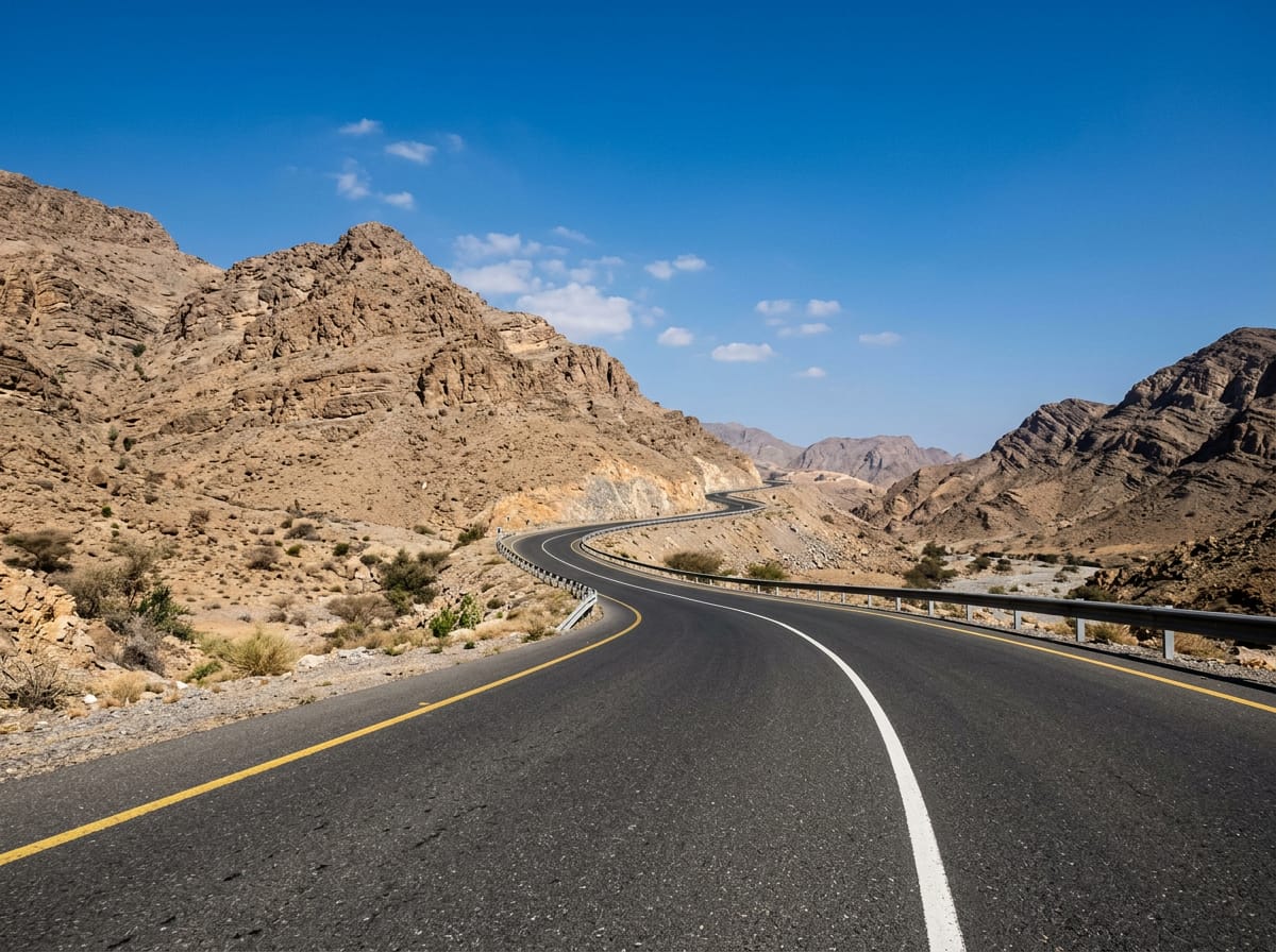
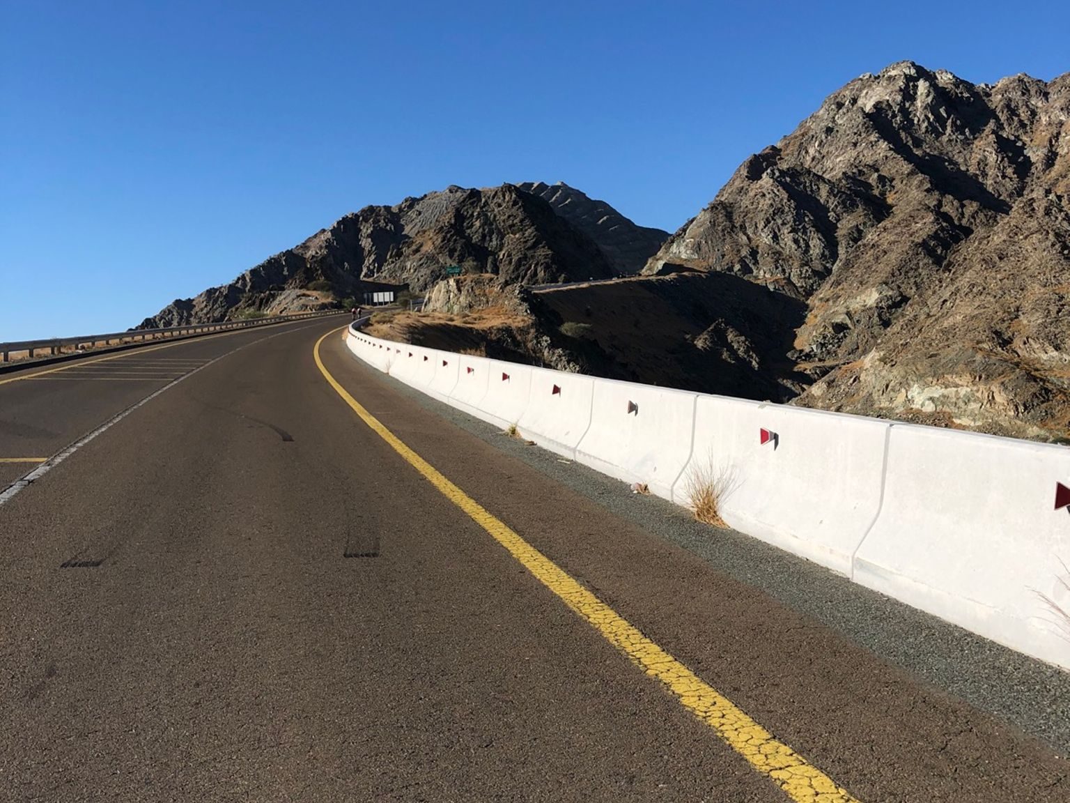
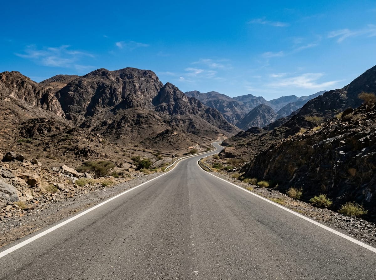
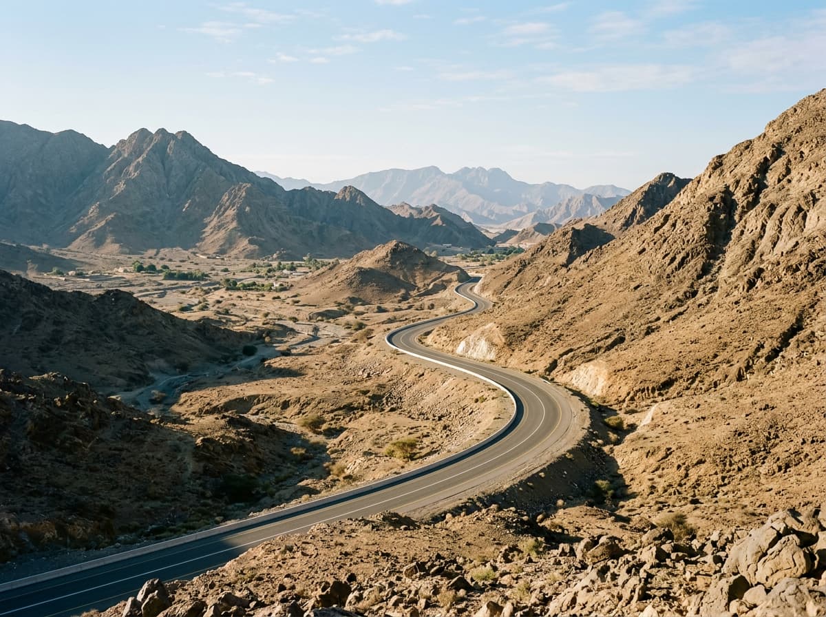
On the road: Adh Dhayd – Al Fujayrah via Al Dafain
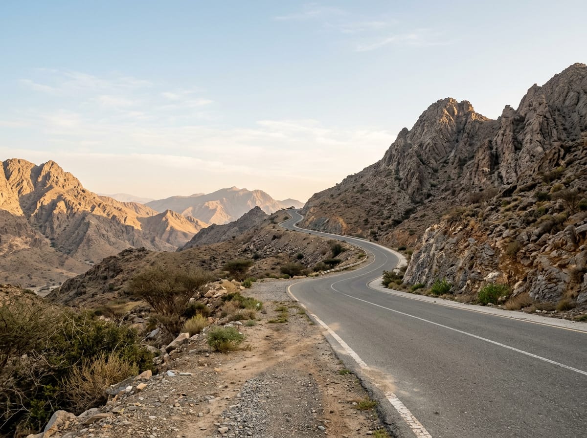
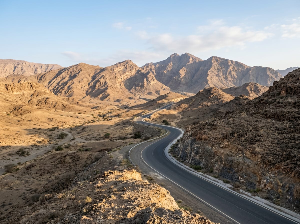
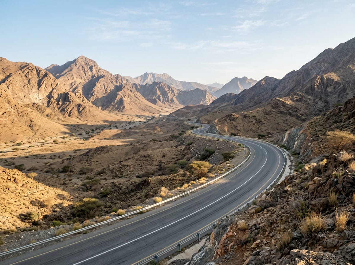
AI image

Elevation profile

Total ascent
749 m
Distance
132 km
0200400600m0 km50100132 km531 m · highest, at 81.8 kmStartFinish · back at the start

Route overview

Suitable for cyclists comfortable with a long 131.5 km ride with moderate climbing.

131.5 km loop ride in the Hajar Mountains of UAE starting from Adh Dhayd with 749 m climbing.

Starting in Adh Dhayd, the 131.5 km loop passes through Al Dafain at 23.2 km, Sha'biyyat Bahayis at 30.3 km, Filli at 40.6 km, Al Fayah at 115.9 km, and Mahafiz near the end at 129.2 km. The route climbs 749 m in total with most elevation gain in the first half. There are three main climbs between 56.6 km and 81 km, ranging from 2.9% to 5.4% average gradient, with the steepest 500 m section at 10.1% around 81.2 km. The surface is 99% paved with a small 1% gravel or unpaved section. The roads include 65% main roads, 27% motorway, 6% major road, 1% quiet street, and 1% track. A total of 127.1 km on main roads have no cycle lane, and 46.9 km are fast roads with speed limits over 80 km/h. Long stretches follow named roads such as Sharjah - Kalba Road, Mahafiz - Al Fayah Road, Al Watan Road, and Al Dhaid-Maliha Road. Shops and services are sparse; the longest stretch without a café, shop, or water is 58.5 km from km 41.1 to 99.6. There is drinking water at 41.1 km, a bike shop at 56.9 km, petrol station at 25.6 km, and cafés at 13.3 km (2 December Cafeteria) and 115.9 km (Mavia Al Faya restaurant). Toilets are available near 62.3 km and 69.9 km. The route passes beneath Jabal Al Hinnah (637 m) and Jabal Ash Shahayrah (532 m).

Highlights

  • Climb reaching 531 m at 80.9 km
  • Jabal Al Hinnah peak at 637 m
  • Longest stretch without café or water 58.5 km
  • Named roads: Sharjah - Kalba Road 16.1 km

Along the route

Measured from the recorded track and OpenStreetMap.

Places passed

  1. Al Dafain 23.2 km
  2. Sha'biyyat Bahayis 30.3 km
  3. Filli 40.6 km
  4. Al Fayah 115.9 km
  5. Mahafiz 129.2 km

Climbs

ClimbStarts atLengthGainAverageMaxTop
56.6 km3.2 km110 m3.4 %5.4 %394 m
61.5 km3.8 km109 m2.9 %5.6 %488 m
Showka climb77.3 km3.7 km198 m5.4 %10.7 %531 m

High point 531 m at 80.9 km; low point 129 m. Passes beneath Jabal Al Hinnah, Jabal Ash Shahayrah.

Showka climb · starts at 77.2 km

3.6 km at 5.4% · 198 m
350400450500m4.5%7.8%0 km1233.9 km531 msteepest 7.8%
< 4%4 – 7%7 – 10%> 10%

What this ride is like

Measured from OpenStreetMap along the track and the elevation profile.

Roads
65% main road · 27% motorway · 6% major road · 1% quiet street
Main roads
127.1 km on main roads without a cycle lane — likely busier
Fast roads
46.9 km on roads with a limit of 80 km/h or more
Main roads used
Sharjah - Kalba Road (16 km), Mahafiz - Al Fayah Road (16 km), Al Watan Road (13 km), Al Dhaid-Maliha Road (5 km)
Surface
Paved throughout
Gradient
11% climbing · 11% descending · 77% flat
Steep sections
2.3 km over 5% · 1 km over 8% · 0.4 km over 10% · steepest 500 m averages 10.1% at 81.2 km
Longest descent
6.3 km from 65.9 km, dropping 170 m

Along the way

Within a few hundred metres of the track, from OpenStreetMap. Opening hours change — treat this as where to look, not a promise.

Longest stretch without a café, shop or water: 59 km, from 41 km to 100 km.

Food, water and shops

  1. 13.3 km2 December Cafeteria · café · 80 m off route
  2. 25.6 kmADNOC · petrol station · 110 m off route
  3. 41.1 kmDrinking water · 80 m off route
  4. 56.9 kmShowka Bicycles · bike shop · 570 m off route
  5. 62.3 kmToilets · 70 m off route
  6. 69.9 kmToilets · 140 m off route
  7. 104.5 kmSharjah Coop · supermarket · 40 m off route
  8. 115.9 kmMavia Al Faya · restaurant · 100 m off route

Practical information

Surface
Paved
Route shape
Loop
Riding time
4–6 hours riding
Season
November with temperatures between 21 and 27 °C.

Know before you go

  • 127.1 km on main roads without cycle lanes
  • 46.9 km on roads with speed limits over 80 km/h
  • Longest no café or water stretch 58.5 km from 41.1 to 99.6 km
  • Short gravel section (1% of route)

Routes are for inspiration. Roads, surfaces and conditions change — check locally and ride within your limits.

More rides from Adh Dhayd