
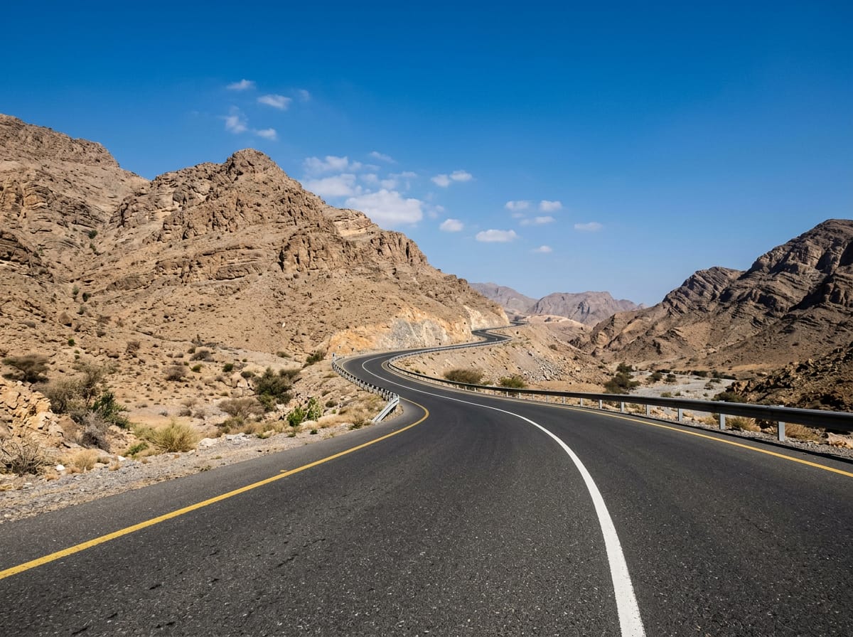
 AI image
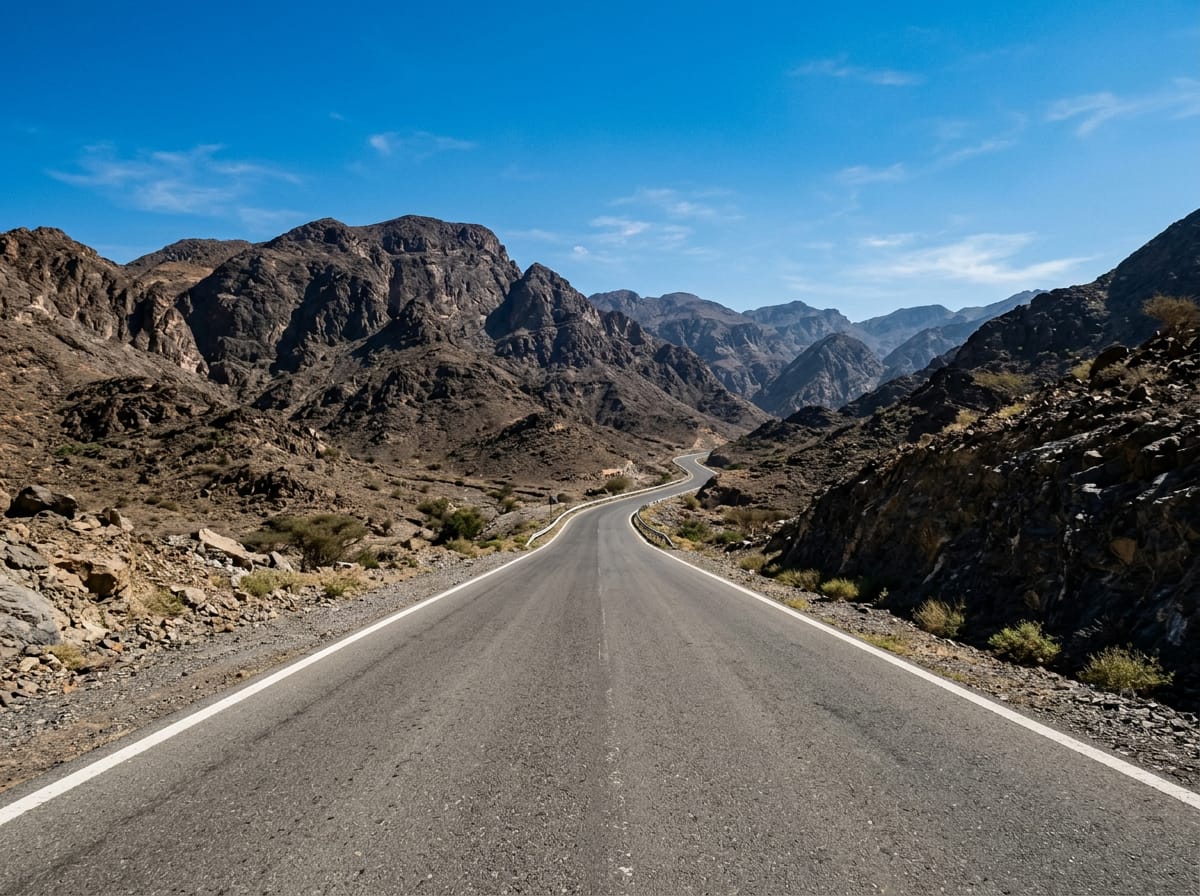
Road · United Arab Emirates
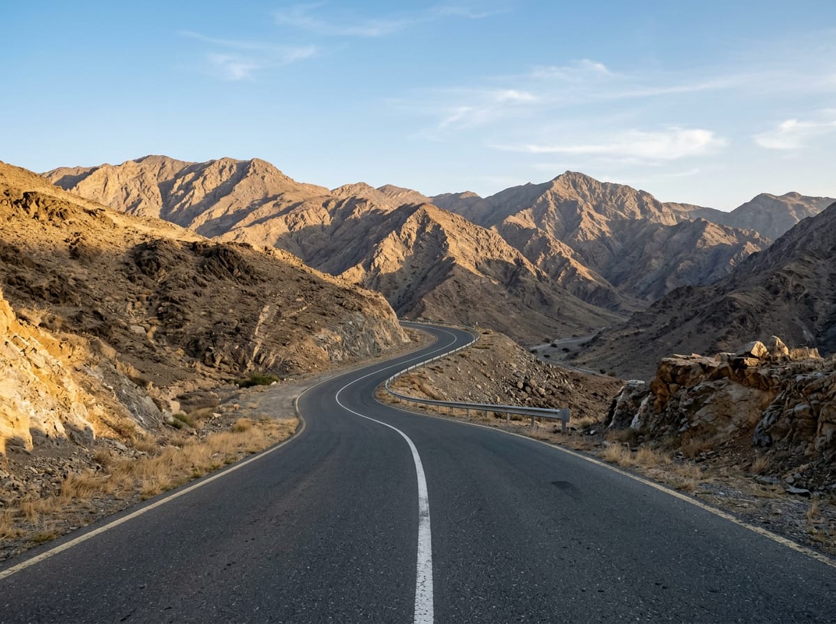
Suitable for cyclists ready for a long ride with moderate climbing over 115 km.
A 115 km loop in the Hajar Mountains, UAE starting and finishing at Adh Dhayd with 1519 m climbing.
The ride starts at Adh Dhayd and heads south climbing steadily over the first 7 km with two main climbs to reach 487 m near km 8. It passes Munay at 20 km and Wahala at 45 km, where a castle lies just off route. The profile alternates with several short climbs of 2 km or less and gentle gradients below 5%, including climbs at km 26.6 and 31.5 near Jabal Al Miqsha mountain. The route descends from km 8.5 for 6.5 km, dropping 173 m. Between km 57.1 and 59.8 there is one cafe (Starbucks), a petrol station (ADNOC), toilets and a kiosk close to the road. After this, the ride continues through Al Saaf and Al Ghail at 62.5 km and Al Uqdah at 69 km with further climbs around km 70 to 83.5 featuring slopes up to 11.6%. The route continues past Minazif and Al Qilē'ī before returning to Adh Dhayd where there is a bike shop at both the start and finish. Almost all of the 115 km are on paved surfaces and mainly motorway (73 km) or main roads (34 km) with no cycle lanes for 110 km and many sections posted at 80 km/h or higher. The climb totals 1519 m with gentle gradients overall but some short steep sections. The longest climb is 5.2 km towards the end with an average grade of 2.9%.
| Climb | Starts at | Length | Gain | Average | Max | Top |
|---|---|---|---|---|---|---|
| — | 0 km | 3 km | 108 m | 3.6 % | 5.1 % | 399 m |
| — | 4.7 km | 3.5 km | 107 m | 3 % | 5.3 % | 487 m |
| — | 22 km | 2 km | 49 m | 2.5 % | 3.7 % | 305 m |
| — | 26.6 km | 1.8 km | 73 m | 4 % | 12.8 % | 315 m |
| — | 31.5 km | 1.8 km | 87 m | 4.8 % | 11.6 % | 263 m |
| — | 64.8 km | 5.1 km | 115 m | 2.3 % | 3 % | 164 m |
| — | 70.4 km | 2.3 km | 93 m | 4 % | 8.3 % | 264 m |
| — | 78.7 km | 1.6 km | 80 m | 5.1 % | 11.6 % | 267 m |
| — | 81.2 km | 1.8 km | 54 m | 3 % | 6.1 % | 224 m |
| — | 83.5 km | 1.7 km | 84 m | 5 % | 10 % | 304 m |
| — | 87.2 km | 2.1 km | 64 m | 3 % | 5 % | 308 m |
| — | 100 km | 5.2 km | 149 m | 2.9 % | 7.7 % | 480 m |
Longest stretch without a café, shop or water: 57 km, from 0 km to 57 km.
AI imageRoad · United Arab Emirates
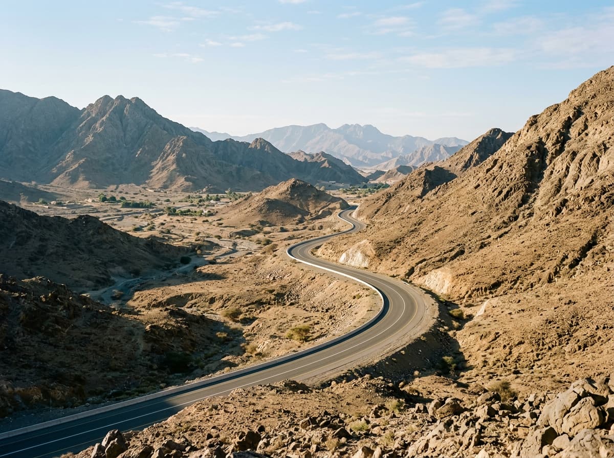 AI image
Road · United Arab Emirates
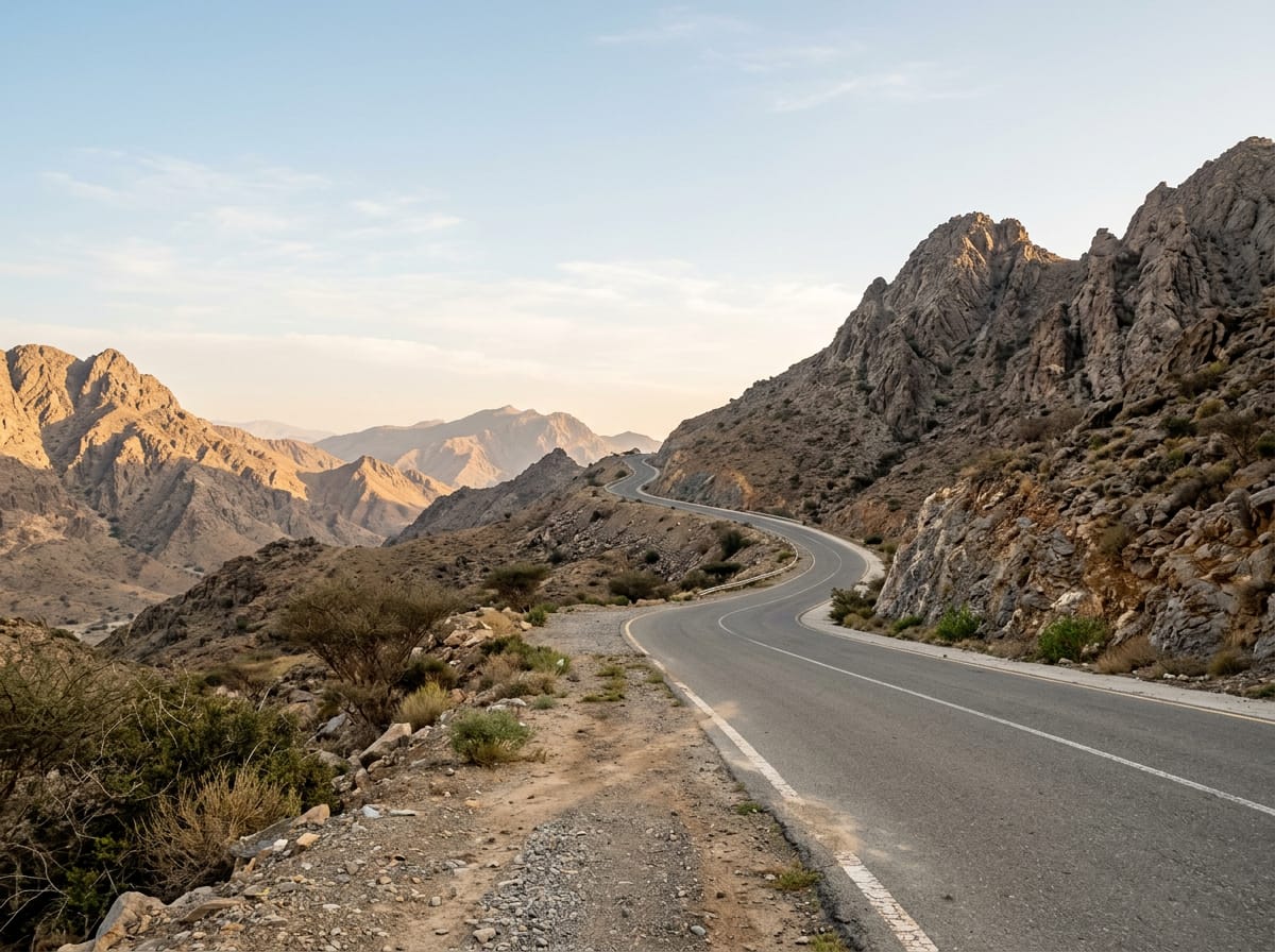 AI image
Road · United Arab Emirates
 AI image
Road · United Arab Emirates
 AI image
Road · United Arab Emirates
Road · United Arab Emirates
 AI image
Road · United Arab Emirates
 AI image
Road · United Arab Emirates