Cyclists.com

Adh Dhayd – Al Fujayrah via Al Heel

Adh Dhayd, Hajar Mountains, United Arab EmiratesRoad

101 km
Distance
1,237 m
Elevation gain
Hard
Difficulty
Paved
Surface
Download GPXMap
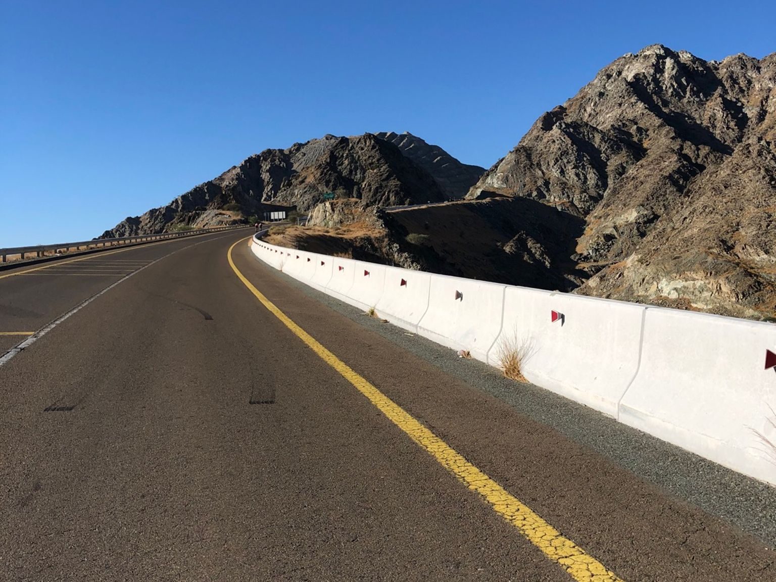
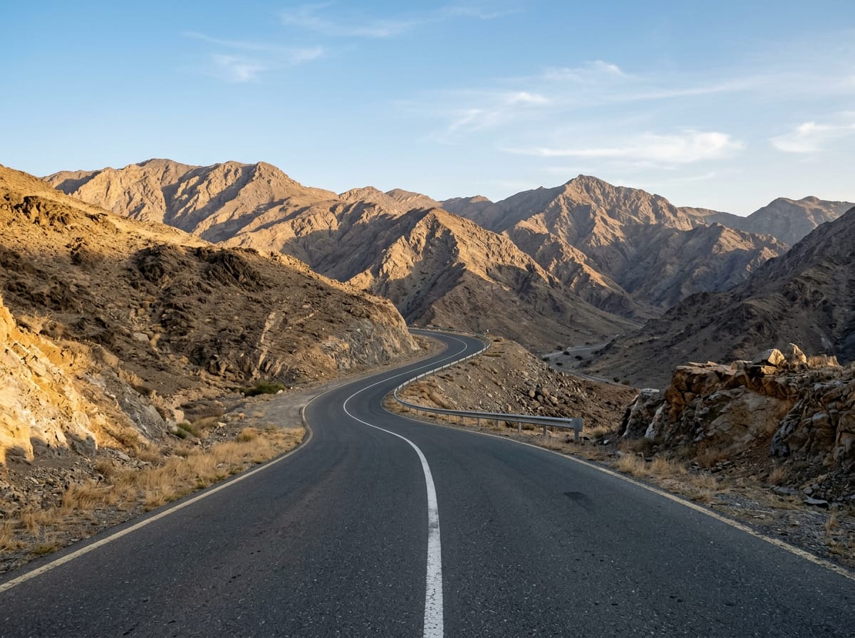
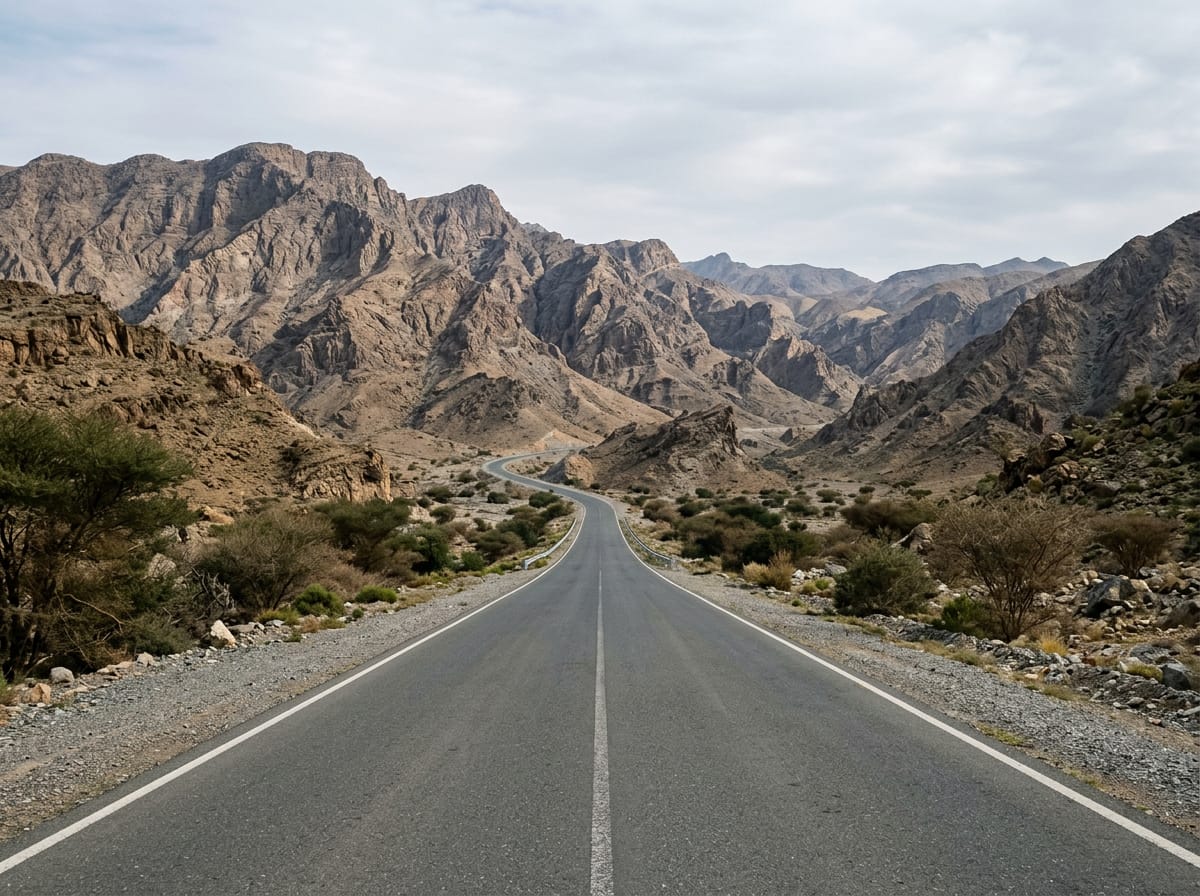
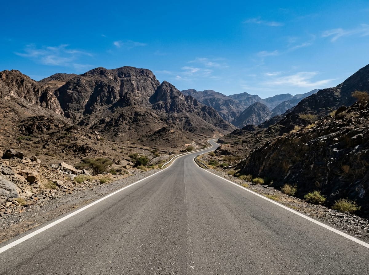
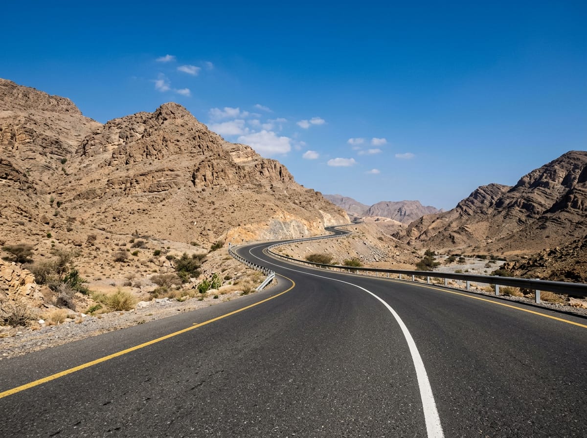
On the road: Adh Dhayd – Al Fujayrah via Al Heel
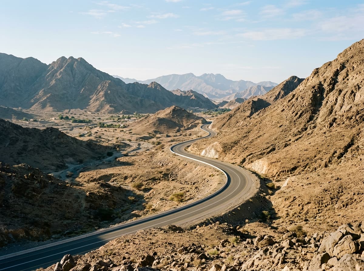
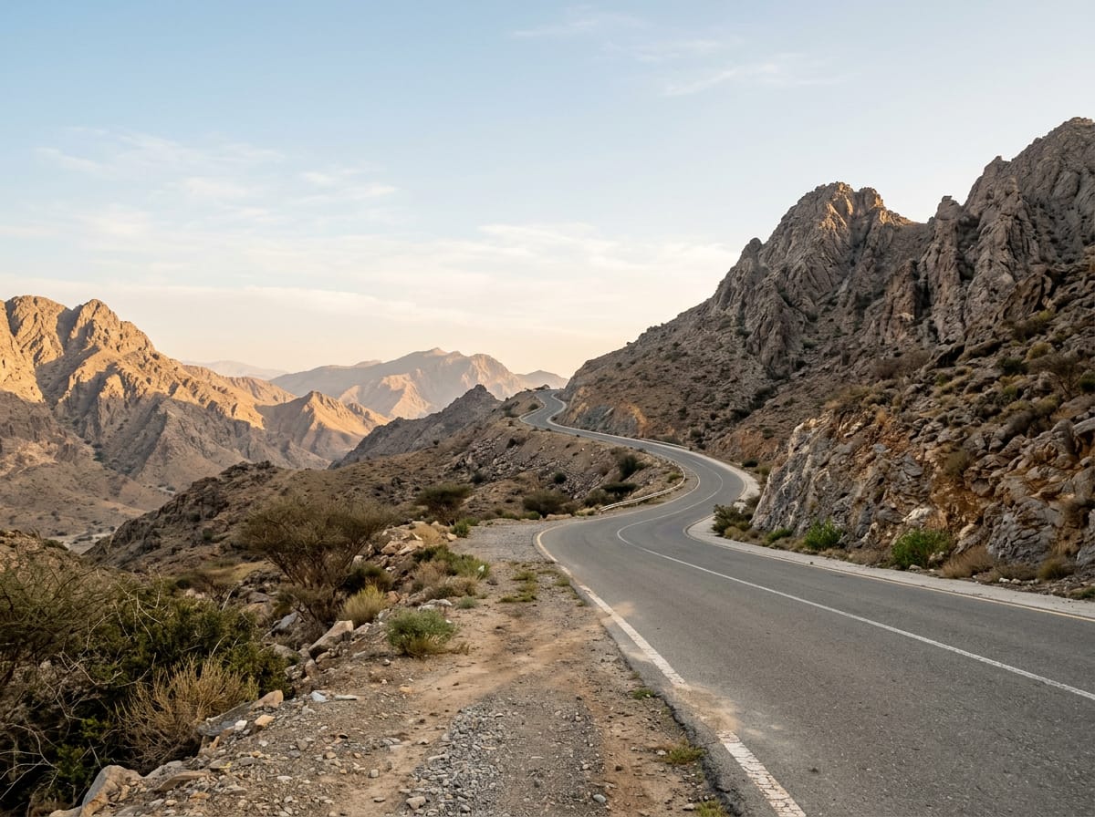
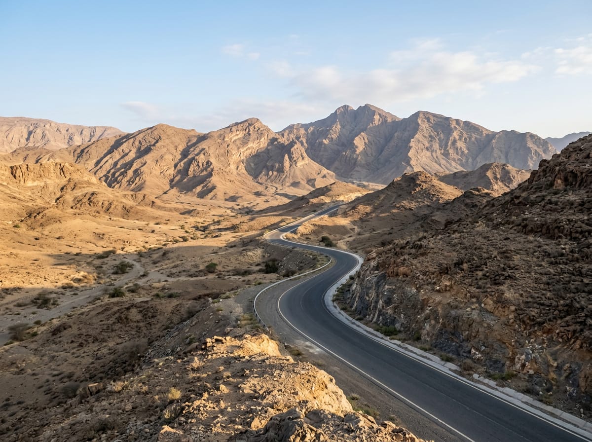
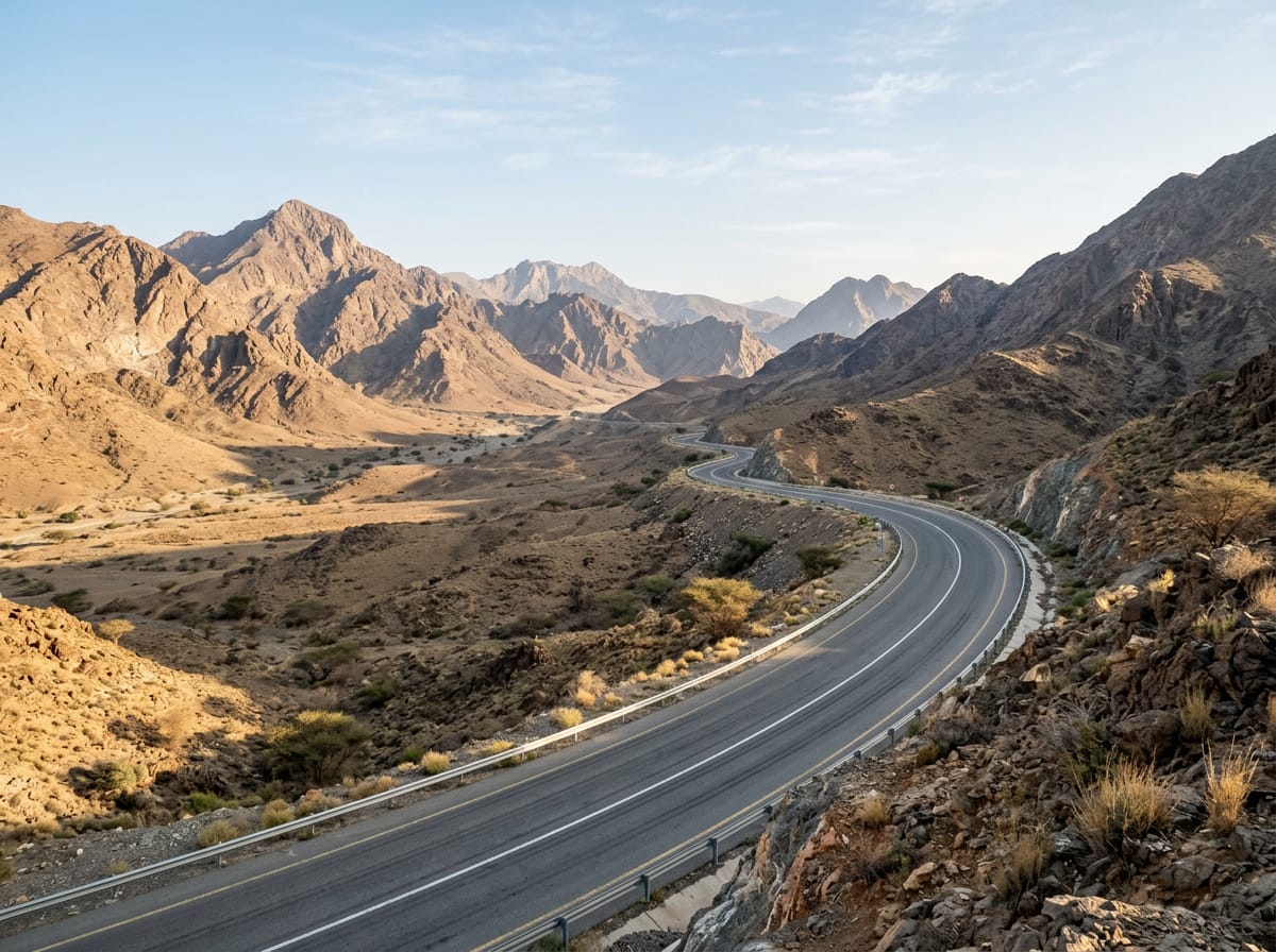
AI image

Elevation profile

Total ascent
1,237 m
Distance
101 km
0100200300400500600m0 km255075101 km488 m · highest, at 8.1 kmStartFinish · back at the start

Route overview

Suitable for riders who can handle 1237 m of climbing over 101 km.

101 km loop road ride in UAE's Hajar Mountains starting and ending at Adh Dhayd.

The route starts at Adh Dhayd and loops through several places including Munay at 20 km, Al Qilē'ī at 26 km, Al Heel at 60 km, and Shawka at 99 km before returning to Adh Dhayd. It includes a series of climbs, the first starting immediately with 3 km climbing 109 m at an average 3.7% gradient, reaching 400 m near Jabal Al Hinnah. Following this is a 3.6 km climb of 107 m to 489 m. Later climbs occur between km 22 and 39, with the most intense being a 3 km climb of 170 m averaging 5.8% gradient and at times reaching 15.1%. The highest point is 509 m at 36 km. The profile features roughly equal climbing and descending, with a longest descent of 9.5 km.

Highlights

  • Loop route starting and ending at Adh Dhayd
  • Climb reaching 509 m near km 36
  • Passes beneath Jabal Al Hinnah (637 m) and Jabal Ash Shahayrah (532 m)
  • Longest descent of 9.5 km from 41.7 km

Along the route

Measured from the recorded track and OpenStreetMap.

Places passed

  1. Munay 20.1 km
  2. Al Qilē'ī 26.2 km
  3. Fayyad 28.9 km
  4. Al Uqdah 45.1 km
  5. Ihfarah 51.4 km
  6. Al Heel 60.4 km
  7. Al Farfar 66.6 km
  8. Far`ah 68.1 km
  9. Madouk 69.9 km
  10. Mamduh 79.3 km
  11. Shawka 98.7 km

Climbs

ClimbStarts atLengthGainAverageMaxTop
0 km3 km109 m3.7 %5.4 %400 m
4.6 km3.6 km107 m3 %5.5 %489 m
22 km1.8 km48 m2.8 %4.1 %305 m
26.9 km1.2 km42 m3.6 %5.9 %273 m
29.6 km1.9 km46 m2.5 %5.1 %323 m
Harrah climb31.7 km3 km170 m5.8 %15.1 %497 m
38.8 km2.5 km55 m2.2 %4.8 %269 m
65 km3.7 km107 m2.9 %4.6 %200 m
Far`ah climb69.1 km6.4 km269 m4.2 %7.6 %475 m
85.2 km1.6 km43 m2.8 %5.3 %340 m

High point 509 m at 36.1 km; low point 30 m. Passes beneath Jabal Al Hinnah, Jabal Ash Shahayrah, Jabal Al Miqsha.

Harrah climb · starts at 31.7 km

4.3 km at 5% · 211 m
350400450500550m7.2%11%-5.2%0 km1234.1 km538 msteepest 10.7%
< 4%4 – 7%7 – 10%> 10%

Far`ah climb · starts at 69 km

7.4 km at 4.5% · 336 m
250300350400450m5.5%4.0%4.5%4.7%0 km123456.2 km476 msteepest 5.5%

What this ride is like

Measured from OpenStreetMap along the track and the elevation profile.

Roads
55% motorway · 31% main road · 6% minor road · 5% other
Main roads
86.5 km on main roads without a cycle lane — likely busier
Fast roads
55.2 km on roads with a limit of 80 km/h or more
Main roads used
H.H. Sheikh Khalifa Bin Zayed Freeway (27 km), Sharjah - Kalba Road (26 km), Mohammed Bin Zayed City (6 km)
Surface
Paved throughout
Gradient
27% climbing · 29% descending · 44% flat
Steep sections
6.1 km over 5% · 0.8 km over 8% · steepest 500 m averages 20.9% at 0 km
Longest descent
9.5 km from 41.7 km, dropping 235 m

Along the way

Within a few hundred metres of the track, from OpenStreetMap. Opening hours change — treat this as where to look, not a promise.

Longest stretch without a café, shop or water: 62 km, from 0 km to 62 km.

Food, water and shops

  1. 5.4 kmToilets · 30 m off route
  2. 13.2 kmToilets · 110 m off route
  3. 61.7 kmADNOC · petrol station · 50 m off route
  4. 78.7 kmDrinking water · 110 m off route
  5. 98.7 kmRestaurant · 120 m off route
  6. 98.7 kmWadi al meqaitei · convenience store · 120 m off route
  7. 98.7 kmDrinking water · 90 m off route
  8. 100.3 kmShowka Bicycles · bike shop · 460 m off route

At the start and finish

  • Showka Bicycles · bike shop · 600 m

Practical information

Surface
Paved
Route shape
Loop
Riding time
3½–4½ hours riding
Season
October with temperatures around 26°C.

Know before you go

  • 61.7 km stretch without a café, shop or water from start
  • 86.5 km on main roads without cycle lanes
  • 55.2 km on roads with speed limits over 80 km/h
  • A short unpaved section covering 1% of the route

Routes are for inspiration. Roads, surfaces and conditions change — check locally and ride within your limits.

More rides from Adh Dhayd