
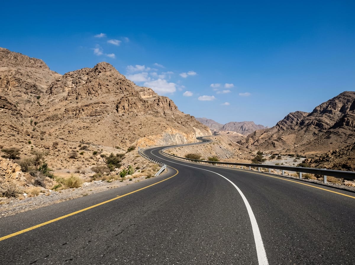
 AI image
Road · United Arab Emirates
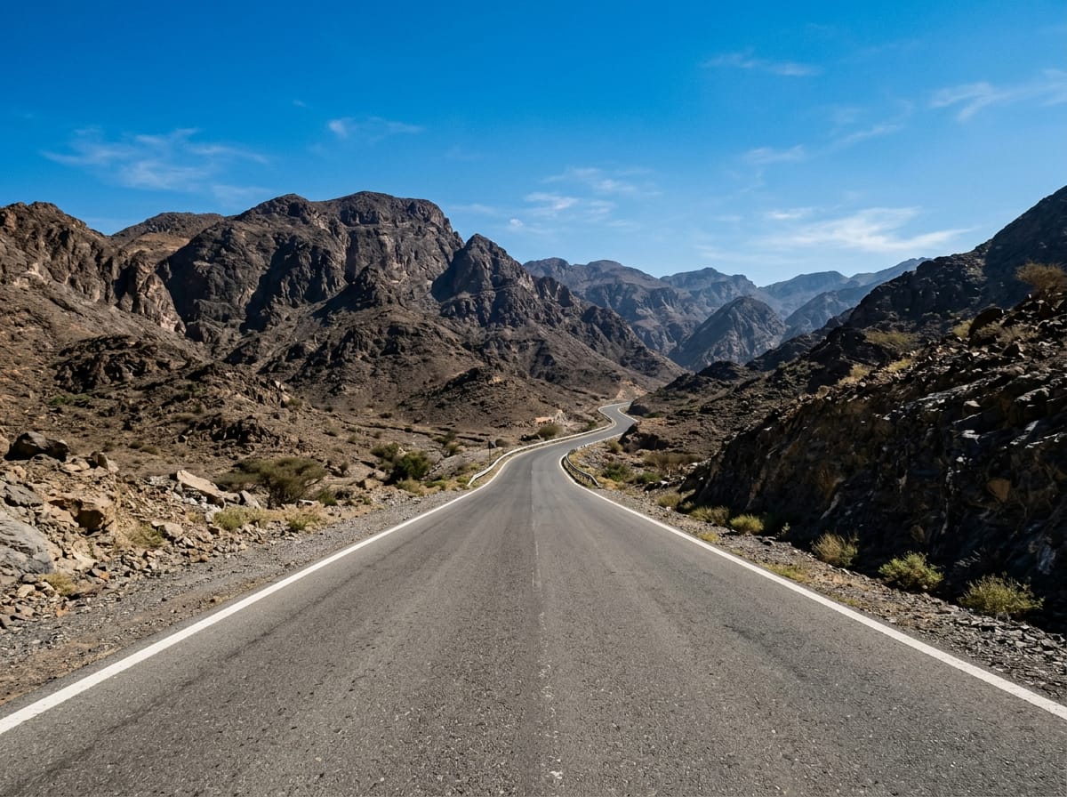
Riders capable of a medium distance with significant climbing and some fast, busy roads.
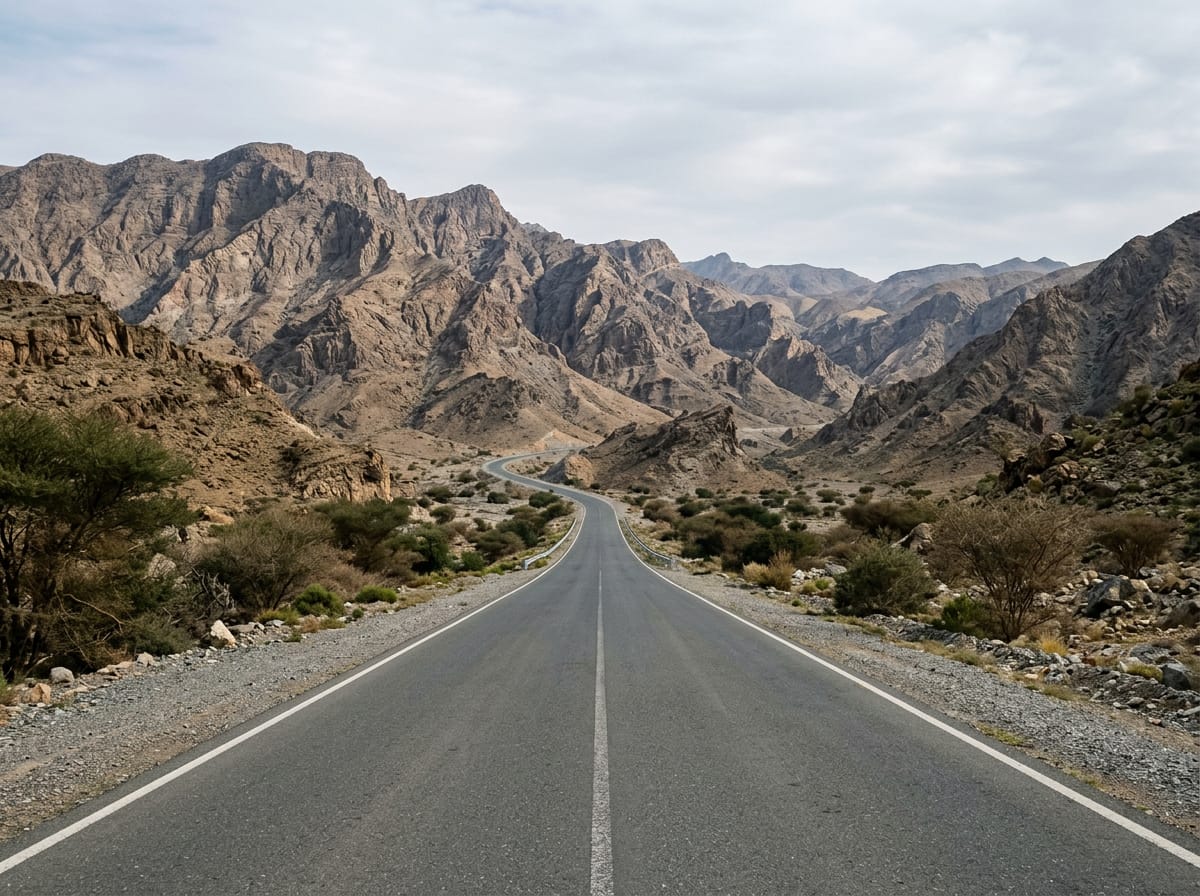
105.6 km loop ride in the Hajar Mountains, UAE, starting and ending at Adh Dhayd with 1170 m climbing.
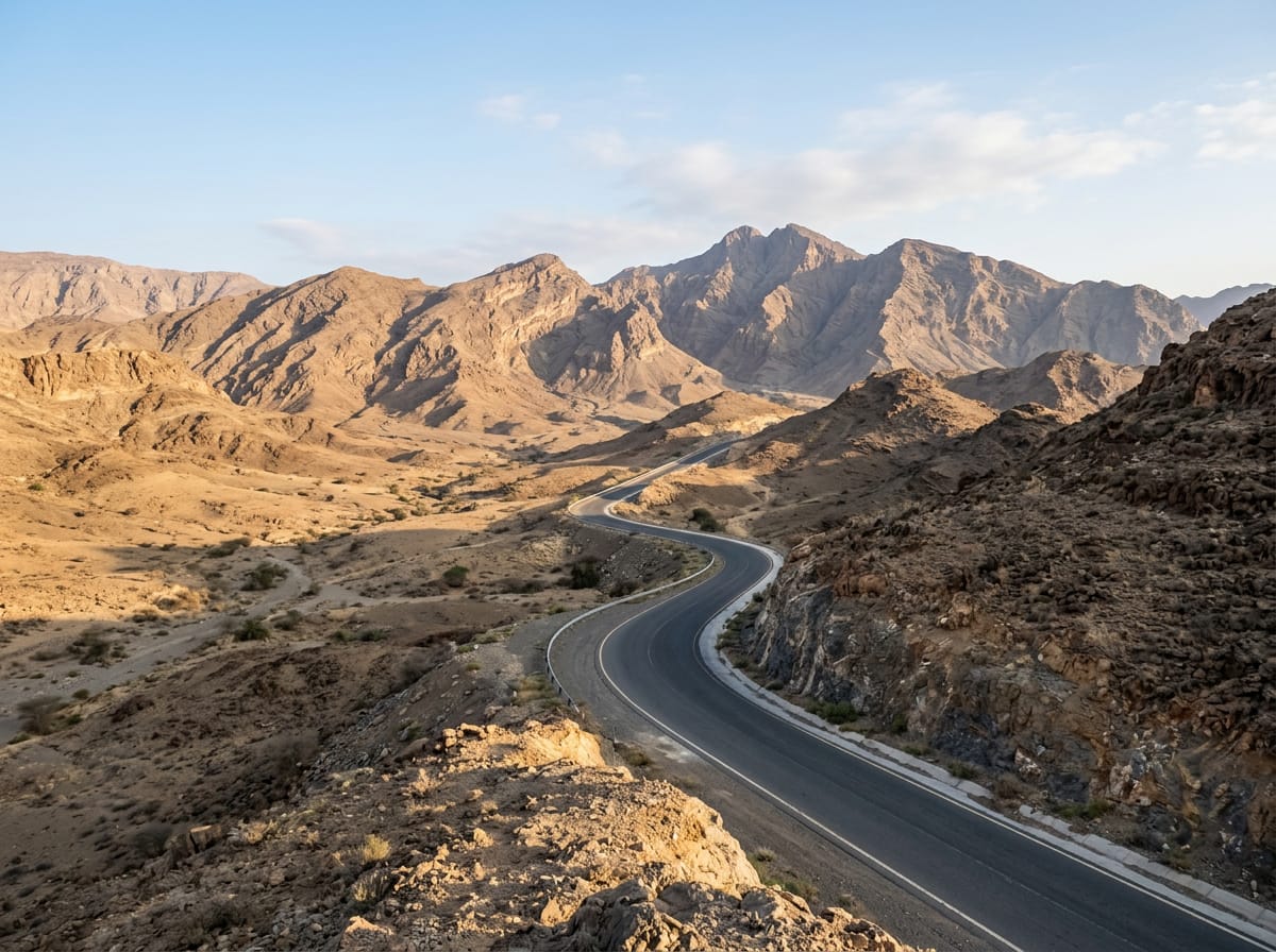
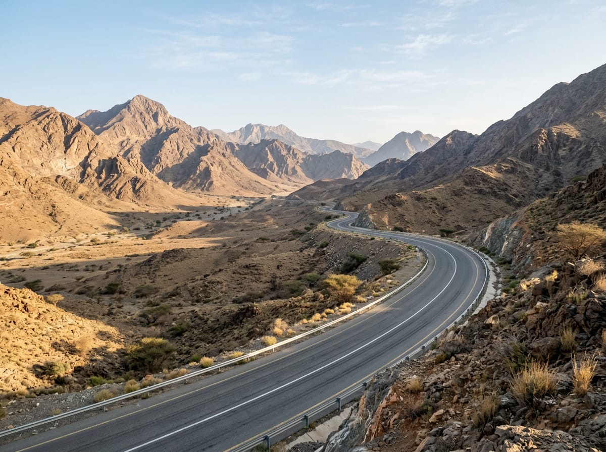
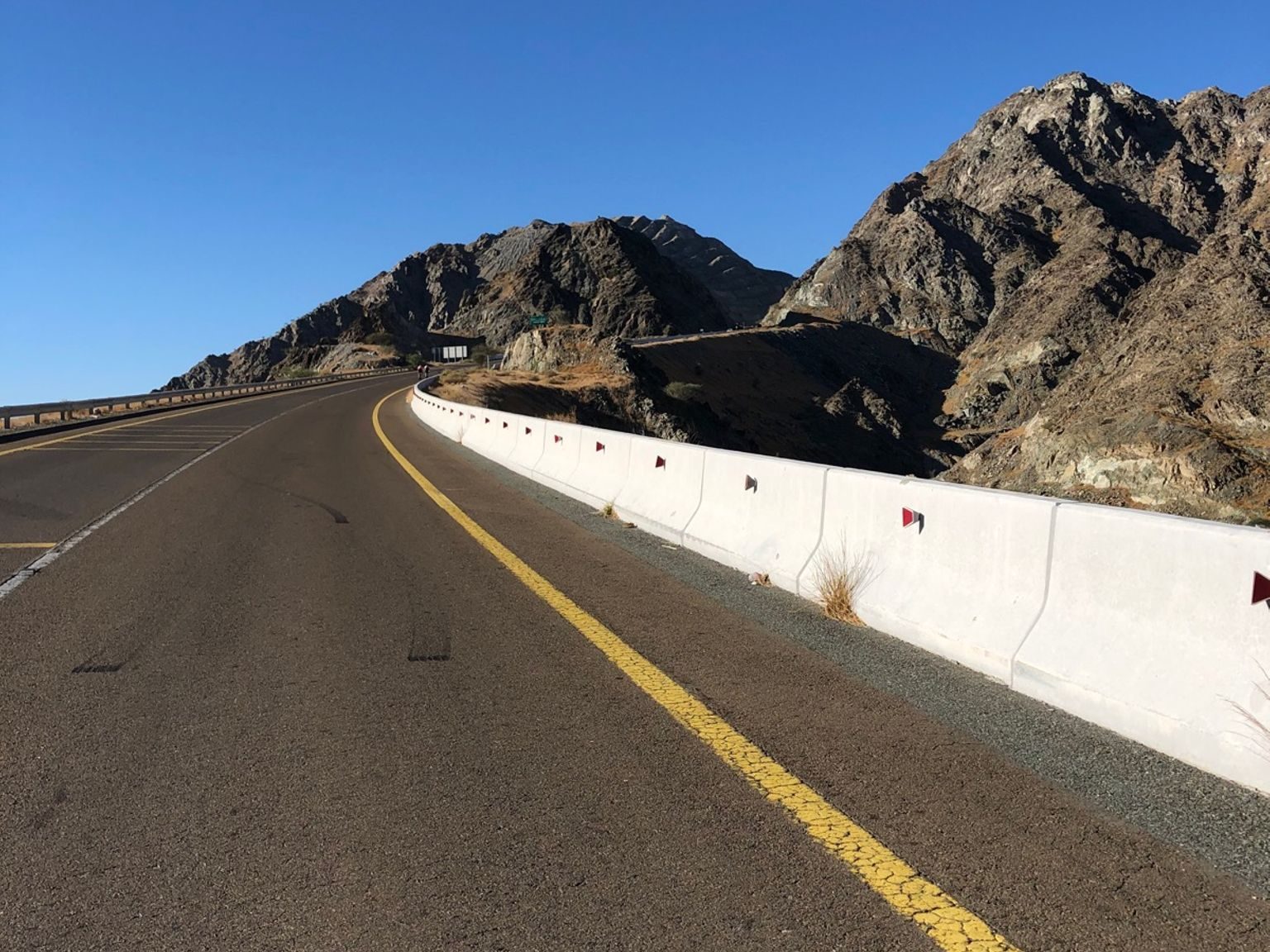
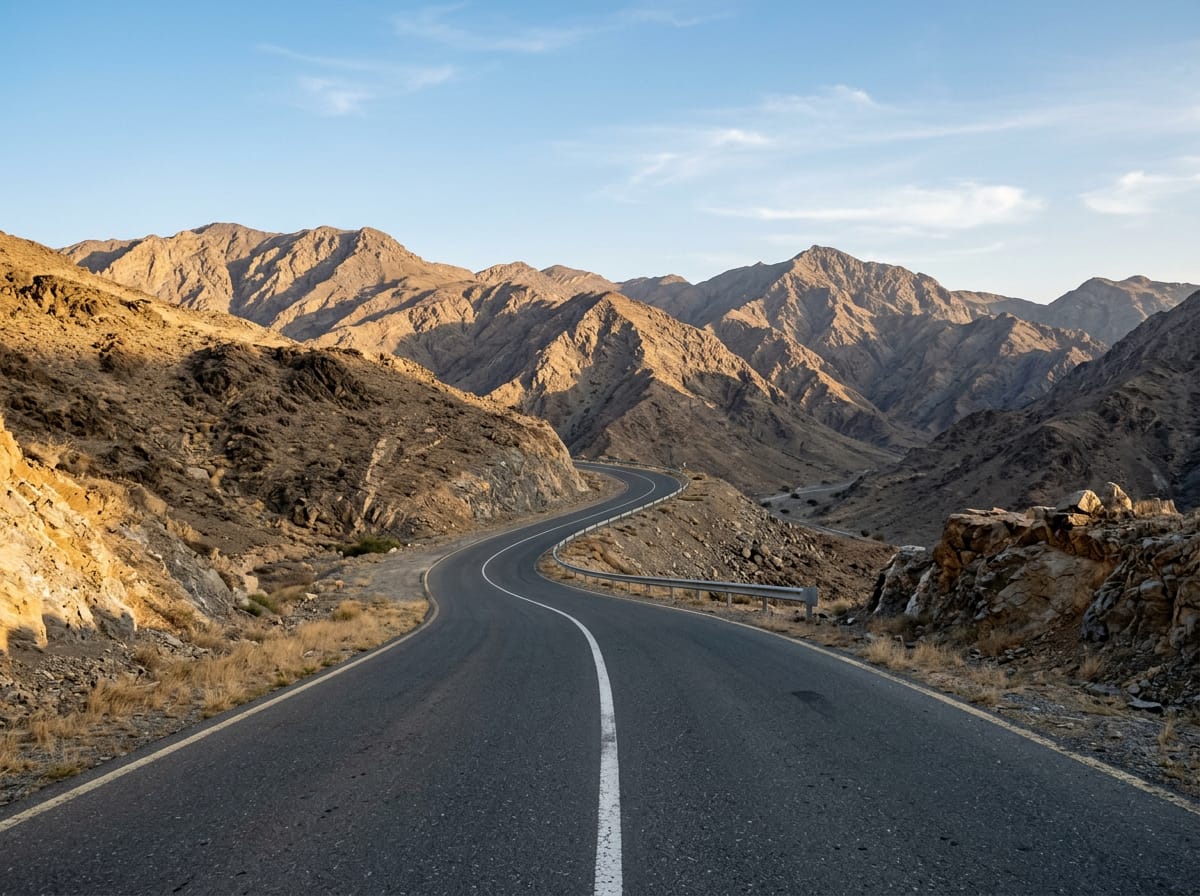
This 105.6 km loop begins and finishes at Adh Dhayd, passing through Mayya at 32 km and Tawiyean at 38.5 km. The route features 1170 m of climbing, mostly in the first half, with the highest point at 518 m near km 28.9. Key climbs include a 5.4 km ascent from km 23.5 averaging 6.5% with sections up to 14.4%, and shorter climbs around km 9.5 and km 30. Most of the route is paved, with 98% paved surface and 2% gravel or unpaved track. The ride includes 53.3 km on main roads and 39.6 km on minor roads, with 60.7 km on main roads lacking cycle lanes and nearly 59 km on roads with speed limits of 80 km/h or higher, including long stretches on Al Shohadaa Road. The longest descent is 9.7 km starting at km 48.1 dropping 207 m. There is no café, shop, or water supply between km 3.6 and 97.2, making early preparation essential. Food and drink are available at a restaurant near km 3.6 and another close to km 97.2 near Saram.
| Climb | Starts at | Length | Gain | Average | Max | Top |
|---|---|---|---|---|---|---|
| — | 9.5 km | 3.6 km | 89 m | 2.5 % | 5 % | 285 m |
| Jabal As Sowdah | 23.5 km | 5.4 km | 351 m | 6.5 % | 14.4 % | 518 m |
| — | 30 km | 1.5 km | 84 m | 5.7 % | 8.7 % | 514 m |
| — | 43.7 km | 1.9 km | 47 m | 2.5 % | 3.5 % | 285 m |
| Zahir As Safwah climb | 77.5 km | 7.2 km | 171 m | 2.4 % | 3.8 % | 284 m |
Longest stretch without a café, shop or water: 94 km, from 4 km to 97 km.
AI imageRoad · United Arab Emirates
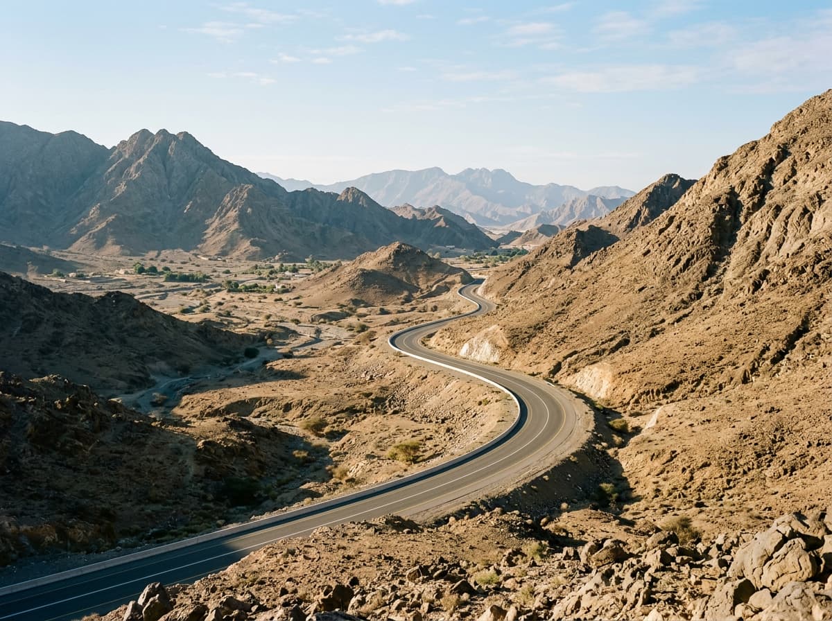 AI image
Road · United Arab Emirates
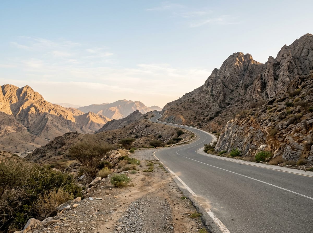 AI image
Road · United Arab Emirates
 AI image
Road · United Arab Emirates
 AI image
Road · United Arab Emirates
Road · United Arab Emirates
 AI image
Road · United Arab Emirates
 AI image
Road · United Arab Emirates