
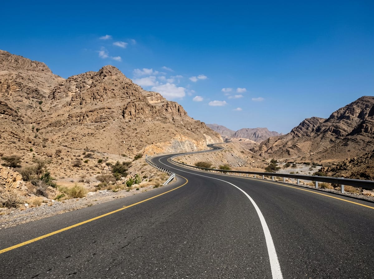
 AI image
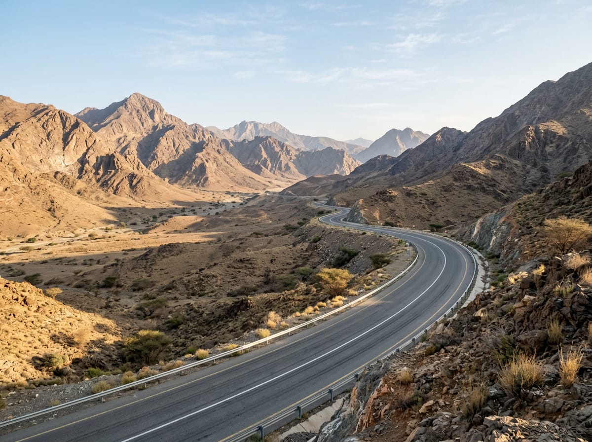
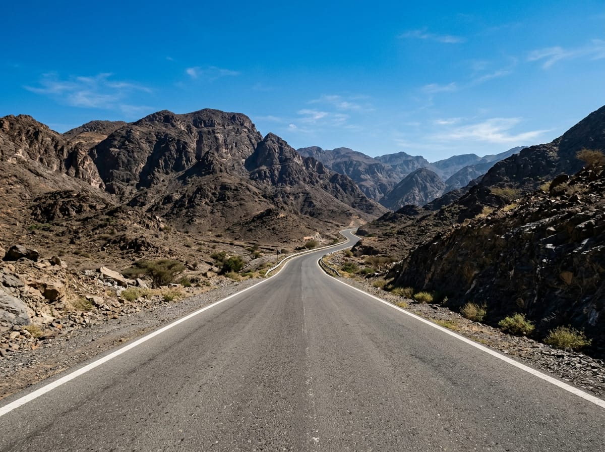
Road · United Arab Emirates
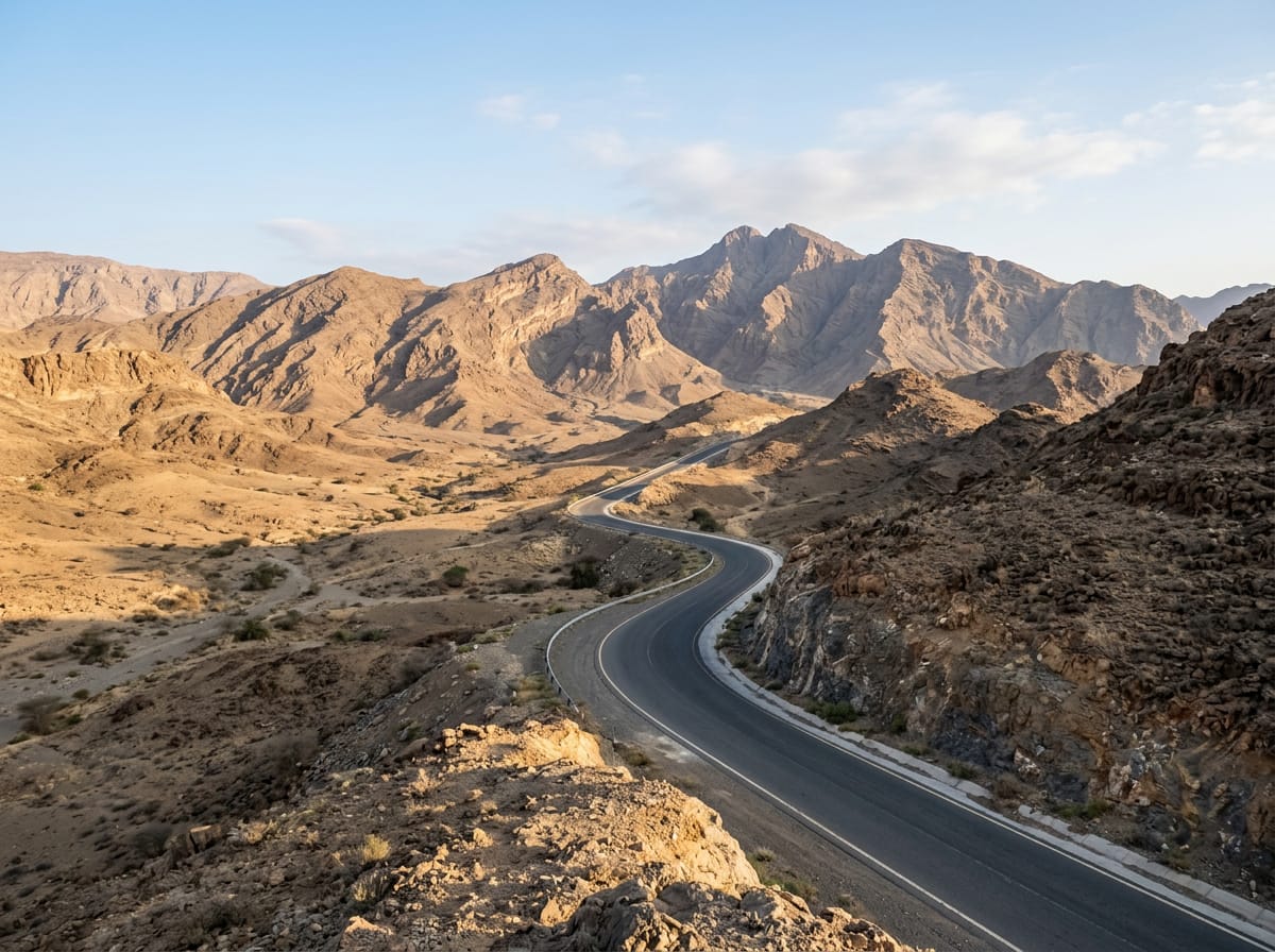
This ride suits cyclists able to handle nearly 80 km with moderate climbing totalling 865 m.
79.7 km loop in the Hajar Mountains from Adh Dhayd with 865 m climbing.
The ride starts and finishes in Adh Dhayd, passing through Yaif at 25.2 km, Sha'biyyat Milāḩ at 29.8 km, Huwaylat at 50.4 km, Al Wa'ab at 55.8 km, and Munay at 58.5 km. The route climbs gradually with five main ascents: from 14.3 km for 2.8 km with 110 m gain, then from 17.4 km for 2.5 km gaining 112 m up to 533 m, the highest point at 19.9 km. Another ascent starts at 38.3 km lasting 5.9 km with 187 m climb, and smaller climbs near 55.6 km and 65.5 km. The surface is mostly paved (98%) with a small gravel or unpaved section (2%). The route uses a mix of roads: 49% motorway, 42% main road, 6% minor road, and small proportions of track and quiet street. There are 71.9 km on main roads without cycle lanes and 31.3 km on roads with speed limits of 80 km/h or more. It includes long stretches on named roads Al Watan Road and Sharjah - Kalba Road, each over 18 km. The longest descent is 5.7 km starting at 44.5 km, dropping 182 m. Facilities include a supermarket, petrol station, and a bike shop around 37.8-37.9 km, plus toilets near 65.8 km and 73.4 km. No café or shop is available for 41.3 km from 37.9 km to 79.2 km. Showka Bicycles bike shop is at both start and finish points. Peaks near the road include Jabal Ash Shahayrah (532 m) and Jabal Al Hinnah (637 m) near 73-76 km.
| Climb | Starts at | Length | Gain | Average | Max | Top |
|---|---|---|---|---|---|---|
| — | 14.3 km | 2.8 km | 110 m | 4 % | 10.7 % | 443 m |
| — | 17.4 km | 2.5 km | 112 m | 4.6 % | 9.3 % | 533 m |
| As Simsimānīyah climb | 38.3 km | 5.9 km | 187 m | 3.2 % | 9.2 % | 406 m |
| — | 55.6 km | 1.2 km | 44 m | 3.6 % | 6.1 % | 278 m |
| — | 65.5 km | 4.9 km | 146 m | 3 % | 7.7 % | 482 m |
Longest stretch without a café, shop or water: 41 km, from 38 km to 79 km.
AI imageRoad · United Arab Emirates
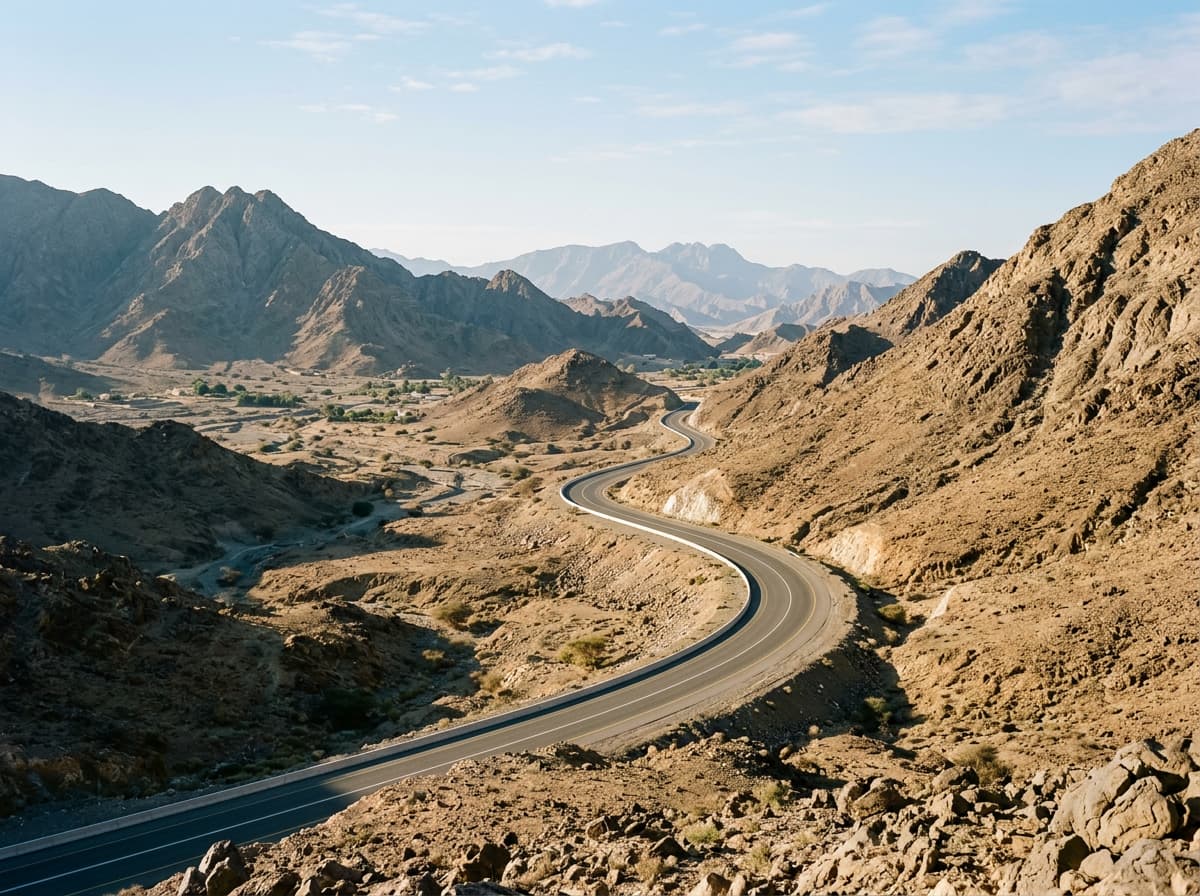 AI image
Road · United Arab Emirates
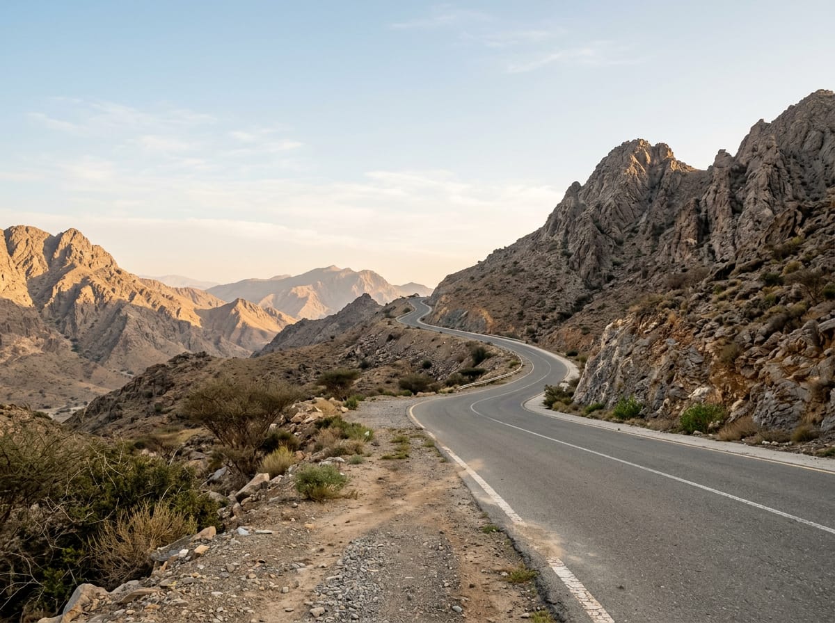 AI image
Road · United Arab Emirates
 AI image
Road · United Arab Emirates
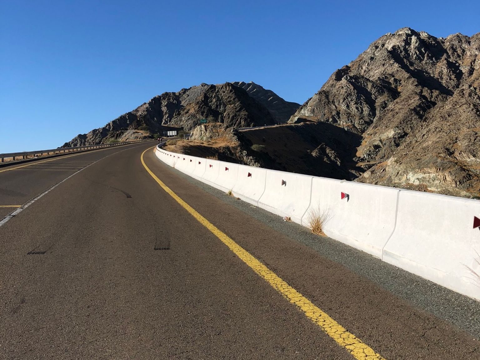
Road · United Arab Emirates
 AI image
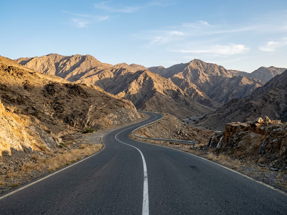
Road · United Arab Emirates
 AI image
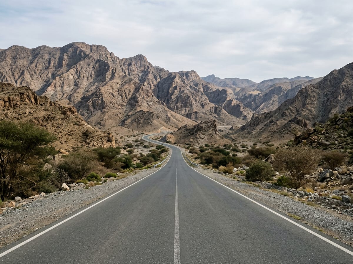
Road · United Arab Emirates
 AI image
Road · United Arab Emirates