
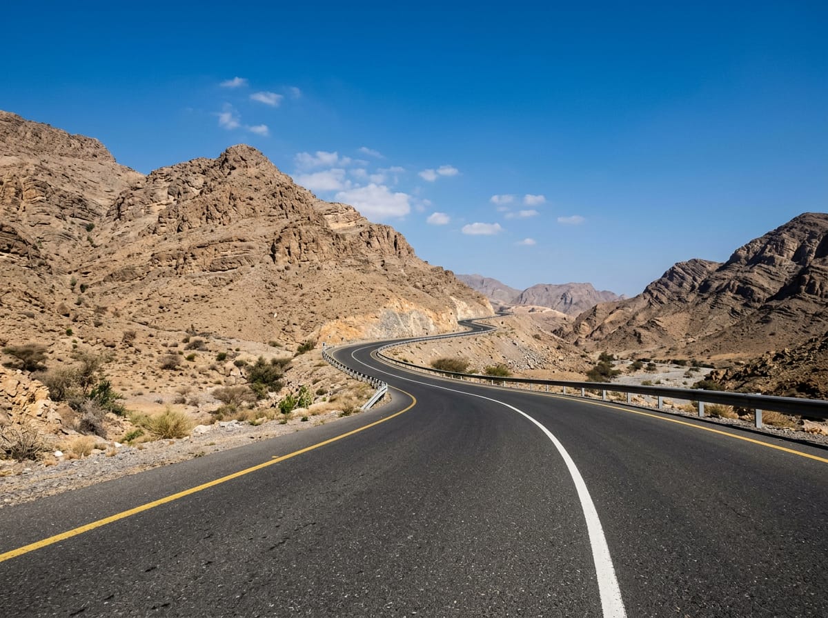
 AI image
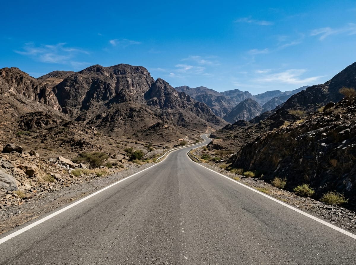
Road · United Arab Emirates
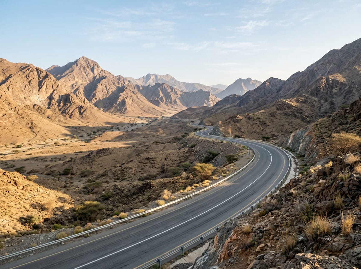
Suitable for cyclists comfortable with 75 km distance and 1017 m total climbing.
75 km loop in the Hajar Mountains from Adh Dhayd with 1017 m climbing.
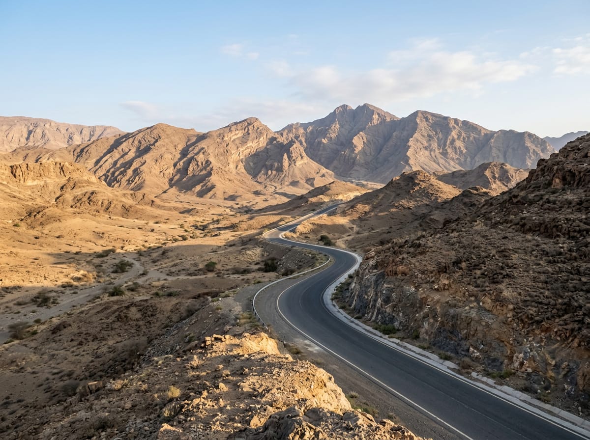
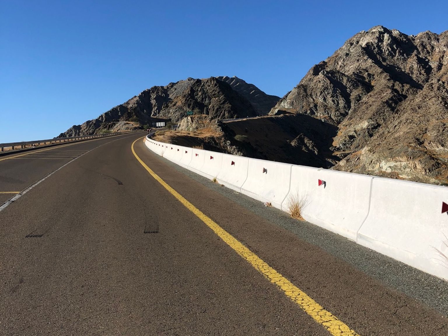
This 75 km loop starts and finishes in Adh Dhayd, in the Hajar Mountains of the United Arab Emirates. The route passes through Munay at 28 km and Minazif at 47 km, with a brief visit to Al Qilē'ī at 48 km. Climbing begins early, with two main sustained climbs between km 8.5 and km 16.7, reaching the highest point at 488 m before descending towards the lowest point at 162 m around km 42.5. Afterward, the profile features several shorter climbs under 5 km with gradients up to 13.7%. There is a notable steep section of 500 m at 18%.
| Climb | Starts at | Length | Gain | Average | Max | Top |
|---|---|---|---|---|---|---|
| — | 8.5 km | 3 km | 107 m | 3.6 % | 5.4 % | 399 m |
| — | 13.2 km | 3.5 km | 105 m | 3 % | 5.6 % | 488 m |
| — | 30.3 km | 1.8 km | 49 m | 2.7 % | 4 % | 305 m |
| — | 35.3 km | 1.4 km | 81 m | 5.6 % | 13.7 % | 314 m |
| — | 40.2 km | 1.3 km | 55 m | 4.3 % | 11.6 % | 239 m |
| — | 42.5 km | 1.9 km | 68 m | 3.6 % | 6.8 % | 230 m |
| — | 44.6 km | 1.9 km | 93 m | 5 % | 8.4 % | 315 m |
| — | 48.4 km | 2 km | 66 m | 3.3 % | 5.3 % | 308 m |
| — | 61.4 km | 4.9 km | 147 m | 3 % | 8.1 % | 482 m |
Longest stretch without a café, shop or water: 75 km, from 0 km to 75 km.
AI imageRoad · United Arab Emirates
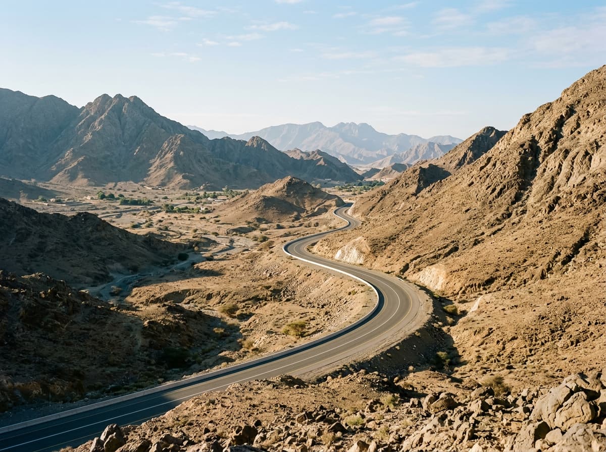 AI image
Road · United Arab Emirates
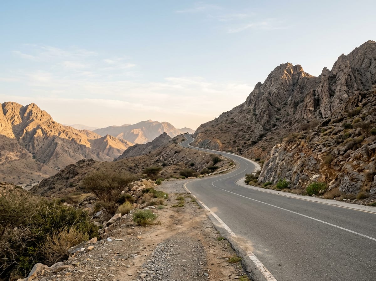 AI image
Road · United Arab Emirates
 AI image
Road · United Arab Emirates
Road · United Arab Emirates
 AI image
Road · United Arab Emirates
 AI image
Road · United Arab Emirates
 AI image
Road · United Arab Emirates