
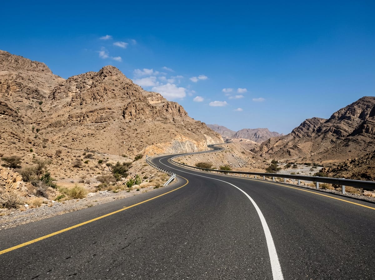
 AI image
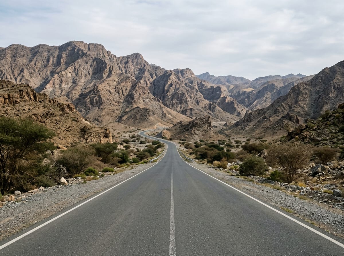
Road · United Arab Emirates
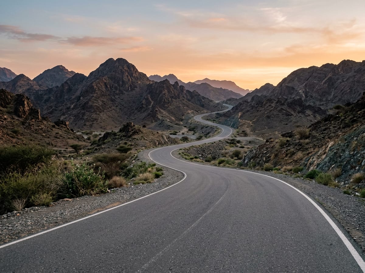
Suitable for riders prepared for a long 117 km route with 1136 m climbing and fast traffic on main roads.
117 km loop ride in the UAE's Hajar Mountains, starting and finishing at Adh Dhayd with 1136 m climbing.
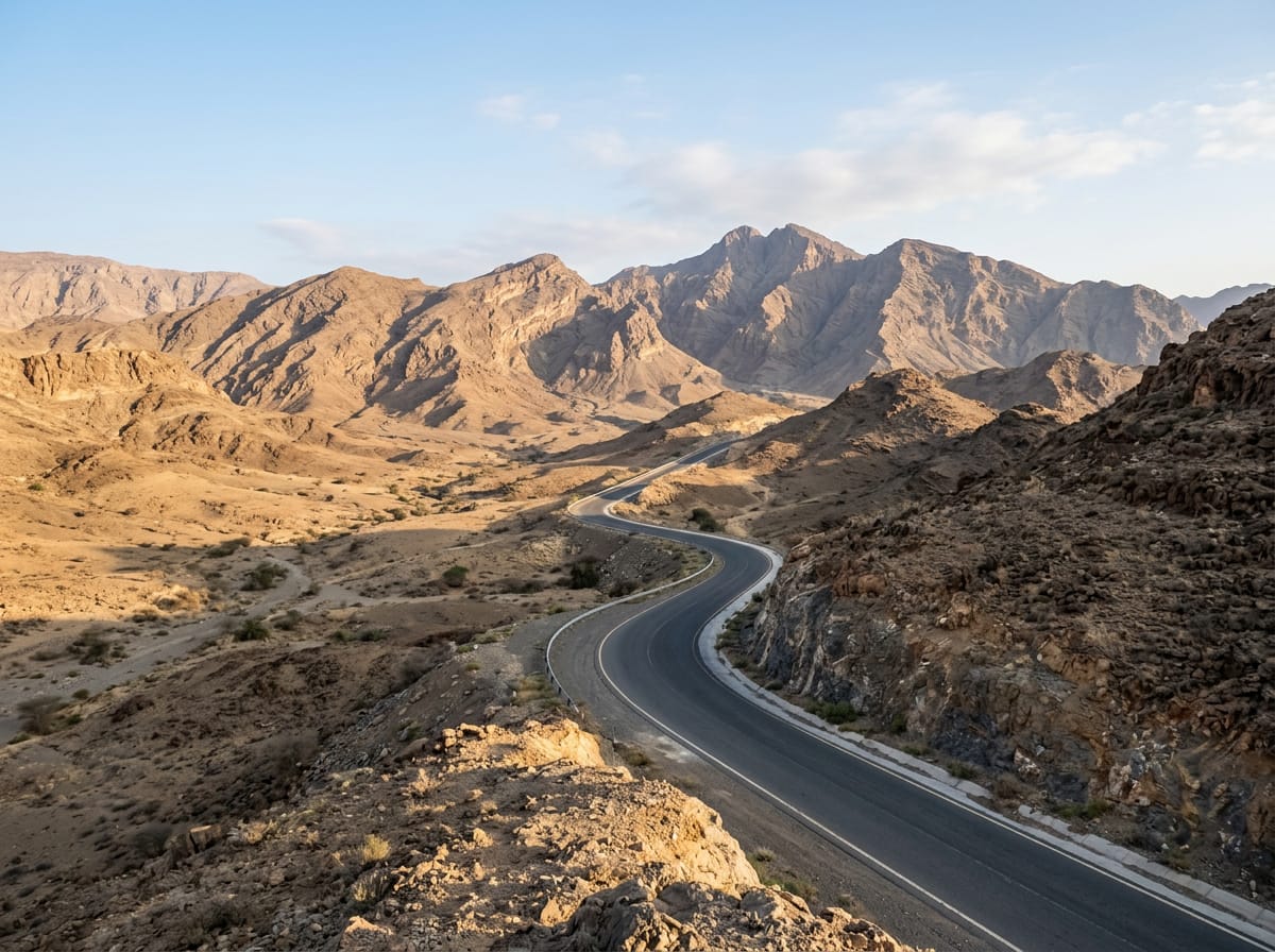
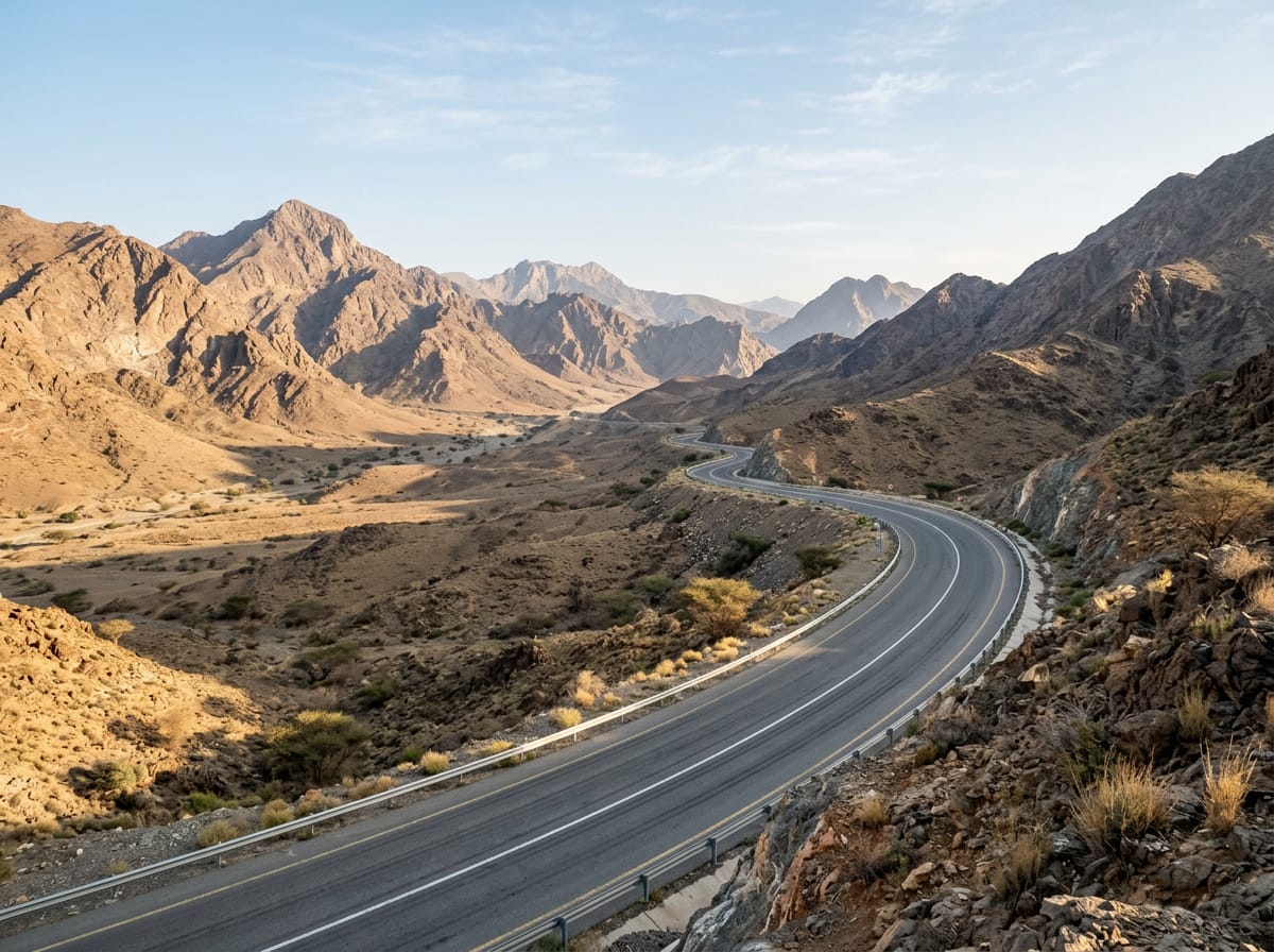
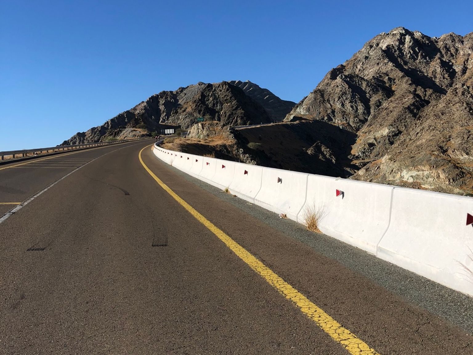
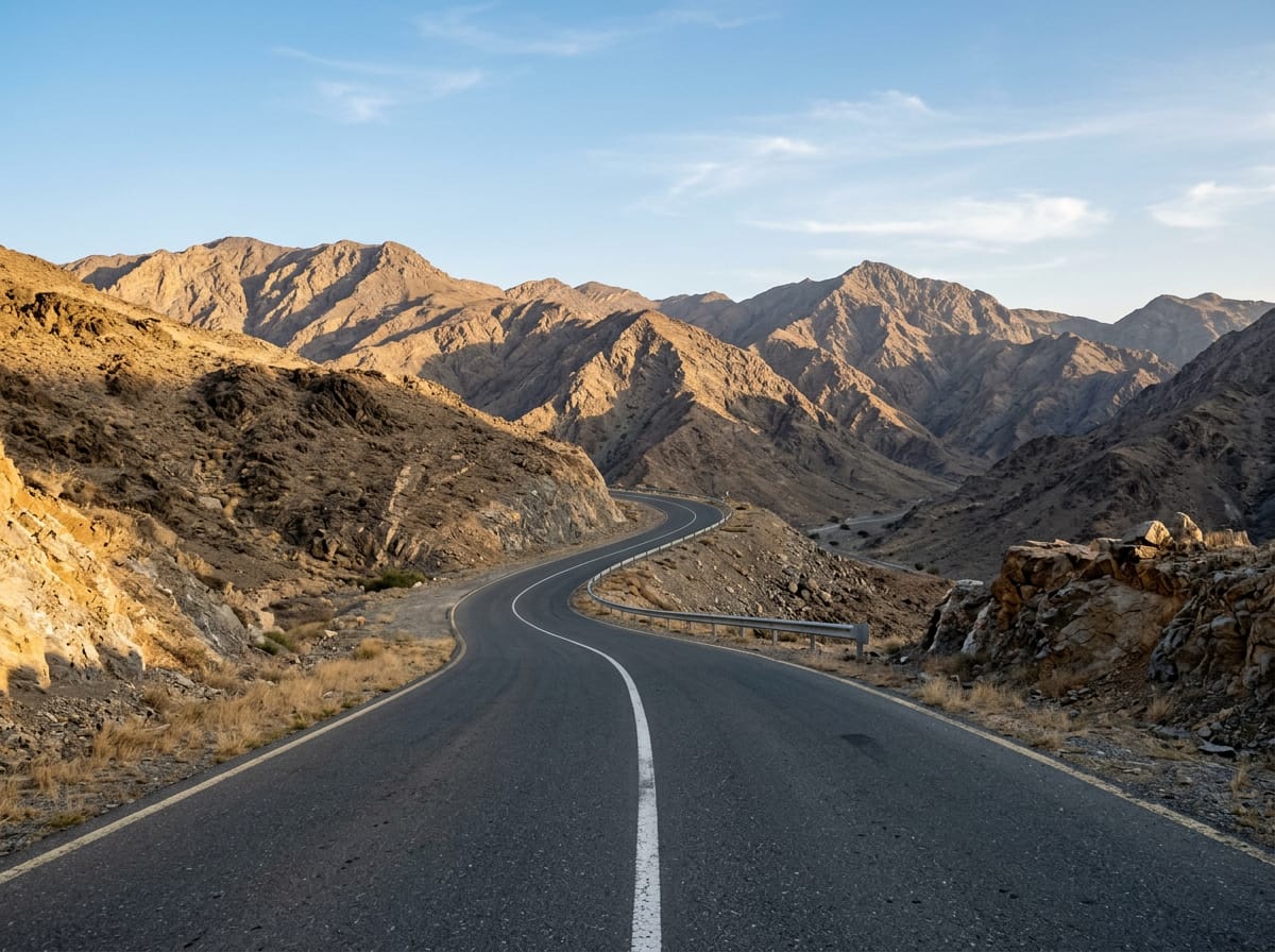
This 117.3 km loop begins and ends at Adh Dhayd, passing Tariqat Ja`d, Al Halah, Abadilah, Masafi, and Saram. The route includes three main climbs: a 3.9 km ascent starting at 9.1 km with an average gradient of 2.4%, a steeper 4.9 km climb starting at 41.7 km averaging 4.8% with sections up to 14.6%, and a final 6.9 km incline from 92.8 km at 2.4% average. The highest point on the ride is 534 m at 50.9 km, and the lowest is 74 m at 90.5 km, beneath Qarn Fardah (310 m) near 23 km. The riding surface is overwhelmingly paved (99%), with just 1% gravel or unpaved. The route covers a mix of roads: 59.1 km on main roads, 43.3 km on major roads, 11.1 km of minor roads, 2.1 km of quiet streets, and 1.1 km of track. Most of the ride (102.4 km) is on main roads without cycle lanes, and 91.8 km are on roads with speed limits of 80 km/h or more. The two longest named roads are Al Shohadaa Road (50.2 km) and Masafi-Dibba Road (42.4 km). The longest descent is 9.3 km starting at 66.2 km with a 255 m drop. Food and drink options at the start and finish include the ADNOC Oasis supermarket and Al Shuara Restaurant. Other places to refuel include Nujoom Al Saram restaurant near 3.6 km and Al Dahreez bakery at 61.3 km. There is a 49.5 km stretch without café, shop or water between 62.7 km and 112.2 km. Petrol stations are located close to the start, at 35.9 km, and 55.3 km. Archaeological site Site 8 with beehive tombs lies just off the route at 14.7 km, and Wadi Al Abadilah trails at 74.8 km.
| Climb | Starts at | Length | Gain | Average | Max | Top |
|---|---|---|---|---|---|---|
| — | 9.1 km | 3.9 km | 93 m | 2.4 % | 4.8 % | 286 m |
| Al Ghūnah climb | 41.7 km | 4.9 km | 235 m | 4.8 % | 14.6 % | 506 m |
| Zahir As Safwah climb | 92.8 km | 6.9 km | 166 m | 2.4 % | 3.6 % | 279 m |
Longest stretch without a café, shop or water: 50 km, from 63 km to 112 km.
AI imageRoad · United Arab Emirates
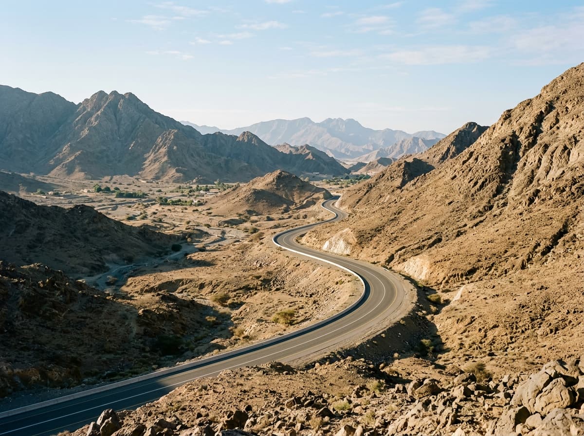 AI image
Road · United Arab Emirates
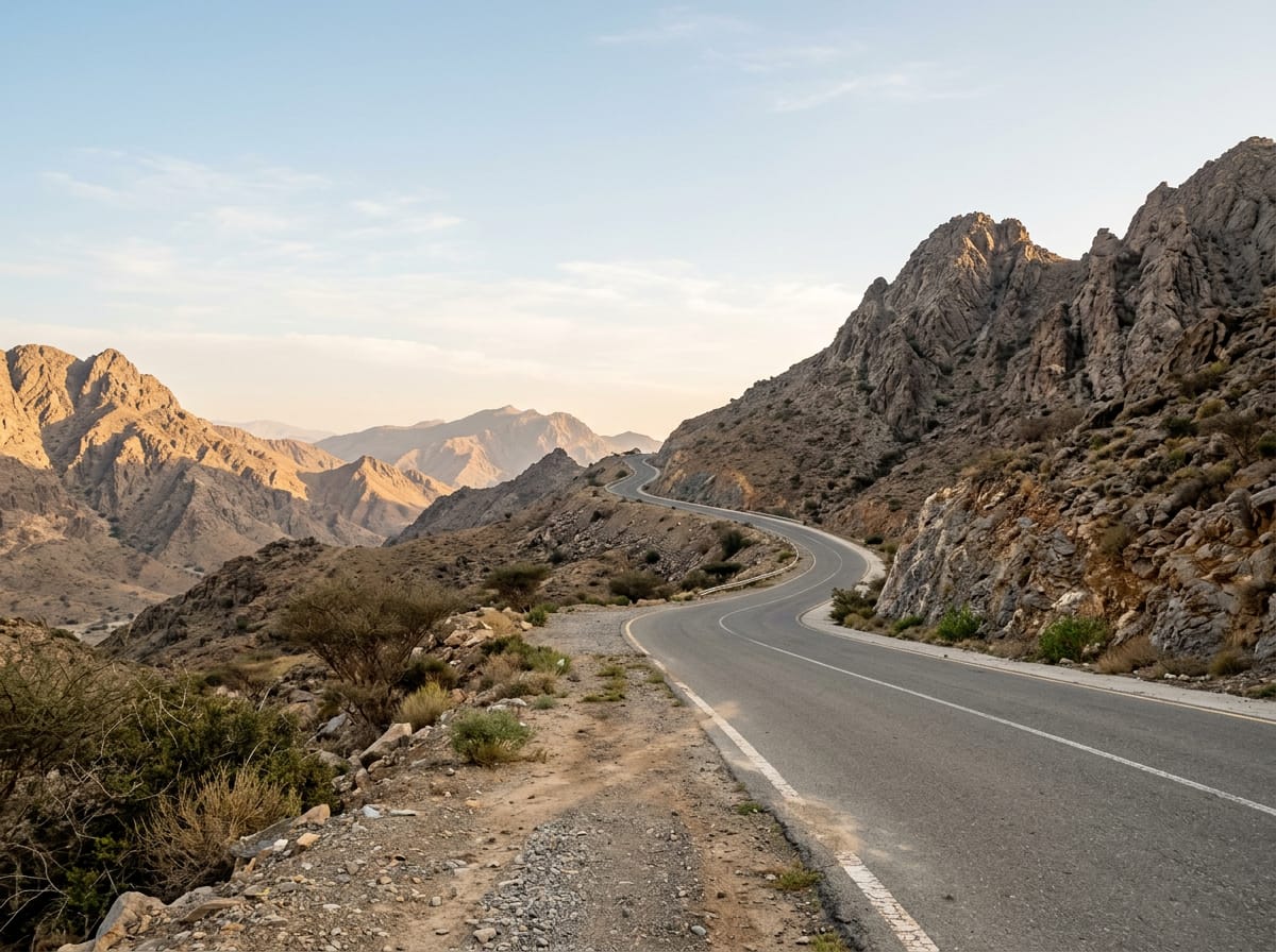 AI image
Road · United Arab Emirates
 AI image
Road · United Arab Emirates
 AI image
Road · United Arab Emirates
Road · United Arab Emirates
 AI image
Road · United Arab Emirates
 AI image
Road · United Arab Emirates