Cyclists.com

Adh Dhayd – Khawr Fakkan via Thoban

Adh Dhayd, Hajar Mountains, United Arab EmiratesRoad

103 km
Distance
824 m
Elevation gain
Hard
Difficulty
Paved
Surface
Download GPXMap
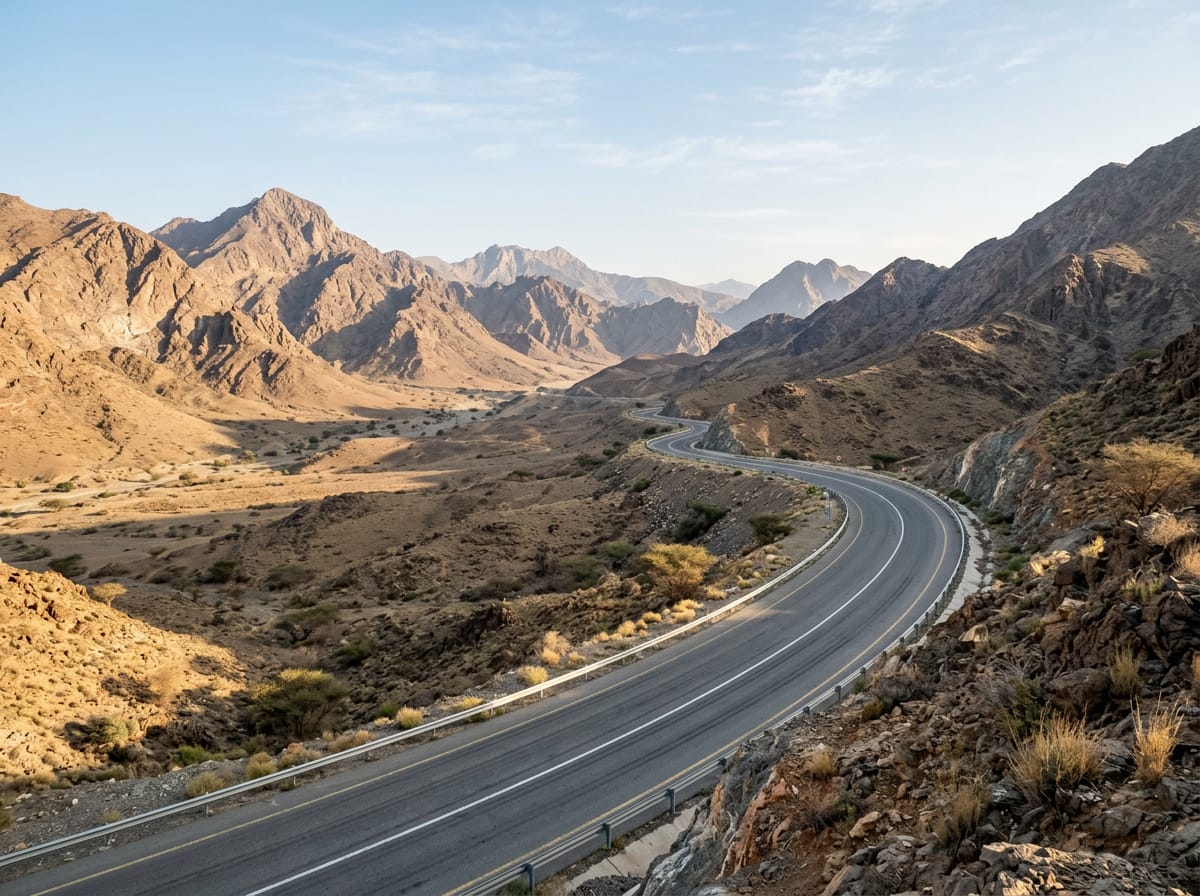
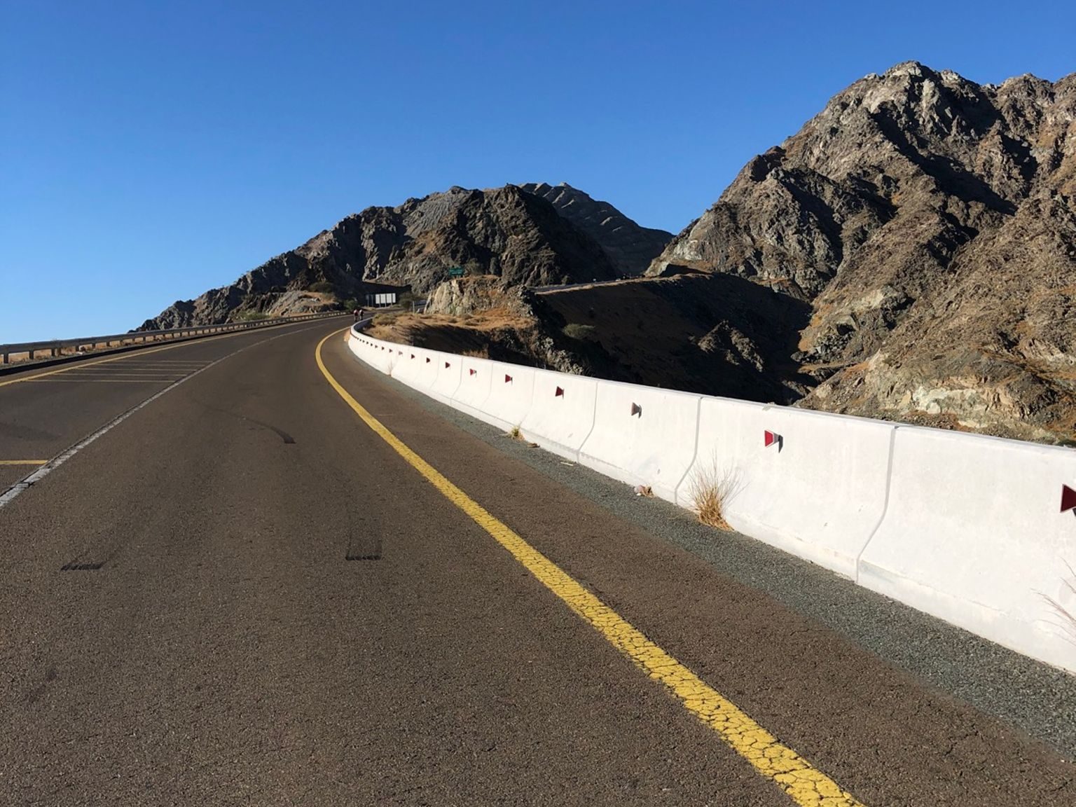
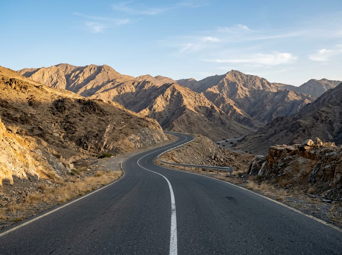
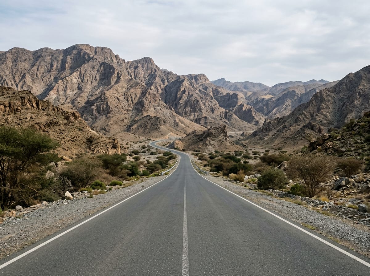
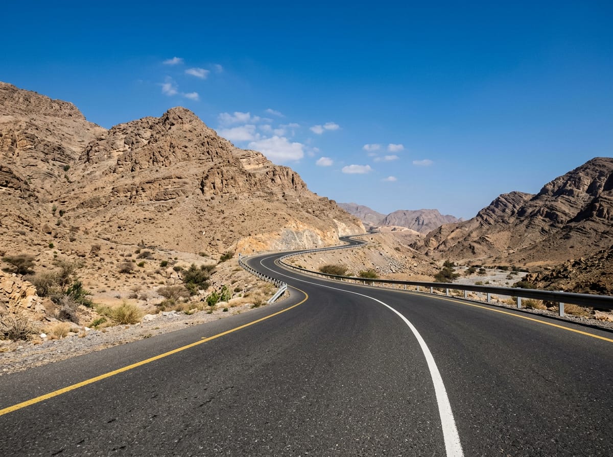
On the road: Adh Dhayd – Khawr Fakkan via Thoban

Elevation profile

Total ascent
824 m
Distance
103 km
0200400600m0 km255075103 km535 m · highest, at 52.5 kmStartFinish · back at the start

Route overview

Suitable for riders ready for a 103 km distance with moderate climbing totalling 824 m.

103 km loop from Adh Dhayd through the Hajar Mountains with 824 m climbing in United Arab Emirates.

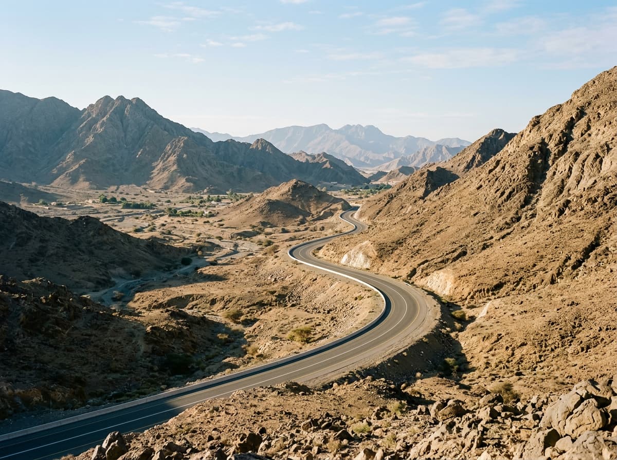
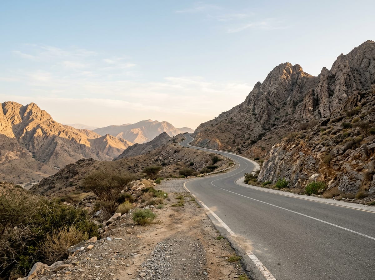
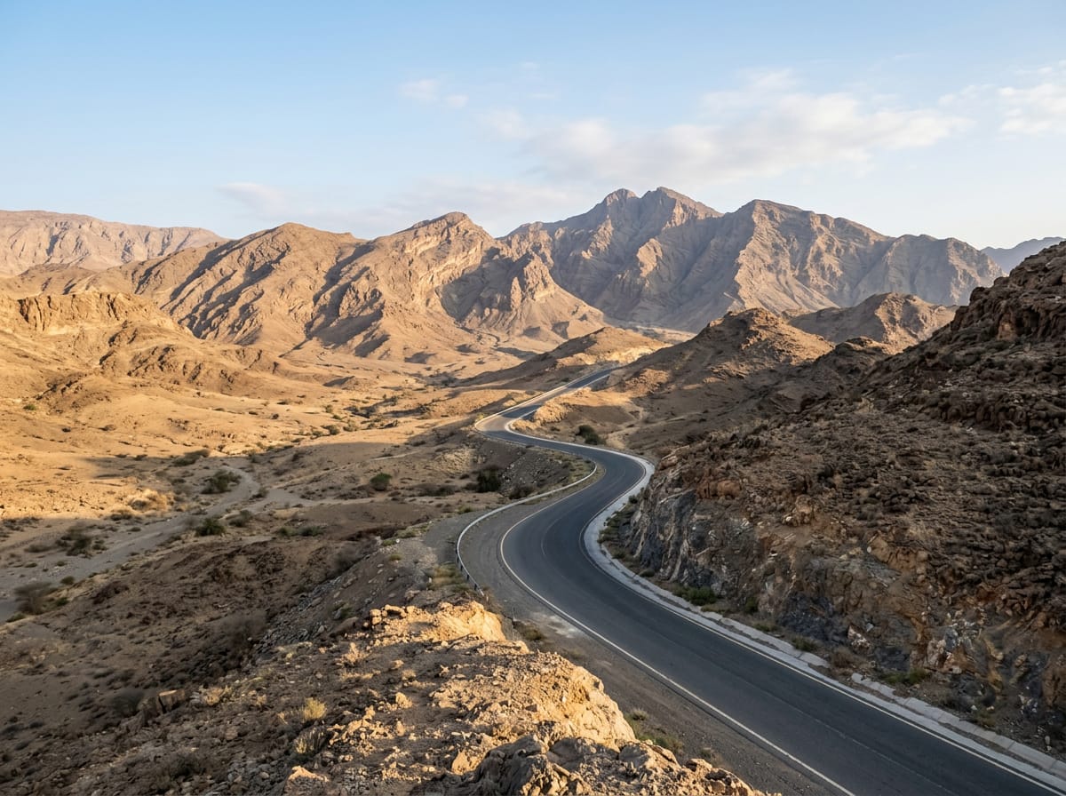
Starting in Adh Dhayd, the route passes through several places including Saram at 3.7 km, Jerief at 9.9 km, and Masafi at 59.3 km before returning. The ride features three main climbs: one beginning near 9.1 km lasting 3.6 km with 90 m gain; a second at 29.5 km of 2.7 km gaining 79 m; and a longer climb from 43.7 km over 4.6 km with 230 m gain, reaching a high point of 534 m around 52.4 km. The elevation varies from a low of 74 m at 25.7 km to the high point at 534 m. The route is mostly paved, 99%, with no gravel or unpaved sections noted.

Highlights

  • Three climbs with max gradients up to 15%
  • Highest point at 534 m near 52 km
  • Passes Masafi at 59 km
  • Loop through Hajar Mountains

Along the route

Measured from the recorded track and OpenStreetMap.

Places passed

  1. Saram 3.7 km
  2. Sram 7 km
  3. Jerief 9.9 km
  4. المحترقة 16.1 km
  5. Tariqat Ja`d 18.2 km
  6. Zahir al Ya'ad 18.6 km
  7. Zahir As Safwah 22.2 km
  8. Ghub 24.7 km
  9. Al Halah 38.1 km
  10. Abadilah 40.5 km
  11. Al Ghūnah 45.6 km
  12. Al Tayyibah 49.5 km
  13. Al Khalabiya 49.7 km
  14. Al Baha 49.9 km
  15. Masafi 59.3 km
  16. Al Ghamarah 59.8 km
  17. Thoban 74.7 km
  18. Manama 80.2 km
  19. Al Manamah 80.2 km
  20. Al Haniyah 82.8 km

Climbs

ClimbStarts atLengthGainAverageMaxTop
9.1 km3.6 km90 m2.5 %5.1 %286 m
29.5 km2.7 km79 m2.9 %5.6 %187 m
Al Ghūnah climb43.7 km4.6 km230 m5 %15 %505 m

High point 534 m at 52.4 km; low point 74 m. Passes beneath Qarn Fardah, Jabal Tus, Jabal Ashqar.

Al Ghūnah climb · starts at 43.7 km

4.9 km at 4.8% · 235 m
300350400450500m2.0%1.8%3.4%3.2%5.7%3.4%2.3%0 km12345678.4 km506 msteepest 5.7%
< 4%4 – 7%7 – 10%> 10%

What this ride is like

Measured from OpenStreetMap along the track and the elevation profile.

Roads
68% major road · 27% main road · 3% quiet street · 2% minor road
Main roads
97.5 km on main roads without a cycle lane — likely busier
Fast roads
92.3 km on roads with a limit of 80 km/h or more
Main roads used
Masafi-Dibba Road (29 km), Al Shohadaa Road (27 km), Digdaga Road (23 km), Al Dhaid - East Coast Road (15 km)
Surface
Paved throughout
Gradient
17% climbing · 21% descending · 62% flat
Steep sections
1.9 km over 5% · 1 km over 8% · 0.8 km over 10% · steepest 500 m averages 14.1% at 47.3 km
Longest descent
9.1 km from 66.8 km, dropping 173 m

Along the way

Within a few hundred metres of the track, from OpenStreetMap. Opening hours change — treat this as where to look, not a promise.

Longest stretch without a café, shop or water: 32 km, from 4 km to 37 km.

Food, water and shops

  1. 0 kmAl Shuara Restaurant · restaurant · 110 m off route
  2. 3.5 kmSupermarket · 50 m off route
  3. 4.1 kmمطعم الوليمه · restaurant · 90 m off route
  4. 36.5 kmADNOC · petrol station · on the route
  5. 55.3 kmSupermarket · 80 m off route
  6. 56.7 kmAl Dahreez · bakery · 110 m off route
  7. 57 kmADNOC · petrol station · on the route
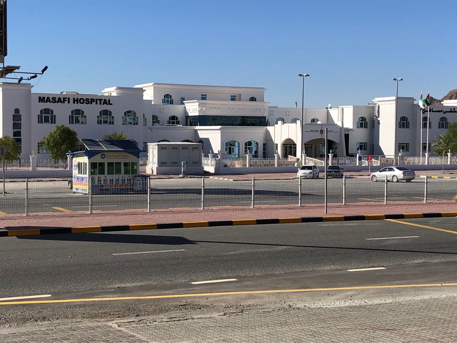
  8. 60 kmMasafi Hospital · hospital · 100 m off route
  9. 65.4 kmADNOC · petrol station · 50 m off route
  10. 75.1 kmENOC · petrol station · 70 m off route
  11. 79.4 kmMedical Center · clinic · 150 m off route
  12. 96.7 kmRAK COOPERATIVES SOCIETY · supermarket · 40 m off route
  13. 96.7 kmصيدلية · pharmacy · 50 m off route
  14. 103 kmADNOC Oasis · supermarket · 60 m off route
  15. 103 kmADNOC · petrol station · on the route

Worth a stop

  • 14.5 kmSite 8 - 2 beehive tombs (archaeological site)
  • 42.6 kmWadi Al Abadilah hiking trails (attraction)
  • 60.5 kmMasafi Fort (castle)

At the start and finish

  • ADNOC Oasis · supermarket · 220 m
  • Al Shuara Restaurant · restaurant · 110 m

Practical information

Surface
Paved
Route shape
Loop
Riding time
3½–5 hours riding
Season
May, September and October with temperatures between 27 and 32 °C.

Know before you go

  • 32.4 km longest stretch without café, shop or water from km 4.1 to 36.5
  • 97.5 km on main roads without cycle lane
  • 92.3 km on roads with speed limits of 80 km/h or more
  • Steepest 500 m section at 14.1% gradient around km 47.3

Routes are for inspiration. Roads, surfaces and conditions change — check locally and ride within your limits.

1 photograph from the road

More rides from Adh Dhayd