
 AI image
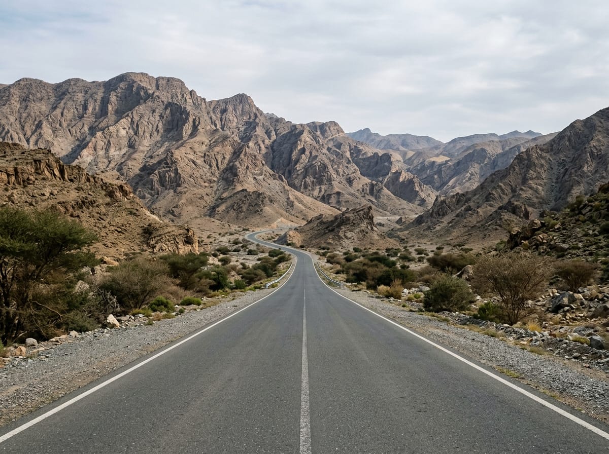
Road · United Arab Emirates
Suitable for riders looking for a moderate distance with gentle elevation gain.
88 km loop in the Hajar Mountains from Adh Dhayd with 144 m elevation gain.
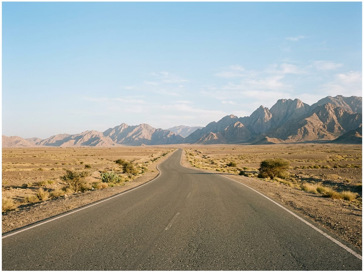
Starting at Adh Dhayd, the route heads northwest through Al Dafain at 22.5 km and then reaches Al Khawālid at 31.6 km. It passes Sha'biyyat Bahayis at 38.1 km, then continues to Al Fayah at 55.6 km where the longest stretch without shops or cafés begins. The ride proceeds past Mahafiz at 68.8 km and Nazwa at 86.5 km before returning to Adh Dhayd. The ride gains 144 m in elevation, with the highest point at 185 m at 26.9 km and the lowest at 129 m at 69.2 km. The profile is mostly flat with 95% flat terrain and only 3% climbing. The road surface is 99% paved with 1% gravel or unpaved sections. Most of the route is on main roads (79%) and major roads (17%), including 84.3 km on main roads without cycle lanes and 34.2 km on roads with speeds over 80 km/h. Facilities along the route include shops at 22 km and 87 km, cafés and restaurants near 12 km and 56 km, and petrol stations around 48 km. After Al Fayah at 55.6 km there is a 31.6 km stretch without cafés, shops, or water. The route passes below the 200 m peak of Qarn Nazwa near 87 km.
Longest stretch without a café, shop or water: 32 km, from 56 km to 87 km.
AI imageRoad · United Arab Emirates
 AI image
Road · United Arab Emirates
 AI image
Road · United Arab Emirates
 AI image
Road · United Arab Emirates
 AI image
Road · United Arab Emirates
Road · United Arab Emirates
 AI image
Road · United Arab Emirates
 AI image
Road · United Arab Emirates