Road · United Arab Emirates
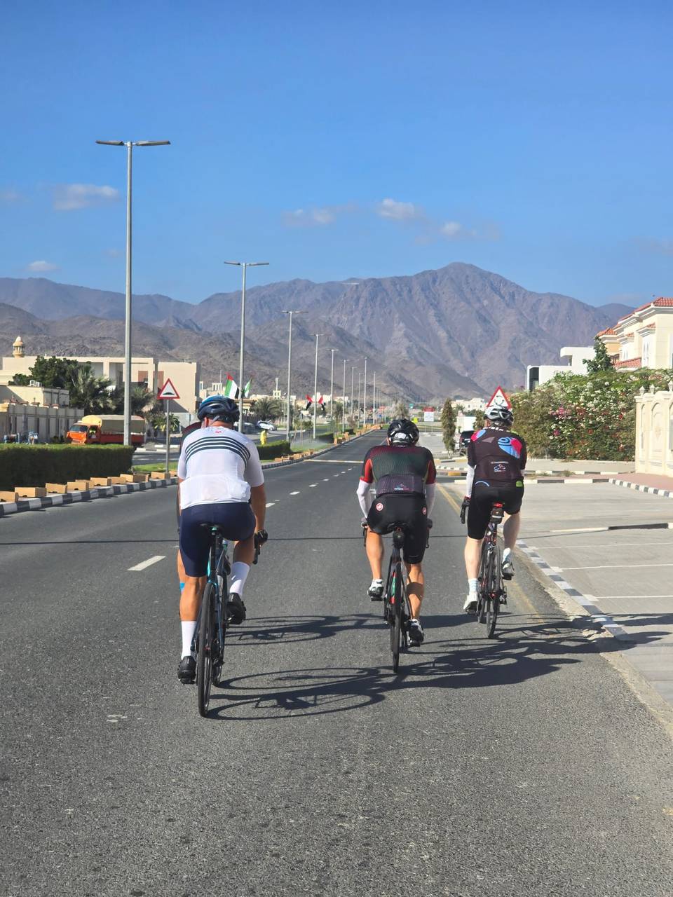
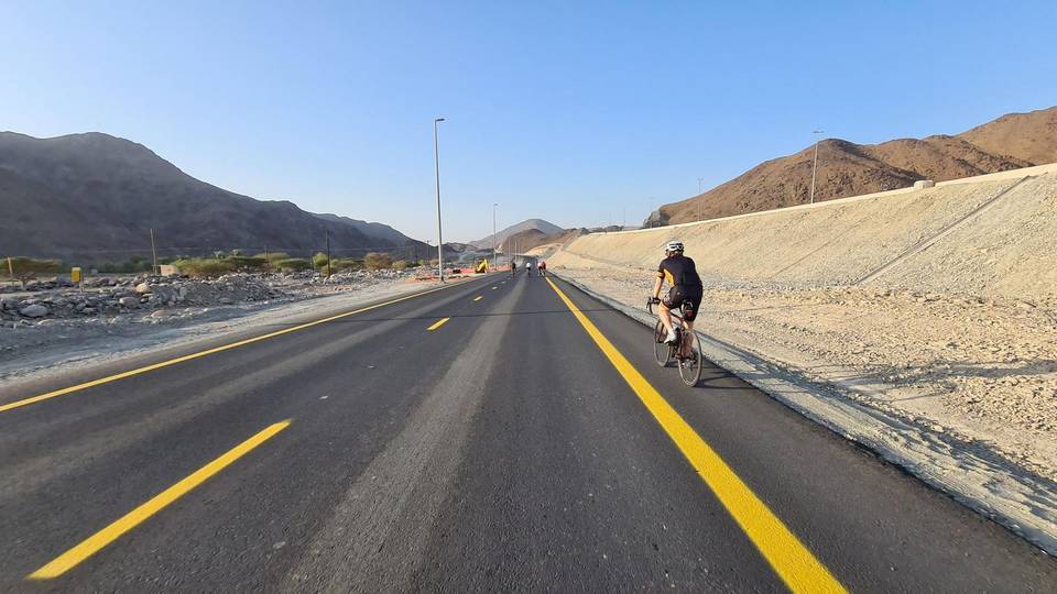
A hilly 69 km road cycling route from Munay, Sharjah to Kalba via Al Uqdah and Al Maqt'a through Fayyad, Al Uqdah and Al Maqt'a, with 966 m of climbing. Most of it (49.6 km) is on main roads without a cycle lane, 24.4 km where the limit is 80 km/h or more. The first 46 km has no café, shop or water.
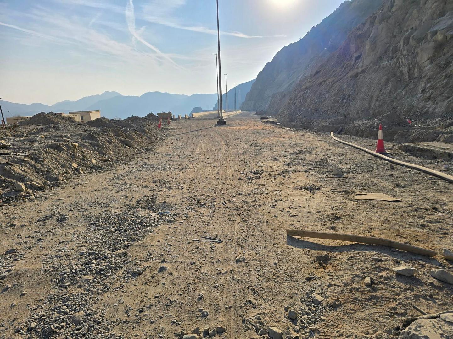
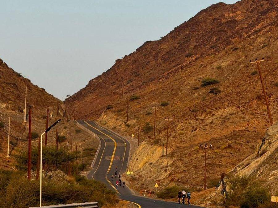
Starting in Kalba, the route passes Munay at 5.3 km then Fayyad at 20.1 km where the first climb begins. It features several climbs including a steep 2.8 km section averaging 7.3% with a maximum gradient of 34.6%, reaching the highest point at 534 m near 25 km. The route continues through Harrah, Shia, Al Uqdah, and Al Ghail before descending to a low point at 3 m around 47.1 km.
The route surface is mostly paved (79%) with 4% gravel or unpaved and 17% unmapped. Road types include 27.1 km on motorway and 18.3 km on main roads, with 49.6 km of main roads lacking cycle lanes. The longest named road is Sharjah - Kalba Road (27.1 km).
There are no cafés or water available for the first 46.3 km. Facilities then appear between 47 and 54 km including a petrol station, toilets, a café (Starbucks), a restaurant (Habib Beirut), and an attraction (Hanging Garden Kalba) slightly off route. This is the first chance to refuel or stop on the ride.
| Climb | Starts at | On this ride | Top on this ride |
|---|---|---|---|
| Unnamed climb | 20.1 km | 1.5 km · 40 m · 2.6 % · max 5.4 % | 323 m |
| Unnamed climb | 22.2 km | 2.8 km · 207 m · 7.3 % · steepest 500 m 8.6 % | 534 m |
| Unnamed climb | 31.3 km | 1.8 km · 56 m · 3.1 % · max 6.4 % | 238 m |
| Unnamed climb | 50.3 km | 3.6 km · 253 m · 7 % | 276 m |
| Unnamed climb | 59.7 km | 1.4 km · 93 m · 6.8 % · max 13.7 % | 268 m |
| Unnamed climb | 62.5 km | 3.7 km · 134 m · 3.7 % · max 8.6 % | 314 m |
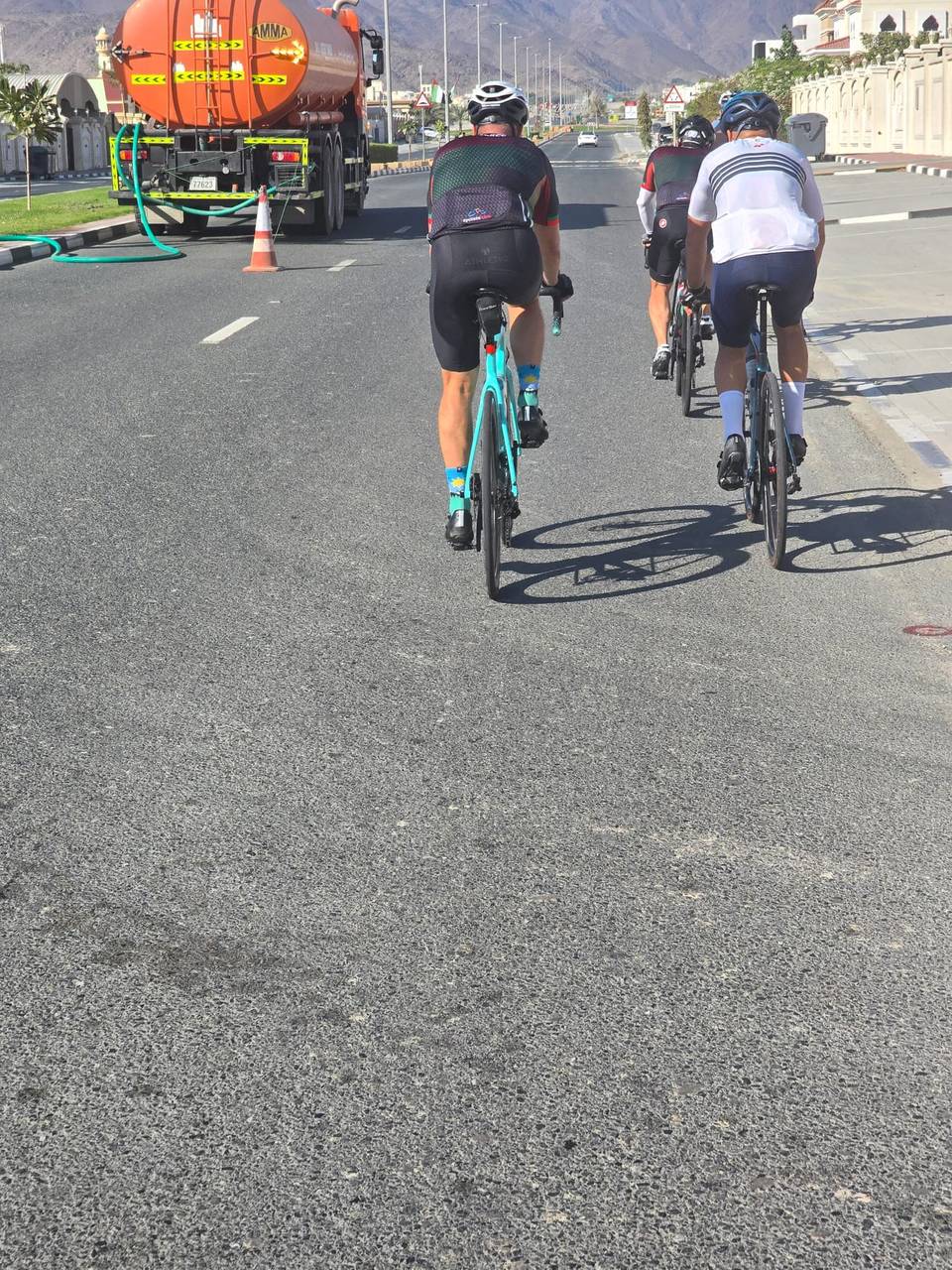
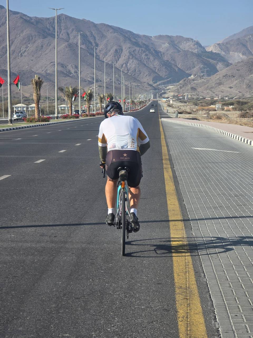
This is not a cycle-track route: 72% is on main roads without a cycle lane, 24.4 km of it where the limit is 80 km/h or more. Riders should be comfortable sharing the road with faster traffic.
The longest stretch without a café, shop or water is 46 km, from the start. Along the route: 7 cafés and restaurants, 1 petrol station and 1 public toilet.