
Road · United Arab Emirates
Kalba – Shinas hills loop 73
- 73 km
- 785 m
- Hard
- Paved
Elevation profile
Route overview
Suits riders comfortable with 73 km and 785 m of climbing spread over three short ascents.
A 72.8 km loop from Kalba into the Hajar Mountains, crossing into Oman and back, with 785 m of climbing.
The loop leaves Kalba and begins climbing almost at once, a gentle 1.8 km rise at 2.6% topping out at 296 m beneath Jabal Al Miqsha. A string of small settlements follows in quick succession: Al Qilē'ī at 7.6 km, Minazif, Fayyad and then Harrah and Shia at around 14 km, where the main climb of the day starts. This one runs 2.6 km at 5.8% with a maximum of 9.4% to reach 466 m, and the route's high point of 471 m arrives at 16.1 km, below unnamed summits of 812 m and 826 m. A long descent takes the road down to the loop's low point of 104 m at 28.2 km, past Wahala and Um al Ghaf, with Jabal Naselah standing to one side. Al Naslah, Rāfāq, Fashrah and Huwaylat come in order along the valley, the road undulating rather than climbing hard, since 47% of the total gain is behind by halfway. After As Simsimānīyah at 49.3 km the third climb begins: 3.3 km at 3.8%, steepening to 9.7%, to 407 m. From there the run home passes Sikhе̄bar, Al Wa'ab and Munay before the return to Kalba.
Highlights
- Main climb: 2.6 km at 5.8% to 466 m above Harrah
- High point of 471 m at km 16.1, beneath 826 m peaks
- Descent to 104 m through Wahala and Um al Ghaf
- Third climb of 3.3 km to 407 m after As Simsimānīyah
Along the route
Places passed· crosses into Oman
Climbs
| Starts at | Length | Gain | Average | Max | Top |
|---|---|---|---|---|---|
| 3.4 km | 1.8 km | 46 m | 2.6 % | 4.3 % | 296 m |
| 13.4 km | 2.6 km | 154 m | 5.8 % | 9.4 % | 466 m |
| 49.8 km | 3.3 km | 123 m | 3.8 % | 9.7 % | 407 m |
Practical information
- Paved
- Loop
- 2½–4 hours riding
- The single September recording showed 27°C; cooler months are likely more comfortable.
Know before you go
- Route crosses from the UAE into Oman and back: carry documents
- No cafés or water points listed on the 72.8 km loop
- Gradients reach 9.7% on the later climb
- 27°C recorded in September
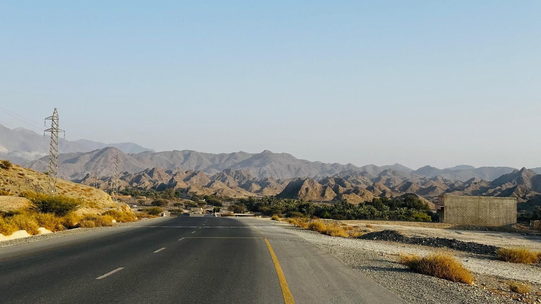
5 photographs from the road
More rides from Kalba
Road · United Arab Emirates
Hatta Dam from Kalba
Road · United Arab Emirates
Kalba – Munay – Generator Hill loop
Road · United Arab Emirates
Kalba – Shinas hills loop 84
Road · United Arab Emirates
Kalba 153 loop
Road · United Arab Emirates
Kalba classics hills loop
Road · United Arab Emirates
Kalba hills 69
Road · United Arab Emirates
Kalba hills adventure 95