Road · United Arab Emirates
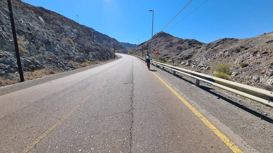
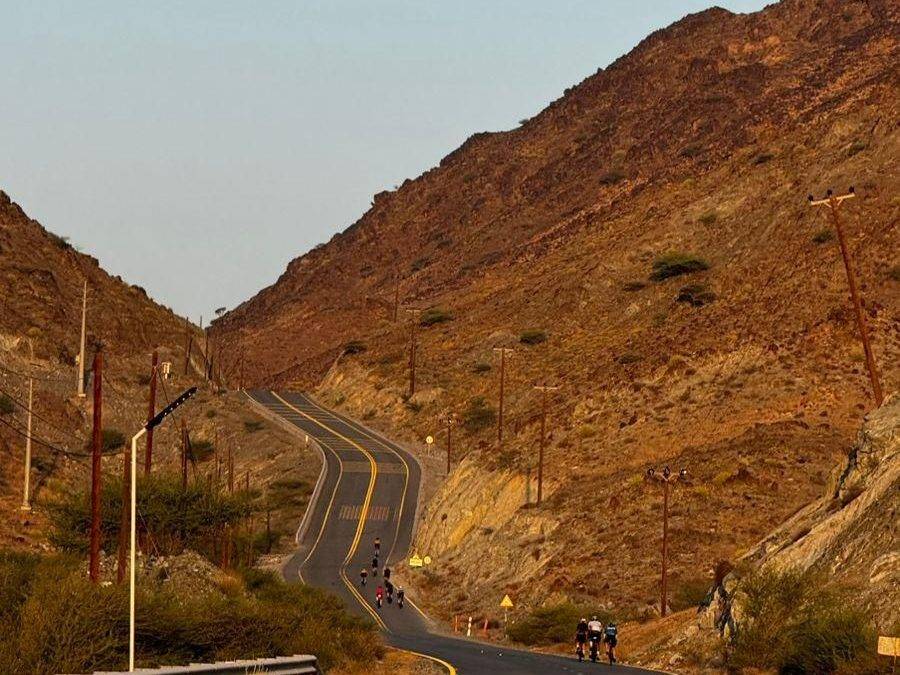
A hilly 94 km road cycling loop from Al Qilē'ī, Sharjah through Wahala, Al Quala'a and Al Aoud, with 1,279 m of climbing over Jabal Al Khasfah and Al Fujayrah climb (265 m). Most of it (76.4 km) is on main roads without a cycle lane, 20.9 km where the limit is 80 km/h or more. The first 31 km has no café, shop or water.
This 94 km loop starts at Kalba, situated at 0 km, and quickly climbs for 1.6 km at 5.1% average gradient reaching 315 m elevation early at 1.9 km. The route crosses several places including Wahala at 19 km, Al Ghail around 34 km, and Kalba Beach Road near 40 km. Initial climbing is mainly in the first third of the ride, with a mix of steep sections up to 13.8% and overall climbing of 908 m across the route.
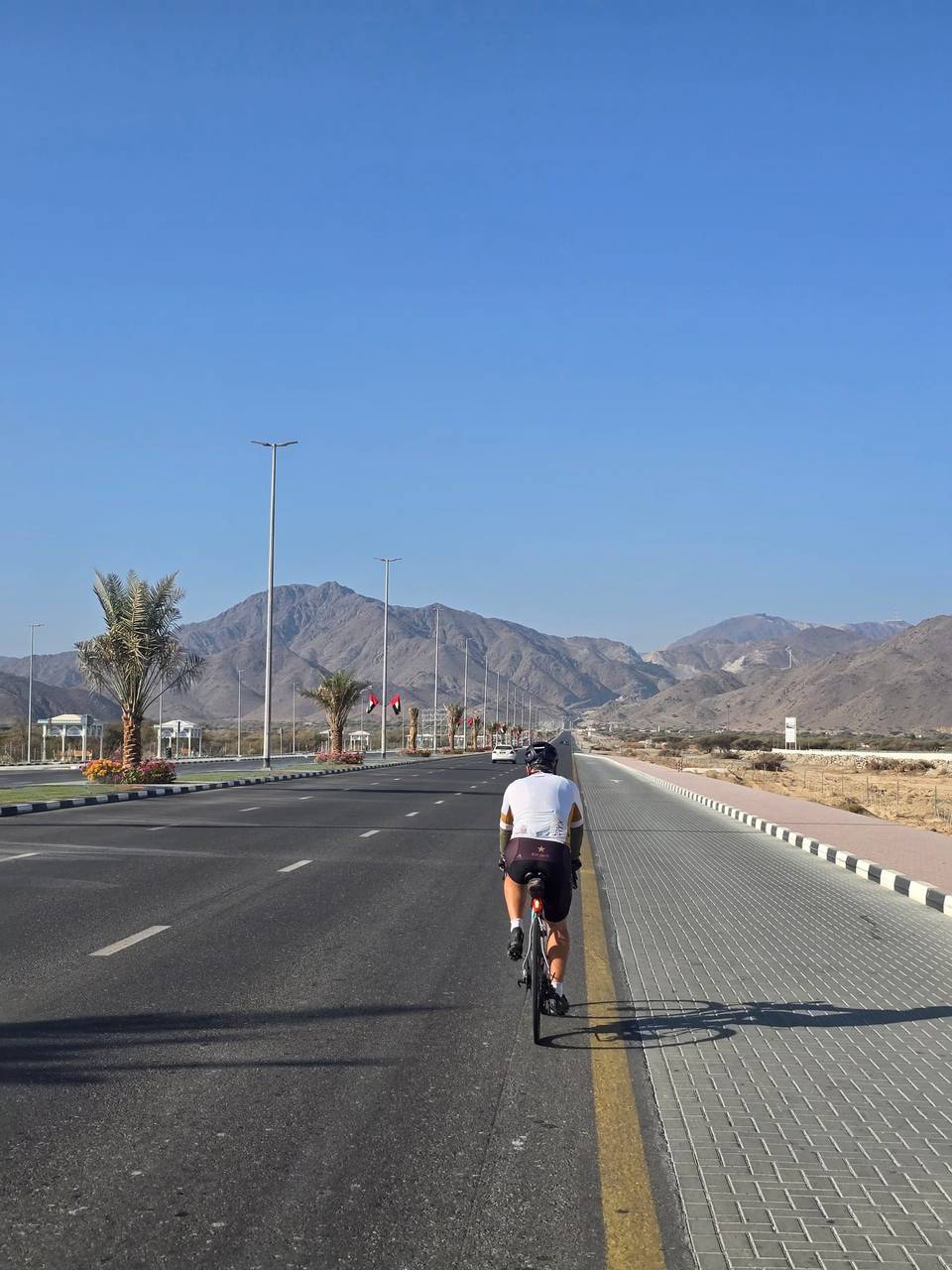
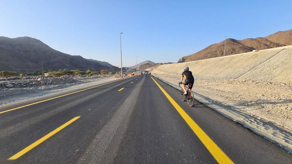
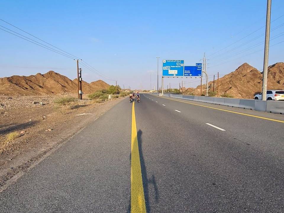
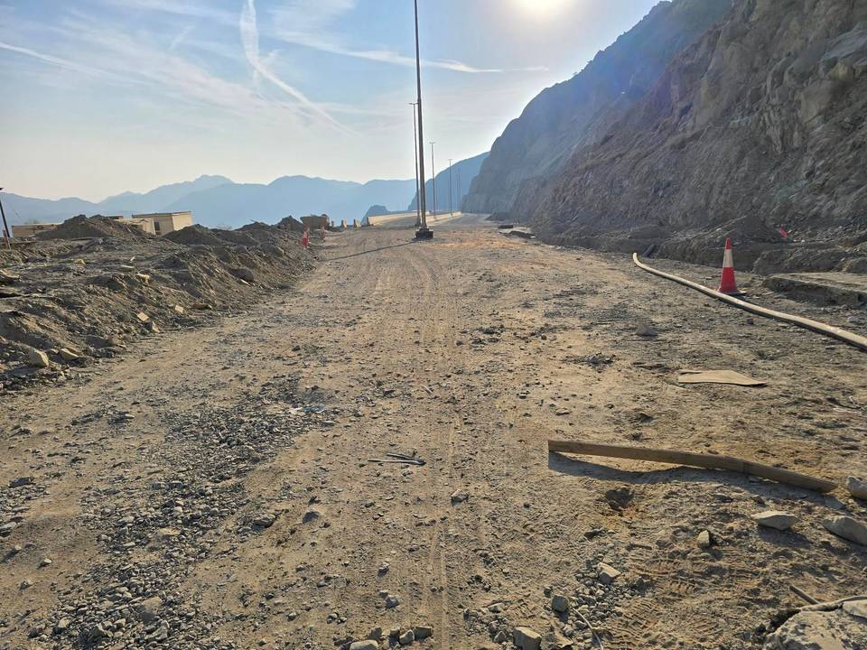
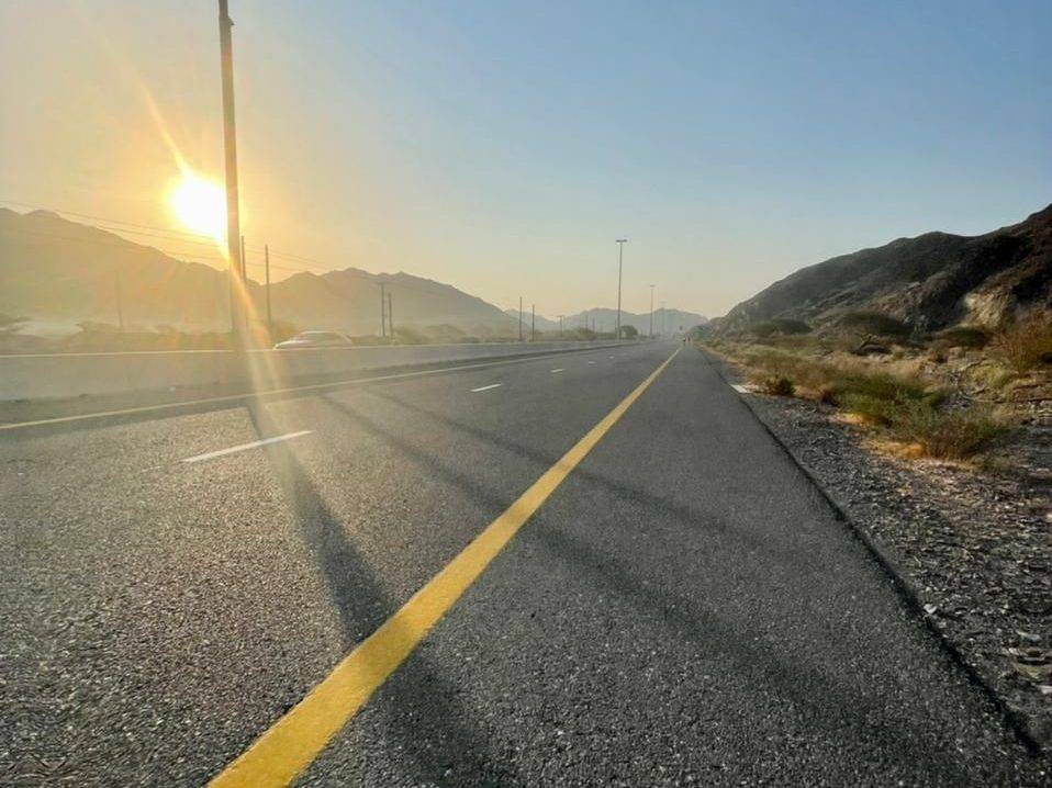
Road surfaces are 98% paved with no gravel sections and 44% of the route on main roads, including 30% on motorway and 8% on major roads. There are 20.9 km on fast roads with posted speeds over 80 km/h and 76.4 km on main roads lacking cycle lanes. Facilities such as cafés, restaurants, and shops are predominantly found around 30 to 45 km with a Starbucks café close to 32.9 km and nearby toilets, plus several restaurants by 70-78 km, but there is a 31 km stretch without café, shop or water from the start.
Later climbs include a 7.5% average gradient over 2.6 km at 75.7 km with a max of 16.8%, and smaller climbs towards the end. The highest peak near the road is Jabal Al Khasfah at 464 m near 71 km. The ride has a long descent of 4.9 km starting around 12.3 km, dropping 84 m. This route is best done in February with temperatures around 28 °C.
| Climb | Starts at | On this ride | Full ascent | Top on this ride |
|---|---|---|---|---|
| Unnamed climb | 0.3 km | 1.6 km · 81 m · 5.1 % · max 13.8 % | — | 315 m |
| Unnamed climb | 5.2 km | 1.7 km · 89 m · 5.4 % · max 12.1 % | — | 263 m |
| Unnamed climb | 26.3 km | 1.4 km · 44 m · 3.1 % · max 6.7 % | — | 94 m |
| Unnamed climb | 56.9 km | 5.1 km · 112 m · 2.2 % · max 3.1 % | — | 170 m |
| Unnamed climb | 62.3 km | 2.3 km · 97 m · 4.2 % · max 8.3 % | — | 269 m |
| Unnamed climb | 67.9 km | 2.7 km · 84 m · 3.1 % · max 6 % | — | 284 m |
| Al Fujayrah climb (265 m) | 75.7 km | 2.6 km · 196 m · 7.5 % · max 16.8 % | 2.6 km · 195 m · 7.5 % | 281 m |
| Jabal Al Khasfah | 75.7 km | — | 4.2 km · 273 m · 6.4 % | 289 m |
| Unnamed climb | 83.4 km | 1.5 km · 82 m · 5.7 % · max 13.7 % | — | 267 m |
| Unnamed climb | 86.1 km | 1.9 km · 71 m · 3.8 % · max 6.8 % | — | 233 m |
| Unnamed climb | 88.2 km | 1.8 km · 82 m · 4.7 % · max 10.7 % | — | 306 m |
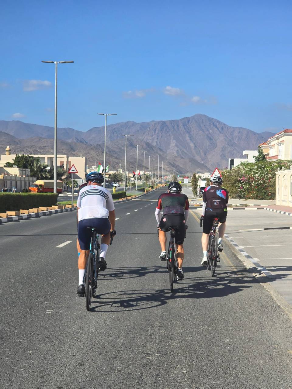
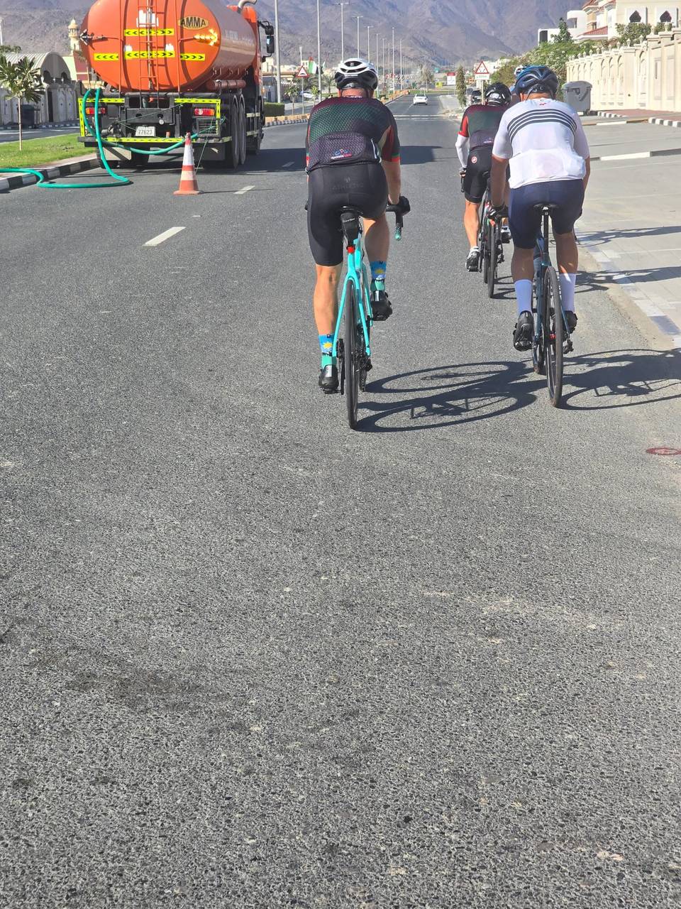
This is not a cycle-track route: 81% is on main roads without a cycle lane, 20.9 km of it where the limit is 80 km/h or more. Riders should be comfortable sharing the road with faster traffic.
The longest stretch without a café, shop or water is 31 km, from the start. Along the route: 12 cafés and restaurants, 2 shops, 1 petrol station and 2 public toilets.