Road · United Arab Emirates
A hilly 155 km road cycling loop from Kalba, Sharjah through Esfini, Al Uqdah and Al Bateen, with 1,711 m of climbing over Ishwais climb (243 m) and the Far`ah climb. Most of it (125.2 km) is on main roads without a cycle lane, 58.3 km where the limit is 80 km/h or more. There is a 55 km stretch without a café, shop or water (km 34–89).
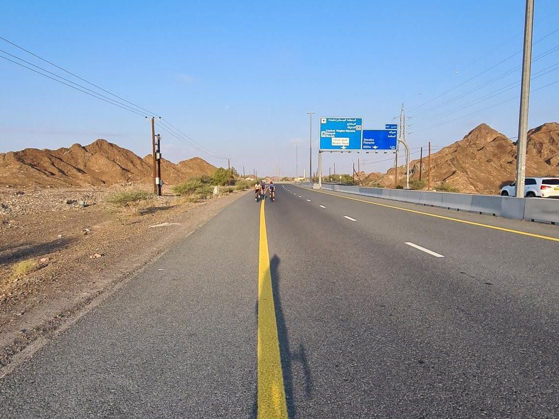
This 154.9 km loop starts and finishes in Kalba, passing through places such as Esfini, Kadrah, Shawka, Munay, and Fayyad before returning to Kalba and continuing through several other settlements including Sour Kalba and Al Sharia. The route features mainly paved surfaces (95%), with 2% gravel or unpaved and 4% unmapped. Roads vary from main roads (38%) and motorways (26%) to minor roads, quiet streets, tracks, and paths. The longest main roads without cycle lanes cover 125.2 km, with 58.3 km on roads with speed limits of 80 km/h or more.
| Climb | Starts at | On this ride | Full ascent | Top on this ride |
|---|---|---|---|---|
| Unnamed climb | 34.6 km | 2.9 km · 89 m · 3.1 % · max 5.1 % | — | 371 m |
| Unnamed climb | 39.6 km | 3.5 km · 103 m · 2.9 % · max 5.9 % | — | 482 m |
| Fayyad climb | 64.1 km | 4.9 km · 157 m · 3.2 % · max 9.5 % | 5.3 km · 180 m · 3.4 % | 424 m |
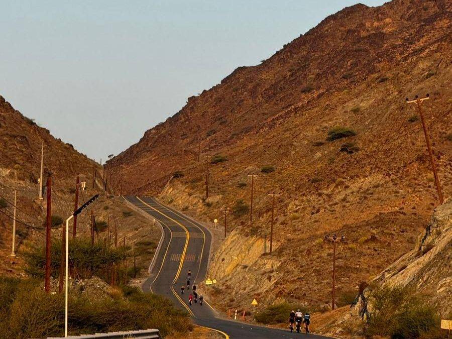
| Ishwais climb (243 m) | 114 km | 4.6 km · 241 m · 5.2 % · max 12.2 % | 4.5 km · 240 m · 5.3 % | 247 m |
| Far`ah climb | 128.3 km | 8.1 km · 337 m · 4.2 % · max 7.4 % | 7.3 km · 296 m · 4.1 % | 475 m |
| Unnamed climb | 146.3 km | 5.2 km · 120 m · 2.3 % · max 5.2 % | — | 484 m |
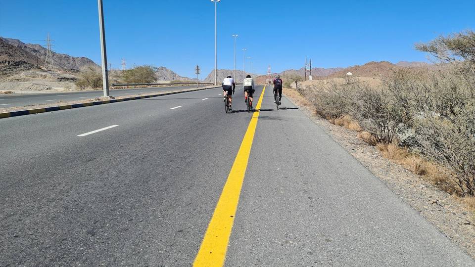
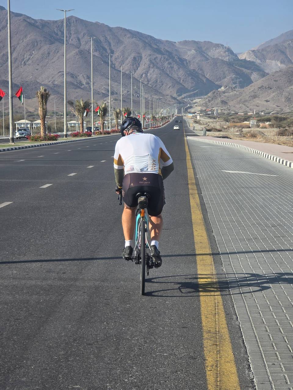
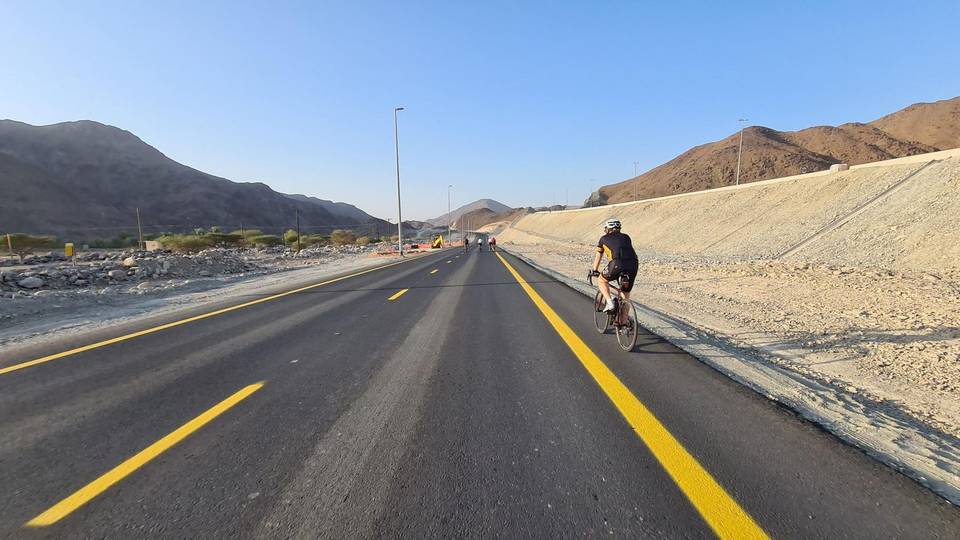
This is not a cycle-track route: 81% is on main roads without a cycle lane, 58.3 km of it where the limit is 80 km/h or more. Riders should be comfortable sharing the road with faster traffic.
The longest stretch without a café, shop or water is 55 km, from km 34 to 89. Along the route: 59 cafés and restaurants, 15 shops, 2 water points, 9 petrol stations, 4 public toilets and 2 bike shops.