Road · United Arab Emirates
Showka Loop via Esfai and Kadrah
A rolling 79 km road cycling loop from Showka, Ras Al Khaimah through Shawka, Esfai and Kadrah, with 461 m of climbing. Most of it (66.3 km) is on main roads without a cycle lane, 27.1 km where the limit is 80 km/h or more. There is a 50 km stretch without a café, shop or water (km 25–75).
At a glance
- Best for
- Rolling day rides for confident riders at ease in traffic
- Distance
- 78.5 km
- Elevation gain
- 461 m
- Riding time
- 2½–3½ hours
- Difficulty
- Moderate
- Bike
- Road bike
- Surface
- Paved
- Traffic
- Mostly main roads
- Food & water
- Longest gap 50 km
- Best months
- Dec to Feb
- Navigation
- GPX download
- Start and finish
- Showka
Map and elevation profile
Elevation profile
- 461 m
- 79 km
Route description
- Showka
- Shawka
- Shariyah
- Rima
- Mamduh
- Esfai
- Esfini
- Kadrah
- Showka
Starting from Showka, the route passes through Shawka at 1.8 km and Shariyah at 2.4 km before descending to its lowest point of 196 m at 13.3 km. It continues on mostly main roads without cycle lanes for 66.3 km, including 27.1 km on roads with posted speed limits of 80 km/h or more. At 39 km begins a 2.9 km climb with 72 m gain averaging 2.5% gradient, reaching a high point of 483 m at 41.9 km near Jabal Gharib (578 m).
Why ride this route?
- Tops out at 483 m, 41.9 km in.
Highlights
- Climb starting at 39 km with 2.5% average gradient
- Highest point at 483 m near Jabal Gharib
- Longest descent of 3.8 km starting at 44.6 km
- Passes through seven named places including Shawka and Kadrah
Along the route
Places passed
Climbs
| Climb | Starts at | On this ride | Top on this ride |
|---|---|---|---|
| Unnamed climb | 39 km | 2.9 km · 72 m · 2.5 % · max 5.1 % | 483 m |
Traffic, surface and gradient
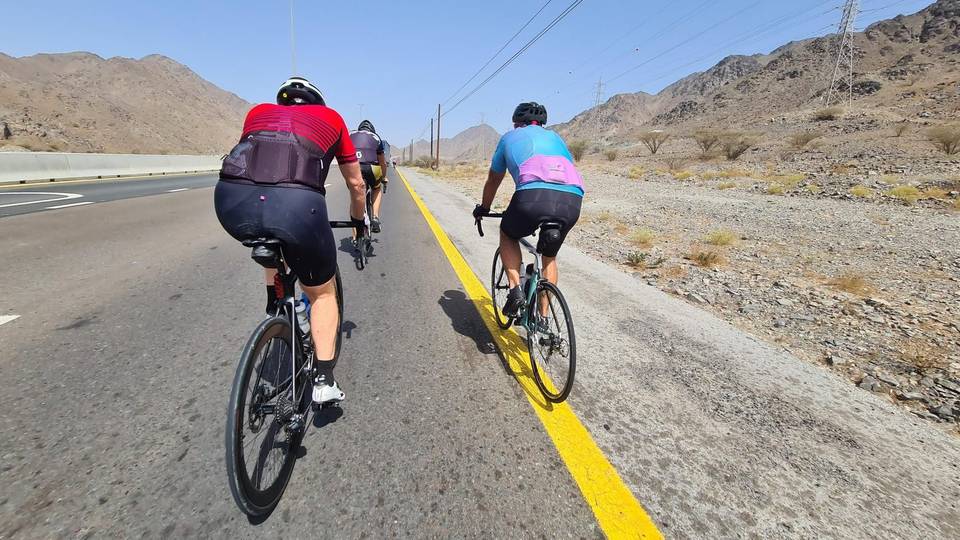
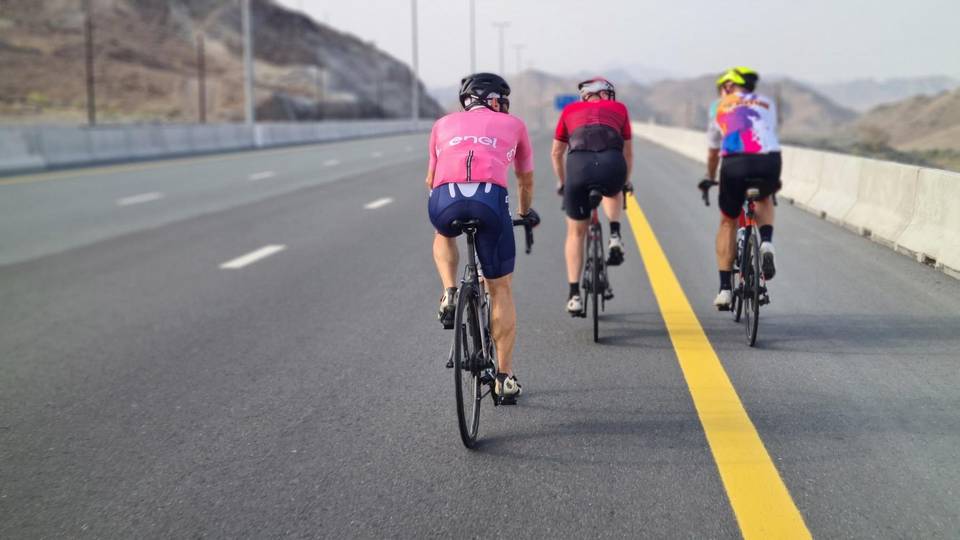
This is not a cycle-track route: 84% is on main roads without a cycle lane, 27.1 km of it where the limit is 80 km/h or more. Riders should be comfortable sharing the road with faster traffic.
- Roads
- 81% main road · 7% minor road · 5% motorway · 4% quiet street · 3% other roads and tracks
- Main roads
- 66.3 km on main roads without a cycle lane — likely busier
- Fast roads
- 27.1 km on roads with a limit of 80 km/h or more
- Surface
- Paved: 97% of the route is mapped as paved, 3% as unpaved.
- Gradient
- 17% climbing · 16% descending · 67% flat
- Longest descent
- 3.8 km from 44.6 km, dropping 74 m
Food, water and services
The longest stretch without a café, shop or water is 50 km, from km 25 to 75. Along the route: 2 cafés and restaurants, 4 shops, 1 water point and 1 bike shop.
Food, water and shops in ride order
- 1.9 kmDrinking water · 50 m off route
- 12.5 kmKadrah Health Center · clinic · 60 m off route
- 24.4 kmHospital · 140 m off route
- 25.2 kmConvenience store · 40 m off route
- 75.3 kmWadi al meqaitei · convenience store · 40 m off route
- 75.6 kmRestaurant · 40 m off route
- 77 kmShowka Bicycles · bike shop · 440 m off route
Start and access
At the start and finish
- Bikes and repair
- Showka Bicycles (600 m)
Know before you go
- Longest stretch without café, shop, or water is 49.9 km from 25.4 to 75.3 km
- 66.3 km on main roads without a cycle lane
- 27.1 km on roads with speed limits 80 km/h or more
- Approximately 3% gravel or unpaved surface