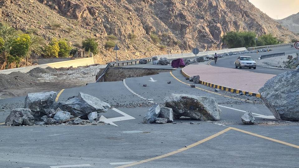
Road · United Arab Emirates
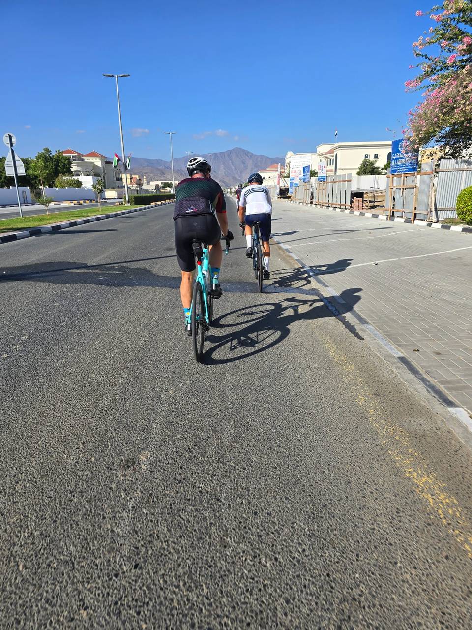
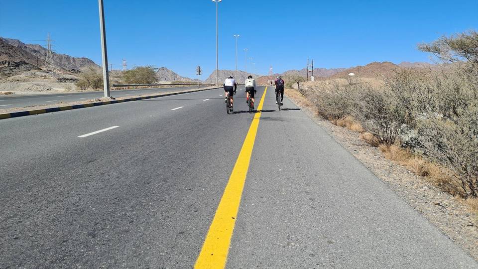
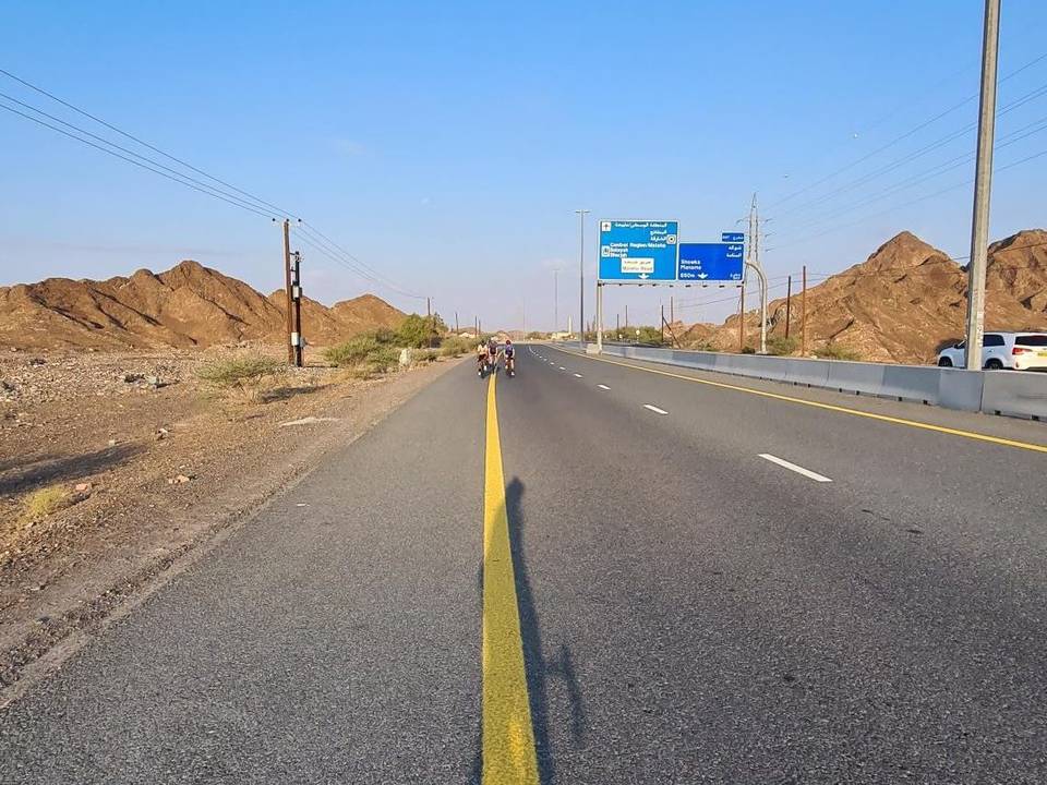
A hilly 95 km road cycling loop from Kalba, Sharjah through Madouk, Al Quala'a and Sakamkam, with 873 m of climbing over Ishwais climb (243 m). Most of it (55.4 km) is on main roads without a cycle lane, 17.2 km where the limit is 80 km/h or more. There is a 27 km stretch without a café, shop or water (km 66–93).
This 95 km loop starts and finishes in Kalba, passing through places including Madouk at 6.2 km, Ihfarah at 22.9 km, and Al Ghail at 46.2 km. The route climbs away from Kalba between 25 and 32 km with three climbs totalling nearly 275 m gain, the steepest with a max gradient of 8.1%. It passes at low altitude near 50 km before heading north.
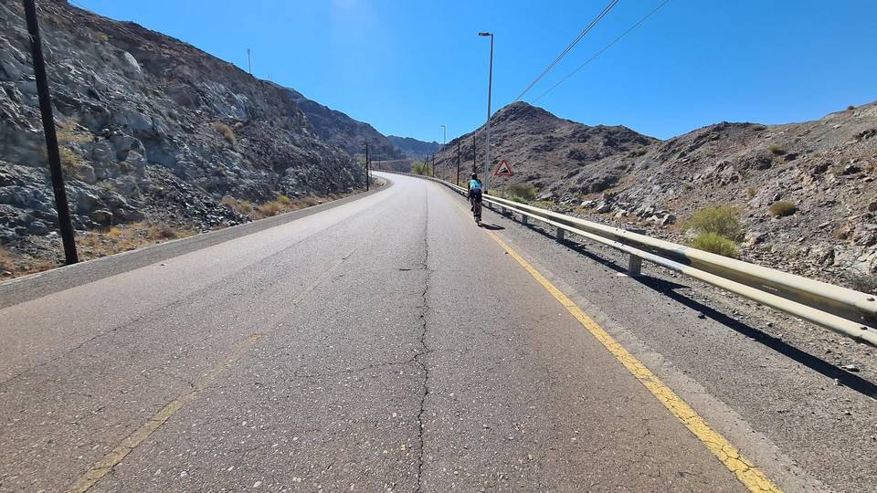
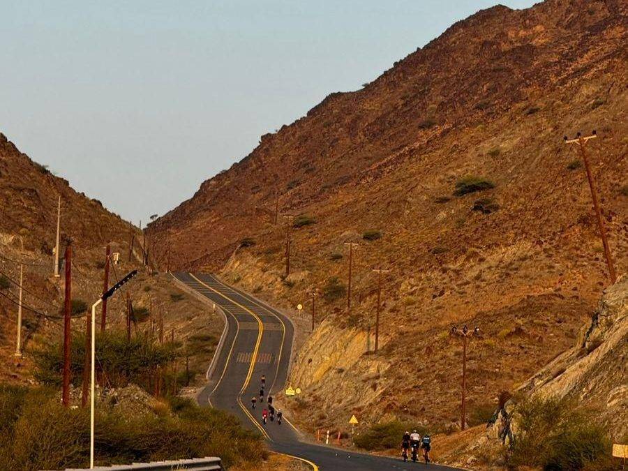
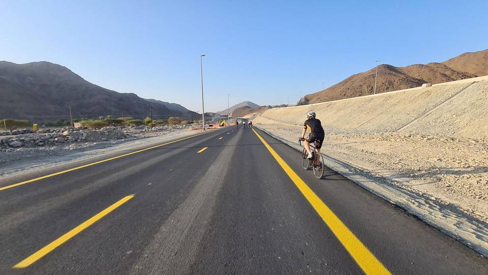
The ride continues through towns like Al Quala'a and Al Sidrah after 50 km, and through areas such as Yabsa Bypass Road near 75 km. The largest climb starts at 68.8 km, rising 235 m over 4.3 km with gradients reaching 13%, followed later by a longer climb of 7.8 km starting near 83 km gaining 209 m with a max gradient of 5.9%. Road surfaces are 97% paved, largely on minor, main, major roads and some motorway totaling about 55 km on main roads without cycle lanes. Cafés, shops and petrol stations are available early on, but there is no café, shop or water for 26.7 km between 65.8 and 92.5 km.
| Climb | Starts at | On this ride | Full ascent | Top on this ride |
|---|---|---|---|---|
| Unnamed climb | 25.2 km | 5.1 km · 112 m · 2.2 % · max 3.2 % | — | 169 m |
| Unnamed climb | 30.7 km | 2.5 km · 99 m · 3.9 % · max 8.1 % | — | 270 m |
| Unnamed climb | 36.3 km | 2.3 km · 63 m · 2.8 % · max 3.6 % | — | 265 m |
| Ishwais climb (243 m) | 68.8 km | 4.3 km · 235 m · 5.5 % · max 13 % | 4.5 km · 240 m · 5.3 % | 247 m |
| Unnamed climb | 82.9 km | 7.8 km · 209 m · 2.7 % · max 5.9 % | — | 346 m |
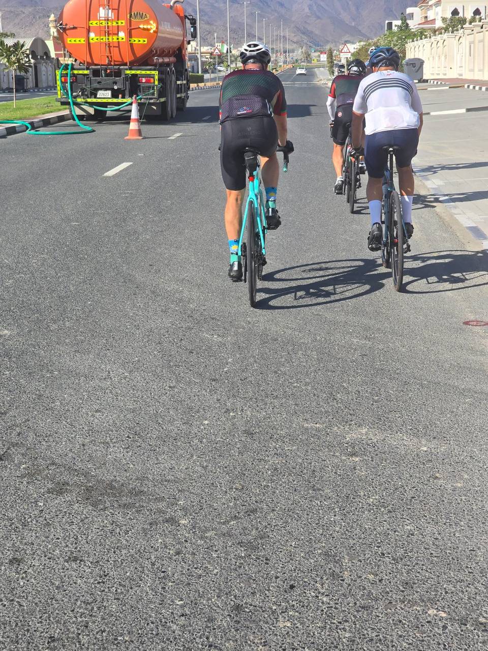
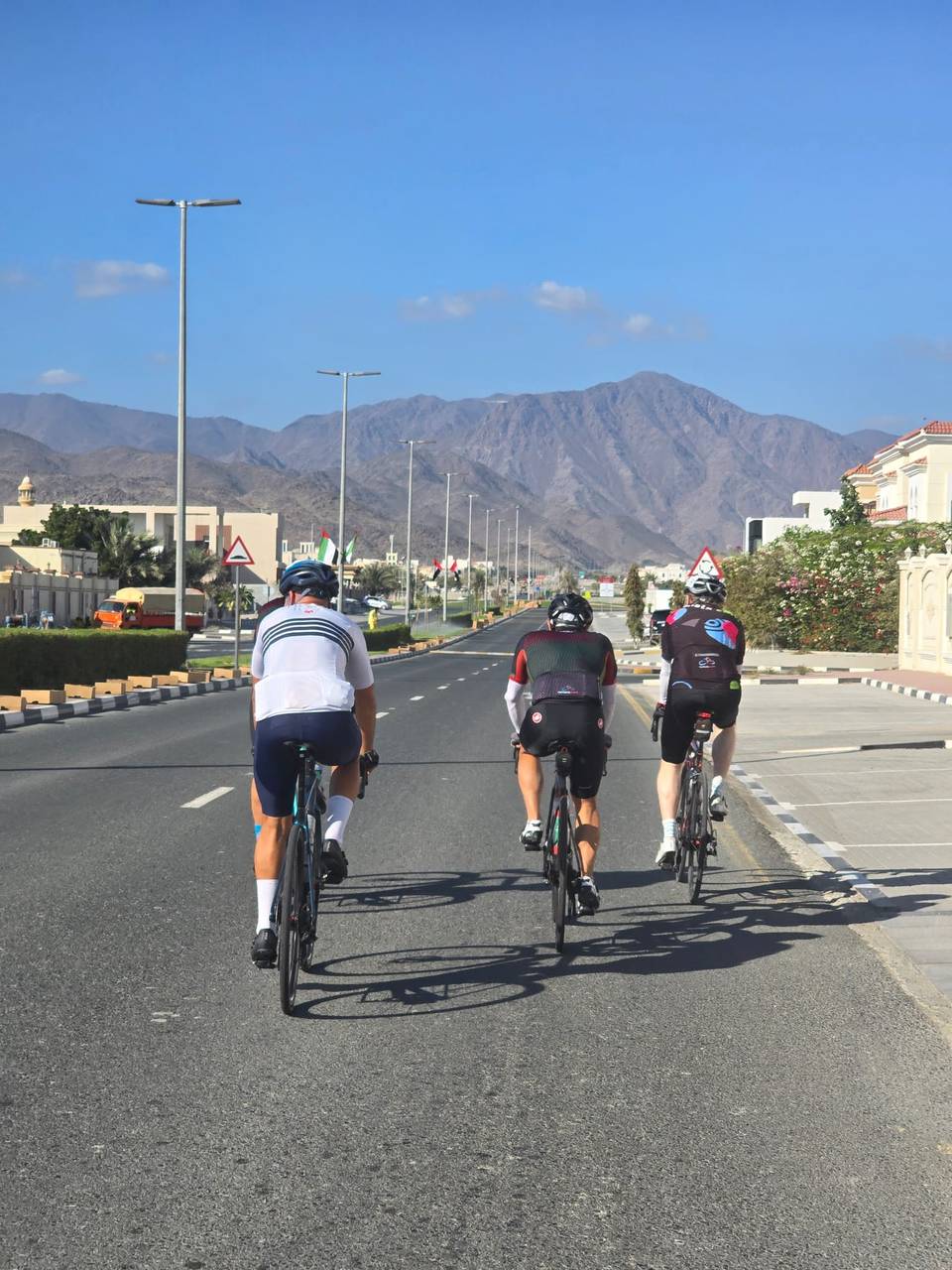
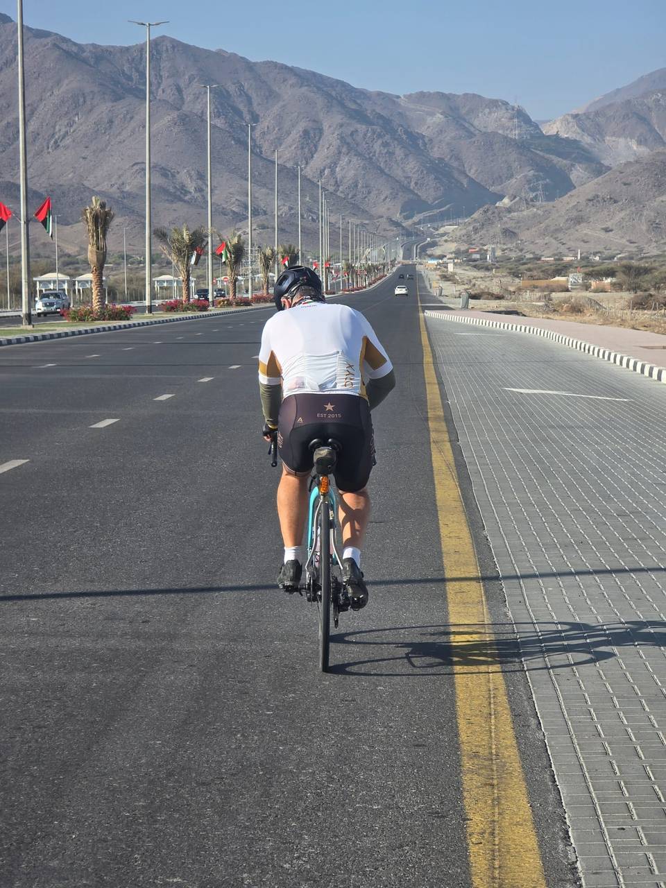
This is not a cycle-track route: 58% is on main roads without a cycle lane, 17.2 km of it where the limit is 80 km/h or more. Riders should be comfortable sharing the road with faster traffic.
The longest stretch without a café, shop or water is 27 km, from km 66 to 93. Along the route: 71 cafés and restaurants, 14 shops, 11 petrol stations, 2 public toilets and 1 bike shop.