Cyclists.com

Around Fujairah

Fujairah, Fujairah, United Arab EmiratesRoad

155 km
Distance
1,680 m
Elevation gain
Hard
Difficulty
Paved
Surface
Download GPXMap
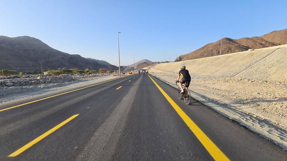
On the road: Around Fujairah

Elevation profile

Total ascent
1,680 m
Distance
155 km
0200400600m0 km50100155 km509 m · highest, at 72.0 kmStartFinish · back at the start

Route overview

Suitable for experienced cyclists able to manage 154.7 km and 1680 m climbing.

154.7 km loop ride in the Hajar Mountains, UAE, starting and finishing in Al Fujayrah with 1680 m of climbing.

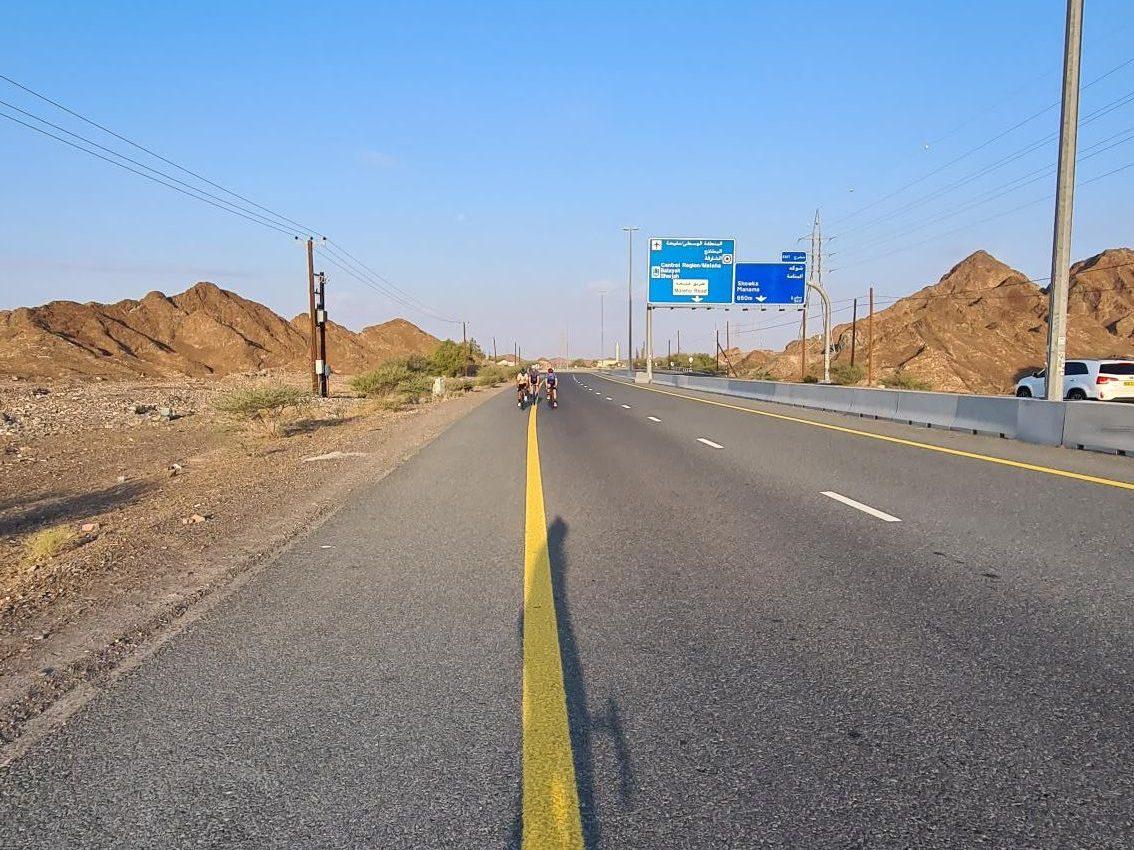
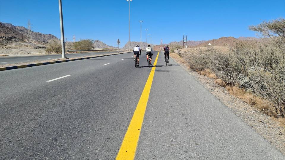
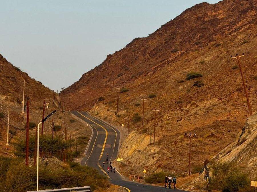
Starting in Al Fujayrah beneath Jabal Gharib (578 m), the route heads to Esfini (10 km) and Kadrah (22.1 km), then climbs 3.1 km at 3.2% average to 374 m and 3.5 km at 3% average to 483 m around km 34-43. The climb at 63.8 km gains 180 m at 3.4% average over 5.3 km to 448 m. The highest point of the whole ride is 641 m found at 70.6 km. The route includes 94% paved surfaces and a mix of road classes with 57.7 km on main roads and 40 km on motorway, including the Sharjah - Kalba Road for 25.5 km and H.H. Sheikh Khalifa Bin Zayed Freeway for 12.2 km. After Kalba at 96.1 km, the route descends to sea level at Al Quala'a (94.1 km).

Highlights

  • Climb to 641 m at 70.6 km
  • Longest descent 10.3 km from 77.5 km
  • Sharjah - Kalba Road for 25.5 km
  • Visit Center of Khor Kalba Mangrove Reserve at 91.8 km

Along the route

Measured from the recorded track and OpenStreetMap.

Places passed

  1. Esfini 10 km
  2. Kadrah 22.1 km
  3. Shawka 32.9 km
  4. Munay 54.5 km
  5. Al Qilē'ī 60.9 km
  6. Fayyad 63.5 km
  7. Al Uqdah 79.5 km
  8. Al Saaf 86 km
  9. Al Ghail 86 km
  10. Al Maqt'a 91.2 km
  11. Al Quala'a 94.1 km
  12. Khawr Kalba 94.5 km
  13. Al Mafraq 94.8 km
  14. Al Nighala 95.1 km
  15. Al Bardi 95.8 km
  16. Al Aoud 95.8 km
  17. Kalba 96.1 km
  18. Al Sidrah 96.5 km
  19. Al Bateen 96.5 km
  20. Al Qadesia 96.5 km
  21. Hitteen 97.2 km
  22. Al Musalla 97.2 km
  23. Al Khuwair 97.2 km
  24. Al Mughaider 98.1 km
  25. A'quola 98.4 km
  26. Al Mahatta 98.4 km
  27. Al Bhaies 98.7 km
  28. Darweshia 99.1 km
  29. Al Husen 99.3 km
  30. Suhaila 99.6 km
  31. Sour Kalba 100.5 km
  32. Rughaylat 102.1 km
  33. Al Gurfaa 103.1 km
  34. Fujairah 104.2 km
  35. Ghalala 104.2 km
  36. Owaid 105.5 km
  37. Al Faseel 106.2 km
  38. Al Sharia 107.8 km
  39. Al Sharia 1 108.2 km
  40. Al Hilal 108.4 km
  41. Ishwais 113.3 km
  42. Sakamkam 114.5 km
  43. Yabsa 120.7 km
  44. Al Farfar 122.8 km
  45. Al Ghizaimri 127.4 km
  46. Far`ah 128.5 km
  47. Madouk 130.6 km
  48. Mamduh 140 km
  49. Esfai 150.9 km

Climbs

ClimbStarts atLengthGainAverageMaxTop
34.1 km3.1 km96 m3.2 %5 %374 m
39.3 km3.5 km104 m3 %5.8 %483 m
Fayyad climb63.8 km5.3 km180 m3.4 %8.7 %448 m
Ishwais climb114 km4.5 km240 m5.3 %12.1 %246 m
Far`ah climb128.5 km7.5 km336 m4.5 %7.9 %476 m
148 km3.4 km83 m2.4 %5.1 %486 m

High point 641 m at 70.6 km; low point 1 m. Passes beneath Jabal Gharib, Jabal Ash Shibkah, Jabal Al Hinnah.

Fayyad climb · starts at 63.7 km

5.3 km at 3.4% · 180 m
300350400450500550m1.6%5.4%8.2%8.3%8.3%0 km123456.3 km641 msteepest 8.3%
< 4%4 – 7%7 – 10%> 10%

Ishwais climb · starts at 113.9 km

4.5 km at 5.3% · 240 m
50100150200m3.6%5.7%11%0 km12344.6 km243 msteepest 10.5%

Far`ah climb · starts at 128.4 km

7.4 km at 4.5% · 336 m
250300350400450m5.5%4.0%4.5%4.7%0 km123456.2 km476 msteepest 5.5%

What this ride is like

Measured from OpenStreetMap along the track and the elevation profile.

Roads
38% main road · 26% motorway · 17% major road · 7% minor road
Main roads
123.8 km on main roads without a cycle lane — likely busier
Fast roads
57.5 km on roads with a limit of 80 km/h or more
Main roads used
Sharjah - Kalba Road (26 km), H.H. Sheikh Khalifa Bin Zayed Freeway (12 km), Yabsa Bypass Road (10 km), Kalba Beach Road (5 km)
Surface
Paved throughout
Gradient
23% climbing · 25% descending · 52% flat
Steep sections
7.3 km over 5% · 1.2 km over 8% · 0.6 km over 10%
Longest descent
10.3 km from 77.5 km, dropping 248 m

Along the way

Within a few hundred metres of the track, from OpenStreetMap. Opening hours change — treat this as where to look, not a promise.

Longest stretch without a café, shop or water: 55 km, from 33 km to 89 km.

Food, water and shops

  1. 9.7 kmConvenience store · 250 m off route
  2. 10.3 kmHospital · 200 m off route
  3. 22.1 kmKadrah Health Center · clinic · 160 m off route
  4. 33.2 kmRestaurant · 80 m off route
  5. 33.2 kmSupermarket · 90 m off route
  6. 34.4 kmShowka Bicycles · bike shop · 450 m off route
  7. 47.7 kmToilets · 50 m off route
  8. 85.5 kmKalba Health Center · clinic · 110 m off route
  9. 88.5 kmWALFA CAFE · café · 80 m off route
  10. 89.1 kmToilets · 130 m off route
  11. 91.5 kmSharjah Coop · supermarket · 220 m off route
  12. 99.6 kmTamm Cafe · café · 50 m off route
  13. 102.1 kmAkbar Supermarket · convenience store · 310 m off route
  14. 102.8 kmToilets · 70 m off route
  15. 104 kmBike rental · 140 m off route
  16. 105.5 kmBin Moosa Pharmacy · pharmacy · 50 m off route
  17. 108.4 kmZOOM · convenience store · 40 m off route
  18. 108.4 kmENOC · petrol station · 60 m off route

Need to bail out?

  • 109 kmFujairah Station (station), 570 m off route

Whether bikes are carried depends on the service — check before relying on it.

Worth a stop

  • 91.8 kmVisit Center of Khor Kalba Mangrove Reserve (attraction)
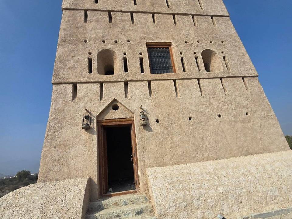
  • 99.3 kmKalba Fort (castle)
  • 103.1 kmBull fighting (Bullring) (attraction)

Practical information

Surface
Paved
Route shape
Loop
Riding time
6–8 hours riding
Season
Dec
Best months
Dec to Mar — daily highs of 25–28 °C in those months

Know before you go

  • 123.8 km on main roads without cycle lane
  • 57.5 km on roads with 80 km/h+ speed limit
  • Gravel or unpaved sections for 2%
  • No café, shop or water for 55.3 km between 33.2 km and 88.5 km

Routes are for inspiration. Roads, surfaces and conditions change — check locally and ride within your limits.

More rides from Fujairah