Road · United Arab Emirates
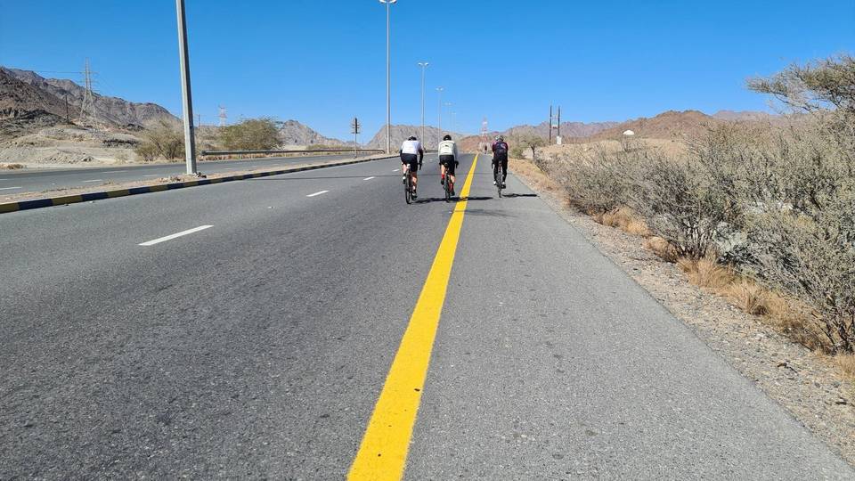
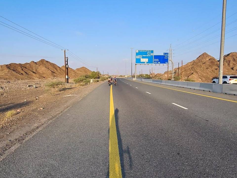
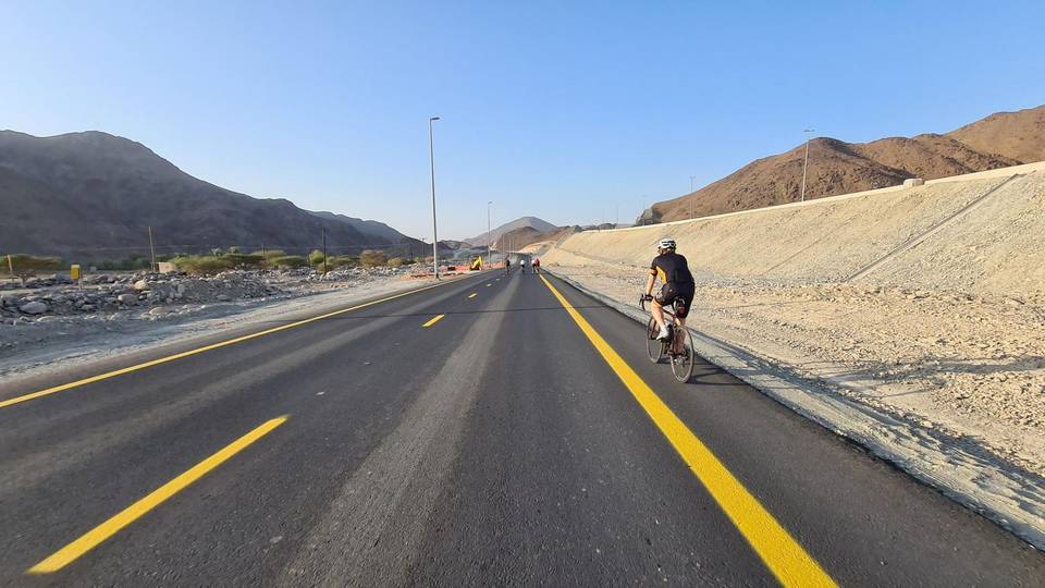
A hilly 111 km road cycling loop from Kalba, Sharjah through Al Saaf, Al Nighala and Hitteen, with 1,340 m of climbing over Ishwais climb (243 m). Most of it (88.6 km) is on main roads without a cycle lane, 51.8 km where the limit is 80 km/h or more. There is a 44 km stretch without a café, shop or water (km 66–109).
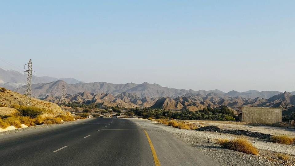
Starting from Kalba, the route heads through numerous small places including Al Saaf, Al Ghail, Al Maqt'a, and others, before returning to Kalba after 110.7 km. The profile features several climbs, notably early climbs at 3.1 km (2 km at 2.5%), 7.7 km (1.7 km at 4.3%), and 12.7 km (1.7 km at 5.3%), reaching the highest point of 315 m near 9.4 km. Later significant climbing includes a 4.4 km section raising 238 m from 49.1 km at 5.4% average gradient with max 12.1%. Total elevation gain is 990 m over the loop, with climbs scattered along the route mainly before and after the halfway mark.
| Climb | Starts at | On this ride | Full ascent | Top on this ride |
|---|---|---|---|---|
| Unnamed climb | 3.1 km | 2 km · 49 m · 2.5 % · max 3.6 % | — | 305 m |
| Unnamed climb | 7.7 km | 1.7 km · 73 m · 4.3 % · max 12.7 % | — | 315 m |
| Unnamed climb | 12.7 km | 1.7 km · 91 m · 5.3 % · max 11.7 % | — | 262 m |
| Unnamed climb | 18.7 km | 2.3 km · 61 m · 2.7 % · max 4.2 % | — | 260 m |
| Ishwais climb (243 m) | 49.1 km | 4.4 km · 238 m · 5.4 % · max 12.1 % | 4.5 km · 240 m · 5.3 % | 247 m |
| Unnamed climb | 79.9 km | 5.4 km · 120 m · 2.2 % · max 3 % | — | 164 m |
| Unnamed climb | 86 km | 2.3 km · 96 m · 4.2 % · max 8 % | — | 268 m |
| Unnamed climb | 93 km | 1.5 km · 84 m · 5.7 % · max 12.7 % | — | 268 m |
| Unnamed climb | 95.6 km | 1.7 km · 65 m · 3.8 % · max 6.6 % | — | 227 m |
| Unnamed climb | 97.5 km | 1.9 km · 81 m · 4.2 % · max 10.1 % | — | 310 m |
| Unnamed climb | 101.5 km | 2.1 km · 65 m · 3.2 % · max 5.1 % | — | 308 m |
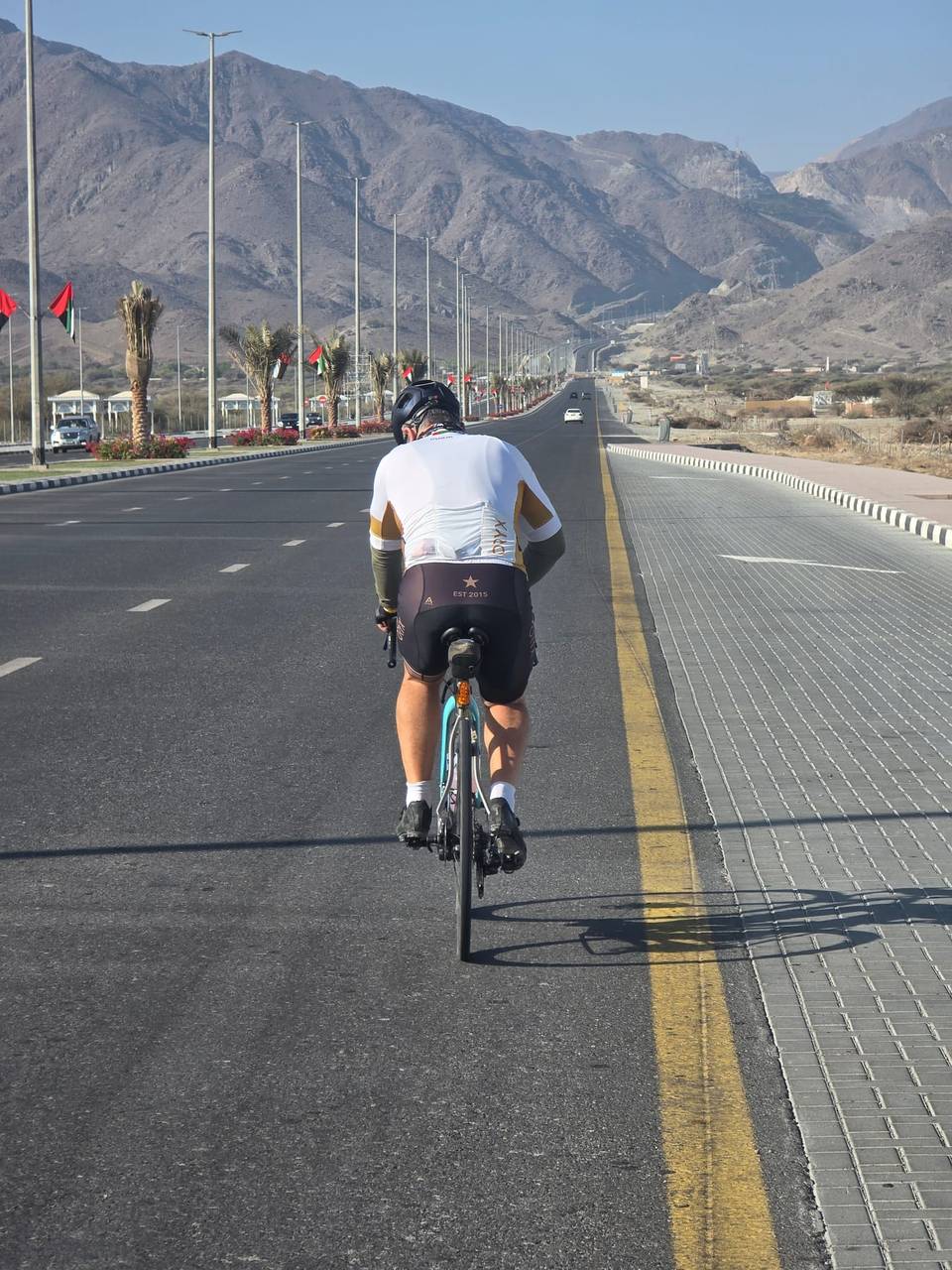
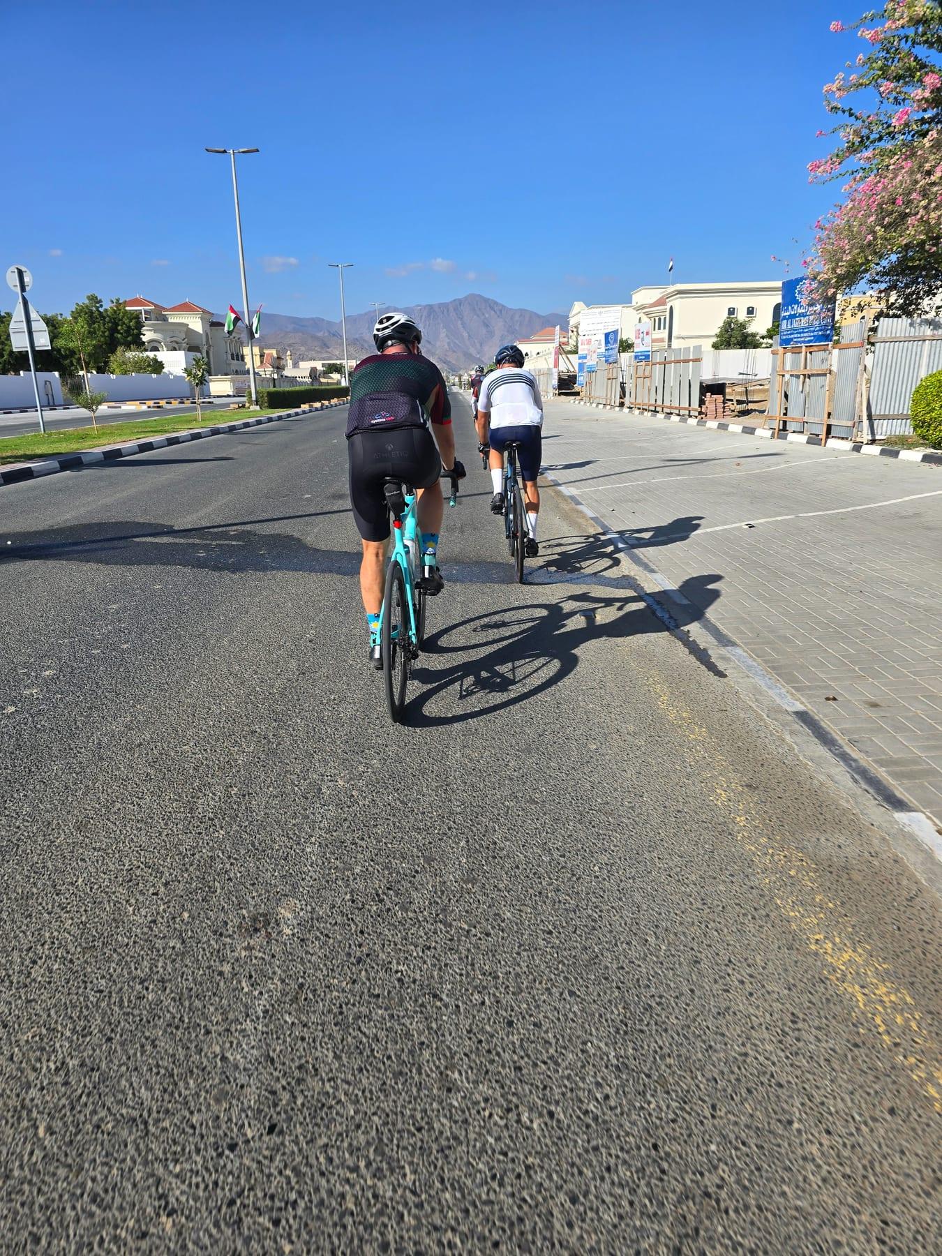
This is not a cycle-track route: 80% is on main roads without a cycle lane, 51.8 km of it where the limit is 80 km/h or more. Riders should be comfortable sharing the road with faster traffic.
The longest stretch without a café, shop or water is 44 km, from km 66 to 109. Along the route: 61 cafés and restaurants, 12 shops, 12 petrol stations, 2 public toilets and 1 bike shop.