Road · United Arab Emirates
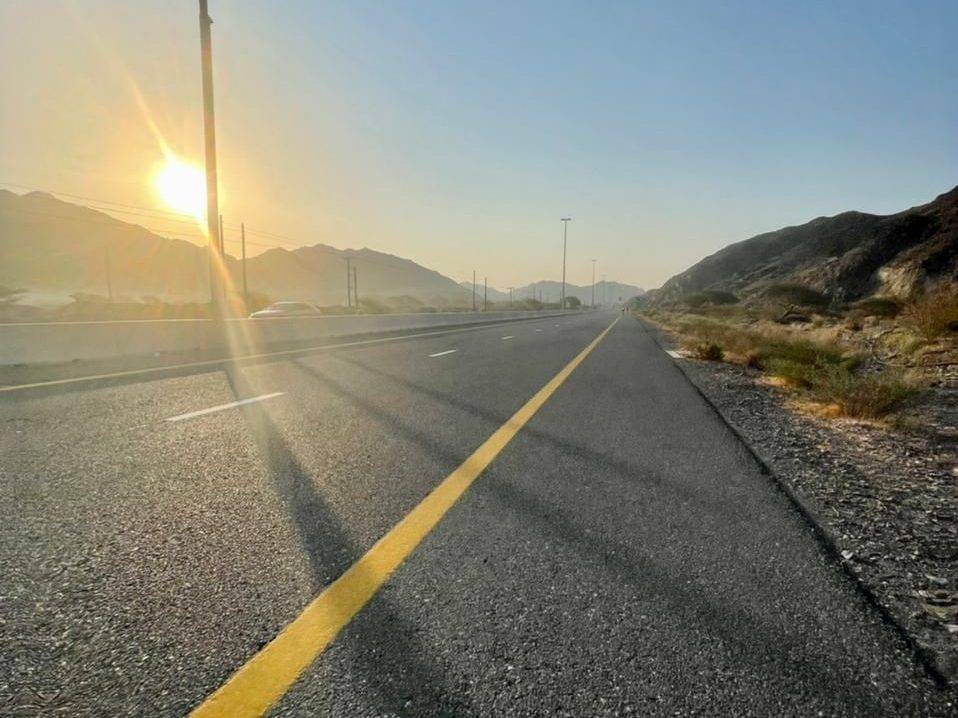
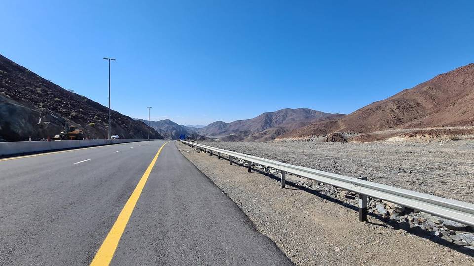
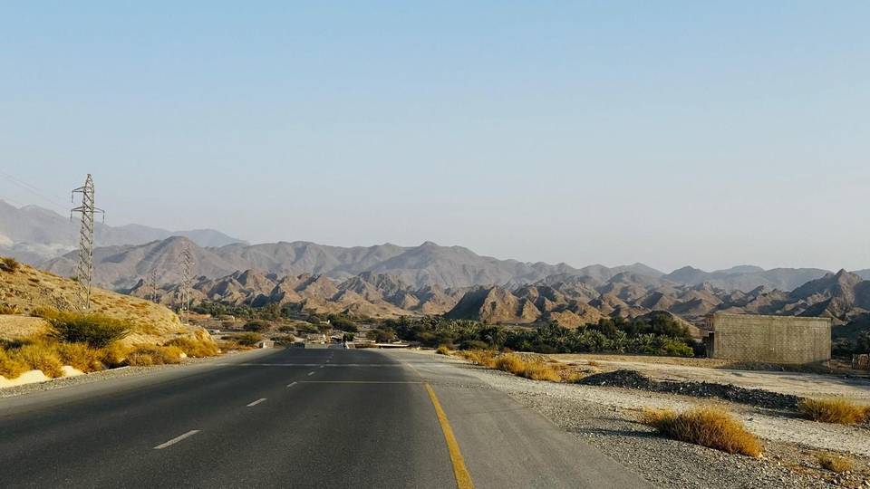
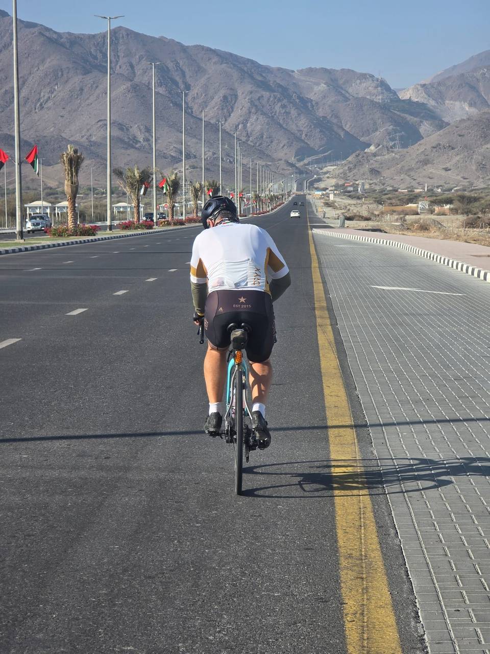
A hilly 107 km road cycling loop from Kalba, Sharjah through Al Qilē'ī, Wahala and Um al Ghaf, with 1,296 m of climbing over Jabal Al Khasfah and the As Simsimānīyah climb. Most of it (96.2 km) is on main roads without a cycle lane, 21 km where the limit is 80 km/h or more. The first 38 km has no café, shop or water.
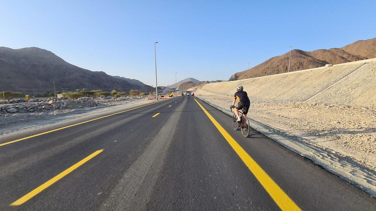
Starting in Kalba, the route passes through Al Qilē'ī at 7.4 km and Minazif at 8.6 km before reaching Wahala at 26.4 km. Early climbs include a 1.8 km section gaining 49 m at 2.7% average and another at 7.9 km climbing 74 m at 4.4% average with a maximum of 12.9%. At 12.9 km there is a 1.7 km climb gaining 88 m at 5.3% average.
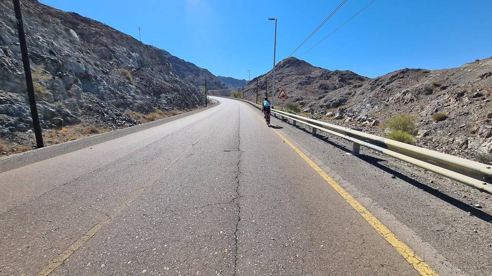
The midsection includes a significant 4.2 km climb from 44.2 km gaining 270 m at 6.4% average, peaking near 290 m. Later climbs include a 5.6 km section from 78 km gaining 187 m at 3.3% average and a shorter 2.2 km climb from 87 km gaining 76 m. The highest point of 407 m is reached near 83.6 km. Most roads are paved (98%), but 2% gravel or unpaved. The route mainly follows main roads (64%) and motorways (22%), with 96 km on main roads without cycle lanes and 21 km on roads with speed limits of 80 km/h or higher.
Services are available from 38.3 km with cafés, shops, and petrol stations near Starbucks (41.1 km) and Habib Beirut restaurant (47.5 km). There is a 38.3 km stretch at the start with no cafés, shops, or water. Places passed include Al ‘Ayn al Ghumūr, Um al Ghaf, Al Naslah, and Sikhēbar before returning to Kalba. The route features climbs beneath Jabal Al Miqsha at 6.3 km and near Jabal Naselah at 62.2 km.
| Climb | Starts at | On this ride | Full ascent | Top on this ride |
|---|---|---|---|---|
| Unnamed climb | 3.1 km | 1.8 km · 49 m · 2.7 % · max 3.9 % | — | 305 m |
| Unnamed climb | 7.9 km | 1.7 km · 74 m · 4.4 % · max 12.9 % | — | 314 m |
| Unnamed climb | 12.9 km | 1.7 km · 88 m · 5.3 % · max 11.8 % | — | 261 m |
| Jabal Al Khasfah | 44.2 km | 4.2 km · 270 m · 6.4 % · steepest 500 m 7.6 % | 4.2 km · 273 m · 6.4 % | 290 m |
| As Simsimānīyah climb | 78 km | 5.6 km · 187 m · 3.3 % · max 9.9 % | 5.9 km · 189 m · 3.2 % | 407 m |
| Unnamed climb | 87 km | 2.2 km · 76 m · 3.5 % · max 6.5 % | — | 384 m |
| Unnamed climb | 102.1 km | 1.5 km · 42 m · 2.8 % · max 6.6 % | — | 277 m |
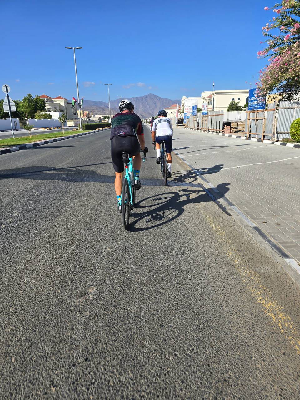
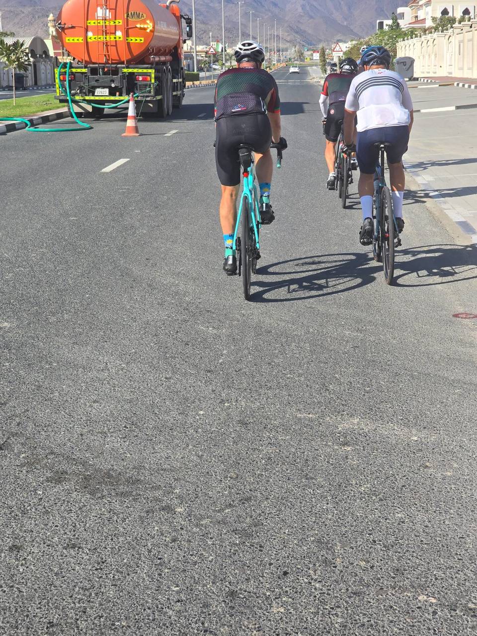
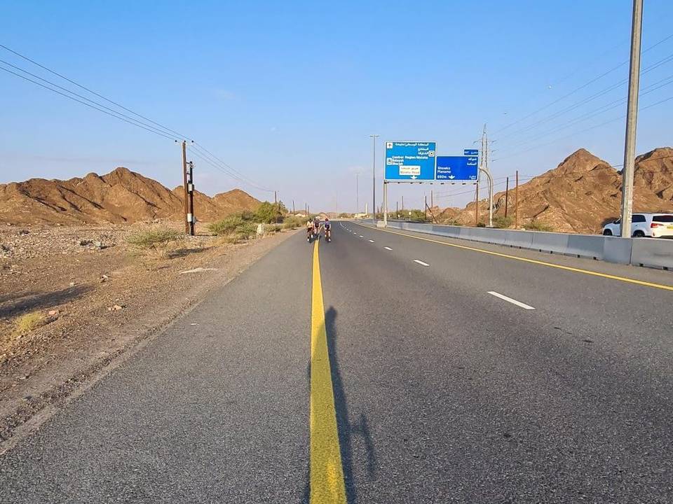
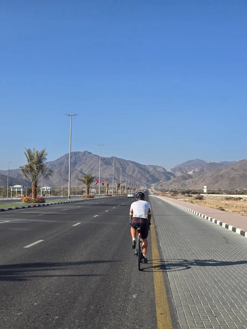
This is not a cycle-track route: 90% is on main roads without a cycle lane, 21 km of it where the limit is 80 km/h or more. Riders should be comfortable sharing the road with faster traffic.
The longest stretch without a café, shop or water is 38 km, from the start. Along the route: 6 cafés and restaurants, 2 shops, 2 petrol stations and 2 public toilets.